2000s (21st Century) Maps of Jefferson Township, South Dakota
Explore 16 historic maps of Jefferson Township from the 2000s (21st Century). These maps offer a rare glimpse into what life looked like during the 2000s — showing old roads, neighborhoods, homes, and landmarks that have changed or disappeared over time.
Whether you're researching your family's past, planning a metal detecting trip, or studying how Jefferson Township's landscape evolved across the 2000s, these high-resolution maps are a powerful tool for exploring the history of this region.
- Focus on a specific era: All maps on this page are from the 2000s, giving you a focused view of this time period.
- See what’s changed: Compare century-old streets, trails, and buildings to today's modern landscape using overlays and satellite layers.
- Research with precision: Use these maps for genealogy, historical research, land use analysis, or educational projects.
- View, download, or print: Maps are fully viewable online in high resolution, and can be downloaded or printed for your own records.
Start exploring Jefferson Township's history through authentic maps from the 2000s. This is your window into the past.
Jefferson Township, SD maps
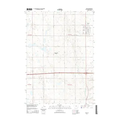
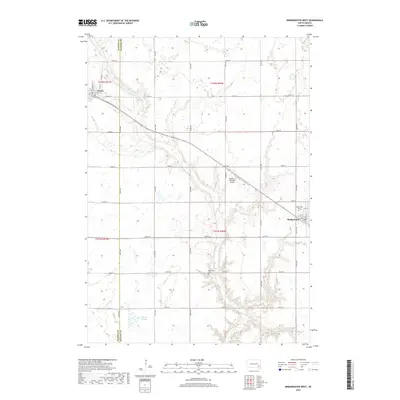
(16)- 2012 Map of Bridgewater West, 2012 Print
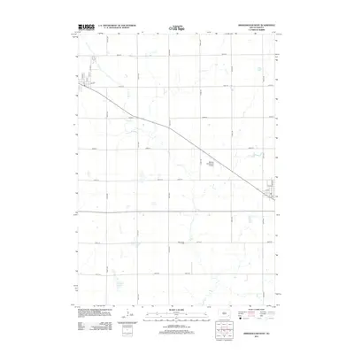 2012 Bridgewater West2012 Print · USGSCovers Jefferson Township, including Bridgewater, Emery, and other nearby areas
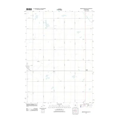
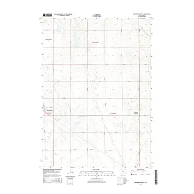
 - 2012 Map of Spencer, 2012 Print
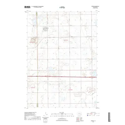
 2012 Spencer2012 Print · USGSCovers Jefferson Township, including Spencer, Edgerton Township, and other nearby areas
 - 2012 Map of Bridgewater East, 2012 Print
 2012 Bridgewater East2012 Print · USGSCovers Jefferson Township, including Bridgewater, Emery Township, and other nearby areas
 - 2012 Map of Salem, 2012 Print
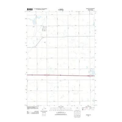
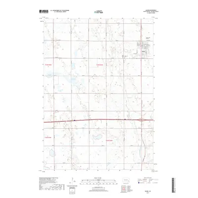
 2012 Salem2012 Print · USGSCovers Jefferson Township, including Salem, Emery Township, and other nearby areas
 - 2015 Map of Salem, 2015 Print
 2015 Salem2015 Print · USGSCovers Jefferson Township, including Salem, Emery Township, and other nearby areas
 - 2015 Map of Bridgewater East, 2015 Print
 2015 Bridgewater East2015 Print · USGSCovers Jefferson Township, including Bridgewater, Emery Township, and other nearby areas
 - 2015 Map of Bridgewater West, 2015 Print
 2015 Bridgewater West2015 Print · USGSCovers Jefferson Township, including Bridgewater, Emery, and other nearby areas
 - 2015 Map of Spencer, 2015 Print
 2015 Spencer2015 Print · USGSCovers Jefferson Township, including Spencer, Edgerton Township, and other nearby areas
 - 2017 Map of Bridgewater West, 2017 Print
 2017 Bridgewater West2017 Print · USGSCovers Jefferson Township, including Bridgewater, Emery, and other nearby areas
 - 2017 Map of Spencer, 2017 Print
 2017 Spencer2017 Print · USGSCovers Jefferson Township, including Spencer, Edgerton Township, and other nearby areas
 - 2017 Map of Bridgewater East, 2017 Print
 2017 Bridgewater East2017 Print · USGSCovers Jefferson Township, including Bridgewater, Emery Township, and other nearby areas
 - 2017 Map of Salem, 2017 Print
 2017 Salem2017 Print · USGSCovers Jefferson Township, including Salem, Emery Township, and other nearby areas
 - 2021 Map of Bridgewater West, 2021 Print
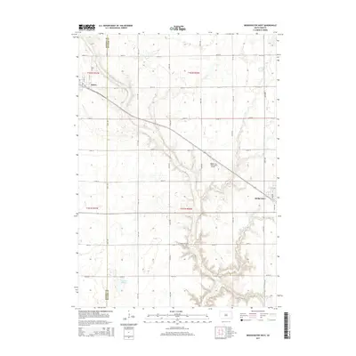
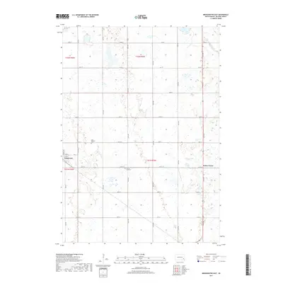
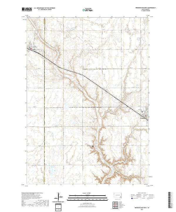 2021 Bridgewater West2021 Print · USGSThe agricultural heartland of Hanson and McCook Counties comes into focus in this modern survey of the South Dakota prairie. Genealogists and local historians can trace the rural landscape through Rasmussen Cemetery, the streets of Emery, and the banks of Wolf Creek.
 - 2021 Map of Bridgewater East, 2021 Print
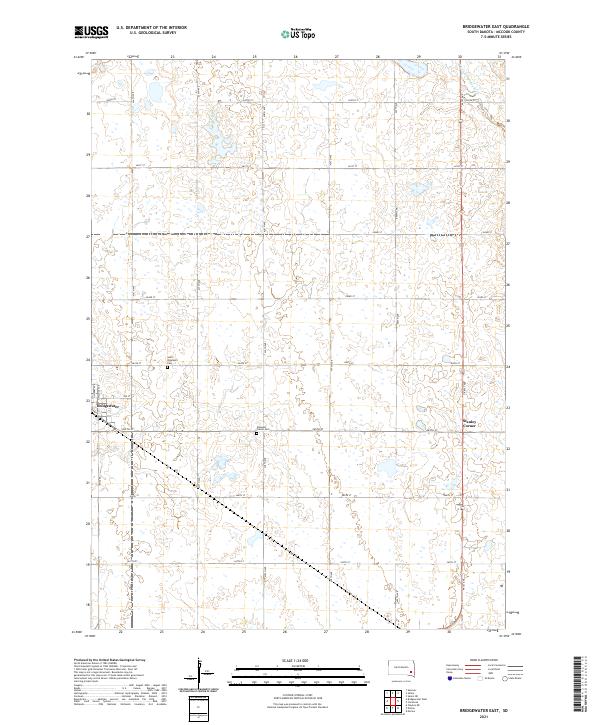 2021 Bridgewater East2021 Print · USGSMcCook County is shown in its modern agricultural form at the start of the 2020s, revealing the intersection of rural life and historic community sites. Genealogists can trace local roots at Saint Stephen's Cem and Pleasant Prairie Cem or examine the town layout of Bridgewater.
 - 2021 Map of Spencer, 2021 Print
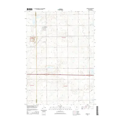
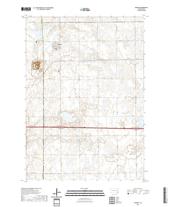 2021 Spencer2021 Print · USGSThe prairie town of Spencer and the rural borders of McCook and Hanson counties are captured in this modern survey. Genealogists and local historians can trace burial sites at Spencer Cem or locate family homesteads near Lake Eli and Wolf Creek.
 - 2021 Map of Salem, 2021 Print
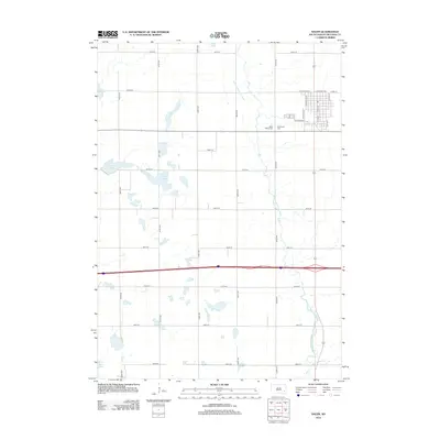
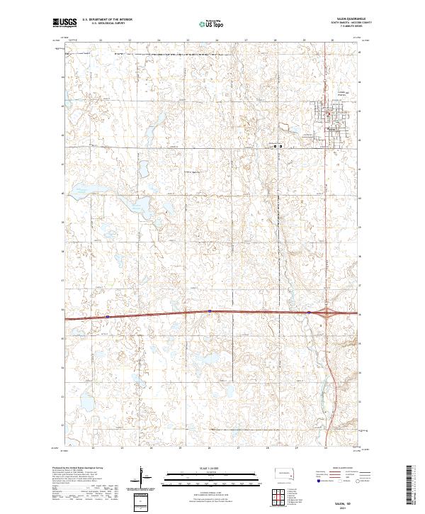 2021 Salem2021 Print · USGSMcCook County is shown at its modern peak in this 2021 survey of the eastern South Dakota plains. Genealogists and local historians can trace family plots at Wildwood Cem or locate the civic center at the Mc Cook County Courthouse.
End of results
Showing maps 1-16 of 16
Top cities near Jefferson Township
- Salem historical maps
- Alexandria historical maps
- Bridgewater historical maps
- Emery historical maps
- Spencer historical maps
- Clayton historical maps
See more
Frequently asked questions
- What are the different types of historical maps available for Jefferson Township?
- What is the oldest map of Jefferson Township?
- Where can I purchase historical maps of Jefferson Township for my home or office?
- Where can I download high-res historical maps of Jefferson Township?
- Are there historical topographic maps available for Jefferson Township?
- Is there historical aerial imagery available for Jefferson Township?
- Where are historical maps of Jefferson Township sourced from?