Loading...
Loading map...2021 Map of Salem
USGS Topo · Published 2021About this map
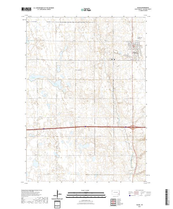
The Salem townsite serves as the primary hub of this eastern South Dakota landscape, characterized by the glacial topography of the Coteau des Prairies. Centered on the Mc Cook County Courthouse, the community's residential grid transitions into a vast network of section-line roads and agricultural tracts. Notable local heritage sites include Wildwood Cem and Saint Mary's Cem, which mark the spiritual and genealogical history of the area's early settlers.
Find a feature on this map
28 named features on this map. Tap any name to fly to it.
Don’t see what you’re looking for? This feature index may not catch every label — zoom into the map to look around manually.
Map Details
Date Portrayed2021
Date Published2021
PublisherU.S. Geological Survey
Map TypeTopographic
Scale1:24000
Physical Dimensions24 x 29 inches
Editions of this 2021 Salem Map
This is the sole edition of this map. No revisions or reprints were ever made.
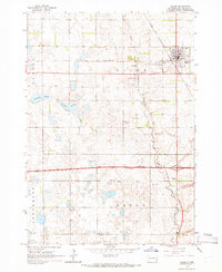
Historical Maps of Jefferson Township Through Time

Featured Locations
- Jefferson Township, SD
- Benton Township, SD
- Emery Township, SD
- Goldenview Hutterite Colony, Salem Township
- Salem, Salem Township
Source Details
SourceU.S. Geological Survey
CopyrightPublic Domain