Old Maps of Riverview Township, South Dakota for Hiking & Exploration
Hike through history with 23 historic maps of Riverview Township. Explore old trails, ghost towns, and forgotten backroads — perfect for outdoor adventurers and local explorers.
- Rediscover forgotten places: Map out old mining camps, roads, and footpaths that no longer exist on modern maps.
- Layer with modern tools: Combine with LiDAR or satellite views to plan hikes through historical terrain.
- Made for exploration: Popular among hikers, overlanders, and local history lovers.
Use these maps to find adventure and explore the hidden past of Riverview Township.
Riverview Township, SD maps
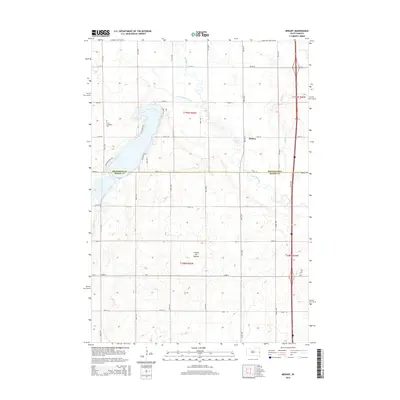
(23)- 1953 Map of Watertown, 1968 Print
 1953 Watertown1968 Print · USGSEastern South Dakota and the Minnesota borderlands are captured here during the mid-twentieth century as the region's agricultural and rail-service centers thrived. Genealogists and local historians can trace family-named sites across the Coteau des Prairies and find landmarks in Watertown, De Smet, and Brookings.3 unique versions available
 - 1958 Map of Watertown
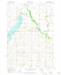
 1958 Watertown1958 Print · USGSThe eastern South Dakota prairie and the Minnesota borderlands are captured here in the late fifties, showcasing a landscape of terminal moraine lakes and burgeoning rail hubs. Genealogists and historians can trace the early paths of the Chicago and North Western railroad or locate family roots in Watertown, Clark, or the Sisseton Indian Reservation.2 unique versions available
 - 1964 Map of Medary, 1965 Print
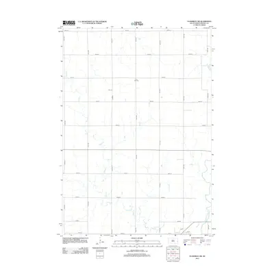
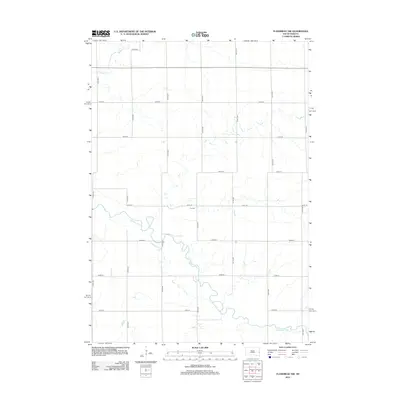
 1964 Medary1965 Print · USGSThe Brookings and Moody County borderlands are seen here in the mid-1960s, centered on the river-cut prairies of eastern South Dakota. Genealogists and researchers can locate several rural schools and landmarks like Lake Campbell Cem, Galla Sch, and the historic settlement of Medary.4 unique versions available
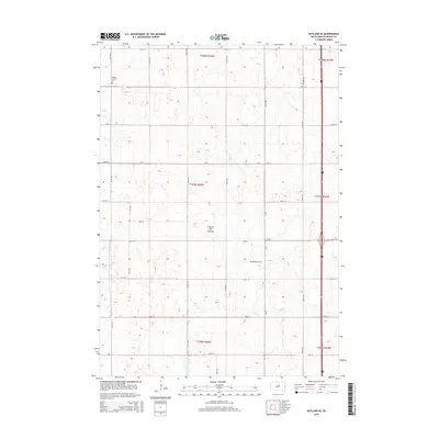
 - 1964 Map of Rutland SE, 1965 Print
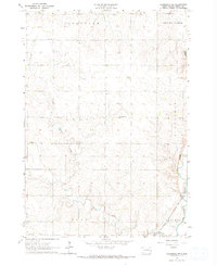
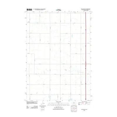
 1964 Rutland SE1965 Print · USGSPrairie townships in Moody County are shown in detail during the 1960s, capturing a rural landscape of family farms and section roads. Researchers can locate community landmarks like Whaley Sch, Mt Auburn Cem, and the Wellman Ch.2 unique versions available
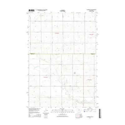
 - 1964 Map of Flandreau SW, 1965 Print
 1964 Flandreau SW1965 Print · USGSMoody County's agricultural landscape is seen here in the early 1960s, centered on the railroad town of Egan. Genealogists can trace a dense network of country schoolhouses and churches including Tidd Sch, Clare Ch, and Bell Sch.2 unique versions available
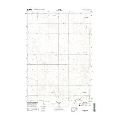
 - 1964 Map of Flandreau NW, 1965 Print
 1964 Flandreau NW1965 Print · USGSThe Brookings and Moody county line comes alive in the mid-1960s, showing a prairie landscape shaped by the Big Sioux River. Genealogists and historians can locate rural landmarks like Wellman Sch, Riverview Cem, and Coleman Sch.
 - 1985 Map of Brookings
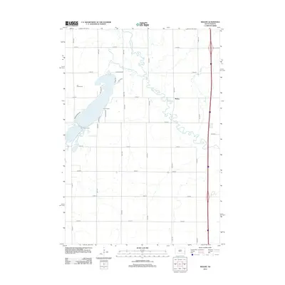
 1985 Brookings1985 Print · USGSThe South Dakota and Minnesota borderlands in the mid-1980s are defined here by a network of prairie lakes and bustling rail corridors. Researchers can trace the path of the Chicago and North Western through Brookings or explore the numerous wetlands of Oakwood Lakes State Park.2 unique versions available
 - 2012 Map of Flandreau SW, 2012 Print
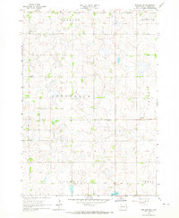
 2012 Flandreau SW2012 Print · USGSCovers Riverview Township, including Egan, Clare Township, and other nearby areas
 - 2012 Map of Flandreau NW, 2012 Print
 2012 Flandreau NW2012 Print · USGSCovers Riverview Township, including Spring Creek Township, Trenton Township, and other nearby areas
 - 2012 Map of Rutland SE, 2012 Print
 2012 Rutland SE2012 Print · USGSCovers Riverview Township, including Clare Township, Colman Township, and other nearby areas
 - 2012 Map of Medary, 2012 Print
 2012 Medary2012 Print · USGSCovers Riverview Township, including Medary, Medary Township, and other nearby areas
 - 2015 Map of Medary, 2015 Print
 2015 Medary2015 Print · USGSCovers Riverview Township, including Medary, Medary Township, and other nearby areas
 - 2015 Map of Flandreau NW, 2015 Print
 2015 Flandreau NW2015 Print · USGSCovers Riverview Township, including Spring Creek Township, Trenton Township, and other nearby areas
 - 2015 Map of Flandreau SW, 2015 Print
 2015 Flandreau SW2015 Print · USGSCovers Riverview Township, including Egan, Clare Township, and other nearby areas
 - 2015 Map of Rutland SE, 2015 Print
 2015 Rutland SE2015 Print · USGSCovers Riverview Township, including Clare Township, Colman Township, and other nearby areas
 - 2017 Map of Flandreau SW, 2017 Print
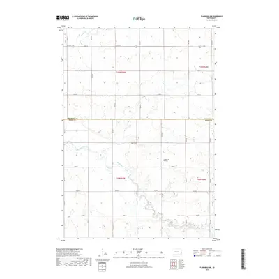
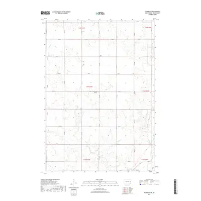 2017 Flandreau SW2017 Print · USGSCovers Riverview Township, including Egan, Clare Township, and other nearby areas
 - 2017 Map of Rutland SE, 2017 Print
 2017 Rutland SE2017 Print · USGSCovers Riverview Township, including Clare Township, Colman Township, and other nearby areas
 - 2017 Map of Flandreau NW, 2017 Print
 2017 Flandreau NW2017 Print · USGSCovers Riverview Township, including Spring Creek Township, Trenton Township, and other nearby areas
 - 2017 Map of Medary, 2017 Print
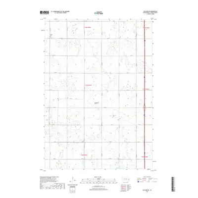
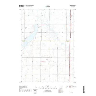 2017 Medary2017 Print · USGSCovers Riverview Township, including Medary, Medary Township, and other nearby areas
 - 2021 Map of Flandreau SW, 2021 Print
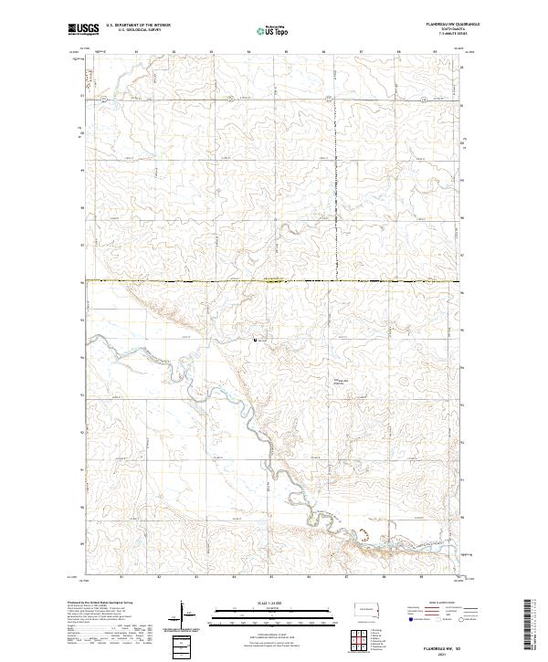
 2021 Flandreau SW2021 Print · USGSMoody County agriculture and the Big Sioux River valley are shown in this contemporary topographic record. Local historians can trace the geography around Egan and find family-named landmarks like Clare Cem and the Jay Heath Canoe & Kayak Trl.
 - 2021 Map of Flandreau NW, 2021 Print
 2021 Flandreau NW2021 Print · USGSMoody and Brookings counties are captured in this recent survey of the South Dakota prairie, showing a landscape defined by section-line roads and river valleys. Genealogists and local historians can locate Yeo Cem and trace the winding course of the Big Sioux River.
 - 2021 Map of Medary, 2021 Print
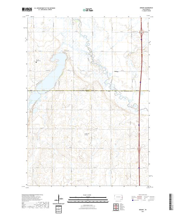 2021 Medary2021 Print · USGSThe Brookings and Moody County line comes alive in this contemporary survey of the Coteau des Prairies highlands. Researchers can locate family sites near Medary, trace the Big Sioux River shoreline, or find the East Lake Campbell Cem.
 - 2021 Map of Rutland SE, 2021 Print
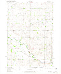
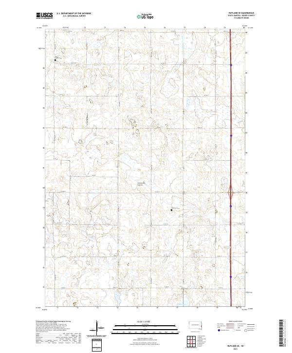 2021 Rutland SE2021 Print · USGSMoody County's agricultural heartland is documented here during the early twenty-first century, showcasing the characteristic wetlands of the Coteau des Prairies. Genealogists can locate family sites near Mount Auburn Cem, Martinson Cem, and the shores of Mud Lake.
End of results
Showing maps 1-23 of 23
Top cities near Riverview Township
- Brookings historical maps
- Flandreau historical maps
- Volga historical maps
- Medary historical maps
- Elkton historical maps
- Colman historical maps
See more
Frequently asked questions
- What are the different types of historical maps available for Riverview Township?
- What is the oldest map of Riverview Township?
- Where can I purchase historical maps of Riverview Township for my home or office?
- Where can I download high-res historical maps of Riverview Township?
- Are there historical topographic maps available for Riverview Township?
- Is there historical aerial imagery available for Riverview Township?
- Where are historical maps of Riverview Township sourced from?