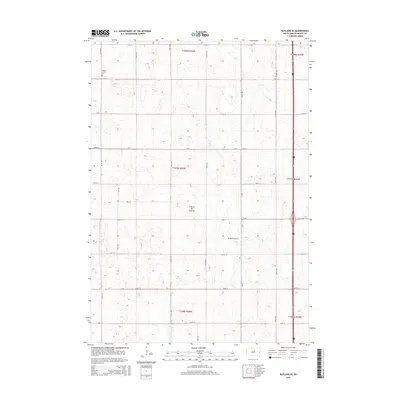
2015 Map of Rutland SE
USGS Topo · Published 2015About this map
The Coteau des Prairies plateau defines the landscape of this section of Moody County, characterized by the undulating glacial geography of eastern South Dakota. This 2015 survey reveals a strictly organized rural grid of section lines and gravel roads such as Cr-6 and 230th St. Significant for genealogical research, the map identifies two specific burial grounds: Mount Auburn Cem in the northwest and Martinson Cem near the center. The area reflects a sparse, agricultural settlement pattern where the land is primarily divided by township and range boundaries, including t107n r50w and t107n r49w. The placement of these cemeteries amidst the vast stretches of farm plots suggests the locations of earlier community hubs or family settlements that have otherwise left few footprints on the modern road network.
Find a feature on this map
30 named features on this map. Tap any name to fly to it.
Don’t see what you’re looking for? This feature index may not catch every label — zoom into the map to look around manually.
Map Details
Editions of this 2015 Rutland SE Map
This is the sole edition of this map. No revisions or reprints were ever made.
Other maps of this area

1953 · Watertown
USGS Topo · 1:250,000

1955 · Sioux Falls
USGS Topo · 1:250,000

1958 · Sioux Falls
USGS Topo · 1:250,000

1958 · Watertown
USGS Topo · 1:250,000

1963 · Trent
USGS Topo · 1:24,000

1963 · Colman
USGS Topo · 1:24,000

1964 · Medary
USGS Topo · 1:24,000

1964 · Rutland SE
USGS Topo · 1:24,000

1964 · Flandreau SW
USGS Topo · 1:24,000

1964 · Flandreau NW
USGS Topo · 1:24,000