2010s Maps of Porcupine, South Dakota
Explore 42 historic maps of Porcupine from the 2010s. These maps offer a rare glimpse into what life looked like during the 2010s — showing old roads, neighborhoods, homes, and landmarks that have changed or disappeared over time.
Whether you're researching your family's past, planning a metal detecting trip, or studying how Porcupine's landscape evolved across the 2010s, these high-resolution maps are a powerful tool for exploring the history of this region.
- Focus on a specific era: All maps on this page are from the 2010s, giving you a focused view of this time period.
- See what’s changed: Compare century-old streets, trails, and buildings to today's modern landscape using overlays and satellite layers.
- Research with precision: Use these maps for genealogy, historical research, land use analysis, or educational projects.
- View, download, or print: Maps are fully viewable online in high resolution, and can be downloaded or printed for your own records.
Start exploring Porcupine's history through authentic maps from the 2010s. This is your window into the past.
Porcupine, SD maps
(42)- 2012 Map of Stirk Table, 2012 Print
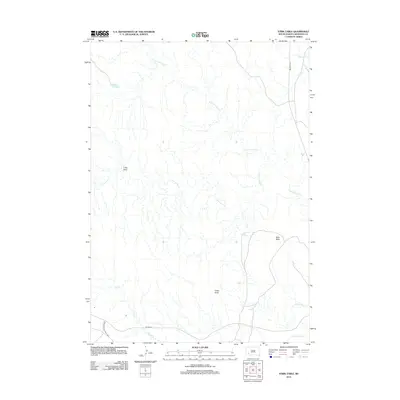 2012 Stirk Table2012 Print · USGSThe high tablelands of Oglala Lakota County are mapped here in the early twenty-first century, showing the intersection of ranch roads and tribal lands. Researchers can trace the path of the Big Foot Trl and identify landmarks like Stirk Table and Cedar Butte.
 - 2012 Map of Batesland NW, 2012 Print
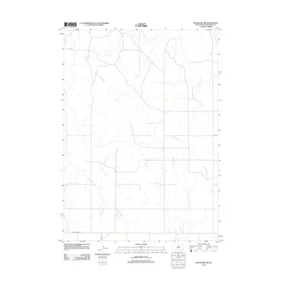 2012 Batesland NW2012 Print · USGSShannon County's high plains are captured in the early twenty-first century, showing a landscape shaped by ancient watercourses. Researchers can trace the winding paths of the Little White River and Stinking Water Cr or locate rural transit points along Gordon Rd.
 - 2012 Map of Rockyford, 2012 Print
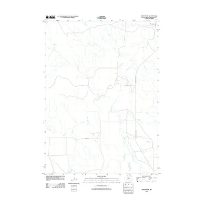 2012 Rockyford2012 Print · USGSShannon County at the beginning of the twenty-first century reveals a landscape primarily defined by its riparian networks and local crossings. Genealogists and historians can trace the paths of the White River and Wounded Knee Cr as they pass the settlement of Rockyford.
 - 2012 Map of Manderson, 2012 Print
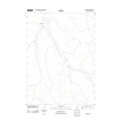 2012 Manderson2012 Print · USGSManderson and the surrounding creek valleys are captured in the early twenty-first century, showing the settlement and transportation network of this region. Researchers can trace family sites near Saint Paul Cem and follow the routes of White Horse Cr and Indian Service Road 33.
 - 2012 Map of Bouquet Table, 2012 Print
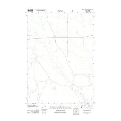 2012 Bouquet Table2012 Print · USGSThis South Dakota prairie landscape near the White River was documented in the early twenty-first century. Researchers can trace the drainage patterns of Cain Cr and Clifford Cr or locate the Sage Creek 344 Reservoir along Bouquet Table Rd.
 - 2012 Map of Evergreen SW, 2012 Print
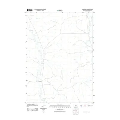 2012 Evergreen SW2012 Print · USGSOglala Lakota County is mapped here in the early twenty-first century, showing the intricate drainages of the Pine Ridge region. Trace the paths of Wounded Knee Cr and Big Foot Trl as they navigate the landscape alongside Gooseneck Rd.
 - 2012 Map of Sharps Corner, 2012 Print
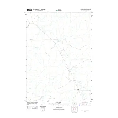 2012 Sharps Corner2012 Print · USGSThe Pine Ridge Reservation area in Oglala Lakota County comes into focus in this early twenty-first-century survey. Genealogists and local historians can trace the roads around Sharps Corner, locate Chimney Butte, and follow the path of Porcupine Cr.
 - 2012 Map of Sheep Mountain Table, 2012 Print
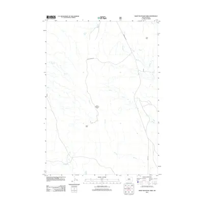 2012 Sheep Mountain Table2012 Print · USGSHigh plains terrain in Oglala Lakota County is captured here in the early twenty-first century. Genealogists and researchers can trace drainage patterns along Wind Creek and follow the routes of Bombing Range Road and Big Foot Trail.
 - 2012 Map of Imlay SE, 2012 Print
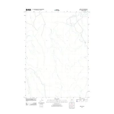 2012 Imlay SE2012 Print · USGSThe South Dakota plains south of Kyle are defined by the winding course of the White River in the early 21st century. Genealogists and researchers can trace the drainage basins of Medicine Root Cr and Palmer Cr along the route of River Rd.
 - 2012 Map of Imlay, 2012 Print
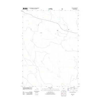 2012 Imlay2012 Print · USGSThe high plateaus of Pennington County are documented here during the early twenty-first century, showing a landscape defined by ranching and erosion. Researchers can trace the drainage of Wind Cr or locate the settlement of Imlay near Hunt Table.
 - 2012 Map of Wounded Knee, 2012 Print
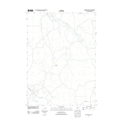 2012 Wounded Knee2012 Print · USGSShannon County in the early twenty-first century reveals a landscape defined by traditional routes and natural landmarks like Porcupine Butte. Genealogists and researchers can trace local movement along the Big Foot Trl or locate the Saint Julia Cem.
 - 2012 Map of Evergreen, 2012 Print
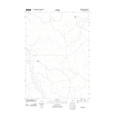 2012 Evergreen2012 Print · USGSSettlements in Shannon County, South Dakota, are depicted here in the early 21st century alongside significant cultural landmarks. Trace the geographic path of the Big Foot Trl or locate family-associated sites like Iron Cloud Spring and Evergreen.
 - 2012 Map of Imlay SW, 2012 Print
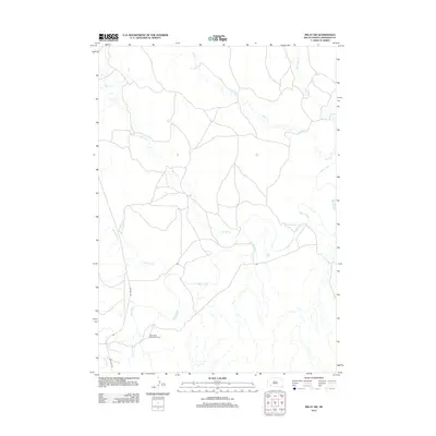 2012 Imlay SW2012 Print · USGSOglala Lakota County reveals its rural character in the early twenty-first century as the White River dominates the drainage of this landscape. Researchers can locate the Saint Mary Magdalene Cem and trace the path of the Big Foot Trl.
 - 2012 Map of Evergreen NE, 2012 Print
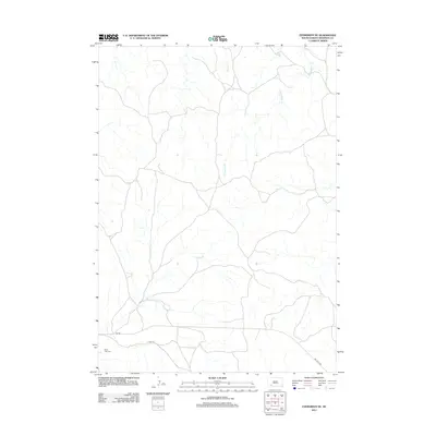 2012 Evergreen NE2012 Print · USGSSouth Dakota's high plains near Kyle are mapped here in the early twenty-first century, showing a network of rural roads and waterways. Researchers can trace local heritage at Saint Luke Cem or follow historical routes along Big Foot Trl and Palmer Cr.
 - 2015 Map of Batesland NW, 2015 Print
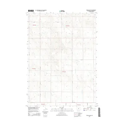 2015 Batesland NW2015 Print · USGSPine Ridge country in the mid-2010s reveals a sprawling prairie landscape defined by its vital creek beds and rural section roads. Genealogists and historians can trace the paths of Little White River, Wounded Knee RD, and Stinking Water Cr through Oglala Lakota County.
 - 2015 Map of Stirk Table, 2015 Print
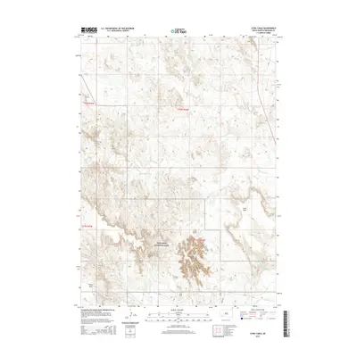 2015 Stirk Table2015 Print · USGSThe high tables and deep draws of the Pine Ridge Reservation are captured here in the mid-2010s. Researchers can trace the dramatic landscape from Stirk Table down toward the White River, passing through the protected boundaries of Badlands National Park.
 - 2015 Map of Manderson, 2015 Print
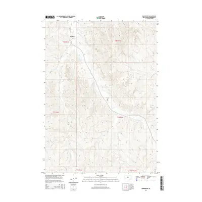 2015 Manderson2015 Print · USGSThe Pine Ridge region in the mid-2010s reveals a landscape shaped by the winding waters of Wounded Knee Cr and its tributaries. Genealogists and historians can trace the settlement of Manderson and find local landmarks like the Saint Paul Cem.
 - 2015 Map of Evergreen SW, 2015 Print
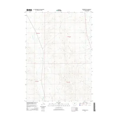 2015 Evergreen SW2015 Print · USGSThe Oglala Lakota plains are documented here in the mid-2010s, showing the intersection of traditional landscapes and modern tribal infrastructure. Researchers can trace the winding path of Wounded Knee Cr and follow the routes of BIA-14 and BIA-24 across the township lines.
 - 2015 Map of Rockyford, 2015 Print
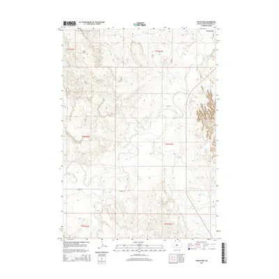 2015 Rockyford2015 Print · USGSThe Pine Ridge landscape around Rockyford comes into focus in this recent survey of Oglala Lakota County. Researchers can trace the winding course of the White River and locate landmarks like Cuny Table and Wounded Knee Cr.
 - 2015 Map of Evergreen, 2015 Print
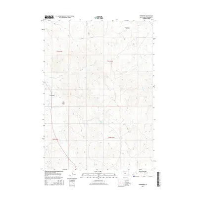 2015 Evergreen2015 Print · USGSEvergreen and the surrounding plains of South Dakota appear here in the early twenty-first century. Genealogists and historians can trace family-named landmarks and water sources such as Iron Cloud Spring, Iron Cloud Canyon, and Bell Butte.
 - 2015 Map of Sharps Corner, 2015 Print
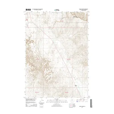 2015 Sharps Corner2015 Print · USGSSharps Corner and the surrounding plains of Oglala Lakota County are captured in this modern survey of south-central South Dakota. Genealogists and local historians can trace the course of Porcupine Cr or locate landmarks like Chimney Butte and the edge of Badlands National Park.
 - 2015 Map of Sheep Mountain Table, 2015 Print
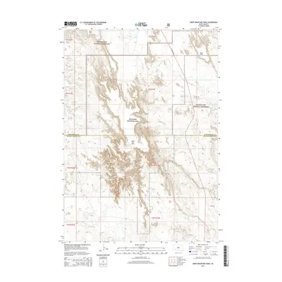 2015 Sheep Mountain Table2015 Print · USGSThe South Dakota badlands and grasslands are captured here in detail during the mid-2010s. Researchers can trace the unique topography of Sheep Mtn Table, the path of Bombing Range road, and the borders of Badlands National Park.
 - 2015 Map of Imlay SE, 2015 Print
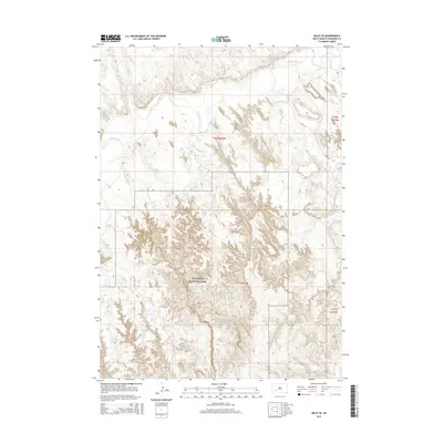 2015 Imlay SE2015 Print · USGSShannon County's unique prairie and canyon landscape is captured here in the mid-2010s, showcasing the intersection of protected wilderness and local waterways. Researchers can trace the drainage of White River and find landmarks like Badlands National Park and Medicine Root Cr.
 - 2015 Map of Evergreen NE, 2015 Print
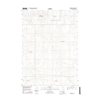 2015 Evergreen NE2015 Print · USGSPine Ridge Reservation and the edge of the Badlands are documented in this mid-2010s survey of the high plains. Genealogists and local historians can locate Saint Luke Cem and trace the paths of Palmer Cr and the rugged Fire Trl.
 - 2015 Map of Imlay SW, 2015 Print
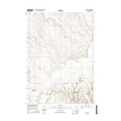 2015 Imlay SW2015 Print · USGSThe rugged drainage of the White River valley is captured here in the early twenty-first century. Genealogists and historians can locate the Saint Mary Magdalene Cemetery and trace the boundaries of Badlands National Park.
Showing maps 1-25 of 42
Top neighborhoods of Porcupine
Frequently asked questions
- What are the different types of historical maps available for Porcupine?
- What is the oldest map of Porcupine?
- Where can I purchase historical maps of Porcupine for my home or office?
- Where can I download high-res historical maps of Porcupine?
- Are there historical topographic maps available for Porcupine?
- Is there historical aerial imagery available for Porcupine?
- Where are historical maps of Porcupine sourced from?