Old Maps of Rockyford, Porcupine for Academic Research
Study the evolution of Rockyford with 7 high-resolution historic maps. Whether you're teaching, researching, or modeling changes in land use, these maps provide essential visual documentation of urban, environmental, and geographic change.
- Analyze long-term change: Track patterns in development, transportation, and natural features.
- Ideal for environmental or urban studies: Support academic projects with primary historical map data.
- Use in the classroom or lab: Educators and researchers rely on these maps to bring historical context to life.
These maps are a powerful tool for teaching, research, and visualizing how Rockyford has changed over the decades.
Rockyford, Porcupine maps
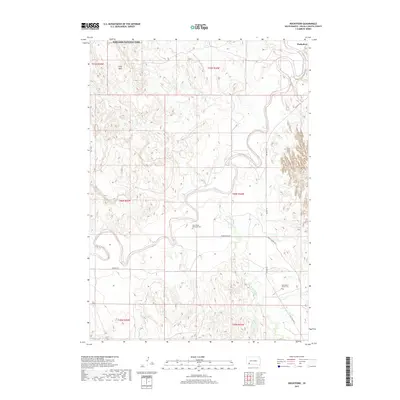
(7)- 1951 Map of Rockyford, 1953 Print
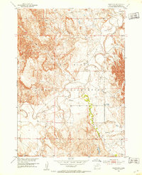 1951 Rockyford1953 Print · USGSThe Pine Ridge Indian Reservation during the early fifties reveals a landscape of high tablelands and winding river valleys. Genealogists and historians can trace the locations of rural community hubs like Rockyford, Steele Sch, and St Peter Ch.3 unique versions available
 - 1955 Map of Hot Springs, 1958 Print
 1955 Hot Springs1958 Print · USGSThe Black Hills and South Dakota badlands are captured here in the mid-fifties, during a peak of military and industrial activity. Researchers can locate the Black Hills Ordnance Depot, early Uranium Mines, and historic rail stops like Pringle or Oglala.5 unique versions available
 - 1985 Map of Pine Ridge
 1985 Pine Ridge1985 Print · USGSThe Pine Ridge Indian Reservation and the edge of the Badlands are detailed in this mid-eighties survey of the South Dakota-Nebraska border. Researchers can trace the drainages of Wounded Knee Creek and White River to locate landmarks like Red Dog Table and Wounded Knee.2 unique versions available
 - 2012 Map of Rockyford, 2012 Print
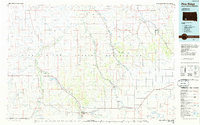
 2012 Rockyford2012 Print · USGSCovers Rockyford, including Porcupine, Wounded Knee District, and other nearby areas
 - 2015 Map of Rockyford, 2015 Print
 2015 Rockyford2015 Print · USGSCovers Rockyford, including Porcupine, Wounded Knee District, and other nearby areas
 - 2017 Map of Rockyford, 2017 Print
 2017 Rockyford2017 Print · USGSCovers Rockyford, including Porcupine, Wounded Knee District, and other nearby areas
 - 2021 Map of Rockyford, 2021 Print
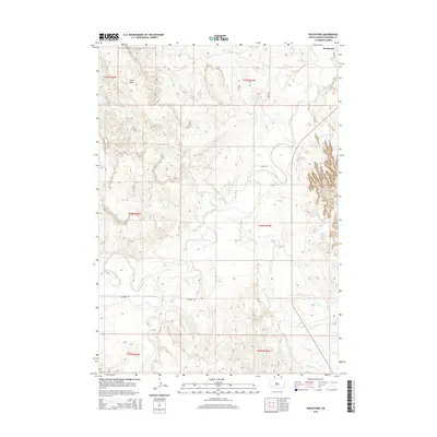
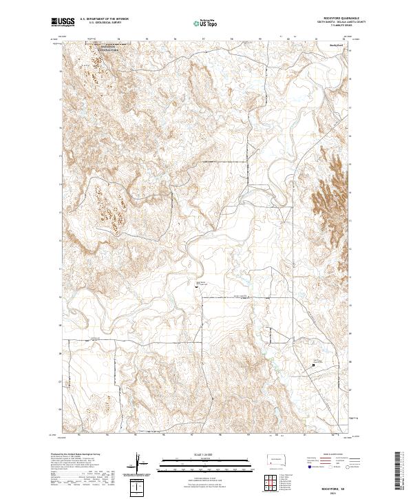 2021 Rockyford2021 Print · USGSThe Oglala Lakota landscape in the early 2020s shows a community centered around the White River and Rockyford. Genealogists and historians can locate specific sites like Saint Mark's Episcopal Cem and Saint Peter Church Cem.
End of results
Showing maps 1-7 of 7
Top cities near Rockyford
Frequently asked questions
- What are the different types of historical maps available for Rockyford?
- What is the oldest map of Rockyford?
- Where can I purchase historical maps of Rockyford for my home or office?
- Where can I download high-res historical maps of Rockyford?
- Are there historical topographic maps available for Rockyford?
- Is there historical aerial imagery available for Rockyford?
- Where are historical maps of Rockyford sourced from?