2020s Maps of Floyd Township, South Dakota
Explore 4 historic maps of Floyd Township from the 2020s. These maps offer a rare glimpse into what life looked like during the 2020s — showing old roads, neighborhoods, homes, and landmarks that have changed or disappeared over time.
Whether you're researching your family's past, planning a metal detecting trip, or studying how Floyd Township's landscape evolved across the 2020s, these high-resolution maps are a powerful tool for exploring the history of this region.
- Focus on a specific era: All maps on this page are from the 2020s, giving you a focused view of this time period.
- See what’s changed: Compare century-old streets, trails, and buildings to today's modern landscape using overlays and satellite layers.
- Research with precision: Use these maps for genealogy, historical research, land use analysis, or educational projects.
- View, download, or print: Maps are fully viewable online in high resolution, and can be downloaded or printed for your own records.
Start exploring Floyd Township's history through authentic maps from the 2020s. This is your window into the past.
Floyd Township, SD maps
(4)- 2021 Map of Artesian NW, 2021 Print
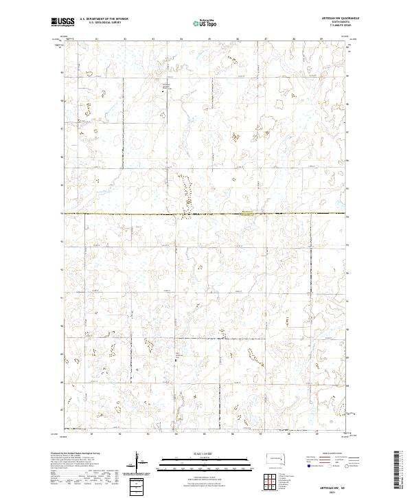 2021 Artesian NW2021 Print · USGSThe border of Beadle and Sanborn counties comes into focus in this recent survey of the South Dakota prairie. Genealogists and local historians can pinpoint long-standing community sites such as Immanuel Lutheran Church Cem and Saint Anthony's Cem.
 - 2021 Map of Artesian, 2021 Print
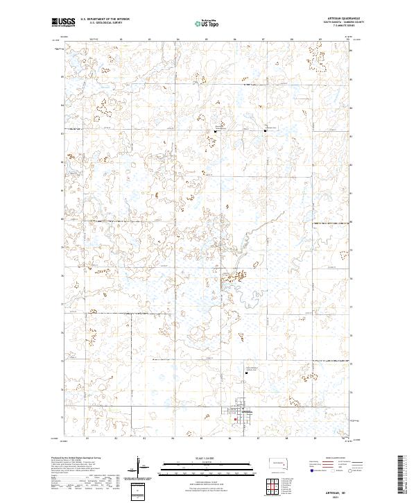 2021 Artesian2021 Print · USGSArtesian and the surrounding Sanborn County prairie are captured in this modern survey, showing the town's street grid and the rural landscape. Researchers can locate family heritage sites like Saint Anthony's Catholic Cem or trace the winding course of West Redstone Creek.
 - 2021 Map of Forestburg NE, 2021 Print
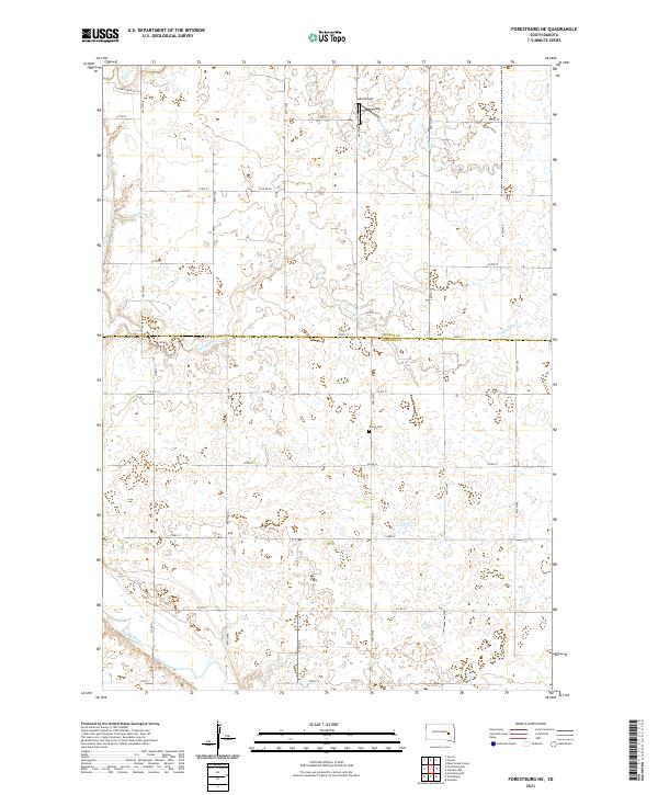 2021 Forestburg NE2021 Print · USGSSanborn and Beadle counties are mapped in the early 2020s, showing a traditional prairie landscape carved by the James River. Genealogists and local historians can locate the Bonny Cemetery and trace watercourses like Marsh Creek and Stony Run.
 - 2021 Map of Forestburg, 2021 Print
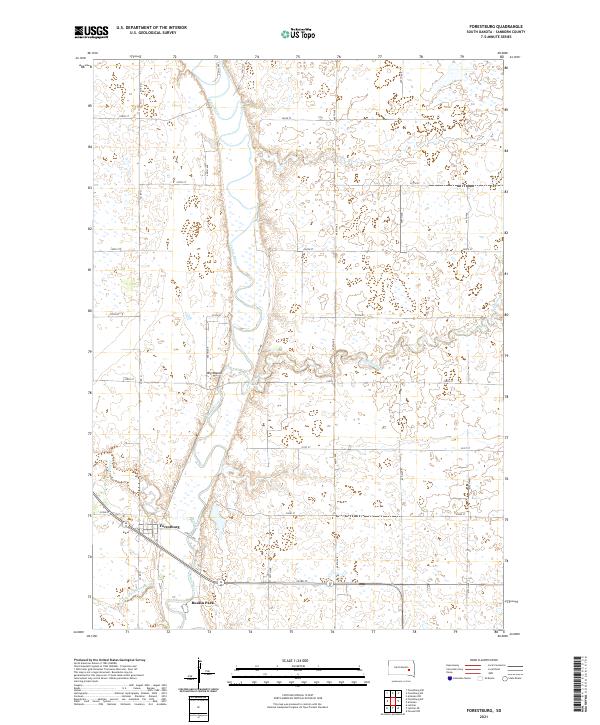 2021 Forestburg2021 Print · USGSSanborn County's rural heartland is depicted here in the early twenty-first century, centered on the river valley and its surrounding townships. Genealogists and local historians can trace family land near Forestburg, the riverside area of Ruskin Park, and the landmark of Big Mound.
End of results
Showing maps 1-4 of 4
Top cities near Floyd Township
- Huron historical maps
- Woonsocket historical maps
- Iroquois historical maps
- Artesian historical maps
- Cavour historical maps
Frequently asked questions
- What are the different types of historical maps available for Floyd Township?
- What is the oldest map of Floyd Township?
- Where can I purchase historical maps of Floyd Township for my home or office?
- Where can I download high-res historical maps of Floyd Township?
- Are there historical topographic maps available for Floyd Township?
- Is there historical aerial imagery available for Floyd Township?
- Where are historical maps of Floyd Township sourced from?