Old Maps of Harmony Township, South Dakota for Genealogy
Trace your family roots with 14 historic maps of Harmony Township. These high-res maps reveal old neighborhoods, homesites, landmarks, and streets — helping you uncover where your ancestors lived and how the area evolved over time.
- Explore historic neighborhoods: Identify where your relatives may have lived in the 1800s or 1900s.
- Compare maps over time: Trace the changes in streets, buildings, and landmarks for multi-generational research.
- Perfect for genealogy & ancestry research: Used by family historians and researchers to map out lineage and migration.
These maps are an incredible resource for exploring your personal connection to Harmony Township's past.
Harmony Township, SD maps
(14)- 1895 Map of Byron
 1895 Byron1895 Print · USGSEastern South Dakota was rapidly organizing into townships when this survey was conducted. You can trace the path of the Chicago and Northwestern R. R. through early settlements like Frankfort, Doland, and Ashton.4 unique versions available
 - 1953 Map of Frankfort, 1955 Print
 1953 Frankfort1955 Print · USGSSpink County agriculture and river-valley life are captured here in the early fifties. Genealogists and local historians can trace family roots at St Anne Cem, follow the Chicago and North Western rail line, or locate early schoolhouses like Witten Sch.
 - 1953 Map of Huron, 1959 Print
 1953 Huron1959 Print · USGSCentral South Dakota comes alive in the mid-1950s as a thriving rail and agricultural corridor between the Missouri and James Rivers. Trace the legacy of family farms and prairie towns like Huron, Faulkton, and Wessington Springs along the historic Chicago and North Western rail lines.3 unique versions available
 - 1954 Map of Huron, 1977 Print
 1954 Huron1977 Print · USGSCentral South Dakota was a landscape of grain elevators and river bends during the mid-fifties. Genealogists and historians can trace the development of the James River valley through railroad towns like Redfield and the sprawling Crow Creek Indian Reservation.
 - 1971 Map of Doland NW, 1974 Print
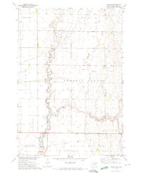 1971 Doland NW1974 Print · USGSSpink County agriculture and drainage patterns are on display here in the early 1970s. Genealogists and historians can trace the path of Timber Creek and locate the Old Railroad Grade as it passes through Belle Plaine.
 - 1985 Map of Redfield, 1986 Print
 1985 Redfield1986 Print · USGSSpink and Hand counties are captured here in the mid-1980s, revealing a landscape of rail-dependent prairie towns and extensive waterfowl conservation areas. Genealogists and historians can trace the Chicago and North Western rail lines through Redfield to outlying settlements like Tulare and Frankfort.
 - 2012 Map of Frankfort, 2012 Print
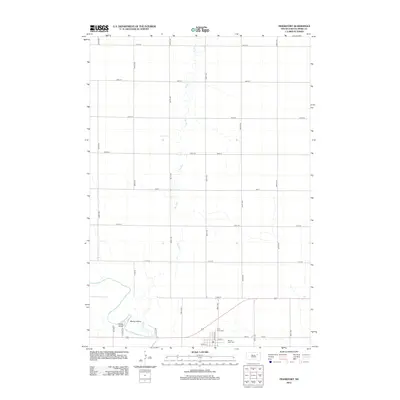 2012 Frankfort2012 Print · USGSSpink County’s prairie landscape and river bends are captured here in the early twenty-first century. Researchers can trace family history at Saint Anne Cem and Mount Hope Cem or explore the river terrain near Fisher Grove and Motley Island.
 - 2012 Map of Doland NW, 2012 Print
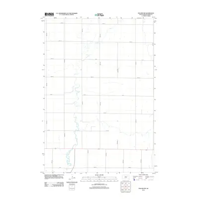 2012 Doland NW2012 Print · USGSSpink County in the early twenty-first century reveals a landscape defined by traditional section lines and prairie waterways. Trace the winding path of Timber Cr or locate family farmsteads along rural routes like 401st Ave and 167th St.
 - 2015 Map of Frankfort, 2015 Print
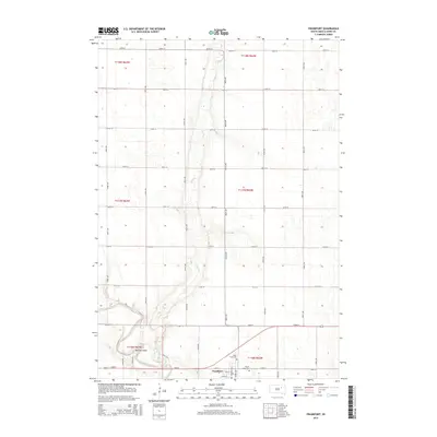 2015 Frankfort2015 Print · USGSSpink County agriculture and the riverfront town of Frankfort are documented here during the mid-2010s. Researchers can locate family plots at Saint Anne Cem or trace the winding course of the James River past Motley Island.
 - 2015 Map of Doland NW, 2015 Print
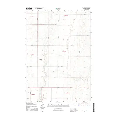 2015 Doland NW2015 Print · USGSSpink County is shown in its modern agricultural state during the mid-2010s, defined by the organized grid of the Public Land Survey System. Researchers can trace the layout of Camrose Colony and the natural drainage of Timber Cr through the local township sections.
 - 2017 Map of Doland NW, 2017 Print
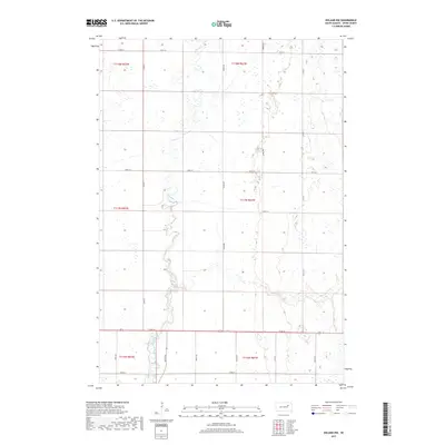 2017 Doland NW2017 Print · USGSSpink County's rural landscape is defined by the winding course of Timber Creek in the late twenty-teens. Genealogists and local historians can trace the intersection of old section lines and watercourses like Timber Cr along 172nd St and Co Rd 14.
 - 2017 Map of Frankfort, 2017 Print
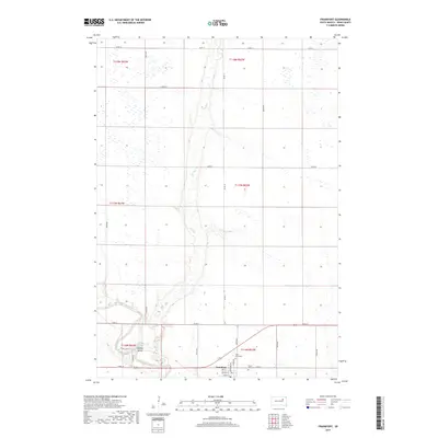 2017 Frankfort2017 Print · USGSFrankfort and the surrounding Spink County plains are captured in this recent survey of the James River valley. Researchers can locate family plots at Mount Hope Cem or trace the river's path past Fisher Grove A and Motley Island.
 - 2021 Map of Frankfort, 2021 Print
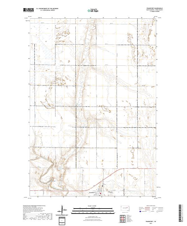 2021 Frankfort2021 Print · USGSThe Spink County prairie near the James River appears here in its modern agricultural form. Researchers can trace the townsite of Frankfort and locate local burial grounds including Saint Anne Cem and Mount Hope Cem.
 - 2021 Map of Doland NW, 2021 Print
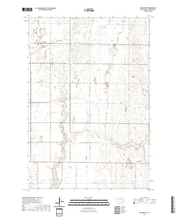 2021 Doland NW2021 Print · USGSSpink County's agricultural heartland is documented here in the early twenty-first century, showing a landscape defined by section-line roads and prairie hydrology. Researchers can trace the winding course of Timber Creek and locate rural properties along Co Rd 7 and 165th St.
End of results
Showing maps 1-14 of 14
Top cities near Harmony Township
- Redfield historical maps
- Doland historical maps
- Mellette historical maps
- Tulare historical maps
- Conde historical maps
- Frankfort historical maps
See more
Frequently asked questions
- What are the different types of historical maps available for Harmony Township?
- What is the oldest map of Harmony Township?
- Where can I purchase historical maps of Harmony Township for my home or office?
- Where can I download high-res historical maps of Harmony Township?
- Are there historical topographic maps available for Harmony Township?
- Is there historical aerial imagery available for Harmony Township?
- Where are historical maps of Harmony Township sourced from?