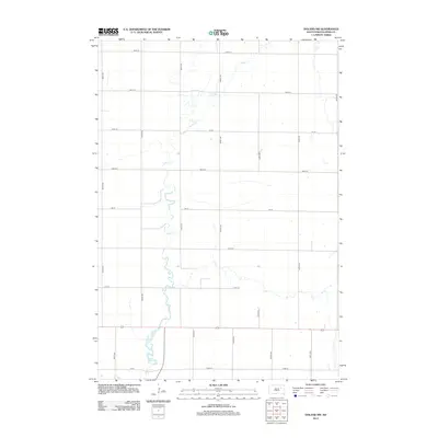
2012 Map of Doland NW
USGS Topo · Published 2012About this map
Timber Cr meanders from north to south across this section of Spink County, defining the drainage patterns of a landscape marked by a strict section-line grid. This 2012 survey illustrates the agricultural character of the region, where a network of gravel and paved roads, such as 399th Ave and 167th St, provides access to rural farmsteads. The southern portion of the area is intersected by Highway 212, a primary east-west corridor that connects this remote prairie land to larger regional centers. The map depicts a territory where the natural winding course of the creek contrasts sharply with the mathematical precision of the human-imposed grid of avenues and streets, including 401st Ave and 173rd St.
Find a feature on this map
19 named features on this map. Tap any name to fly to it.
Don’t see what you’re looking for? This feature index may not catch every label — zoom into the map to look around manually.
Map Details
Editions of this 2012 Doland NW Map
This is the sole edition of this map. No revisions or reprints were ever made.
Other maps of this area

1894 · Conde
USGS Topo · 1:62,500

1895 · Byron
USGS Topo · 1:125,000

1895 · Aberdeen
USGS Topo · 1:125,000

1953 · Frankfort
USGS Topo · 1:24,000

1953 · Huron
USGS Topo · 1:250,000

1954 · Aberdeen
USGS Topo · 1:250,000

1954 · Huron
USGS Topo · 1:250,000

1956 · Aberdeen
USGS Topo · 1:250,000

1956 · Glendale Colony
USGS Topo · 1:24,000

1956 · Doland SW
USGS Topo · 1:24,000
Featured Places
- Harmony Township, SD
- Prairie Center Township, SD
- Sumner Township, SD
- Belle Plaine Township, SD
- Clifton Township, SD