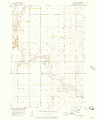
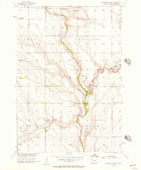
1956 Map of Doland SW
USGS Topo · Published 1957About this map
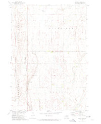
Belle Plaine and Harrison townships define the open prairie landscape of Spink County as it was documented in the mid-1950s. This survey was conducted as part of the Department of the Interior's Missouri River Basin development program, illustrating the rural infrastructure that supported agricultural life during this era. The map reveals a network of country schoolhouses and small community markers, including Lawrence Sch and Happy Hollow Sch, which served as local anchors for farm families across the plains.
Find a feature on this map
10 named features on this map. Tap any name to fly to it.
Don’t see what you’re looking for? This feature index may not catch every label — zoom into the map to look around manually.
Map Details
Editions of this 1956 Doland SW Map
2 editions found
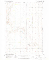
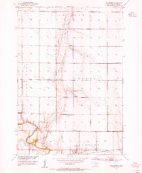
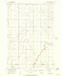
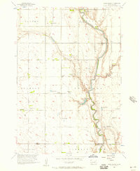
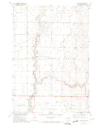
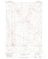
Other maps of this area

1895 · Byron
USGS Topo · 1:125,000
1953 · Frankfort
USGS Topo · 1:24,000

1953 · Huron
USGS Topo · 1:250,000

1954 · Huron
USGS Topo · 1:250,000
1956 · Lake Byron NW
USGS Topo · 1:24,000
1956 · Glendale Colony
USGS Topo · 1:24,000
1956 · Spink Colony
USGS Topo · 1:24,000
1971 · Doland NW
USGS Topo · 1:24,000
1971 · Doland
USGS Topo · 1:24,000
1971 · Doland SE
USGS Topo · 1:24,000
Featured Places
- Frankfort Township, SD
- Harrison Township, SD
- Lincoln Township, SD
- Belle Plaine Township, SD
- Spink County, SD