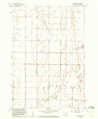
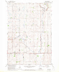
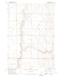
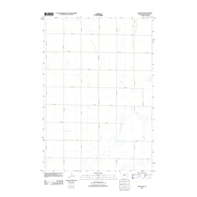
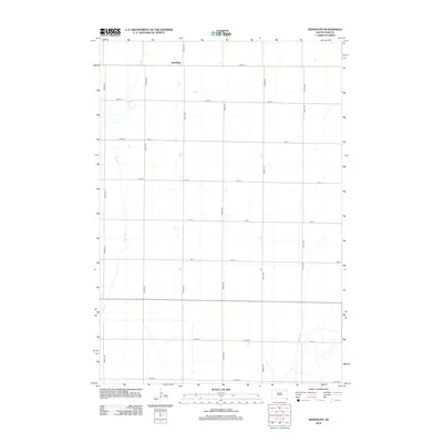
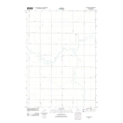
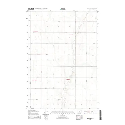
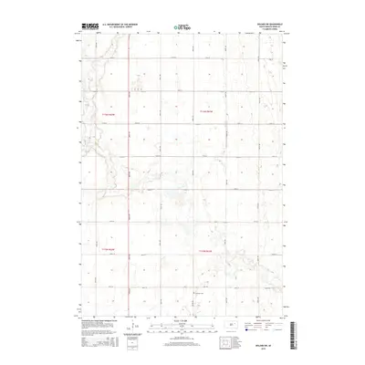
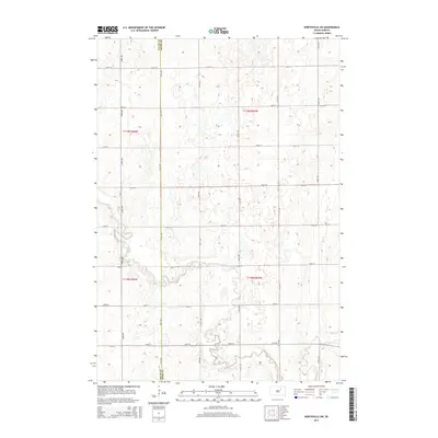
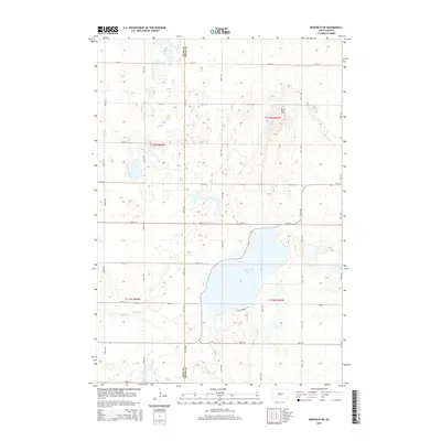
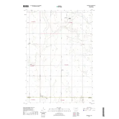
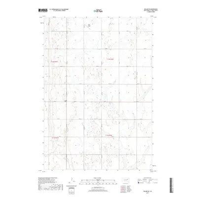
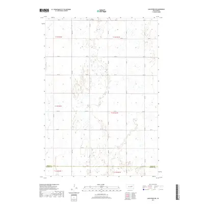
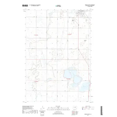
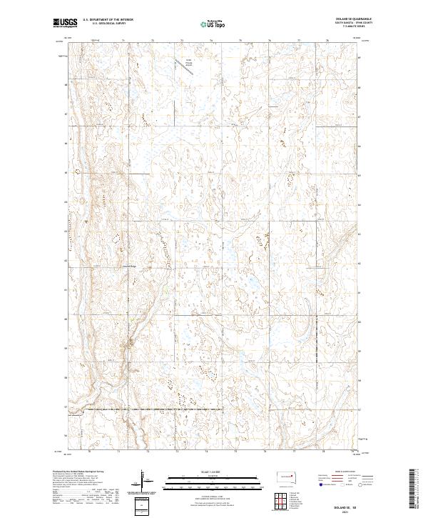
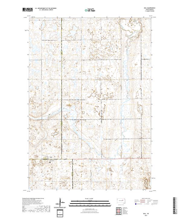
1971 Map of Doland SE
USGS Topo · Published 1974About this map
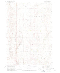
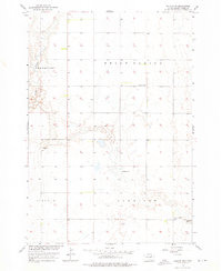
The sprawling prairie landscapes of Spink County are defined here by subtle topographic rises like Doland Ridge and the broad flats of Belle Plaine. This 1971 survey captures a rural environment organized into distinct townships including Richfield, Capitola, and Harrison. Water is a scarce and notable element on this high-plains terrain, centered primarily on the irregular basin of Mirage Lake in the southwestern portion of the quadrangle.
Find a feature on this map
10 named features on this map. Tap any name to fly to it.
Don’t see what you’re looking for? This feature index may not catch every label — zoom into the map to look around manually.
Map Details
Editions of this 1971 Doland SE Map
This is the sole edition of this map. No revisions or reprints were ever made.
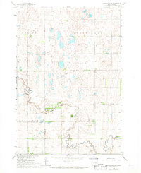
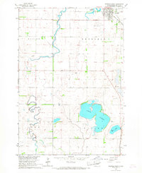
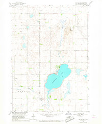
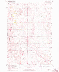
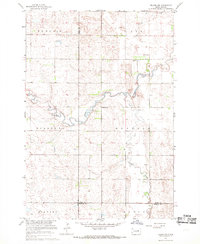
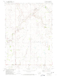
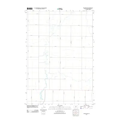
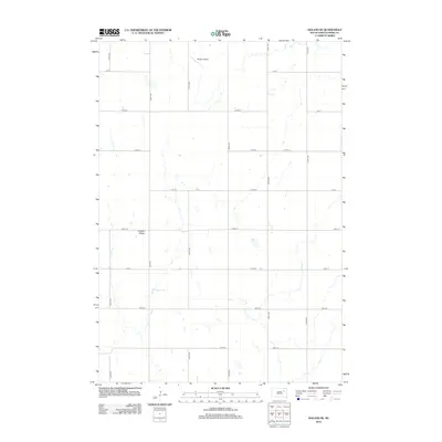
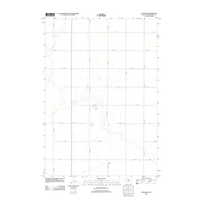
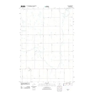
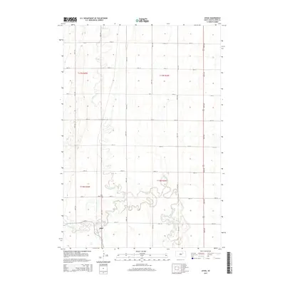
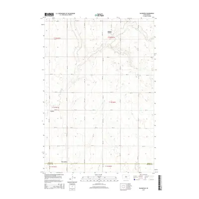
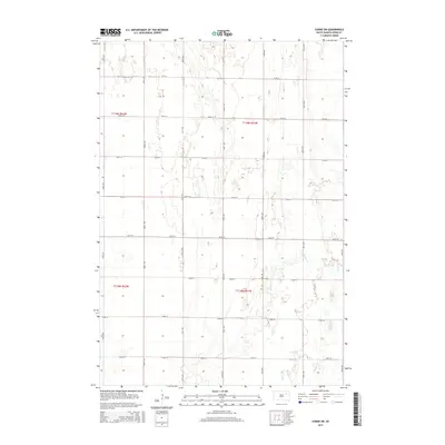
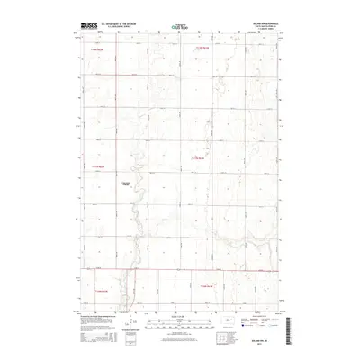
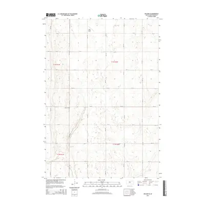
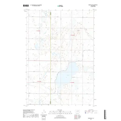
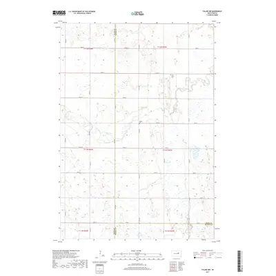
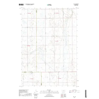
Historical Maps of Capitola Township Through Time
86 maps found
1895 Byron
Spink County, SD
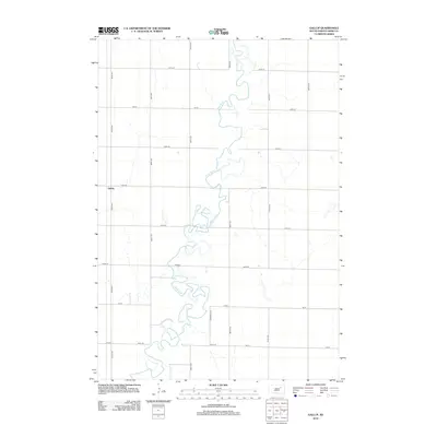
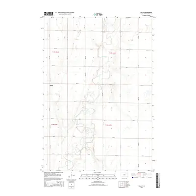
1953 Gallup
Spink County, SD
1953 Redfield North
Spink County, SD
1956 Doland SW
Spink County, SD
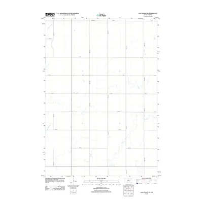
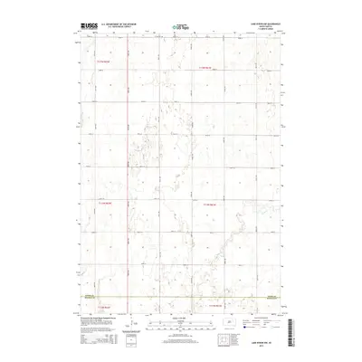
1956 Lake Byron NW
Spink County, SD
1958 Randolph
Spink County, SD

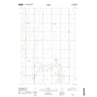
1960 Athol
Spink County, SD
1960 Brentford SE
Spink County, SD
1960 Conde SW
Spink County, SD
1966 Northville SW
Spink County, SD
1966 Redfield South
Spink County, SD
1966 Redfield SW
Spink County, SD
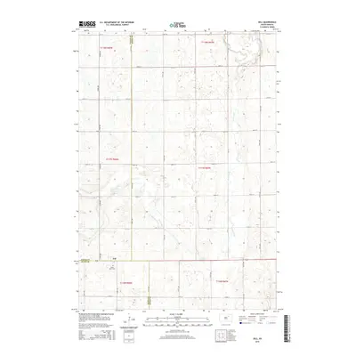
1966 Zell
Spink County, SD
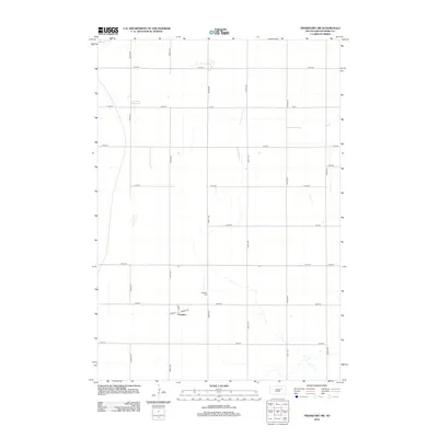
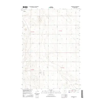
1967 Frankfort SW
Spink County, SD
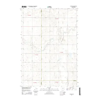
1967 Tulare NW
Spink County, SD
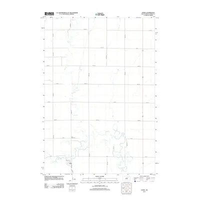
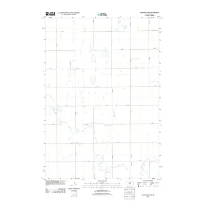
1971 Bloomfield
Spink County, SD
1971 Doland NW
Spink County, SD
1971 Doland SE
Spink County, SD
2012 Athol
Spink County, SD
2012 Bloomfield
Spink County, SD
2012 Brentford SE
Spink County, SD
2012 Conde SW
Spink County, SD
2012 Doland NW
Spink County, SD
2012 Doland SE
Spink County, SD
2012 Doland SW
Spink County, SD
2012 Frankfort SW
Spink County, SD
2012 Gallup
Spink County, SD
2012 Lake Byron NW
Spink County, SD
2012 Northville SW
Spink County, SD
2012 Randolph
Spink County, SD
2012 Redfield North
Spink County, SD
2012 Redfield South
Spink County, SD
2012 Redfield SW
Spink County, SD
2012 Tulare NW
Spink County, SD
2012 Zell
Spink County, SD
2015 Athol
Spink County, SD
2015 Bloomfield
Spink County, SD
2015 Brentford SE
Spink County, SD
2015 Conde SW
Spink County, SD
2015 Doland NW
Spink County, SD
2015 Doland SE
Spink County, SD
2015 Doland SW
Spink County, SD
2015 Frankfort SW
Spink County, SD
2015 Gallup
Spink County, SD
2015 Lake Byron NW
Spink County, SD
2015 Northville SW
Spink County, SD
2015 Randolph
Spink County, SD
2015 Redfield North
Spink County, SD
2015 Redfield South
Spink County, SD
2015 Redfield SW
Spink County, SD
2015 Tulare NW
Spink County, SD
2015 Zell
Spink County, SD
2017 Athol
Spink County, SD
2017 Bloomfield
Spink County, SD
2017 Brentford SE
Spink County, SD
2017 Conde SW
Spink County, SD
2017 Doland NW
Spink County, SD
2017 Doland SE
Spink County, SD
2017 Doland SW
Spink County, SD
2017 Frankfort SW
Spink County, SD
2017 Gallup
Spink County, SD
2017 Lake Byron NW
Spink County, SD
2017 Northville SW
Spink County, SD
2017 Randolph
Spink County, SD
2017 Redfield North
Spink County, SD
2017 Redfield South
Spink County, SD
2017 Redfield SW
Spink County, SD
2017 Tulare NW
Spink County, SD
2017 Zell
Spink County, SD
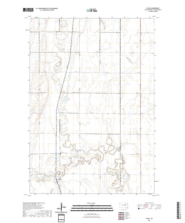
2021 Athol
Spink County, SD
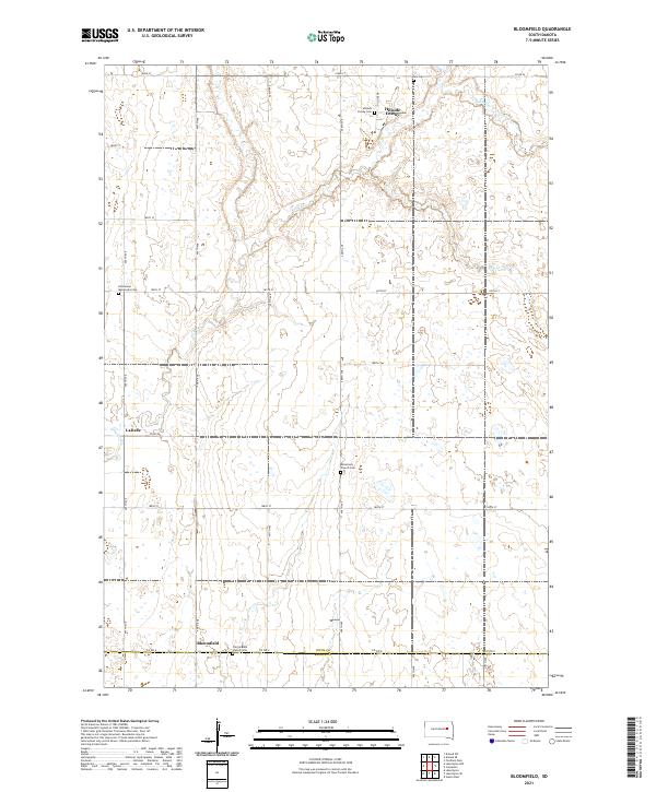
2021 Bloomfield
Spink County, SD
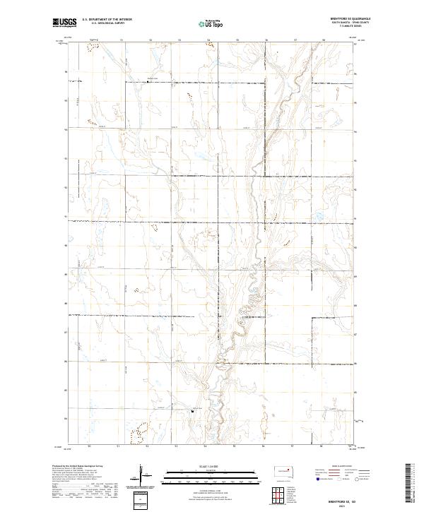
2021 Brentford SE
Spink County, SD
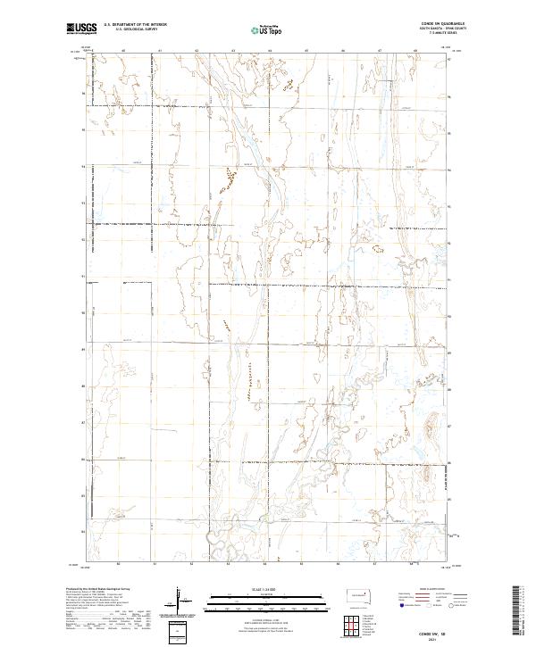
2021 Conde SW
Spink County, SD
2021 Doland NW
Spink County, SD
2021 Doland SE
Spink County, SD
2021 Doland SW
Spink County, SD
2021 Frankfort SW
Spink County, SD
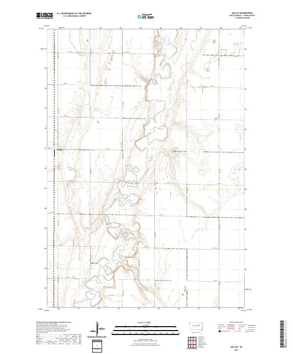
2021 Gallup
Spink County, SD
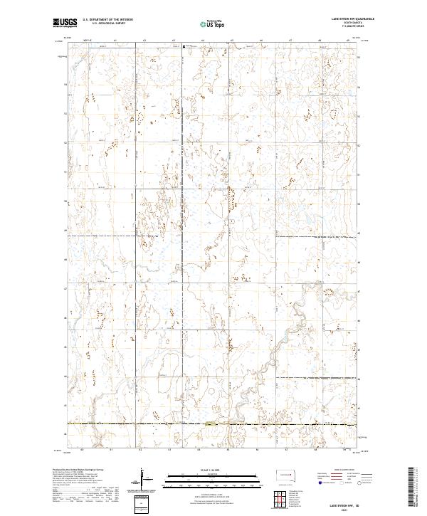
2021 Lake Byron NW
Spink County, SD
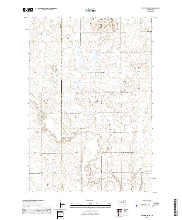
2021 Northville SW
Spink County, SD
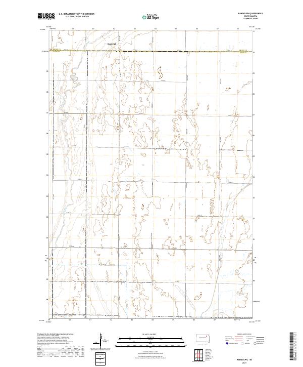
2021 Randolph
Spink County, SD
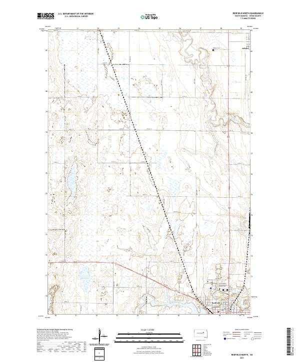
2021 Redfield North
Spink County, SD
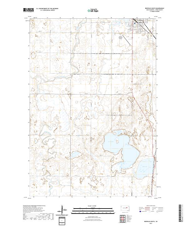
2021 Redfield South
Spink County, SD
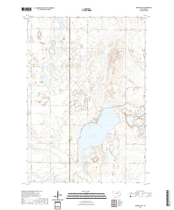
2021 Redfield SW
Spink County, SD
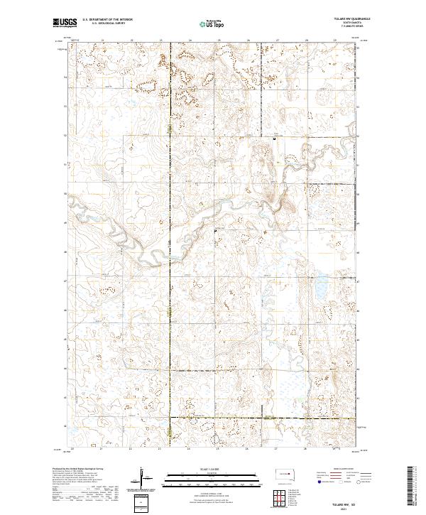
2021 Tulare NW
Spink County, SD
2021 Zell
Spink County, SD
Featured Locations
- Spink County, SD
- Belle Plaine Township, SD
- Harrison Township, SD
- Capitola Township, SD
- Richfield Township, SD