Old Maps of Mellette Township, South Dakota for Genealogy
Trace your family roots with 25 historic maps of Mellette Township. These high-res maps reveal old neighborhoods, homesites, landmarks, and streets — helping you uncover where your ancestors lived and how the area evolved over time.
- Explore historic neighborhoods: Identify where your relatives may have lived in the 1800s or 1900s.
- Compare maps over time: Trace the changes in streets, buildings, and landmarks for multi-generational research.
- Perfect for genealogy & ancestry research: Used by family historians and researchers to map out lineage and migration.
These maps are an incredible resource for exploring your personal connection to Mellette Township's past.
Mellette Township, SD maps
(25)- 1895 Map of Aberdeen
 1895 Aberdeen1895 Print · USGSNortheastern South Dakota was rapidly evolving in the 1890s as a vital railroad corridor through the James River Valley. Local historians and genealogists can trace the early layout of rail-side towns like Warner, Groton, and the burgeoning hub of Aberdeen.4 unique versions available
 - 1899 Map of Northville
 1899 Northville1899 Print · USGSNortheastern South Dakota in the 1890s was a landscape defined by the expansion of the rails and the settlement of the prairie. You can trace the path of the Chicago and Northwestern RR through early townsites like Northville and Rudolph.2 unique versions available
 - 1953 Map of Gallup, 1955 Print
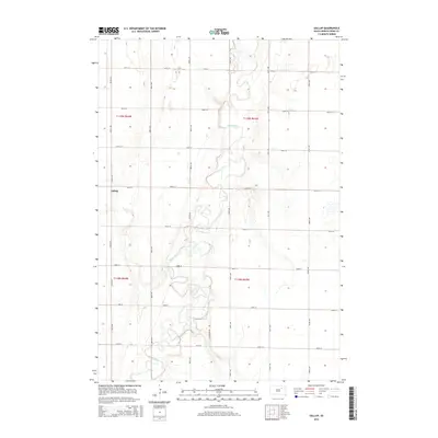
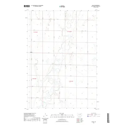
 1953 Gallup1955 Print · USGSSpink County in the mid-fifties remains a landscape of river-bend farms and rural school districts. Researchers can trace the path of the Milwaukee Road railroad and locate local landmarks like Gallup Sch or the Flowing Well.
 - 1954 Map of Mellette, 1955 Print
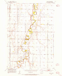
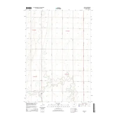
 1954 Mellette1955 Print · USGSThe Spink County prairies are captured here in the mid-1950s as the rural landscape underwent significant social changes. Researchers can trace the meandering James River and locate several community sites like Armadale Park and the Dunker Sch.
 - 1954 Map of Aberdeen, 1964 Print
 1954 Aberdeen1964 Print · USGSNortheastern South Dakota in the mid-fifties remains a world of rail-dependent prairie towns and sweeping waterfowl refuges. Genealogists can trace family roots through settlements like Eureka and Ipswich or locate rural landmarks near Richmond Lake.2 unique versions available
 - 1956 Map of Aberdeen
 1956 Aberdeen1956 Print · USGSUpper South Dakota during the mid-fifties remains a landscape of rail-connected farming towns and expansive glacial lake basins. Genealogists and historians can trace the paths of the Minneapolis and St Louis railroad through Gettysburg or locate vanished stops near Elm Lake and Richmond Lake.
 - 1960 Map of Northville, 1961 Print
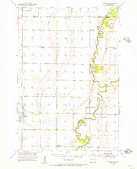
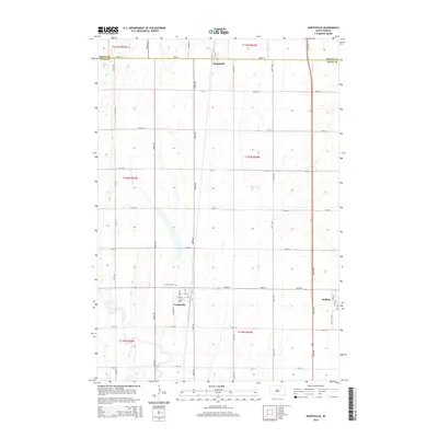
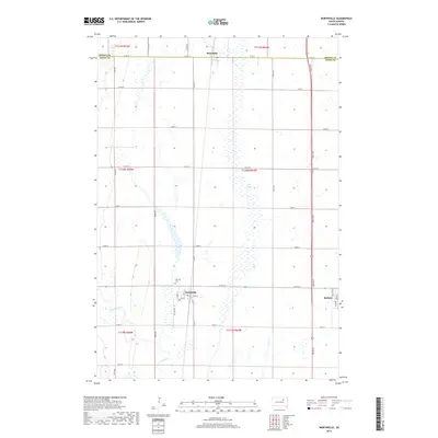
 1960 Northville1961 Print · USGSThe Spink County prairie in the early sixties was defined by rail-centered trade and vast section-line farmsteads. Researchers can trace the Chicago and North Western line through Northville and Mellette, or locate family sites near Fairview Cem.
 - 1960 Map of Athol, 1962 Print
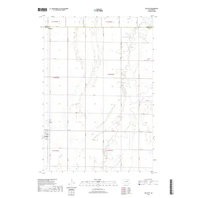
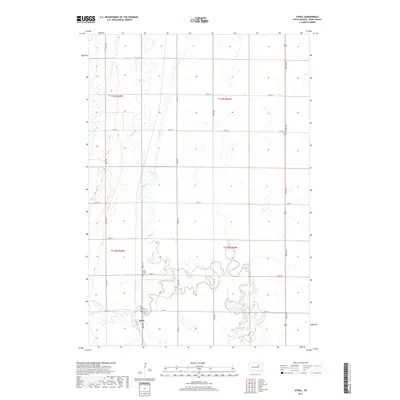
 1960 Athol1962 Print · USGSSpink County agriculture and rail life are centered here in the early sixties, as the prairie landscape borders the winding Snake Creek. Genealogists and local historians can trace the Chicago and North Western rail line and locate St Marys Cem and the settlement of Athol.
 - 1985 Map of Aberdeen
 1985 Aberdeen1985 Print · USGSThe James River valley of South Dakota is seen here in the mid-eighties, centered on the growing hub of Aberdeen. Genealogists and historians can trace the rail corridors of the Chicago and North Western or find rural landmarks like Bath Corner and South Scatterwood Lake.2 unique versions available
 - 2012 Map of Athol, 2012 Print
 2012 Athol2012 Print · USGSCovers Mellette Township, including Athol, Northville Township, and other nearby areas
 - 2012 Map of Mellette, 2012 Print
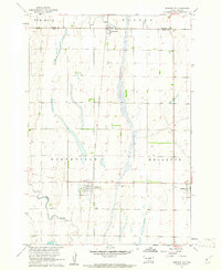
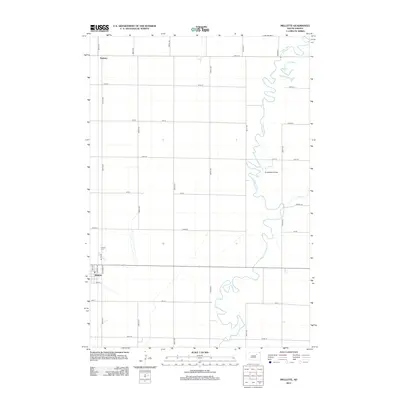 2012 Mellette2012 Print · USGSCovers Mellette Township, including Mellette, Tetonka Township, and other nearby areas
 - 2012 Map of Northville, 2012 Print
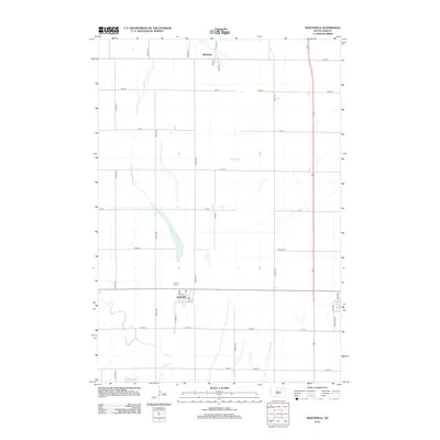 2012 Northville2012 Print · USGSCovers Mellette Township, including Mellette, Northville, and other nearby areas
 - 2012 Map of Gallup, 2012 Print
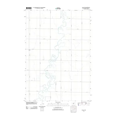 2012 Gallup2012 Print · USGSCovers Mellette Township, including Tetonka Township, Jefferson Township, and other nearby areas
 - 2015 Map of Mellette, 2015 Print
 2015 Mellette2015 Print · USGSCovers Mellette Township, including Mellette, Tetonka Township, and other nearby areas
 - 2015 Map of Athol, 2015 Print
 2015 Athol2015 Print · USGSCovers Mellette Township, including Athol, Northville Township, and other nearby areas
 - 2015 Map of Gallup, 2015 Print
 2015 Gallup2015 Print · USGSCovers Mellette Township, including Tetonka Township, Jefferson Township, and other nearby areas
 - 2015 Map of Northville, 2015 Print
 2015 Northville2015 Print · USGSCovers Mellette Township, including Mellette, Northville, and other nearby areas
 - 2017 Map of Mellette, 2017 Print
 2017 Mellette2017 Print · USGSCovers Mellette Township, including Mellette, Tetonka Township, and other nearby areas
 - 2017 Map of Athol, 2017 Print
 2017 Athol2017 Print · USGSCovers Mellette Township, including Athol, Northville Township, and other nearby areas
 - 2017 Map of Northville, 2017 Print
 2017 Northville2017 Print · USGSCovers Mellette Township, including Mellette, Northville, and other nearby areas
 - 2017 Map of Gallup, 2017 Print
 2017 Gallup2017 Print · USGSCovers Mellette Township, including Tetonka Township, Jefferson Township, and other nearby areas
 - 2021 Map of Mellette, 2021 Print
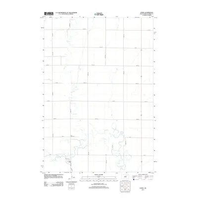
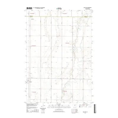
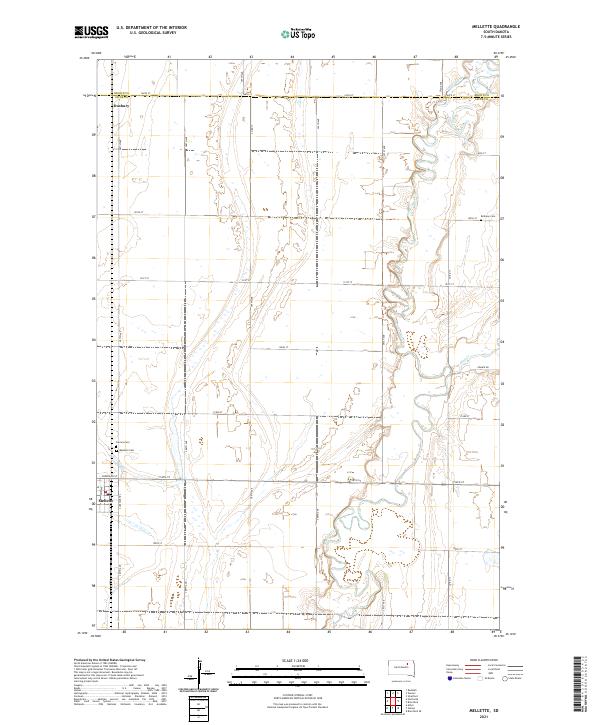 2021 Mellette2021 Print · USGSSpink County agriculture and the winding James River valley define this South Dakota landscape in the early 2020s. Genealogists and researchers can locate the town of Mellette, the smaller Duxbury, and local landmarks like Bethany Cem and Calvary Cem.
 - 2021 Map of Gallup, 2021 Print
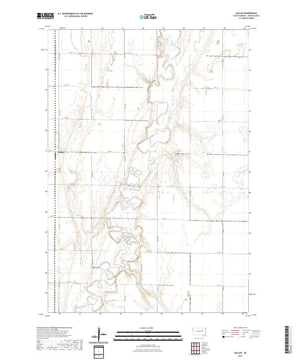 2021 Gallup2021 Print · USGSThe glacial plains of Spink County are captured here in the early twenty-first century, centered on the winding James River. Genealogists and local historians can locate the settlement of Gallup and trace property boundaries across townships like T119N R64W.
 - 2021 Map of Athol, 2021 Print
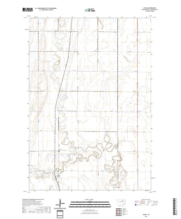 2021 Athol2021 Print · USGSThe rural landscape of Spink County is captured here in the early twenty-first century, centered on the small community of Athol. Genealogists and local historians can locate Saint Mary's Cem and Athol Cem along the winding banks of Snake Creek.
 - 2021 Map of Northville, 2021 Print
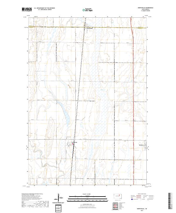 2021 Northville2021 Print · USGSSpink County agriculture and small-town life are preserved here during the early twenty-first century. Genealogists and local historians can trace the grid-work of the prairie from Northville and Mansfield to the Fairview Cem and the waters of Snake Creek.
End of results
Showing maps 1-25 of 25
Top cities near Mellette Township
- Warner historical maps
- Mellette historical maps
- Ashton historical maps
- Northville historical maps
- Stratford historical maps
- Athol historical maps
See more
Top neighborhoods of Mellette Township
Frequently asked questions
- What are the different types of historical maps available for Mellette Township?
- What is the oldest map of Mellette Township?
- Where can I purchase historical maps of Mellette Township for my home or office?
- Where can I download high-res historical maps of Mellette Township?
- Are there historical topographic maps available for Mellette Township?
- Is there historical aerial imagery available for Mellette Township?
- Where are historical maps of Mellette Township sourced from?