2021 Map of Mellette
USGS Topo · Published 2021About this map
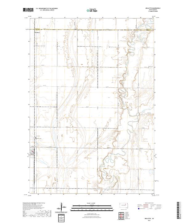
Mellette serves as the primary hub for this section of the Glacial Lake Dakota plain, where the flat agricultural expanse is dramatically broken by the winding channel of the James River. The river's serpentine path meanders through the eastern half of the township, creating a complex corridor of wetlands and oxbows contrast with the rigid section-line grid of the surrounding prairie. To the north, the small settlement of Duxbury sits near the county line, while the local history of the region is anchored by three distinct burial grounds: Mellette Cem, Calvary Cem, and Bethany Cem. The landscape is further defined by the convergence of Mud Cr with the main river, illustrating the drainage patterns essential to the area's farming economy. The map preserves the specific locations of long-established section roads like Sunshine Trl and Prairie Rd, which facilitate transport across the rich Spink County soil.
Find a feature on this map
34 named features on this map. Tap any name to fly to it.
Don’t see what you’re looking for? This feature index may not catch every label — zoom into the map to look around manually.
Map Details
Editions of this 2021 Mellette Map
This is the sole edition of this map. No revisions or reprints were ever made.
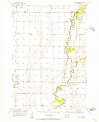
Historical Maps of Mellette Township Through Time
Featured Locations
- Warner Township, SD
- West Rondell Township, SD
- La Prairie Township, SD
- Tetonka Township, SD
- Mellette, Mellette Township