2021 Map of Northville
USGS Topo · Published 2021About this map
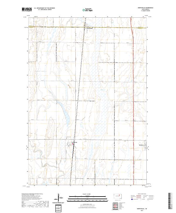
Northville sits at the intersection of a sprawling rural grid, serving as a focal point for this section of Spink County. The landscape is defined by the subtle drainage patterns of Snake Creek and its southern branch, Snake Cr, which wind through the prairie terrain. To the north, the small settlement of Mansfield straddles the border of Brown and Spink counties along 148th St. The mapping of this area reveals the high density of depressional wetlands and ephemeral water bodies characteristic of the region, most notably the wide drainage of Big Slough east of the central corridor. Local history is anchored by the Fairview Cem located just north of Northville, while the community of Mellette marks the eastern edge of the quadrangle. The network of section-line roads, such as Co Rd 17 and 386th Ave, underscores the enduring importance of agricultural transit in this part of the Dakotas.
Find a feature on this map
38 named features on this map. Tap any name to fly to it.
Don’t see what you’re looking for? This feature index may not catch every label — zoom into the map to look around manually.
Map Details
Editions of this 2021 Northville Map
This is the sole edition of this map. No revisions or reprints were ever made.
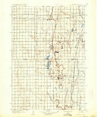
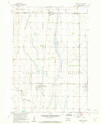
Historical Maps of Mellette Township Through Time
3 maps found
Featured Locations
- New Hope Township, SD
- Warner Township, SD
- Northville Township, SD
- Mellette, Mellette Township
- Northville, Northville Township