Old Maps of Northville Township, South Dakota for Metal Detecting
Plan your next treasure hunt with 24 historic maps of Northville Township. Find old homesites, ghost towns, trails, and gathering spots that may be lost to time — perfect for identifying promising metal detecting locations.
- Locate forgotten sites: Uncover places like long-lost settlements, abandoned rail lines, or gathering spots.
- Plan better hunts: Use map overlays combined with LiDAR or satellite views to narrow in on historically rich areas.
- Made for detectorists: Thousands of hobbyists use these maps to discover relics, coins, and hidden history.
Use these historic maps to boost your research and find new opportunities beneath the surface of Northville Township.
Northville Township, SD maps
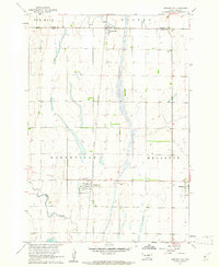
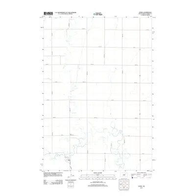
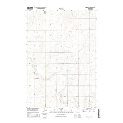
(24)- 1899 Map of Northville
 1899 Northville1899 Print · USGSNortheastern South Dakota in the 1890s was a landscape defined by the expansion of the rails and the settlement of the prairie. You can trace the path of the Chicago and Northwestern RR through early townsites like Northville and Rudolph.2 unique versions available
 - 1954 Map of Aberdeen, 1964 Print
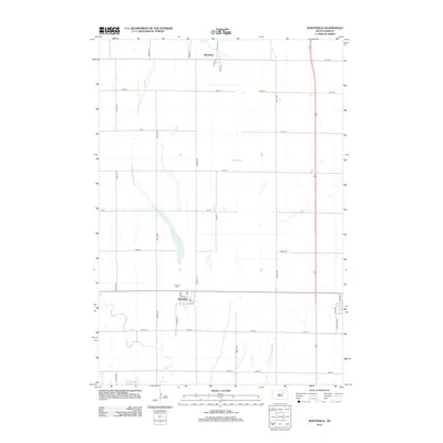
 1954 Aberdeen1964 Print · USGSNortheastern South Dakota in the mid-fifties remains a world of rail-dependent prairie towns and sweeping waterfowl refuges. Genealogists can trace family roots through settlements like Eureka and Ipswich or locate rural landmarks near Richmond Lake.2 unique versions available
 - 1956 Map of Aberdeen
 1956 Aberdeen1956 Print · USGSUpper South Dakota during the mid-fifties remains a landscape of rail-connected farming towns and expansive glacial lake basins. Genealogists and historians can trace the paths of the Minneapolis and St Louis railroad through Gettysburg or locate vanished stops near Elm Lake and Richmond Lake.
 - 1960 Map of Northville, 1961 Print
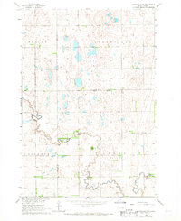
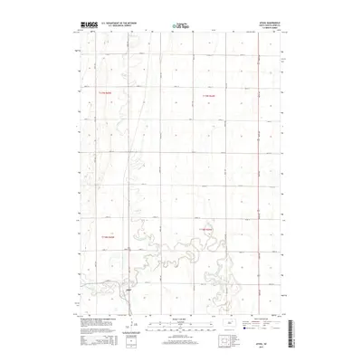
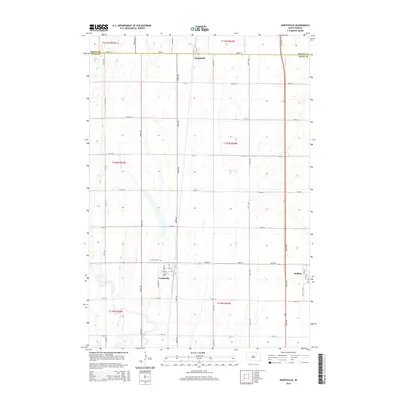
 1960 Northville1961 Print · USGSThe Spink County prairie in the early sixties was defined by rail-centered trade and vast section-line farmsteads. Researchers can trace the Chicago and North Western line through Northville and Mellette, or locate family sites near Fairview Cem.
 - 1960 Map of Athol, 1962 Print
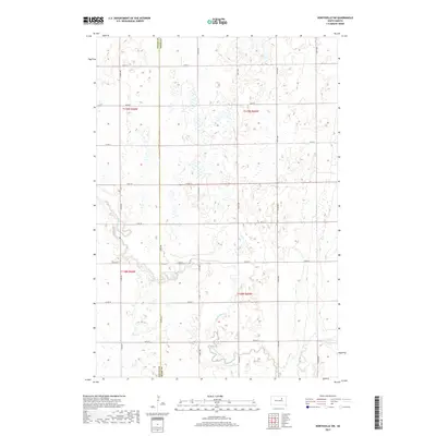
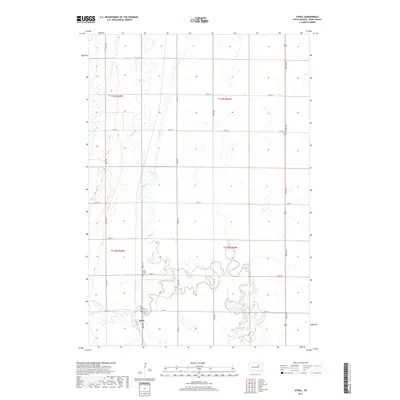
 1960 Athol1962 Print · USGSSpink County agriculture and rail life are centered here in the early sixties, as the prairie landscape borders the winding Snake Creek. Genealogists and local historians can trace the Chicago and North Western rail line and locate St Marys Cem and the settlement of Athol.
 - 1966 Map of Northville SW, 1967 Print
 1966 Northville SW1967 Print · USGSThe prairie landscape along the border of Spink and Faulk counties is captured here in the mid-1960s. Researchers can locate the Grange Hall, trace the meanders of South Fork Snake Creek, and identify small-scale industrial Gravel Pits in the Athol and Wesley districts.
 - 1966 Map of Chelsea, 1967 Print
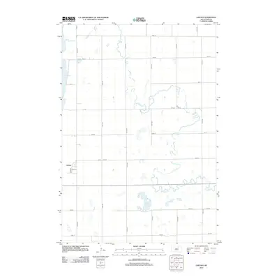
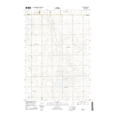
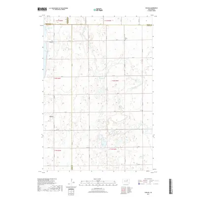
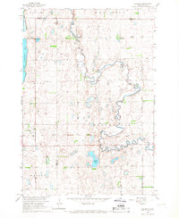 1966 Chelsea1967 Print · USGSThe prairie landscape at the borders of Faulk and Spink counties is documented here in the mid-1960s. Genealogists and researchers can locate the Chelsea settlement, several Cem sites, and the path of an Old Railroad Grade.
 - 1985 Map of Aberdeen
 1985 Aberdeen1985 Print · USGSThe James River valley of South Dakota is seen here in the mid-eighties, centered on the growing hub of Aberdeen. Genealogists and historians can trace the rail corridors of the Chicago and North Western or find rural landmarks like Bath Corner and South Scatterwood Lake.2 unique versions available
 - 2012 Map of Northville SW, 2012 Print
 2012 Northville SW2012 Print · USGSCovers Northville Township, including Athol Township, Spink County, and other nearby areas
 - 2012 Map of Athol, 2012 Print
 2012 Athol2012 Print · USGSCovers Northville Township, including Athol, Mellette Township, and other nearby areas
 - 2012 Map of Northville, 2012 Print
 2012 Northville2012 Print · USGSCovers Northville Township, including Mellette, Northville, and other nearby areas
 - 2012 Map of Chelsea, 2012 Print
 2012 Chelsea2012 Print · USGSCovers Northville Township, including Chelsea, New Hope Township, and other nearby areas
 - 2015 Map of Athol, 2015 Print
 2015 Athol2015 Print · USGSCovers Northville Township, including Athol, Mellette Township, and other nearby areas
 - 2015 Map of Northville SW, 2015 Print
 2015 Northville SW2015 Print · USGSCovers Northville Township, including Athol Township, Spink County, and other nearby areas
 - 2015 Map of Northville, 2015 Print
 2015 Northville2015 Print · USGSCovers Northville Township, including Mellette, Northville, and other nearby areas
 - 2015 Map of Chelsea, 2015 Print
 2015 Chelsea2015 Print · USGSCovers Northville Township, including Chelsea, New Hope Township, and other nearby areas
 - 2017 Map of Northville SW, 2017 Print
 2017 Northville SW2017 Print · USGSCovers Northville Township, including Athol Township, Spink County, and other nearby areas
 - 2017 Map of Athol, 2017 Print
 2017 Athol2017 Print · USGSCovers Northville Township, including Athol, Mellette Township, and other nearby areas
 - 2017 Map of Northville, 2017 Print
 2017 Northville2017 Print · USGSCovers Northville Township, including Mellette, Northville, and other nearby areas
 - 2017 Map of Chelsea, 2017 Print
 2017 Chelsea2017 Print · USGSCovers Northville Township, including Chelsea, New Hope Township, and other nearby areas
 - 2021 Map of Athol, 2021 Print
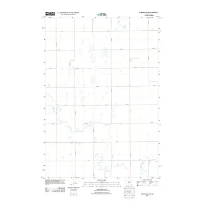
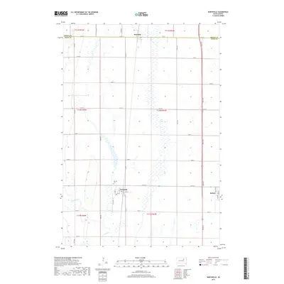
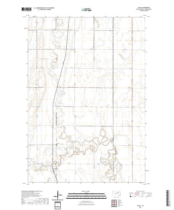 2021 Athol2021 Print · USGSThe rural landscape of Spink County is captured here in the early twenty-first century, centered on the small community of Athol. Genealogists and local historians can locate Saint Mary's Cem and Athol Cem along the winding banks of Snake Creek.
 - 2021 Map of Chelsea, 2021 Print
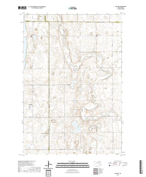 2021 Chelsea2021 Print · USGSThe crossroads community of Chelsea and the surrounding prairie are captured here in the early 2020s. Genealogists and local historians can trace burial sites at Scatterwood Lakeside Cem and Trinity Lutheran Cem or follow the winding course of Snake Creek.
 - 2021 Map of Northville SW, 2021 Print
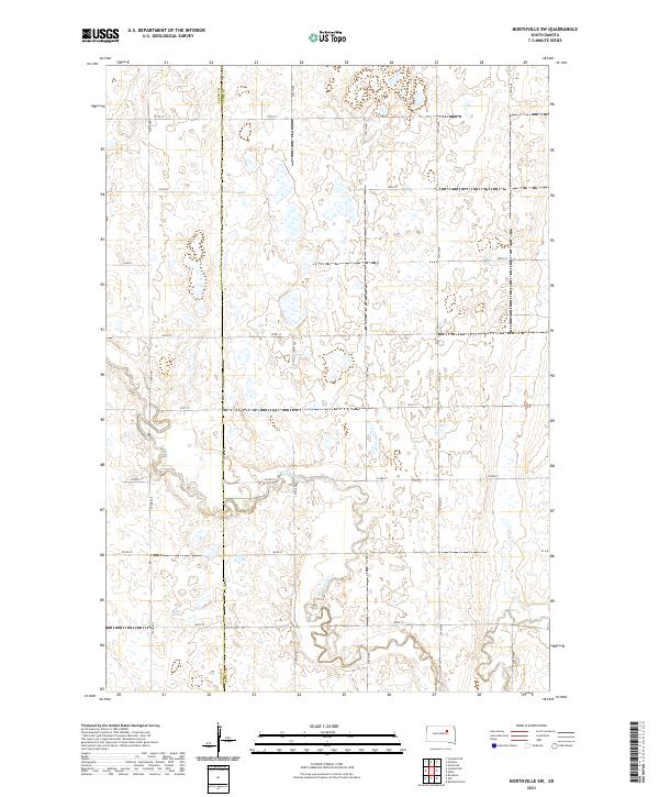 2021 Northville SW2021 Print · USGSThe rural prairie of the early twenty-first century is captured here along the Faulk Co Spink Co line. Local historians and land researchers can trace the winding course of S Fork Snake Cr and the grid of section roads like Co Rd 10.
 - 2021 Map of Northville, 2021 Print
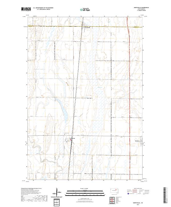 2021 Northville2021 Print · USGSSpink County agriculture and small-town life are preserved here during the early twenty-first century. Genealogists and local historians can trace the grid-work of the prairie from Northville and Mansfield to the Fairview Cem and the waters of Snake Creek.
End of results
Showing maps 1-24 of 24
Top cities near Northville Township
- Warner historical maps
- Mellette historical maps
- Ashton historical maps
- Northville historical maps
- Athol historical maps
- Chelsea historical maps
Top neighborhoods of Northville Township
Frequently asked questions
- What are the different types of historical maps available for Northville Township?
- What is the oldest map of Northville Township?
- Where can I purchase historical maps of Northville Township for my home or office?
- Where can I download high-res historical maps of Northville Township?
- Are there historical topographic maps available for Northville Township?
- Is there historical aerial imagery available for Northville Township?
- Where are historical maps of Northville Township sourced from?