
2015 Map of Northville SW
USGS Topo · Published 2015About this map
South Fork Snake Creek meanders through this portion of the northern plains, creating a distinctive drainage pattern across the township grid. The landscape is defined by the jurisdictional boundary between Faulk Co and Spink Co, which runs north-south through the center of the survey. A rigid network of section lines and rural roads, including 157th St and 374th Ave, segments the terrain into the classic Jeffersonian grid. The topography is marked by numerous small depressions and basins characteristic of the region's glacial history, which collect water near the S Fork Snake Cr during wet seasons. This map provides a clear view of the agricultural organization of South Dakota at the start of the 21st century, showing how property lines and local infrastructure respect the natural flow of the local creek system.
Find a feature on this map
22 named features on this map. Tap any name to fly to it.
Don’t see what you’re looking for? This feature index may not catch every label — zoom into the map to look around manually.
Map Details
Editions of this 2015 Northville SW Map
This is the sole edition of this map. No revisions or reprints were ever made.
Other maps of this area

1899 · Northville
USGS Topo · 1:125,000

1899 · Redfield
USGS Topo · 1:125,000

1953 · Redfield North
USGS Topo · 1:24,000

1953 · Huron
USGS Topo · 1:250,000

1954 · Aberdeen
USGS Topo · 1:250,000

1954 · Huron
USGS Topo · 1:250,000

1956 · Aberdeen
USGS Topo · 1:250,000
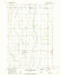
1960 · Northville
USGS Topo · 1:24,000
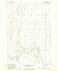
1960 · Athol
USGS Topo · 1:24,000

1966 · Cresbard SE
USGS Topo · 1:24,000