2020s Maps of Todd County, South Dakota
Explore 45 historic maps of Todd County from the 2020s. These maps offer a rare glimpse into what life looked like during the 2020s — showing old roads, neighborhoods, homes, and landmarks that have changed or disappeared over time.
Whether you're researching your family's past, planning a metal detecting trip, or studying how Todd County's landscape evolved across the 2020s, these high-resolution maps are a powerful tool for exploring the history of this region.
- Focus on a specific era: All maps on this page are from the 2020s, giving you a focused view of this time period.
- See what’s changed: Compare century-old streets, trails, and buildings to today's modern landscape using overlays and satellite layers.
- Research with precision: Use these maps for genealogy, historical research, land use analysis, or educational projects.
- View, download, or print: Maps are fully viewable online in high resolution, and can be downloaded or printed for your own records.
Start exploring Todd County's history through authentic maps from the 2020s. This is your window into the past.
Todd County, SD maps
(45)- 2021 Map of Crookston East, 2021 Print
 2021 Crookston East2021 Print · USGSCherry County, Nebraska, is captured here in the early 2020s, showing the intersection of rural ranch land and the South Dakota border. Researchers can trace the path of Minnechaduza Cr or locate local landmarks like Crookston Cem and the Cowboy Trl.
 - 2021 Map of Nenzel, 2021 Print
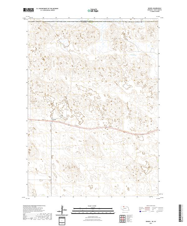 2021 Nenzel2021 Print · USGSThe village of Nenzel and the surrounding Sandhills are captured here at the start of the 2020s. Researchers can trace local history through the Saint Marys Cem and the path of the Cowboy Trl following the old rail corridor.
 - 2021 Map of Cody East, 2021 Print
 2021 Cody East2021 Print · USGSThe Nebraska Sandhills meet the South Dakota border in this recent survey of eastern Cherry County. Genealogists and local historians can trace the town grid along Cody Ave and locate burials at Prairie Lawn Cem or follow the path of the Cowboy Trl.
 - 2021 Map of Kilgore, 2021 Print
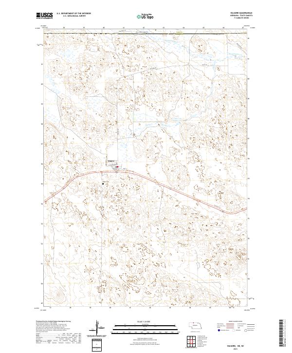 2021 Kilgore2021 Print · USGSThe Nebraska-South Dakota border region near Kilgore comes into focus during this modern era of ranching and recreation. Genealogists and hikers can trace the Cowboy Trl past the Kilgore Cem and through the drainages of Spring Cr.
 - 2021 Map of Norden NW, 2021 Print
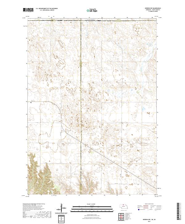 2021 Norden NW2021 Print · USGSThe Nebraska-South Dakota borderlands in the early 2020s remain a landscape of vast cattle range and quiet section roads. Genealogists and local historians can locate the Sparks Cem and trace the paths of Shadley Cr and Coleman Cr through the hills.
 - 2021 Map of Cornell Dam, 2021 Print
 2021 Cornell Dam2021 Print · USGSCherry County, Nebraska, and the South Dakota borderlands are shown here in the early 2020s, dominated by the protected Fort Niobrara National Wildlife Refuge. Researchers can map the river corridor to find Cornell Dam, the heights of Tyler Falls, and the spans of Buffalo Bridge.
 - 2021 Map of Crookston West, 2021 Print
 2021 Crookston West2021 Print · USGSCrossing the Nebraska-South Dakota border in the modern era, this survey captures the ranching and trail history of Cherry County. Researchers can trace the path of the Cowboy Trail and identify local family-named routes such as ABC Ranch Drive and German Settlement Road.
 - 2021 Map of Olsonville SE, 2021 Print
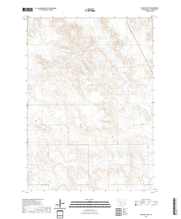
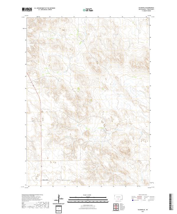
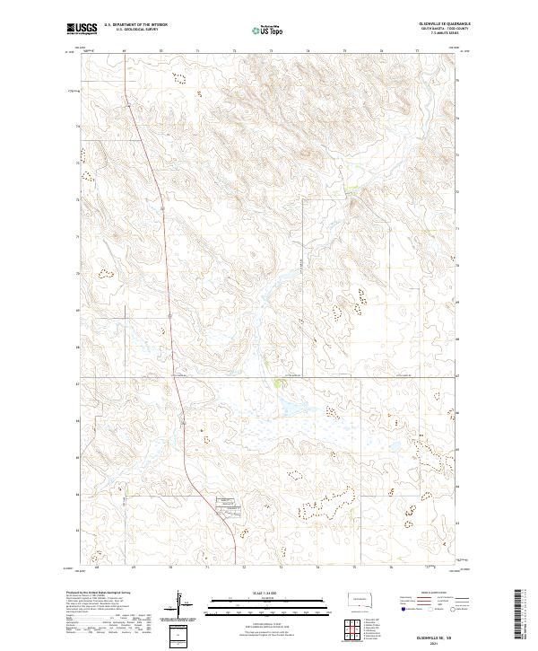 2021 Olsonville SE2021 Print · USGSThe open prairie of Todd County was surveyed in the early twenty-first century, showing a landscape of scattered rural roads and watercourses. Genealogists and local historians can trace residential patterns along Village Loop Rd and the banks of Rock Cr.
 - 2021 Map of Mission, 2021 Print
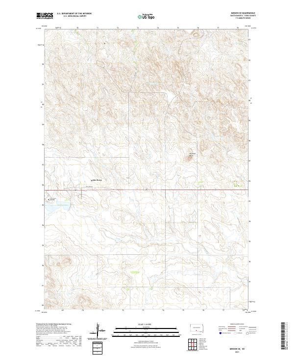
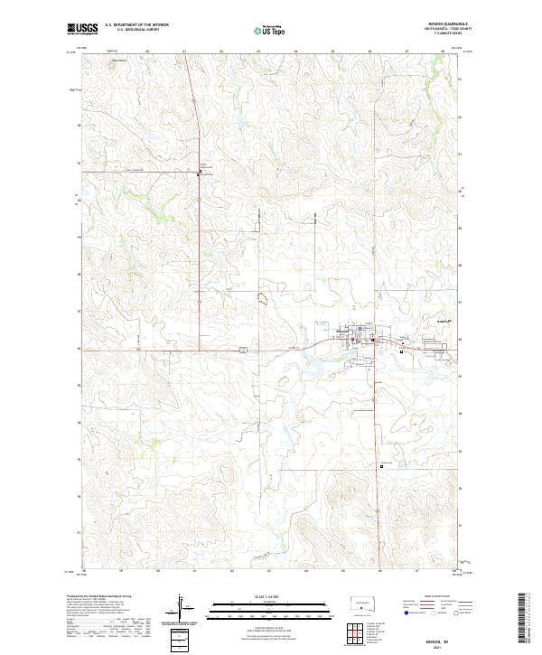 2021 Mission2021 Print · USGSThe community of Mission and the nearby settlement of Antelope are documented here in the early twenty-first century. Genealogists can trace family history through numerous sites like Rosebud Cem, Saint Thomas Cem, and Indian Mission Cem.
 - 2021 Map of Mission NE, 2021 Print
 2021 Mission NE2021 Print · USGSWhite Thunder Creek meanders through the Mellette and Todd County line in this modern study of the South Dakota landscape. Researchers can trace the rural road network along Wht Wind Rd and the drainage of Horse Head Cr across the high plains.
 - 2021 Map of Olsonville NW, 2021 Print
 2021 Olsonville NW2021 Print · USGSTodd County's high plains are captured in the early 2020s, showing a landscape defined by ranching roads and natural drainage. Trace the winding path of Antelope Cr and the rural road network including Lakeview Rd and 288th St.
 - 2021 Map of Okreek SE, 2021 Print
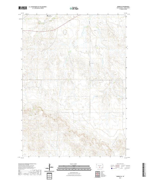 2021 Okreek SE2021 Print · USGSTodd County prairie land is documented in this 2021 survey, showing the rural grid and watercourses of south-central South Dakota. Researchers can locate Saint Peter's Catholic Cem and trace the paths of Oak Cr and W White Horse Cr.
 - 2021 Map of Hidden Timber NE, 2021 Print
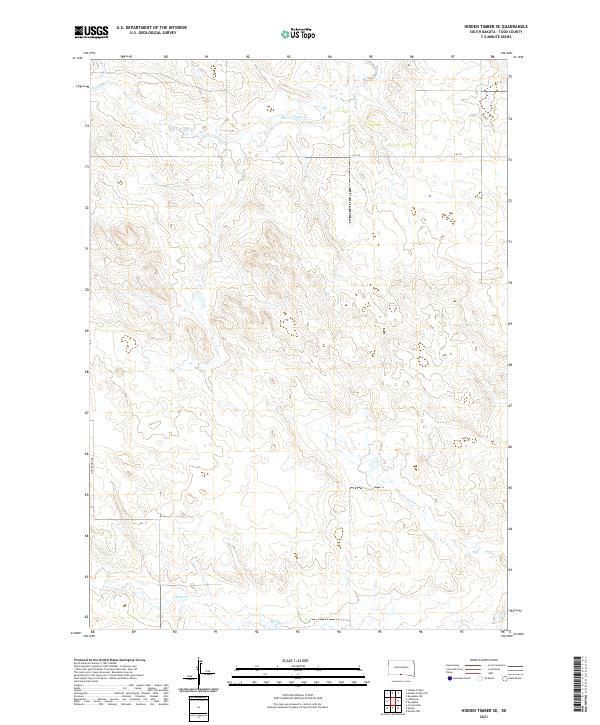
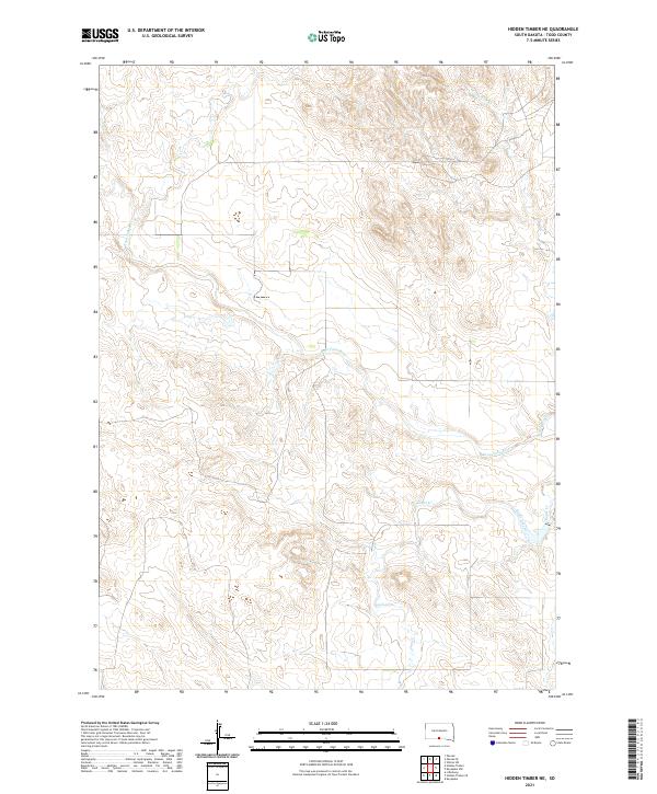 2021 Hidden Timber NE2021 Print · USGSTodd County's prairie landscape is captured in the early 2020s, showing a territory defined by its watercourses and land divisions. Researchers can trace the winding path of the Keya Paha River and its tributaries like Eagle Creek and Crazy Hole Cr.
 - 2021 Map of Mission SE, 2021 Print
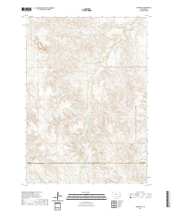
 2021 Mission SE2021 Print · USGSTodd County's high plains landscape in the early 2020s shows a unique mix of tribal education and rural tradition. Trace the development of White Horse and Sinte Gleska University near landmarks like Haystack Butte and Tower Lake.
 - 2021 Map of Rosebud, 2021 Print
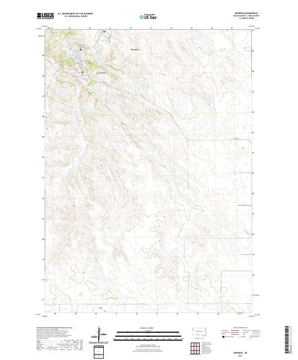 2021 Rosebud2021 Print · USGSRosebud and its surrounding creek systems are captured here in the early twenty-first century. Researchers can locate Spotted Tail Cem and trace the drainage of the W Br Rosebud Cr near the prominent Rosebud Butte.
 - 2021 Map of Okreek, 2021 Print
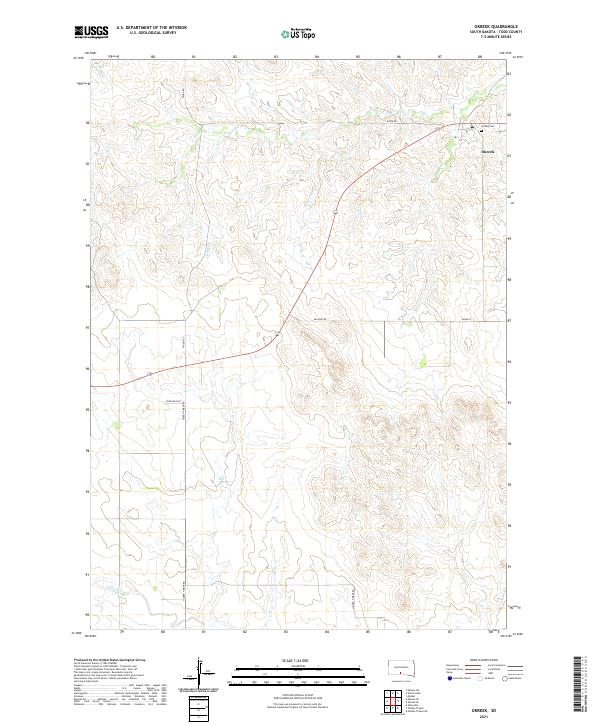 2021 Okreek2021 Print · USGSTodd County, South Dakota, is documented here in the early 2020s, showing the enduring rural layout of the northern plains. Local history researchers can trace family connections at Calvary Cem or follow the paths of Oak Cr and Hidden Timber Rd.
 - 2021 Map of Hidden Timber SE, 2021 Print
 2021 Hidden Timber SE2021 Print · USGSTodd County's open prairie and rolling draws are captured here in the early twenty-first century. Researchers can trace the paths of Eagle Cr and Sand Cr or follow the path of Little Burg Rd across the reservation landscape.
 - 2021 Map of Eagle Mans Butte, 2021 Print
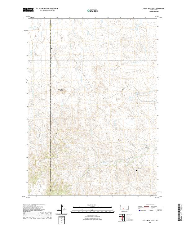 2021 Eagle Mans Butte2021 Print · USGSThe Todd County plains and the Bennett County border are captured here during the early twenty-first century. Researchers can locate family sites near Saint Stephen Cemetery or trace the drainage of Eagle Chief Creek and Black Elk Creek.
 - 2021 Map of Parmelee NE, 2021 Print
 2021 Parmelee NE2021 Print · USGSThe rural borderlands of Mellette and Todd counties are captured in this recent survey of the South Dakota plains. Researchers can trace land tracts near the Saint John Lutheran Cem or follow the paths of Gray Eagletail Creek and Swimmer Creek.
 - 2021 Map of Soldier Creek, 2021 Print
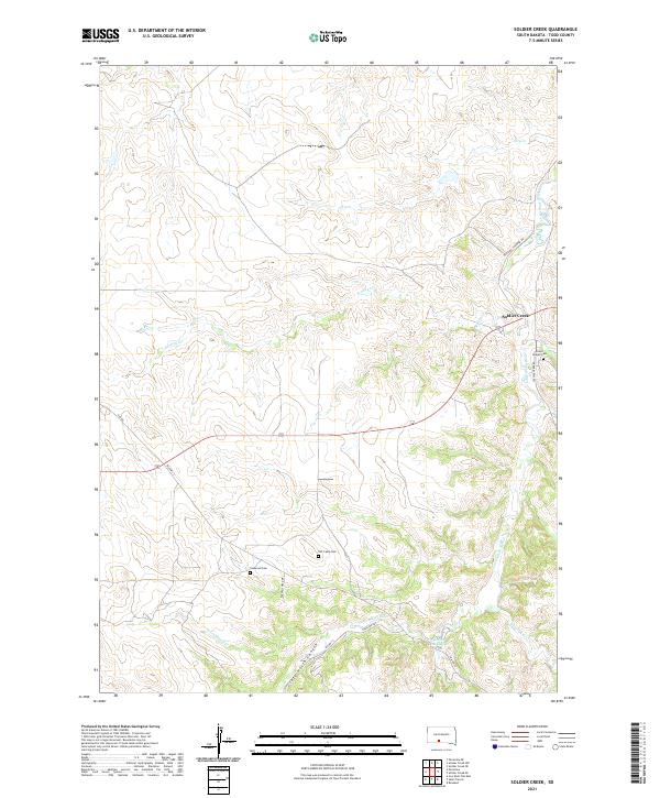 2021 Soldier Creek2021 Print · USGSTodd County's high plains and river breaks are captured here in the early twenty-first century. Genealogists and local historians can trace family locations near Grace Chapel Cem, Soldier Creek, and the distinctive Crazy Horse Canyon.
 - 2021 Map of Mosher, 2021 Print
 2021 Mosher2021 Print · USGSMellette County ranching country is captured here in the early twenty-first century, showing the enduring structure of the Great Plains landscape. Researchers can trace the drainages of Oak Cr and White Horse Cr as they wind through the vicinity of Mosher.
 - 2021 Map of Olsonville, 2021 Print
 2021 Olsonville2021 Print · USGSTodd County’s open range and rural crossroads are captured here during the early 2020s. Researchers can trace the drainage of Lone Tree Cr and Rock Cr or locate the small settlement of Olsonville along the section line of 295th St.
 - 2021 Map of Hidden Timber, 2021 Print
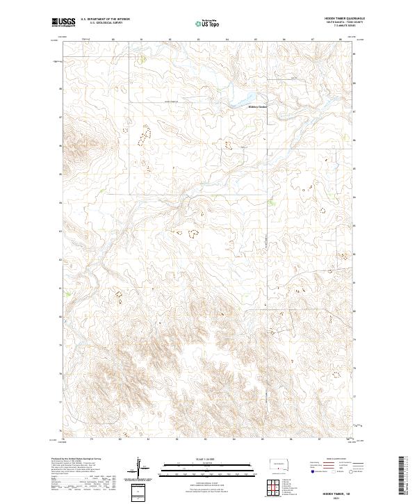 2021 Hidden Timber2021 Print · USGSTodd County during the early twenty-first century is captured here as a landscape of wide-open spaces and essential river systems. Researchers can trace the winding course of the Keya Paha River and locate the community of Hidden Timber along Hidden Timber Rd.
 - 2021 Map of Saint Francis SW, 2021 Print
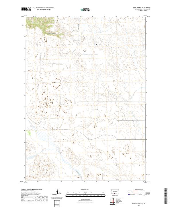 2021 Saint Francis SW2021 Print · USGSTodd County ranchlands and reservation territory are documented in this recent survey of the Rosebud region. Genealogists and local historians can trace family land ties near Star Cem or follow the paths of BIA HWY 13 and Horse Looking Rd.
 - 2021 Map of Soldier Creek NE, 2021 Print
 2021 Soldier Creek NE2021 Print · USGSMellette and Todd Counties appear here in the early 2020s, showcasing the winding path of the Little White River. Genealogists and local historians can locate remote burial sites such as Ring Thunder Sacred Heart Cem and the Saint John Episcopal Cem near Cut Meat Cr.
Showing maps 1-25 of 45
Top cities of Todd County
Frequently asked questions
- What are the different types of historical maps available for Todd County?
- What is the oldest map of Todd County?
- Where can I purchase historical maps of Todd County for my home or office?
- Where can I download high-res historical maps of Todd County?
- Are there historical topographic maps available for Todd County?
- Is there historical aerial imagery available for Todd County?
- Where are historical maps of Todd County sourced from?