Old Maps of Akaska, South Dakota for Academic Research
Study the evolution of Akaska with 13 high-resolution historic maps. Whether you're teaching, researching, or modeling changes in land use, these maps provide essential visual documentation of urban, environmental, and geographic change.
- Analyze long-term change: Track patterns in development, transportation, and natural features.
- Ideal for environmental or urban studies: Support academic projects with primary historical map data.
- Use in the classroom or lab: Educators and researchers rely on these maps to bring historical context to life.
These maps are a powerful tool for teaching, research, and visualizing how Akaska has changed over the decades.
Akaska, SD maps
(13)- 1953 Map of McIntosh, 1965 Print
 1953 McIntosh1965 Print · USGSThe north-central Dakota prairie is captured here during the mid-fifties, showing the vast Standing Rock Indian Reservation and the newly formed Oah E Reservoir. Genealogists and historians can trace the Chicago Milwaukee St Paul and Pacific rail line through stops like McIntosh, Walker, and Eagle Butte.3 unique versions available
 - 1958 Map of McIntosh
 1958 McIntosh1958 Print · USGSThe north-central Dakotas appear here in the mid-1950s as massive engineering projects and rail lines shaped the plains. Researchers can trace tribal lands within the Standing Rock Indian Reservation and locate local landmarks like the Keller Mine or the Virginia Siding.
 - 1968 Map of Akaska SW, 1971 Print
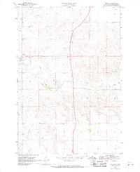
 1968 Akaska SW1971 Print · USGSWalworth County, South Dakota, was transitioning in the late 1960s as the Missouri River valley adjusted to the presence of Lake Oahe. Researchers can trace the path of the Old Railroad Grade and locate family history at Old Zion Cem near Swan Creek.
 - 1968 Map of Akaska, 1971 Print
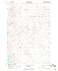
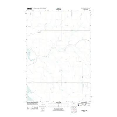
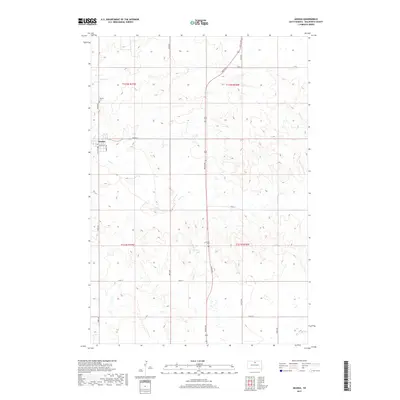
 1968 Akaska1971 Print · USGSAkaska and the rolling plains of Walworth County are documented here in the late sixties, showing a landscape defined by prairie agriculture. You can trace the path of the Old Railroad Grade and locate family landmarks like the Akaska Cem and Rieger Creek.
 - 1985 Map of La Plant, 1986 Print
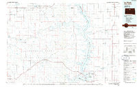 1985 La Plant1986 Print · USGSThe Cheyenne River and Standing Rock Indian Reservations meet here in the mid-eighties as Lake Oahe reshapes the Missouri River valley. Genealogists and local historians can trace the Old RR Gr and locate community landmarks like La Plant, Whitehorse, and Rabenberg Cemetery.2 unique versions available
 - 2012 Map of Akaska, 2012 Print
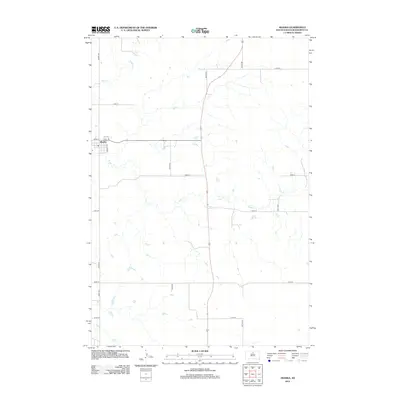 2012 Akaska2012 Print · USGSCovers Akaska, including Walworth County, United States, and other nearby areas
 - 2012 Map of Akaska SW, 2012 Print
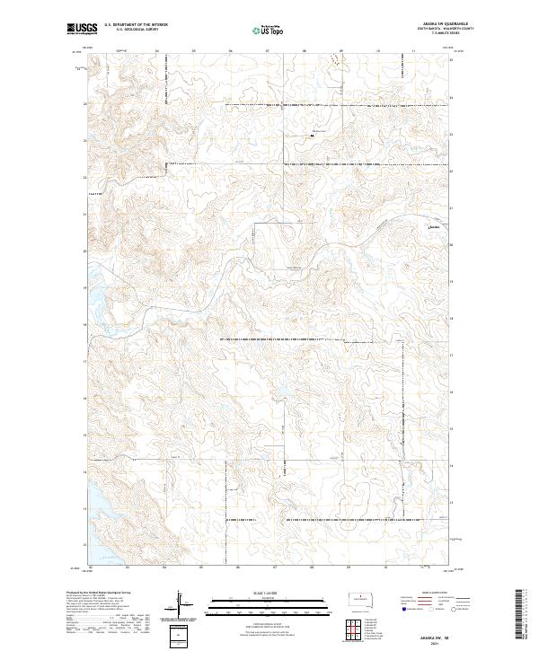
 2012 Akaska SW2012 Print · USGSCovers Akaska, including Walworth County, United States, and other nearby areas
 - 2015 Map of Akaska, 2015 Print
 2015 Akaska2015 Print · USGSCovers Akaska, including Walworth County, United States, and other nearby areas
 - 2015 Map of Akaska SW, 2015 Print
 2015 Akaska SW2015 Print · USGSCovers Akaska, including Walworth County, United States, and other nearby areas
 - 2017 Map of Akaska SW, 2017 Print
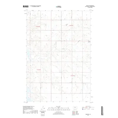 2017 Akaska SW2017 Print · USGSCovers Akaska, including Walworth County, United States, and other nearby areas
 - 2017 Map of Akaska, 2017 Print
 2017 Akaska2017 Print · USGSCovers Akaska, including Walworth County, United States, and other nearby areas
 - 2021 Map of Akaska SW, 2021 Print
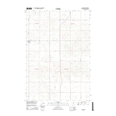
 2021 Akaska SW2021 Print · USGSWalworth County at the start of the 2020s shows a landscape of prairie drainages and the encroaching waters of the Missouri River. Genealogists and local historians can locate Old Zion Cem, the settlement of Akaska, and follow the winding path of Swan Creek.
 - 2021 Map of Akaska, 2021 Print
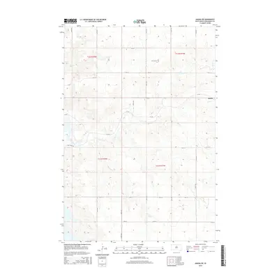
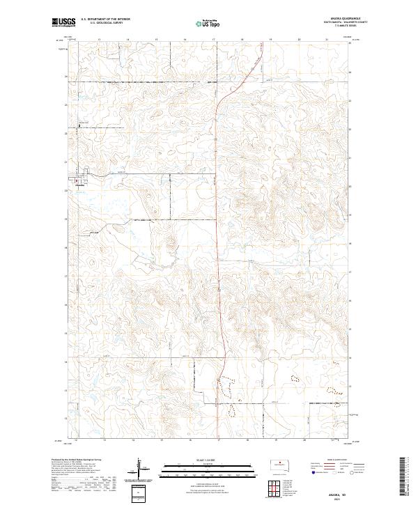 2021 Akaska2021 Print · USGSAkaska and its surrounding Walworth County prairies are captured here in the early 2020s, showcasing a landscape of high plains agriculture and deep drainage coulees. Genealogists and local historians can locate the Akaska Cem and trace the paths of Swan Cr and Rieger Cr through the rural grid.
End of results
Showing maps 1-13 of 13
Top cities near Akaska
Frequently asked questions
- What are the different types of historical maps available for Akaska?
- What is the oldest map of Akaska?
- Where can I purchase historical maps of Akaska for my home or office?
- Where can I download high-res historical maps of Akaska?
- Are there historical topographic maps available for Akaska?
- Is there historical aerial imagery available for Akaska?
- Where are historical maps of Akaska sourced from?