Old Maps of Sampson, Tennessee for Genealogy
Trace your family roots with 14 historic maps of Sampson. These high-res maps reveal old neighborhoods, homesites, landmarks, and streets — helping you uncover where your ancestors lived and how the area evolved over time.
- Explore historic neighborhoods: Identify where your relatives may have lived in the 1800s or 1900s.
- Compare maps over time: Trace the changes in streets, buildings, and landmarks for multi-generational research.
- Perfect for genealogy & ancestry research: Used by family historians and researchers to map out lineage and migration.
These maps are an incredible resource for exploring your personal connection to Sampson's past.
Sampson, TN maps
(14)- 1892 Map of Pikeville
 1892 Pikeville1892 Print · USGSThe Cumberland Plateau in the 1890s shows a rugged landscape of early river ferries and mountain gaps. Genealogists and historians can trace the paths between Sparta and Crossville, locating landmarks like Hodge Ferry and the Rock House tavern.
 - 1895 Map of Pikeville
 1895 Pikeville1895 Print · USGSThe Cumberland Plateau was a landscape of mountain settlements and critical gaps in the 1890s. Genealogists can trace family roots through upland communities like Pomona and Lantana, or locate old landmarks like Hale Chapel and Hodge Ferry along the river.7 unique versions available
 - 1953 Map of Chattanooga
 1953 Chattanooga1953 Print · USGSSoutheast Tennessee in the early fifties shows a landscape reshaped by river management and rail power. Trace the rail lines of the Southern Ry through riverside towns or locate the preserved grounds of the Chickamauga and Chattanooga National Military Park.
 - 1954 Map of Sampson, 1955 Print
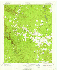 1954 Sampson1955 Print · USGSThe Cumberland Plateau of Van Buren and Bledsoe counties is captured here in the mid-1950s, highlighting a mix of conservation and rural industry. Researchers can trace the early layout of Falls Creek Falls State Park and locate vanished landmarks like the New Martin Sch and Mooneyham.5 unique versions available
 - 1957 Map of Chattanooga, 1966 Print
 1957 Chattanooga1966 Print · USGSEast Tennessee in the mid-1960s shows a landscape of massive hydroelectric reservoirs and emerging industrial sites like the Atomic Energy Commission (Oak Ridge Area). Trace the rail networks of the Southern Ry through Chattanooga or locate family-named ridges across the Cumberland Plateau.3 unique versions available
 - 1959 Map of Chattanooga
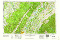 1959 Chattanooga1959 Print · USGSSoutheast Tennessee is shown here during a decade of industrial growth and hydroelectric development. Trace the regional rail networks of the Southern Ry and find landmark sites like Lookout Mountain, Fall Creek Falls State Park, and Chattanooga.
 - 1960 Map of Chattanooga
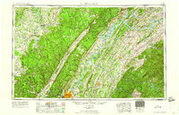 1960 Chattanooga1960 Print · USGSSoutheast Tennessee and the southern Appalachians are shown here at the height of the river-management era. You can trace the valley rail lines and locate Lookout Mountain and the expansive waters of Chickamauga Reservoir.
 - 1964 Map of Chattanooga
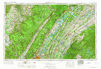 1964 Chattanooga1964 Print · USGSSoutheast Tennessee and the western Carolinas appear in the mid-sixties as a powerhouse of river-driven industry and mountain wilderness. Genealogists and historians can trace rail-town lineages along the Southern Ry or locate family landmarks near Watts Bar Lake and Tellico Plains.
 - 1981 Map of Mc Minnville
 1981 Mc Minnville1981 Print · USGSThe Cumberland Plateau and the Sequatchie Valley meet in this early 1980s look at Warren and White Counties. Researchers can locate vanished rural landmarks like Hutchins College, the old rail stops of the Tennessee Central, and Mount Zion Cem.
 - 2010 Map of Sampson, 2010 Print
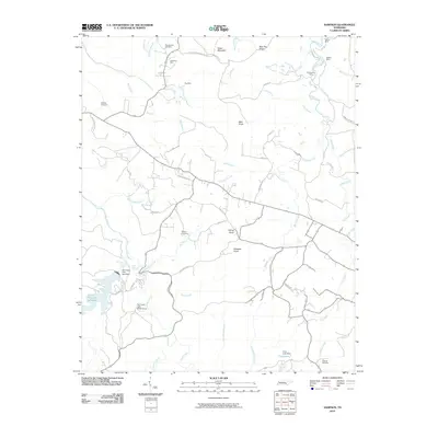 2010 Sampson2010 Print · USGSBledsoe County’s plateau landscape comes into focus during the early twenty-first century, showing a mix of natural landmarks and deep-rooted family sites. Researchers can trace land use through several mining locations like Anderson Mine or locate ancestral grounds at Mooneyham Cemetery and Walling Cemetery.
 - 2013 Map of Sampson, 2013 Print
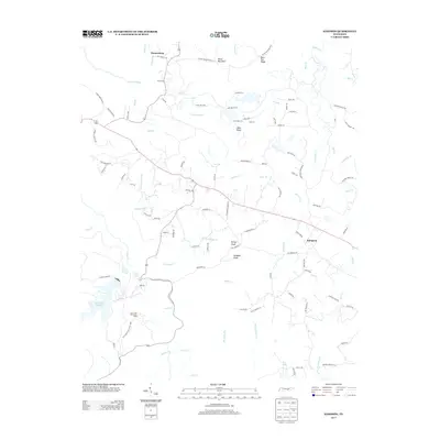 2013 Sampson2013 Print · USGSSampson and the Bledsoe County highlands are captured here in the early 2000s, centered on the dramatic waterfalls of the Cumberland Plateau. Researchers can locate Prater Mansion, the community of Mooneyham, and the rugged boundaries of Fall Creek Falls State Park.
 - 2016 Map of Sampson, 2016 Print
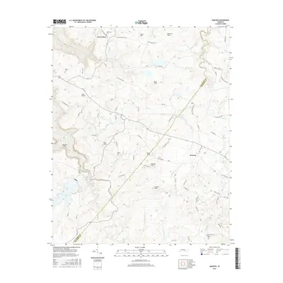 2016 Sampson2016 Print · USGSThe rural plateau on the Van Buren and Bledsoe county line is captured here in the mid-2010s. Local researchers can trace family roots through sites like Mooneyham Cem and DeBord Cem, or locate landmarks such as Kellog Knob and Walling Mill Cr.
 - 2019 Map of Sampson, 2019 Print
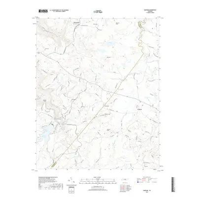 2019 Sampson2019 Print · USGSBledsoe and Van Buren counties are captured here in the modern era, showing the rural character of the Cumberland Plateau. Genealogists and local historians can locate established settlements like Mooneyham and Sampson, alongside water features such as Camps Gulf Br.
 - 2022 Map of Sampson, 2022 Print
 2022 Sampson2022 Print · USGSThe Van Buren and Bledsoe county line area in the early 2020s shows a landscape of ridge-top settlements and deep creek hollows. Family history researchers can locate Mooneyham Cem, Debord Cem, and the high points of Salzer Mtn or Buzzards Roost.
End of results
Showing maps 1-14 of 14
Top cities near Sampson
- Crossville historical maps
- Dayton historical maps
- Pikeville historical maps
- Spencer historical maps
- Graysville historical maps
Frequently asked questions
- What are the different types of historical maps available for Sampson?
- What is the oldest map of Sampson?
- Where can I purchase historical maps of Sampson for my home or office?
- Where can I download high-res historical maps of Sampson?
- Are there historical topographic maps available for Sampson?
- Is there historical aerial imagery available for Sampson?
- Where are historical maps of Sampson sourced from?