1930s Maps of Bradley County, Tennessee
Explore 13 historic maps of Bradley County from the 1930s. These maps offer a rare glimpse into what life looked like during the 1930s — showing old roads, neighborhoods, homes, and landmarks that have changed or disappeared over time.
Whether you're researching your family's past, planning a metal detecting trip, or studying how Bradley County's landscape evolved across the 1930s, these high-resolution maps are a powerful tool for exploring the history of this region.
- Focus on a specific era: All maps on this page are from the 1930s, giving you a focused view of this time period.
- See what’s changed: Compare century-old streets, trails, and buildings to today's modern landscape using overlays and satellite layers.
- Research with precision: Use these maps for genealogy, historical research, land use analysis, or educational projects.
- View, download, or print: Maps are fully viewable online in high resolution, and can be downloaded or printed for your own records.
Start exploring Bradley County's history through authentic maps from the 1930s. This is your window into the past.
Bradley County, TN maps
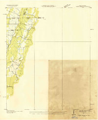
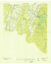
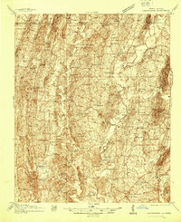
(13)- 1935 Map of East Cleveland
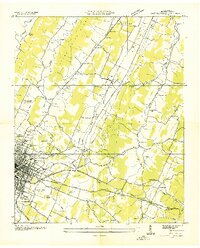 1935 East Cleveland1935 Print · USGSCovers Bradley County, including Cleveland, Hill Acres, and other nearby areas
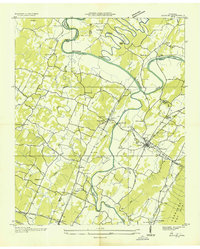
 - 1935 Map of Mc Donald
 1935 Mc Donald1935 Print · USGSCovers Bradley County, including Cleveland, Flint Springs, and other nearby areas
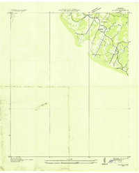
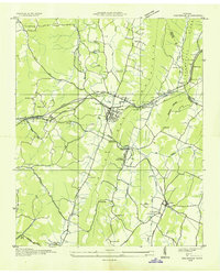
 - 1935 Map of Calhoun
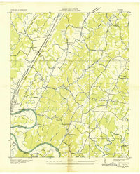 1935 Calhoun1935 Print · USGSCovers Bradley County, including Charleston, Calhoun, and other nearby areas
 - 1935 Map of Benton
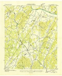
 1935 Benton1935 Print · USGSCovers Bradley County, including Benton, Patty, and other nearby areas
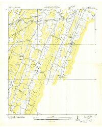
 - 1935 Map of Tiger Creek
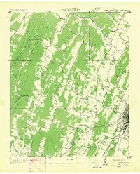
 1935 Tiger Creek1935 Print · USGSCovers Bradley County, including Varnell, Cohutta, and other nearby areas
 - 1935 Map of Felker
 1935 Felker1935 Print · USGSCovers Bradley County, including Cleveland, Mount Vernon, and other nearby areas
 - 1935 Map of Snow Hill
 1935 Snow Hill1935 Print · USGSCovers Bradley County, including Lakesite, Pinebrook Estates, and other nearby areas
 - 1935 Map of Charleston
 1935 Charleston1935 Print · USGSCovers Bradley County, including Charleston, Calhoun, and other nearby areas
 - 1935 Map of Parksville
 1935 Parksville1935 Print · USGSCovers Bradley County, including Ocoee, Willis Springs, and other nearby areas
 - 1935 Map of Ooltewah
 1935 Ooltewah1935 Print · USGSCovers Bradley County, including Chattanooga, Collegedale, and other nearby areas
 - 1935 Map of Birchwood
 1935 Birchwood1935 Print · USGSCovers Bradley County, including Brittsville, Birchwood, and other nearby areas
 - 1935 Map of South Cleveland
 1935 South Cleveland1935 Print · USGSCovers Bradley County, including Cleveland, Meadowview, and other nearby areas
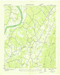
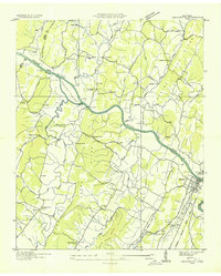
 - 1938 Map of Chatsworth
 1938 Chatsworth1938 Print · USGSCovers Bradley County, including Dalton, Chatsworth, and other nearby areas3 unique versions available
End of results
Showing maps 1-13 of 13
Top cities of Bradley County
Frequently asked questions
- What are the different types of historical maps available for Bradley County?
- What is the oldest map of Bradley County?
- Where can I purchase historical maps of Bradley County for my home or office?
- Where can I download high-res historical maps of Bradley County?
- Are there historical topographic maps available for Bradley County?
- Is there historical aerial imagery available for Bradley County?
- Where are historical maps of Bradley County sourced from?