2000s (21st Century) Maps of Bradley County, Tennessee
Explore 67 historic maps of Bradley County from the 2000s (21st Century). These maps offer a rare glimpse into what life looked like during the 2000s — showing old roads, neighborhoods, homes, and landmarks that have changed or disappeared over time.
Whether you're researching your family's past, planning a metal detecting trip, or studying how Bradley County's landscape evolved across the 2000s, these high-resolution maps are a powerful tool for exploring the history of this region.
- Focus on a specific era: All maps on this page are from the 2000s, giving you a focused view of this time period.
- See what’s changed: Compare century-old streets, trails, and buildings to today's modern landscape using overlays and satellite layers.
- Research with precision: Use these maps for genealogy, historical research, land use analysis, or educational projects.
- View, download, or print: Maps are fully viewable online in high resolution, and can be downloaded or printed for your own records.
Start exploring Bradley County's history through authentic maps from the 2000s. This is your window into the past.
Bradley County, TN maps
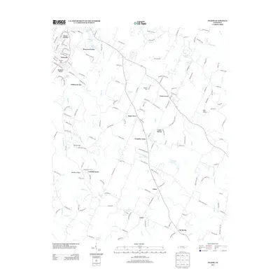
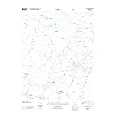
(67)- 2003 Map of Parksville, 2004 Print
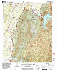 2003 Parksville2004 Print · USGSThe Ocoee River valley and the foothills of the Cherokee National Forest are captured here at the turn of the millennium. Researchers can trace the legacy of river management and local settlements from Parksville and Ocoee to the southern community of Conasauga.
 - 2003 Map of Benton, 2004 Print
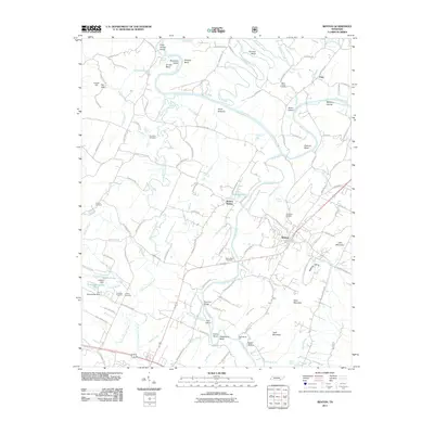
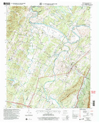 2003 Benton2004 Print · USGSBenton and the Hiwassee River valley are captured here at the turn of the millennium, showing a landscape shaped by river bends and pioneer roads. Genealogists can locate family landmarks like the Nancy Ward Cem, Benton Station, and the Old Federal Road.
 - 2010 Map of Ooltewah, 2010 Print
 2010 Ooltewah2010 Print · USGSCovers Bradley County, including Chattanooga, Collegedale, and other nearby areas
 - 2010 Map of Snow Hill, 2010 Print
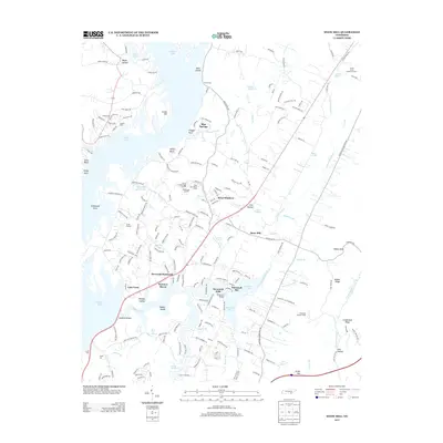
 2010 Snow Hill2010 Print · USGSCovers Bradley County, including Lakesite, Rock Ledge Estates, and other nearby areas
 - 2010 Map of McDonald, 2010 Print
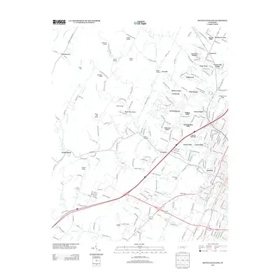
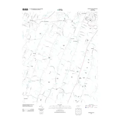
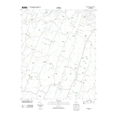 2010 McDonald2010 Print · USGSCovers Bradley County, including Cleveland, Tucker Springs, and other nearby areas
 - 2010 Map of Calhoun, 2010 Print
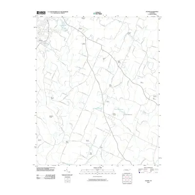
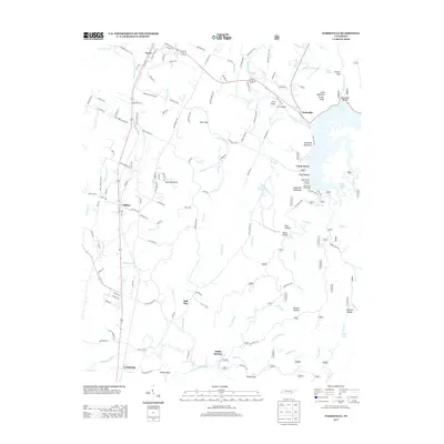
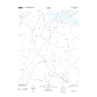
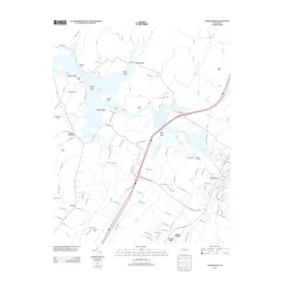
 2010 Calhoun2010 Print · USGSCovers Bradley County, including Charleston, Calhoun, and other nearby areas
 - 2010 Map of Felker, 2010 Print
 2010 Felker2010 Print · USGSCovers Bradley County, including Cleveland, Wildwood Lake, and other nearby areas
 - 2010 Map of Cohutta, 2010 Print
 2010 Cohutta2010 Print · USGSCovers Bradley County, including Varnell, Cohutta, and other nearby areas
 - 2010 Map of Birchwood, 2010 Print
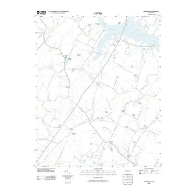 2010 Birchwood2010 Print · USGSCovers Bradley County, including Brittsville, Camelot, and other nearby areas
 - 2010 Map of East Cleveland, 2010 Print
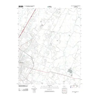 2010 East Cleveland2010 Print · USGSCovers Bradley County, including Cleveland, Climer, and other nearby areas
 - 2010 Map of South Cleveland, 2010 Print
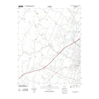 2010 South Cleveland2010 Print · USGSCovers Bradley County, including Cleveland, Hopewell, and other nearby areas
 - 2010 Map of Charleston, 2010 Print
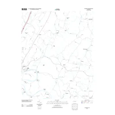
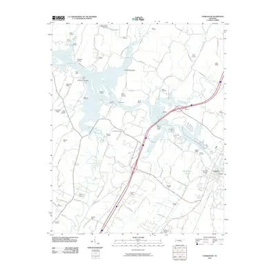 2010 Charleston2010 Print · USGSCovers Bradley County, including Charleston, Calhoun, and other nearby areas
 - 2011 Map of Parksville, 2011 Print
 2011 Parksville2011 Print · USGSCovers Bradley County, including Ball Play, YMCA Camp Ocoee, and other nearby areas
 - 2011 Map of Benton, 2011 Print
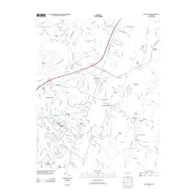
 2011 Benton2011 Print · USGSCovers Bradley County, including Benton, Benton Station, and other nearby areas
 - 2011 Map of Beaverdale, 2011 Print
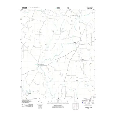 2011 Beaverdale2011 Print · USGSCovers Bradley County, including Ruralvale, Gregory, and other nearby areas
 - 2013 Map of Snow Hill, 2013 Print
 2013 Snow Hill2013 Print · USGSCovers Bradley County, including Lakesite, Rock Ledge Estates, and other nearby areas
 - 2013 Map of Parksville, 2013 Print
 2013 Parksville2013 Print · USGSCovers Bradley County, including Ball Play, YMCA Camp Ocoee, and other nearby areas
 - 2013 Map of Felker, 2013 Print
 2013 Felker2013 Print · USGSCovers Bradley County, including Cleveland, Wildwood Lake, and other nearby areas
 - 2013 Map of South Cleveland, 2013 Print
 2013 South Cleveland2013 Print · USGSCovers Bradley County, including Cleveland, Hopewell, and other nearby areas
 - 2013 Map of Ooltewah, 2013 Print
 2013 Ooltewah2013 Print · USGSCovers Bradley County, including Chattanooga, Collegedale, and other nearby areas
 - 2013 Map of Birchwood, 2013 Print
 2013 Birchwood2013 Print · USGSCovers Bradley County, including Brittsville, Camelot, and other nearby areas
 - 2013 Map of Benton, 2013 Print
 2013 Benton2013 Print · USGSCovers Bradley County, including Benton, Benton Station, and other nearby areas
 - 2013 Map of McDonald, 2013 Print
 2013 McDonald2013 Print · USGSCovers Bradley County, including Cleveland, Tucker Springs, and other nearby areas
 - 2013 Map of Calhoun, 2013 Print
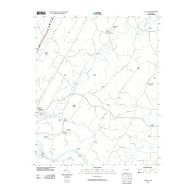
 2013 Calhoun2013 Print · USGSCovers Bradley County, including Charleston, Calhoun, and other nearby areas
 - 2013 Map of Charleston, 2013 Print
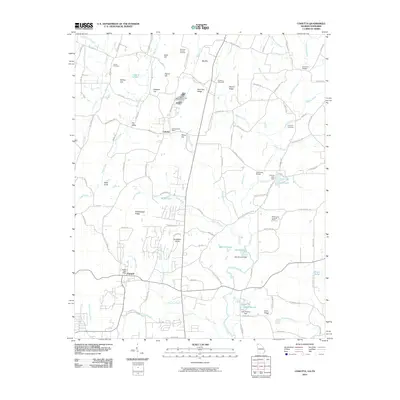
 2013 Charleston2013 Print · USGSCovers Bradley County, including Charleston, Calhoun, and other nearby areas
Showing maps 1-25 of 67
Top cities of Bradley County
Frequently asked questions
- What are the different types of historical maps available for Bradley County?
- What is the oldest map of Bradley County?
- Where can I purchase historical maps of Bradley County for my home or office?
- Where can I download high-res historical maps of Bradley County?
- Are there historical topographic maps available for Bradley County?
- Is there historical aerial imagery available for Bradley County?
- Where are historical maps of Bradley County sourced from?