Old Maps of Midway, Tennessee for Academic Research
Study the evolution of Midway with 11 high-resolution historic maps. Whether you're teaching, researching, or modeling changes in land use, these maps provide essential visual documentation of urban, environmental, and geographic change.
- Analyze long-term change: Track patterns in development, transportation, and natural features.
- Ideal for environmental or urban studies: Support academic projects with primary historical map data.
- Use in the classroom or lab: Educators and researchers rely on these maps to bring historical context to life.
These maps are a powerful tool for teaching, research, and visualizing how Midway has changed over the decades.
Midway, TN maps
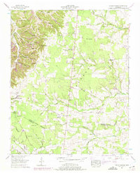
(11)- 1913 Map of Hollow Springs
 1913 Hollow Springs1913 Print · USGSThe Tennessee highland plateau meets the Central Basin in the years before the Great War, showing a landscape of family-run stores and district schools. Genealogists can trace ancestral homes near Hollow Springs, Patmos Chapel, and the McMahan School district.4 unique versions available
 - 1936 Map of Petty Gap
 1936 Petty Gap1936 Print · USGSMiddle Tennessee’s highland terrain is captured during the mid-1930s expansion of the Tennessee Valley Authority. Local researchers can trace the specific watershed boundaries of the Tennessee Basin Divide and the course of Perry and Greek creeks.
 - 1943 Map of Mc Minnville, 1944 Print
 1943 Mc Minnville1944 Print · USGSMid-Tennessee is captured here during the mobilization of the early 1940s, showing the vast Camp Forrest Military Reservation and thriving rail towns. Trace the N C & ST L line through Mcminnville or locate smaller rural hubs like Morrison and Hickerson Station.
 - 1953 Map of Hollow Springs, 1975 Print
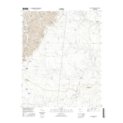
 1953 Hollow Springs1975 Print · USGSIn the early fifties, this section of Middle Tennessee was a world of family-held hollows and upland ridges along the Tennessee Valley Divide. Genealogists can trace rural communities through landmarks like Wildwood Mill, the Hopewell Sch, and numerous family burial grounds including Milligan Cem.2 unique versions available
 - 1956 Map of Columbia, 1960 Print
 1956 Columbia1960 Print · USGSMiddle Tennessee in the mid-fifties presents a landscape of established river towns and critical rail hubs before the arrival of the modern interstate system. Researchers can trace the routes of the Louisville and Nashville railroad or locate historic landmarks like Stones River National Military Park and the Tennessee National Wildlife Refuge.6 unique versions available
 - 1985 Map of Murfreesboro, 1986 Print
 1985 Murfreesboro1986 Print · USGSMiddle Tennessee in the mid-1980s shows a landscape of growing towns and deep-rooted rural outposts. Local researchers can trace old family lines near Bell Buckle, locate landmarks like Donnel Chapel, or explore the grounds of Henry Horton State Park and Hoovers Gap.
 - 2010 Map of Hollow Springs, 2010 Print
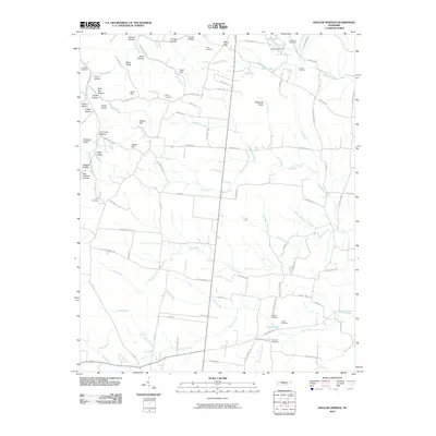 2010 Hollow Springs2010 Print · USGSCovers Midway, including Hollow Springs, McMahan, and other nearby areas
 - 2013 Map of Hollow Springs, 2013 Print
 2013 Hollow Springs2013 Print · USGSCovers Midway, including Hollow Springs, McMahan, and other nearby areas
 - 2016 Map of Hollow Springs, 2016 Print
 2016 Hollow Springs2016 Print · USGSCovers Midway, including Hollow Springs, McMahan, and other nearby areas
 - 2019 Map of Hollow Springs, 2019 Print
 2019 Hollow Springs2019 Print · USGSCovers Midway, including Hollow Springs, McMahan, and other nearby areas
 - 2022 Map of Hollow Springs, 2022 Print
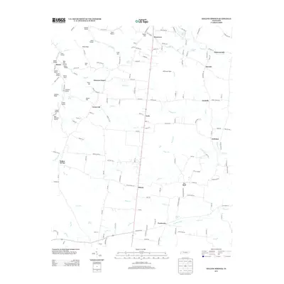
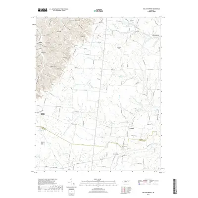
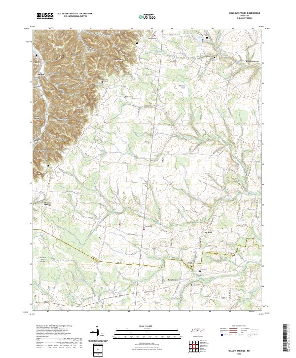 2022 Hollow Springs2022 Print · USGSMiddle Tennessee’s highlands meet the valley floor in the early 2020s, showing a landscape of family-run farms and ridge-top settlements. Researchers can locate ancestral sites like Wildwood Mill, Hopewell Cem, and the community of Hollow Springs.
End of results
Showing maps 1-11 of 11
Top cities near Midway
- Manchester historical maps
- Woodbury historical maps
- Morrison historical maps
- Centertown historical maps
- Normandy historical maps
- Viola historical maps
Frequently asked questions
- What are the different types of historical maps available for Midway?
- What is the oldest map of Midway?
- Where can I purchase historical maps of Midway for my home or office?
- Where can I download high-res historical maps of Midway?
- Are there historical topographic maps available for Midway?
- Is there historical aerial imagery available for Midway?
- Where are historical maps of Midway sourced from?