Old Maps of Robison, Tennessee for Academic Research
Study the evolution of Robison with 10 high-resolution historic maps. Whether you're teaching, researching, or modeling changes in land use, these maps provide essential visual documentation of urban, environmental, and geographic change.
- Analyze long-term change: Track patterns in development, transportation, and natural features.
- Ideal for environmental or urban studies: Support academic projects with primary historical map data.
- Use in the classroom or lab: Educators and researchers rely on these maps to bring historical context to life.
These maps are a powerful tool for teaching, research, and visualizing how Robison has changed over the decades.
Robison, TN maps
(10)- 1936 Map of Seventeen Creek
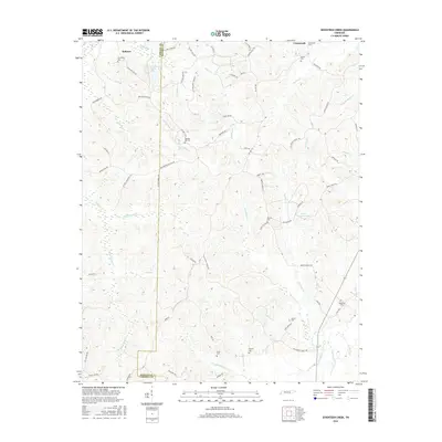
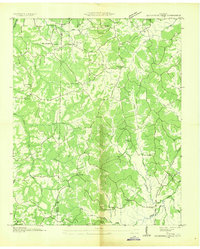 1936 Seventeen Creek1936 Print · USGSBenton and Carroll counties appear here in the mid-1930s, showing a rural landscape defined by creek-side farming and small family settlements. Researchers can locate early schools and churches including Nole Sch, Palestine Ch, and the burial grounds at Pierce Cem.
 - 1950 Map of Seventeen Creek, 1953 Print
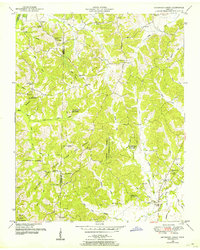 1950 Seventeen Creek1953 Print · USGSThe wooded borderlands of Carroll and Benton counties are captured here in the early fifties, a landscape defined by the Natchez Trace State Park and Forest. Genealogists can locate family landmarks like Friendship Cem and Abbott Cem alongside rural schools like Carroll Sch.4 unique versions available
 - 1956 Map of Blytheville, 1964 Print
 1956 Blytheville1964 Print · USGSWest Tennessee and the Arkansas Delta come alive in this mid-century survey of the river-and-rail corridor connecting Memphis to Jackson. Genealogists and historians can trace the rail lines of the Louisville and Nashville RR and locate landmarks like Western State Hospital or Fort Pillow State Prison Farm.2 unique versions available
 - 1959 Map of Blytheville
 1959 Blytheville1959 Print · USGSWest Tennessee and Northeast Arkansas meet along the river in the late fifties, during a period of steady industrial and agricultural growth. Genealogists can trace the rail corridors of the Illinois Central through Jackson or explore landmarks like Shiloh National Military Park and Fort Pillow State Prison.
 - 1986 Map of Milan
 1986 Milan1986 Print · USGSWest Tennessee in the mid-eighties shows a landscape defined by industrial military sites and expansive state forests. Trace the rail lines of the Seaboard System RR, locate the Milan Arsenal, or explore the protected lands of Natchez Trace State Forest.2 unique versions available
 - 2010 Map of Seventeen Creek, 2010 Print
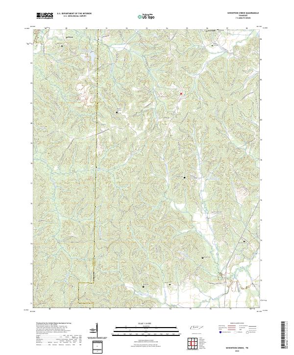
 2010 Seventeen Creek2010 Print · USGSCovers Robison, including Pond Branch, Pleasant Hill, and other nearby areas
 - 2013 Map of Seventeen Creek, 2013 Print
 2013 Seventeen Creek2013 Print · USGSCovers Robison, including Pond Branch, Pleasant Hill, and other nearby areas
 - 2016 Map of Seventeen Creek, 2016 Print
 2016 Seventeen Creek2016 Print · USGSCovers Robison, including Pond Branch, Pleasant Hill, and other nearby areas
 - 2019 Map of Seventeen Creek, 2019 Print
 2019 Seventeen Creek2019 Print · USGSCovers Robison, including Pond Branch, Pleasant Hill, and other nearby areas
 - 2022 Map of Seventeen Creek, 2022 Print
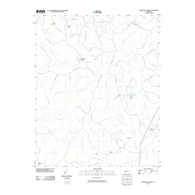
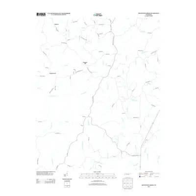
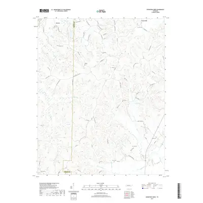
 2022 Seventeen Creek2022 Print · USGSBenton and Carroll counties appear here in the early twenty-first century, showcasing a landscape of dense creek systems and rural family landmarks. Researchers can trace historic pathways like the Old Natchez Trace Trail or locate ancestral sites at Pleasant Hill Cemetery and Liberty Cemetery.
End of results
Showing maps 1-10 of 10
Top cities near Robison
- Huntingdon historical maps
- Camden historical maps
- Bruceton historical maps
- Hollow Rock historical maps
- Henry historical maps
- Big Sandy historical maps
See more
Frequently asked questions
- What are the different types of historical maps available for Robison?
- What is the oldest map of Robison?
- Where can I purchase historical maps of Robison for my home or office?
- Where can I download high-res historical maps of Robison?
- Are there historical topographic maps available for Robison?
- Is there historical aerial imagery available for Robison?
- Where are historical maps of Robison sourced from?