
1936 Map of Seventeen Creek
USGS Topo · Published 1936About this map
Big Sandy River Drainage Ditch and its intricate network of tributaries define the landscape of this 1930s rural area straddling the border of Carroll and Benton counties. The map captures a moment in Tennessee's history just as the Tennessee Valley Authority began extensive regional planning. The settlement pattern is characterized by scattered small communities and family farmsteads such as Robison, Lyle, and Smothers, rather than concentrated towns.
Find a feature on this map
45 named features on this map. Tap any name to fly to it.
Don’t see what you’re looking for? This feature index may not catch every label — zoom into the map to look around manually.
Map Details
Editions of this 1936 Seventeen Creek Map
This is the sole edition of this map. No revisions or reprints were ever made.
Other maps of this area

1936 · Yuma
USGS Topo · 1:24,000

1936 · Camden
USGS Topo · 1:24,000

1936 · Vale
USGS Topo · 1:24,000

1936 · Bruceton
USGS Topo · 1:24,000

1936 · Sugar Tree
USGS Topo · 1:24,000

1936 · Cavvia
USGS Topo · 1:24,000

1936 · Buena Vista
USGS Topo · 1:24,000

1936 · Rockport
USGS Topo · 1:24,000
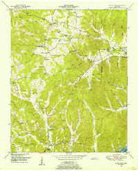
1949 · Sugar Tree
USGS Topo · 1:24,000
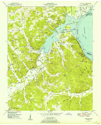
1950 · Rockport
USGS Topo · 1:24,000