Old Maps of Boynton Valley, Tennessee for Hiking & Exploration
Hike through history with 12 historic maps of Boynton Valley. Explore old trails, ghost towns, and forgotten backroads — perfect for outdoor adventurers and local explorers.
- Rediscover forgotten places: Map out old mining camps, roads, and footpaths that no longer exist on modern maps.
- Layer with modern tools: Combine with LiDAR or satellite views to plan hikes through historical terrain.
- Made for exploration: Popular among hikers, overlanders, and local history lovers.
Use these maps to find adventure and explore the hidden past of Boynton Valley.
Boynton Valley, TN maps
(12)- 1913 Map of Hollow Springs
 1913 Hollow Springs1913 Print · USGSThe Tennessee highland plateau meets the Central Basin in the years before the Great War, showing a landscape of family-run stores and district schools. Genealogists can trace ancestral homes near Hollow Springs, Patmos Chapel, and the McMahan School district.4 unique versions available
 - 1936 Map of Noah
 1936 Noah1936 Print · USGSCoffee County and the Bedford border are captured here in the mid-1930s as rural life centered on the forks and ridges. Genealogists can locate family burial grounds like Alley Cem and Riley Creek Cem or local school sites such as Model Sch and Beech Grove Sch.
 - 1943 Map of Mc Minnville, 1944 Print
 1943 Mc Minnville1944 Print · USGSMid-Tennessee is captured here during the mobilization of the early 1940s, showing the vast Camp Forrest Military Reservation and thriving rail towns. Trace the N C & ST L line through Mcminnville or locate smaller rural hubs like Morrison and Hickerson Station.
 - 1956 Map of Noah, 1958 Print
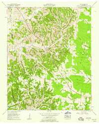 1956 Noah1958 Print · USGSIn the mid-1950s, this area of Coffee County was defined by the winding hollows of the Highland Rim and the corridor of the Dixie Highway West. Researchers can trace old family sites at Wisers Bluff Cem, visit the settlement at Noah, or locate the historic Old Grove Ch.2 unique versions available
 - 1956 Map of Columbia, 1960 Print
 1956 Columbia1960 Print · USGSMiddle Tennessee in the mid-fifties presents a landscape of established river towns and critical rail hubs before the arrival of the modern interstate system. Researchers can trace the routes of the Louisville and Nashville railroad or locate historic landmarks like Stones River National Military Park and the Tennessee National Wildlife Refuge.6 unique versions available
 - 1976 Map of Noah, 1978 Print
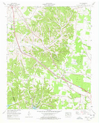 1976 Noah1978 Print · USGSCoffee County and the Bedford County line are captured in the late seventies, showing a landscape defined by small farming communities and family homesteads. Researchers can trace ancestral locations through several family-named landmarks like McMichael Cem, Huffman Spring, and the Noah Fork Ch.
 - 1985 Map of Murfreesboro, 1986 Print
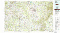 1985 Murfreesboro1986 Print · USGSMiddle Tennessee in the mid-1980s shows a landscape of growing towns and deep-rooted rural outposts. Local researchers can trace old family lines near Bell Buckle, locate landmarks like Donnel Chapel, or explore the grounds of Henry Horton State Park and Hoovers Gap.
 - 2010 Map of Noah, 2010 Print
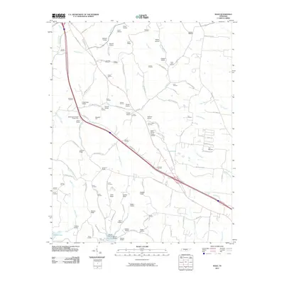 2010 Noah2010 Print · USGSCoffee County remains a landscape of deep family roots and named hollows at the start of the 21st century. Genealogists can locate numerous family burial grounds, from Hurricane Cemetery to the Sartain Cemetery, near the rural settlement of Sixteenth Model.
 - 2013 Map of Noah, 2013 Print
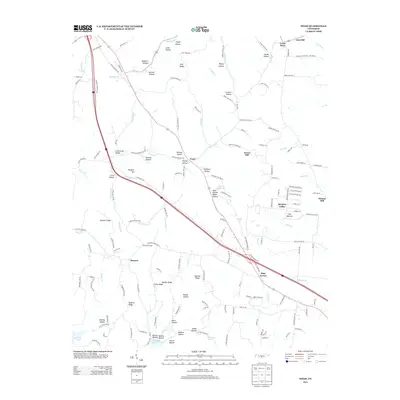 2013 Noah2013 Print · USGSCoffee County remains a landscape of deep hollows and family-named ridges in the early twenty-first century. Genealogists and local historians can trace the areas surrounding Noah, Gnat Hill, and Strauss Mill, or locate landmarks like Lewis Store and The Barrens.
 - 2016 Map of Noah, 2016 Print
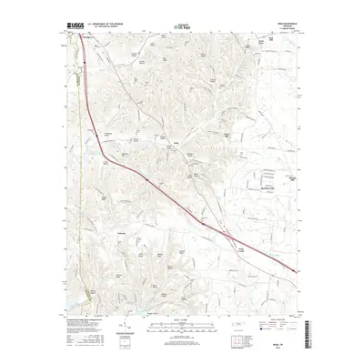 2016 Noah2016 Print · USGSCoffee and Bedford counties meet in this Tennessee portrait from the 2010s. Researchers can trace numerous family burial sites like Wisers Bluff Cem and Hurricane Cem, alongside rural landmarks such as Lewis Store and Strauss Mill.
 - 2019 Map of Noah, 2019 Print
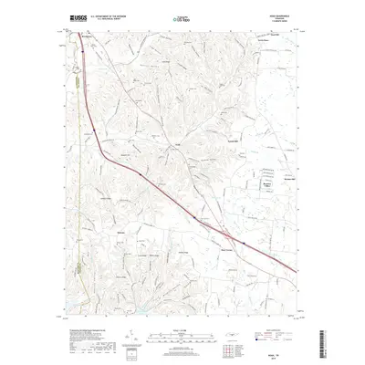 2019 Noah2019 Print · USGSNear the Coffee and Bedford county line in the late 2010s, this rural landscape reveals a network of historic family cemeteries and small crossroads settlements. Researchers can locate ancestral sites like Beech Grove Cem and Hurricane Cem while tracing the old paths through Boynton Valley and Noah.
 - 2022 Map of Noah, 2022 Print
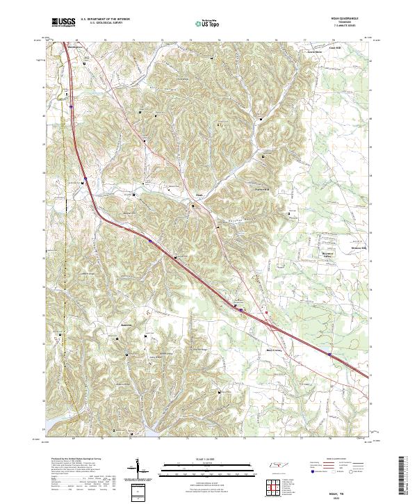 2022 Noah2022 Print · USGSCoffee and Bedford Counties are depicted here as a network of ridges and hollows in the early twenty-first century. Researchers can trace family history through dozens of rural burial sites like Wisers Bluff Cem and local crossroads such as Busy Corner and Strauss Mill.
End of results
Showing maps 1-12 of 12
Top cities near Boynton Valley
- Murfreesboro historical maps
- Tullahoma historical maps
- Manchester historical maps
- Morrison historical maps
- Wartrace historical maps
- Bell Buckle historical maps
See more
Frequently asked questions
- What are the different types of historical maps available for Boynton Valley?
- What is the oldest map of Boynton Valley?
- Where can I purchase historical maps of Boynton Valley for my home or office?
- Where can I download high-res historical maps of Boynton Valley?
- Are there historical topographic maps available for Boynton Valley?
- Is there historical aerial imagery available for Boynton Valley?
- Where are historical maps of Boynton Valley sourced from?