Old Maps of Hillcrest, Tennessee for Genealogy
Trace your family roots with 12 historic maps of Hillcrest. These high-res maps reveal old neighborhoods, homesites, landmarks, and streets — helping you uncover where your ancestors lived and how the area evolved over time.
- Explore historic neighborhoods: Identify where your relatives may have lived in the 1800s or 1900s.
- Compare maps over time: Trace the changes in streets, buildings, and landmarks for multi-generational research.
- Perfect for genealogy & ancestry research: Used by family historians and researchers to map out lineage and migration.
These maps are an incredible resource for exploring your personal connection to Hillcrest's past.
Hillcrest, TN maps
(12)- 1936 Map of Manchester
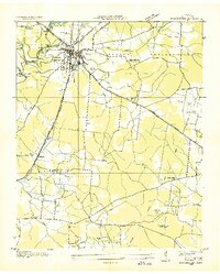 1936 Manchester1936 Print · USGSCoffee County during the mid-1930s shows a landscape of river-fed industry and deep history near the Old Stone Fort. Genealogists can trace family names at Hickerson Cem or locate rural landmarks like Logan Chapel Sch and Belmont.
 - 1941 Map of Manchester, 1943 Print
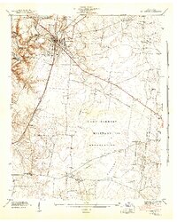 1941 Manchester1943 Print · USGSCoffee County is captured during a period of massive change as the military arrives in the early 1940s. Genealogists and historians can trace the rural landscape before the base expansion, locating family landmarks like Hickerson Cem, Old Stone Fort, and Seminary Hill Sch.3 unique versions available
 - 1943 Map of Mc Minnville, 1944 Print
 1943 Mc Minnville1944 Print · USGSMid-Tennessee is captured here during the mobilization of the early 1940s, showing the vast Camp Forrest Military Reservation and thriving rail towns. Trace the N C & ST L line through Mcminnville or locate smaller rural hubs like Morrison and Hickerson Station.
 - 1956 Map of Columbia, 1960 Print
 1956 Columbia1960 Print · USGSMiddle Tennessee in the mid-fifties presents a landscape of established river towns and critical rail hubs before the arrival of the modern interstate system. Researchers can trace the routes of the Louisville and Nashville railroad or locate historic landmarks like Stones River National Military Park and the Tennessee National Wildlife Refuge.6 unique versions available
 - 1963 Map of Manchester, 1965 Print
 1963 Manchester1965 Print · USGSManchester and central Tennessee appear in the early sixties as a mix of ancient landmarks and modern aerospace research. Trace the development of the Arnold Engineering Development Center alongside historic sites like the Old Stone Fort and Red Hill Ch.
 - 1972 Map of Manchester, 1974 Print
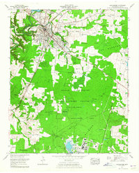
 1972 Manchester1974 Print · USGSManchester and its surrounding Coffee County highlands are captured in the early seventies, just before the landscape changed with the damming of the river. Researchers can trace family sites like Granny Hickerson Cem, explore the prehistoric Old Stone Fort State Park, or locate the extensive Arnold Engineering Development Center.4 unique versions available
 - 1981 Map of Tullahoma, 1982 Print
 1981 Tullahoma1982 Print · USGSSouthern Tennessee enters the 1980s with a mix of aerospace technology and deep rural roots. Researchers can trace the L & N RR through Shelbyville and Fayetteville or locate family sites like Old Salem Cem and Blanton Chapel near the Cumberland Plateau.
 - 2010 Map of Manchester, 2010 Print
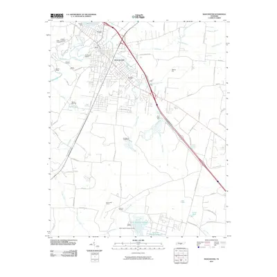 2010 Manchester2010 Print · USGSCovers Hillcrest, including Tullahoma, Manchester, and other nearby areas
 - 2013 Map of Manchester, 2013 Print
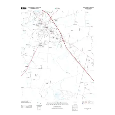 2013 Manchester2013 Print · USGSCovers Hillcrest, including Tullahoma, Manchester, and other nearby areas
 - 2016 Map of Manchester, 2016 Print
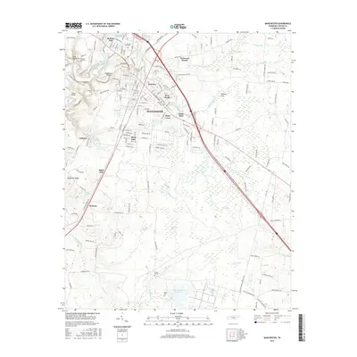 2016 Manchester2016 Print · USGSCovers Hillcrest, including Tullahoma, Manchester, and other nearby areas
 - 2019 Map of Manchester, 2019 Print
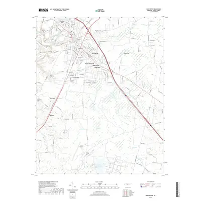 2019 Manchester2019 Print · USGSCovers Hillcrest, including Tullahoma, Manchester, and other nearby areas
 - 2022 Map of Manchester, 2022 Print
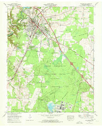
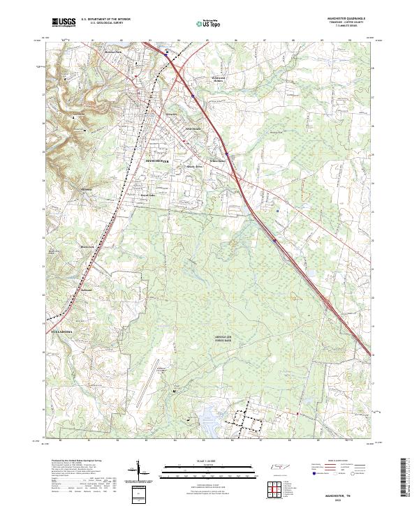 2022 Manchester2022 Print · USGSManchester is shown in detail during the early 2020s, highlighting its growth along the Little Duck River and the expanding suburbs. Researchers can find old family landmarks and burial sites like Granny Hickerson Cem and Chapel Hill Cem near the Arnold Air Force Base boundary.
End of results
Showing maps 1-12 of 12
Top cities near Hillcrest
- Tullahoma historical maps
- Manchester historical maps
- Winchester historical maps
- Estill Springs historical maps
- Decherd historical maps
- Monteagle historical maps
See more
Frequently asked questions
- What are the different types of historical maps available for Hillcrest?
- What is the oldest map of Hillcrest?
- Where can I purchase historical maps of Hillcrest for my home or office?
- Where can I download high-res historical maps of Hillcrest?
- Are there historical topographic maps available for Hillcrest?
- Is there historical aerial imagery available for Hillcrest?
- Where are historical maps of Hillcrest sourced from?