2000s (21st Century) Maps of Tullahoma, Tennessee
Explore 25 historic maps of Tullahoma from the 2000s (21st Century). These maps offer a rare glimpse into what life looked like during the 2000s — showing old roads, neighborhoods, homes, and landmarks that have changed or disappeared over time.
Whether you're researching your family's past, planning a metal detecting trip, or studying how Tullahoma's landscape evolved across the 2000s, these high-resolution maps are a powerful tool for exploring the history of this region.
- Focus on a specific era: All maps on this page are from the 2000s, giving you a focused view of this time period.
- See what’s changed: Compare century-old streets, trails, and buildings to today's modern landscape using overlays and satellite layers.
- Research with precision: Use these maps for genealogy, historical research, land use analysis, or educational projects.
- View, download, or print: Maps are fully viewable online in high resolution, and can be downloaded or printed for your own records.
Start exploring Tullahoma's history through authentic maps from the 2000s. This is your window into the past.
Tullahoma, TN maps
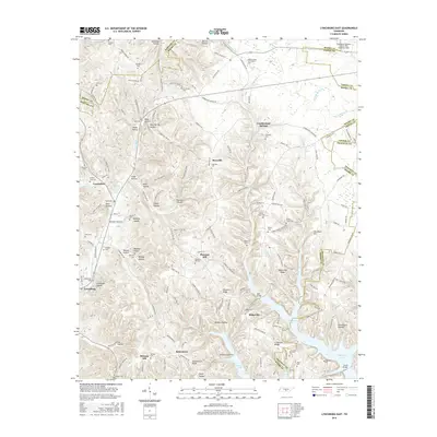
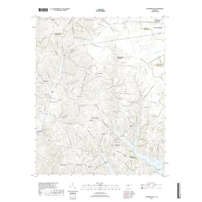
(25)- 2010 Map of Lynchburg East, 2010 Print
 2010 Lynchburg East2010 Print · USGSCovers Tullahoma, including Bakertown, Pleasant Hill, and other nearby areas
 - 2010 Map of Normandy, 2010 Print
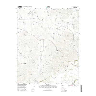
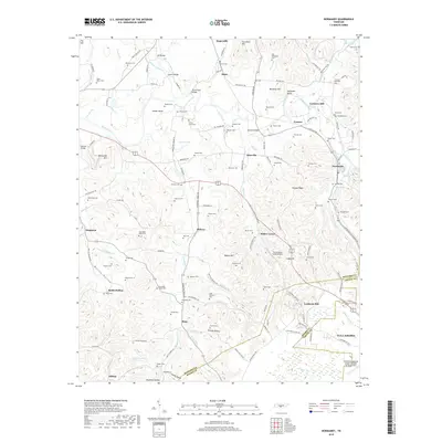
 2010 Normandy2010 Print · USGSCovers Tullahoma, including Normandy, Bottle Hollow, and other nearby areas
 - 2010 Map of Tullahoma, 2010 Print
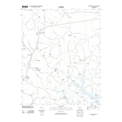
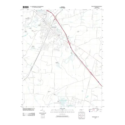
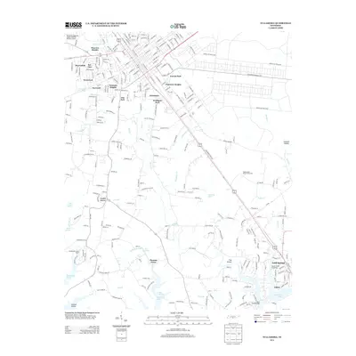
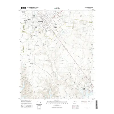
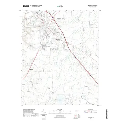
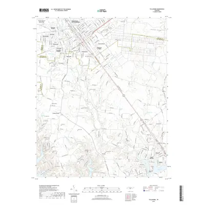
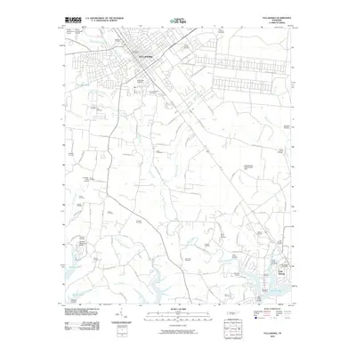 2010 Tullahoma2010 Print · USGSCovers Tullahoma, including Estill Springs, Lakeside Estates, and other nearby areas
 - 2010 Map of Manchester, 2010 Print
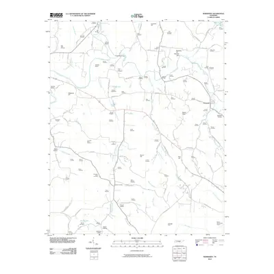
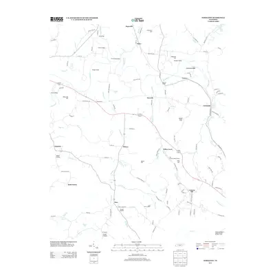
 2010 Manchester2010 Print · USGSCovers Tullahoma, including Manchester, Hillcrest, and other nearby areas
 - 2010 Map of Normandy Lake, 2010 Print
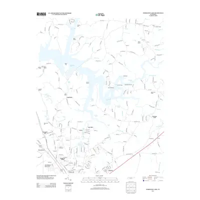
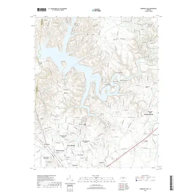
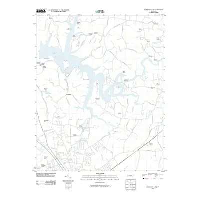 2010 Normandy Lake2010 Print · USGSCovers Tullahoma, including Manchester, Fairview, and other nearby areas
 - 2013 Map of Normandy, 2013 Print
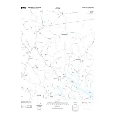
 2013 Normandy2013 Print · USGSCovers Tullahoma, including Normandy, Bottle Hollow, and other nearby areas
 - 2013 Map of Lynchburg East, 2013 Print
 2013 Lynchburg East2013 Print · USGSCovers Tullahoma, including Bakertown, Pleasant Hill, and other nearby areas
 - 2013 Map of Normandy Lake, 2013 Print
 2013 Normandy Lake2013 Print · USGSCovers Tullahoma, including Manchester, Fairview, and other nearby areas
 - 2013 Map of Tullahoma, 2013 Print
 2013 Tullahoma2013 Print · USGSCovers Tullahoma, including Estill Springs, Lakeside Estates, and other nearby areas
 - 2013 Map of Manchester, 2013 Print
 2013 Manchester2013 Print · USGSCovers Tullahoma, including Manchester, Hillcrest, and other nearby areas
 - 2016 Map of Normandy Lake, 2016 Print
 2016 Normandy Lake2016 Print · USGSCovers Tullahoma, including Manchester, Fairview, and other nearby areas
 - 2016 Map of Manchester, 2016 Print
 2016 Manchester2016 Print · USGSCovers Tullahoma, including Manchester, Hillcrest, and other nearby areas
 - 2016 Map of Normandy, 2016 Print
 2016 Normandy2016 Print · USGSCovers Tullahoma, including Normandy, Bottle Hollow, and other nearby areas
 - 2016 Map of Tullahoma, 2016 Print
 2016 Tullahoma2016 Print · USGSCovers Tullahoma, including Estill Springs, Lakeside Estates, and other nearby areas
 - 2016 Map of Lynchburg East, 2016 Print
 2016 Lynchburg East2016 Print · USGSCovers Tullahoma, including Bakertown, Pleasant Hill, and other nearby areas
 - 2019 Map of Normandy Lake, 2019 Print
 2019 Normandy Lake2019 Print · USGSCovers Tullahoma, including Manchester, Fairview, and other nearby areas
 - 2019 Map of Manchester, 2019 Print
 2019 Manchester2019 Print · USGSCovers Tullahoma, including Manchester, Hillcrest, and other nearby areas
 - 2019 Map of Tullahoma, 2019 Print
 2019 Tullahoma2019 Print · USGSCovers Tullahoma, including Estill Springs, Lakeside Estates, and other nearby areas
 - 2019 Map of Lynchburg East, 2019 Print
 2019 Lynchburg East2019 Print · USGSCovers Tullahoma, including Bakertown, Pleasant Hill, and other nearby areas
 - 2019 Map of Normandy, 2019 Print
 2019 Normandy2019 Print · USGSCovers Tullahoma, including Normandy, Bottle Hollow, and other nearby areas
 - 2022 Map of Normandy, 2022 Print
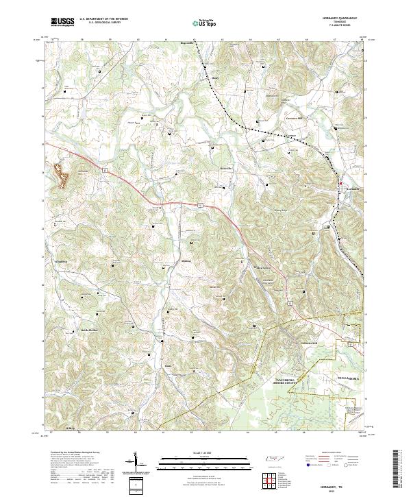 2022 Normandy2022 Print · USGSBedford and Moore County heritage is preserved here in the valley of the Duck River. Genealogists and local historians can trace family roots through dozens of sites like the Shofner Lutheran Cem, Cortners Mill, and Ledfords Mill.
 - 2022 Map of Manchester, 2022 Print
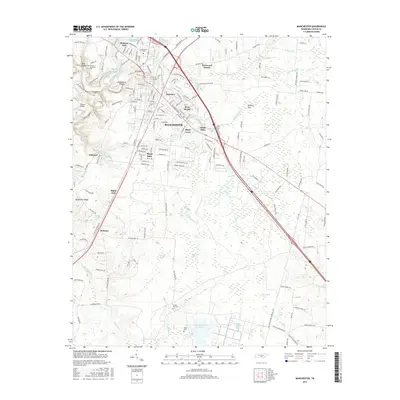
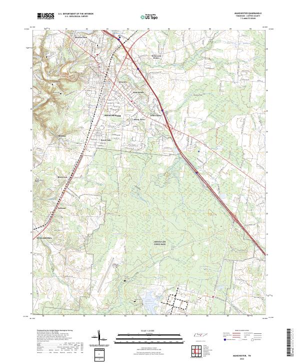 2022 Manchester2022 Print · USGSManchester is shown in detail during the early 2020s, highlighting its growth along the Little Duck River and the expanding suburbs. Researchers can find old family landmarks and burial sites like Granny Hickerson Cem and Chapel Hill Cem near the Arnold Air Force Base boundary.
 - 2022 Map of Lynchburg East, 2022 Print
 2022 Lynchburg East2022 Print · USGSMoore County in the early twenty-first century remains defined by its deep hollows and the historic seat at Lynchburg. Researchers can trace local lineage through numerous family burial sites like Dance Cem or visit the campus of Motlow State Community College.
 - 2022 Map of Tullahoma, 2022 Print
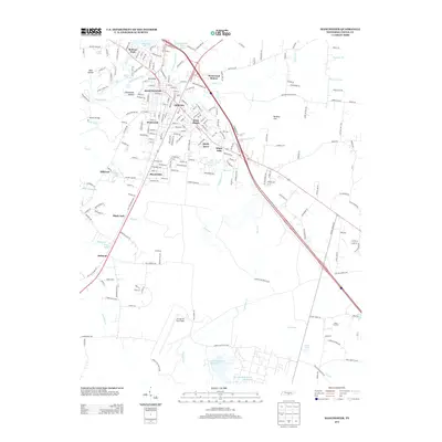
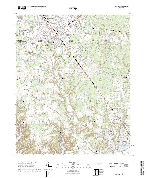 2022 Tullahoma2022 Print · USGSTullahoma and Estill Springs are captured in the early 2020s, revealing a landscape where modern aviation and residential growth meet deep-rooted local history. Genealogists can locate family landmarks like Maplewood Cem, Evergreen Cem, and the historic Camp Forrest Cem near the Elk River.
 - 2022 Map of Normandy Lake, 2022 Print
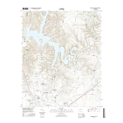
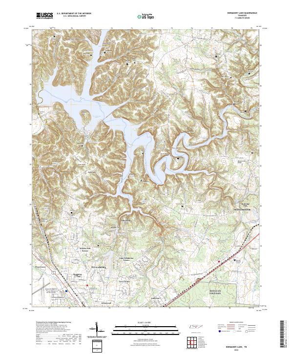 2022 Normandy Lake2022 Print · USGSThe Tennessee highlands between Tullahoma and Manchester are shown here as they appeared in 2022. Researchers can trace numerous family burial sites like Old Redden Cem and Barton Cem, or follow the historic path of the Old Stagecoach Rd.
End of results
Showing maps 1-25 of 25
Top cities near Tullahoma
- Shelbyville historical maps
- Manchester historical maps
- Winchester historical maps
- Estill Springs historical maps
- Decherd historical maps
- Cowan historical maps
See more
Top neighborhoods of Tullahoma
- Johnstown historical maps
- Kaywood historical maps
- Oak Park historical maps
- Sharondale historical maps
- Westside Heights historical maps
- Forrest Park historical maps
See more
Frequently asked questions
- What are the different types of historical maps available for Tullahoma?
- What is the oldest map of Tullahoma?
- Where can I purchase historical maps of Tullahoma for my home or office?
- Where can I download high-res historical maps of Tullahoma?
- Are there historical topographic maps available for Tullahoma?
- Is there historical aerial imagery available for Tullahoma?
- Where are historical maps of Tullahoma sourced from?