2010s Maps of DeKalb County, Tennessee
Explore 48 historic maps of DeKalb County from the 2010s. These maps offer a rare glimpse into what life looked like during the 2010s — showing old roads, neighborhoods, homes, and landmarks that have changed or disappeared over time.
Whether you're researching your family's past, planning a metal detecting trip, or studying how DeKalb County's landscape evolved across the 2010s, these high-resolution maps are a powerful tool for exploring the history of this region.
- Focus on a specific era: All maps on this page are from the 2010s, giving you a focused view of this time period.
- See what’s changed: Compare century-old streets, trails, and buildings to today's modern landscape using overlays and satellite layers.
- Research with precision: Use these maps for genealogy, historical research, land use analysis, or educational projects.
- View, download, or print: Maps are fully viewable online in high resolution, and can be downloaded or printed for your own records.
Start exploring DeKalb County's history through authentic maps from the 2010s. This is your window into the past.
DeKalb County, TN maps
(48)- 2010 Map of Auburntown, 2010 Print
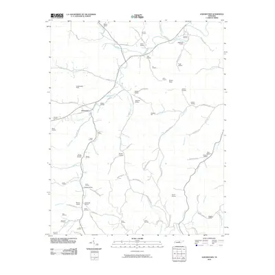 2010 Auburntown2010 Print · USGSAuburntown and its surrounding rural hollows are captured in this recent survey of Cannon County. Genealogists can trace family heritage through numerous burial sites like Kennedy Cemetery and landmarks such as Fodderstack Knob and Saunders Fork.
 - 2010 Map of Dibrell, 2010 Print
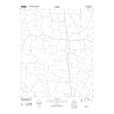 2010 Dibrell2010 Print · USGSWarren County at the dawn of the 2010s reveals a deeply personal landscape of family farms and creek-side settlements. Genealogists can trace family footprints through numerous burial sites like Holders Cemetery and Kirby Cemetery or along the banks of Right Fork Dry Branch.
 - 2010 Map of Sligo Bridge, 2010 Print
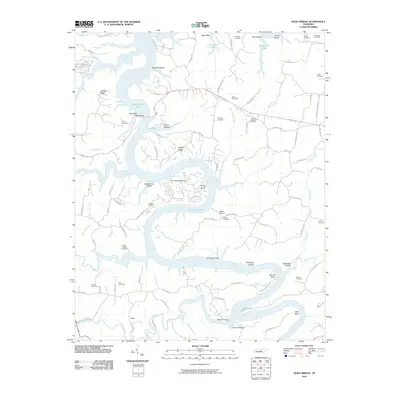 2010 Sligo Bridge2010 Print · USGSIn the central Tennessee highlands during the early 21st century, the waters of Center Hill Lake wind through a landscape of deep hollows and family cemeteries. Genealogists and researchers can trace local roots at Peeled Chestnut Cemetery or locate old landings like Sligo Dock.
 - 2010 Map of Campaign, 2010 Print
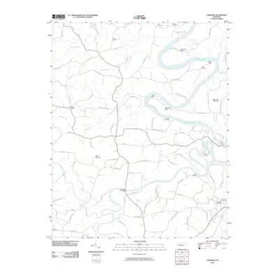 2010 Campaign2010 Print · USGSThe Collins River valley and its confluence with the Caney Fork are captured in this 2010 study of the Tennessee interior. Genealogists can locate family landmarks like White Cemetery and Wright Cemetery, or trace the settlement at Campaign Post Office.
 - 2010 Map of Gassaway, 2010 Print
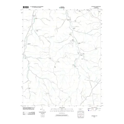 2010 Gassaway2010 Print · USGSThe hollows and ridges of DeKalb County are captured here during the early twenty-first century. Genealogists and historians can trace family roots through numerous cemeteries and landmarks like Braswell Cemetery, Fuson Cemetery, and Indian Grave Point.
 - 2010 Map of Smithville, 2010 Print
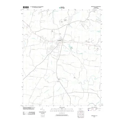 2010 Smithville2010 Print · USGSSmithville and the surrounding DeKalb County countryside are shown here as they appeared in 2010, at the edge of Center Hill Lake. Researchers can trace dozens of family landmarks and local sites, from Allens Chapel and Evins Mill Pond to the cascades of Cul-car-mac Falls.
 - 2010 Map of Short Mountain, 2010 Print
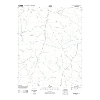 2010 Short Mountain2010 Print · USGSThe Tennessee highlands take center stage in the first decade of the new millennium, showcasing a landscape of high ridges and deep hollows. Genealogists and historians can locate numerous family burial sites such as Preston Cemetery and Melton Cemetery, alongside landmarks like Osment Chapel.
 - 2010 Map of Alexandria, 2010 Print
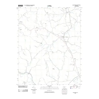 2010 Alexandria2010 Print · USGSThe rural communities of Middle Tennessee are captured here as they appeared in the early 21st century. Genealogists can locate numerous burial sites such as Grandstaff Cemetery and Allen Cemetery or trace landmarks like Holmes Gap and Round Top Knob.
 - 2010 Map of Buffalo Valley, 2010 Print
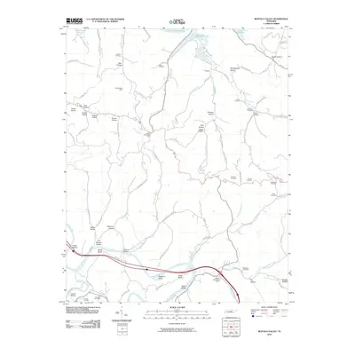 2010 Buffalo Valley2010 Print · USGSSmith County and the surrounding ridges are shown in this modern survey during a period of steady rural persistence. Genealogists can locate family-named landmarks and resting places like Maddux Cemetery, McKinley Cemetery, and the community of Chestnut Mound Post Office.
 - 2010 Map of Liberty, 2010 Print
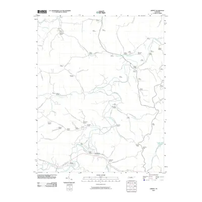 2010 Liberty2010 Print · USGSDeKalb County’s rural valleys are meticulously detailed in the early twenty-first century as Liberty and Dowelltown remain the area's focal points. Genealogists can trace family heritage through numerous sites like Blue Cemetery, Stokes Cemetery, and Oakley Hollow.
 - 2010 Map of Silver Point, 2010 Print
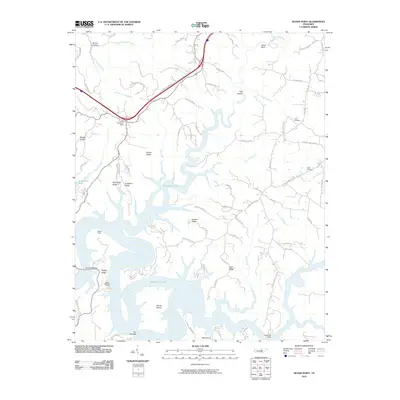 2010 Silver Point2010 Print · USGSDeKalb County is defined by the intersection of high Tennessee ridges and the waters of the Caney Fork River system in the early twenty-first century. Researchers can trace family history at Judd Cemetery or explore the geography of Davies Island and The Narrows.
 - 2010 Map of Center Hill Dam, 2010 Print
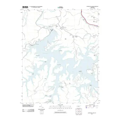 2010 Center Hill Dam2010 Print · USGSDeKalb County’s intricate shoreline and highland ridges are captured here in the late 2000s, centered on the engineering of the Center Hill Dam. Researchers can locate numerous family burial sites such as Paige Cemetery and Love Cemetery tucked between coves like Wildcat Hollow.
 - 2013 Map of Buffalo Valley, 2013 Print
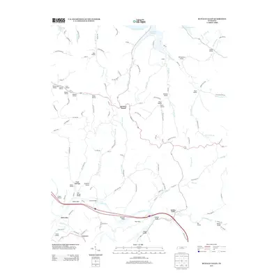 2013 Buffalo Valley2013 Print · USGSSmith County is shown in detail during the early twenty-first century as the Caney Fork river meanders toward the Cordell Hull Reservoir. Local historians can trace family-named hollows and small settlements like Chestnut Mound, Enigma, and Buffalo Valley.
 - 2013 Map of Silver Point, 2013 Print
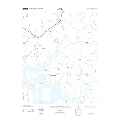 2013 Silver Point2013 Print · USGSDeKalb County’s rugged lakefront comes into focus in this modern era survey of the hills surrounding the sprawling Center Hill Lake. Genealogists and local historians can trace the roads connecting Williams Crossroads, Rock Castle, and Silver Point.
 - 2013 Map of Liberty, 2013 Print
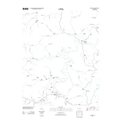 2013 Liberty2013 Print · USGSDeKalb County’s river valleys and ridgelines are captured here in the early twenty-first century, showing the enduring layouts of Liberty and Dowelltown. Researchers can trace family-named terrain like Evans Hollow and Lawrence Hollow or locate the Soggy Bottom Airport near Gin Bluff.
 - 2013 Map of Center Hill Dam, 2013 Print
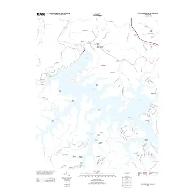 2013 Center Hill Dam2013 Print · USGSDeKalb County’s river landscape is defined by the massive impoundment behind the Center Hill Dam in the early twenty-first century. Researchers can trace local landmarks like Laurel Hill, Stillhouse Hollow, and the Atnip Bluff Cabin Colony.
 - 2013 Map of Gassaway, 2013 Print
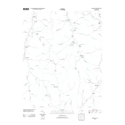 2013 Gassaway2013 Print · USGSThe Tennessee countryside around Gassaway is mapped here during its modern era of rural development. Researchers can trace family-named landmarks through the many hollows or locate the small settlements of Mount Ararat and Bluhmtown.
 - 2013 Map of Smithville, 2013 Print
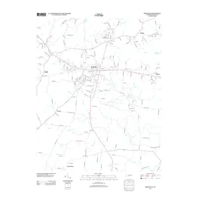 2013 Smithville2013 Print · USGSDeKalb County and the city of Smithville are shown here in the early twenty-first century as the region balanced its rural roots with modern growth. Genealogists and local historians can trace family-named routes and small communities like Blue Springs, Philippi, and Allens Chapel.
 - 2013 Map of Campaign, 2013 Print
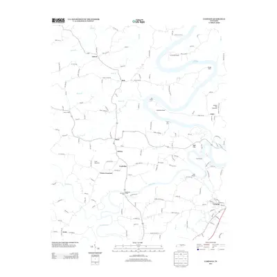 2013 Campaign2013 Print · USGSWarren County’s river valleys and ridgelines are captured here in the early twenty-first century, centered on the Collins River corridor. Genealogists and hikers can locate Moores College, the Hennessee Bridge Ford, and the rugged slopes of Hickory Nut Mountain.
 - 2013 Map of Short Mountain, 2013 Print
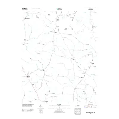 2013 Short Mountain2013 Print · USGSWarren County at the start of the 2010s is characterized by its elevated ridges and scattered rural hamlets. Genealogists and local historians can trace the roads connecting Bratchers Crossroads and Devenport or locate family landmarks like Osment Chapel and Sugar Tree Knob.
 - 2013 Map of Sligo Bridge, 2013 Print
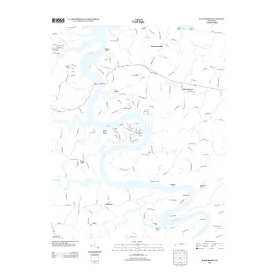 2013 Sligo Bridge2013 Print · USGSThe winding shores of Center Hill Lake define this Tennessee landscape in the early 2010s, where rural tradition meets modern lakeside living. Researchers can trace the layout of historic settlements like Peeled Chestnut or locate the Indian Mound and Hutchins College.
 - 2013 Map of Dibrell, 2013 Print
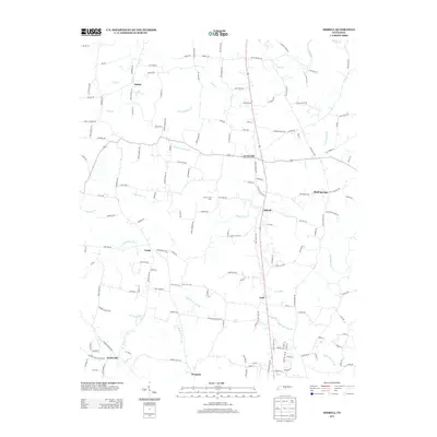 2013 Dibrell2013 Print · USGSNorthern Warren County communities are mapped here in the early twenty-first century, showing the rural layout of the Tennessee interior. Genealogists can trace family-named routes and small settlements like Dibrell, Lucky, and Bluff Springs along Mountain Cr.
 - 2013 Map of Alexandria, 2013 Print
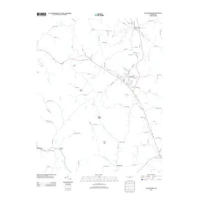 2013 Alexandria2013 Print · USGSUpper Middle Tennessee comes into focus in this modern era survey of the rolling hills and creek valleys east of Nashville. Researchers can trace the legacy of rural settlements through landmarks like Liberty Hill, the community of Brush Creek, and the streets of Alexandria.
 - 2013 Map of Auburntown, 2013 Print
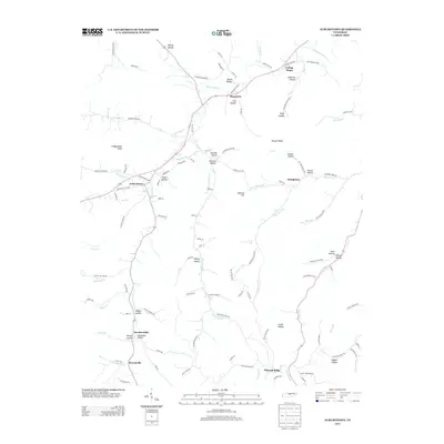 2013 Auburntown2013 Print · USGSAuburntown and its surrounding Tennessee hollows are detailed in this 2010s survey, showing the enduring rural layout of Cannon County. Researchers can trace family-named landmarks and small settlements like Prosperity, Cottage Home, and Brysonville.
 - 2016 Map of Buffalo Valley, 2016 Print
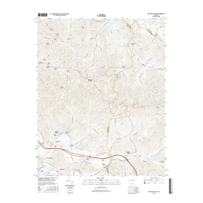 2016 Buffalo Valley2016 Print · USGSUpper Middle Tennessee in the mid-2010s reveals a landscape shaped by the Caney Fork river and the ridges of Smith and Putnam counties. Local historians can trace family roots through numerous sites like Maddux Cem, Laycock Bridge, and the community of Chestnut Mound.
Showing maps 1-25 of 48
Top cities of DeKalb County
- Smithville historical maps
- Alexandria historical maps
- Liberty historical maps
- Dowelltown historical maps
Frequently asked questions
- What are the different types of historical maps available for DeKalb County?
- What is the oldest map of DeKalb County?
- Where can I purchase historical maps of DeKalb County for my home or office?
- Where can I download high-res historical maps of DeKalb County?
- Are there historical topographic maps available for DeKalb County?
- Is there historical aerial imagery available for DeKalb County?
- Where are historical maps of DeKalb County sourced from?