Old Maps of Hays, Tennessee for Genealogy
Trace your family roots with 11 historic maps of Hays. These high-res maps reveal old neighborhoods, homesites, landmarks, and streets — helping you uncover where your ancestors lived and how the area evolved over time.
- Explore historic neighborhoods: Identify where your relatives may have lived in the 1800s or 1900s.
- Compare maps over time: Trace the changes in streets, buildings, and landmarks for multi-generational research.
- Perfect for genealogy & ancestry research: Used by family historians and researchers to map out lineage and migration.
These maps are an incredible resource for exploring your personal connection to Hays's past.
Hays, TN maps
(11)- 1949 Map of Moscow, 1964 Print
 1949 Moscow1964 Print · USGSFayette County in the late nineteen-forties was a landscape of rail-centered commerce and deeply rooted rural communities. Genealogists and historians can trace numerous family-named landmarks and institutions, from the Fayette Co Training Sch to settlements like Moscow and Hays Crossing.
 - 1956 Map of Blytheville, 1964 Print
 1956 Blytheville1964 Print · USGSWest Tennessee and the Arkansas Delta come alive in this mid-century survey of the river-and-rail corridor connecting Memphis to Jackson. Genealogists and historians can trace the rail lines of the Louisville and Nashville RR and locate landmarks like Western State Hospital or Fort Pillow State Prison Farm.2 unique versions available
 - 1959 Map of Blytheville
 1959 Blytheville1959 Print · USGSWest Tennessee and Northeast Arkansas meet along the river in the late fifties, during a period of steady industrial and agricultural growth. Genealogists can trace the rail corridors of the Illinois Central through Jackson or explore landmarks like Shiloh National Military Park and Fort Pillow State Prison.
 - 1965 Map of Moscow, 1966 Print
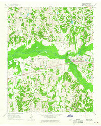 1965 Moscow1966 Print · USGSFayette County's rural crossroads and river bottoms are captured here in the mid-sixties, centered on the rail-and-river hub of Moscow. Genealogists can trace family landmarks and rural congregations like Bethlehem Ch, Hensley Cem, and Hays Crossing.
 - 1968 Map of Moscow
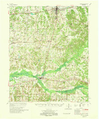 1968 Moscow1968 Print · USGSSouthern Fayette County in the late sixties reveals a landscape shaped by the Wolf River and the Southern railroad. Genealogists can trace family roots through numerous local landmarks like Corner Sch, Ebenezer Ch, and the Old State Line.
 - 1986 Map of Memphis East
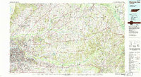 1986 Memphis East1986 Print · USGSWest Tennessee in the mid-eighties shows the meeting point of Memphis suburban growth and the deep bottomlands of the Hatchie River. Genealogists and historians can trace rail-town development along the Southern Railway and locate major landmarks like Ames Plantation and the U S Naval Air Station.2 unique versions available
 - 2010 Map of Moscow, 2010 Print
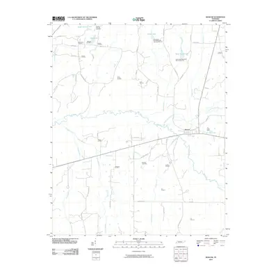 2010 Moscow2010 Print · USGSMoscow and its surrounding Fayette County farmsteads are captured here during the first decade of the millennium. Genealogists and local historians can trace family roots through numerous rural landmarks like Mount Zion Cemetery, Bethlehem Cemetery, and the Wolf River bottomlands.
 - 2013 Map of Moscow, 2013 Print
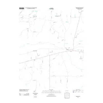 2013 Moscow2013 Print · USGSFayette County at the start of the 2010s reveals a landscape of river bottoms and managed water. Researchers can trace rural settlements at Hays Crossing and Hays, or locate family landmarks like Butch McNabb Lake and the Double W Ranch Lake.
 - 2016 Map of Moscow, 2016 Print
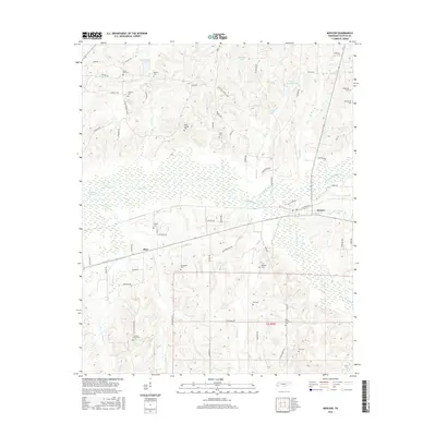 2016 Moscow2016 Print · USGSWest Tennessee rural life is documented here in the mid-2010s, centered on the river bottoms and family settlements of Fayette County. Researchers can locate numerous local landmarks such as Fredonia Cem, Macedonia Cem, and the marshy reaches of Running Slough.
 - 2019 Map of Moscow, 2019 Print
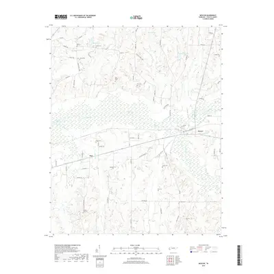 2019 Moscow2019 Print · USGSThe Fayette County countryside near Moscow is captured here in the modern era, showing the confluence of the Wolf River and its North Fork. Genealogists can locate numerous local burial sites like Pleasant Grove Cem and Mount Zion Cem.
 - 2022 Map of Moscow, 2022 Print
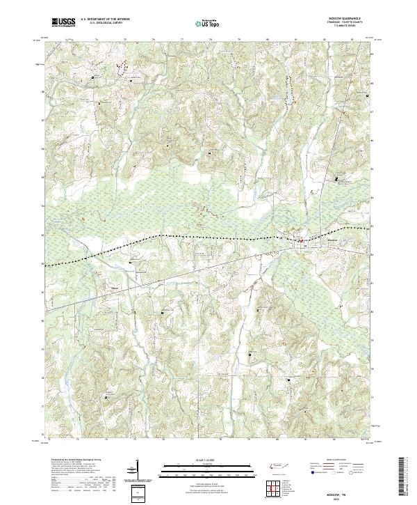 2022 Moscow2022 Print · USGSFayette County's river-bottom lands and rural homesteads are documented in this recent survey. Genealogists and historians can locate numerous family burial sites and country churches, including Bethlehem Cemetery, the Gwyn Family Graveyard, and Hays.
End of results
Showing maps 1-11 of 11
Top cities near Hays
- Memphis historical maps
- Collierville historical maps
- Lakeland historical maps
- Oakland historical maps
- Arlington historical maps
- Somerville historical maps
See more
Frequently asked questions
- What are the different types of historical maps available for Hays?
- What is the oldest map of Hays?
- Where can I purchase historical maps of Hays for my home or office?
- Where can I download high-res historical maps of Hays?
- Are there historical topographic maps available for Hays?
- Is there historical aerial imagery available for Hays?
- Where are historical maps of Hays sourced from?