Old Maps of Cowan, Tennessee for Academic Research
Study the evolution of Cowan with 27 high-resolution historic maps. Whether you're teaching, researching, or modeling changes in land use, these maps provide essential visual documentation of urban, environmental, and geographic change.
- Analyze long-term change: Track patterns in development, transportation, and natural features.
- Ideal for environmental or urban studies: Support academic projects with primary historical map data.
- Use in the classroom or lab: Educators and researchers rely on these maps to bring historical context to life.
These maps are a powerful tool for teaching, research, and visualizing how Cowan has changed over the decades.
Cowan, TN maps
(27)- 1895 Map of Sewanee
 1895 Sewanee1895 Print · USGSThe Cumberland Plateau and Sequatchie Valley come alive in the late nineteenth century, showing a landscape shaped by coal, iron, and the rails. Genealogists and historians can trace family-named coves and industrial sites like the Cowan Tunnel, Beersheba Springs, and the Stone Quarry.6 unique versions available
 - 1928 Map of Decherd
 1928 Decherd1928 Print · USGSFranklin County in the late twenties shows a landscape defined by the rise of the Cumberland Mountains and the busy lines of the Nashville Chattanooga and St Louis Railway. Genealogists can locate family landmarks in Motlow Cove or trace students at Peabody Sch and Hatchett Sch.3 unique versions available
 - 1936 Map of Sewanee
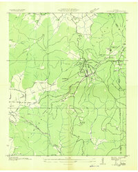 1936 Sewanee1936 Print · USGSThe Cumberland Plateau and the Sewanee campus are captured here in the mid-1930s, showing a unique mountain landscape of academics and industry. Trace family roots at Cherry Cem or follow the path of the Cowan Tunnel and the Kelley Mine.
 - 1936 Map of Winchester
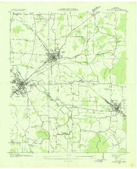 1936 Winchester1936 Print · USGSFranklin County's rail-connected towns of Winchester and Decherd are shown here in the mid-1930s as they transition during the TVA era. Genealogists can trace numerous local landmarks including Pig Trot Sch, Owen Chapel, and the Mc Illhearn Cem.
 - 1946 Map of Sewanee, 1947 Print
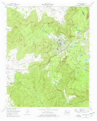
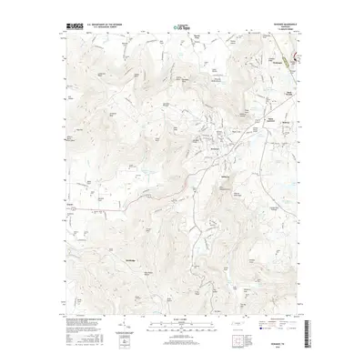
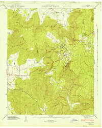 1946 Sewanee1947 Print · USGSSewanee and the surrounding plateau heights are captured here just after the war, showing the deep connection between the university and the mountain. Genealogists and historians can trace rail history at the Cowan Tunnel or locate family plots at Harrison Cem and St Marys Cem.4 unique versions available
 - 1947 Map of Winchester, 1948 Print
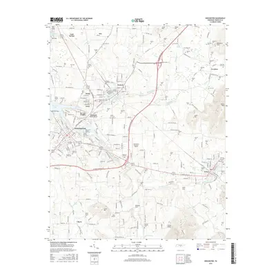
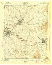 1947 Winchester1948 Print · USGSFranklin County in the late 1940s is captured at a point of industrial and municipal expansion along the Nashville Chattanooga and St Louis railway. Researchers can trace family history through local landmarks like Cedar Bluff Mill, the County Fairgrounds, and numerous cemeteries including Mt Garner Cem.3 unique versions available
 - 1953 Map of Chattanooga
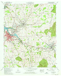
 1953 Chattanooga1953 Print · USGSSoutheast Tennessee in the early fifties shows a landscape reshaped by river management and rail power. Trace the rail lines of the Southern Ry through riverside towns or locate the preserved grounds of the Chickamauga and Chattanooga National Military Park.
 - 1956 Map of Columbia, 1960 Print
 1956 Columbia1960 Print · USGSMiddle Tennessee in the mid-fifties presents a landscape of established river towns and critical rail hubs before the arrival of the modern interstate system. Researchers can trace the routes of the Louisville and Nashville railroad or locate historic landmarks like Stones River National Military Park and the Tennessee National Wildlife Refuge.6 unique versions available
 - 1957 Map of Chattanooga, 1966 Print
 1957 Chattanooga1966 Print · USGSEast Tennessee in the mid-1960s shows a landscape of massive hydroelectric reservoirs and emerging industrial sites like the Atomic Energy Commission (Oak Ridge Area). Trace the rail networks of the Southern Ry through Chattanooga or locate family-named ridges across the Cumberland Plateau.3 unique versions available
 - 1959 Map of Chattanooga
 1959 Chattanooga1959 Print · USGSSoutheast Tennessee is shown here during a decade of industrial growth and hydroelectric development. Trace the regional rail networks of the Southern Ry and find landmark sites like Lookout Mountain, Fall Creek Falls State Park, and Chattanooga.
 - 1960 Map of Chattanooga
 1960 Chattanooga1960 Print · USGSSoutheast Tennessee and the southern Appalachians are shown here at the height of the river-management era. You can trace the valley rail lines and locate Lookout Mountain and the expansive waters of Chickamauga Reservoir.
 - 1964 Map of Chattanooga
 1964 Chattanooga1964 Print · USGSSoutheast Tennessee and the western Carolinas appear in the mid-sixties as a powerhouse of river-driven industry and mountain wilderness. Genealogists and historians can trace rail-town lineages along the Southern Ry or locate family landmarks near Watts Bar Lake and Tellico Plains.
 - 1971 Map of Winchester, 1973 Print
 1971 Winchester1973 Print · USGSFranklin County at the start of the seventies reveals a landscape transformed by the new Tims Ford Lake and steady town growth. Trace the heritage of Winchester and Decherd through local landmarks like Cedar Bluff Mill, Owens Chapel, and the Louisville and Nashville rail lines.
 - 1974 Map of Sewanee, 1977 Print
 1974 Sewanee1977 Print · USGSSewanee and the plateau communities of Franklin County are captured here in the mid-seventies, centered on the University of the South. Researchers can trace old family names and landmarks from Montgomery Cem to the tracks of the Louisville and Nashville Railroad.2 unique versions available
 - 1979 Map of Chattanooga, 1980 Print
 1979 Chattanooga1980 Print · USGSSoutheast Tennessee in the late seventies reveals a landscape shaped by massive TVA river projects and the industrial strength of the Cumberland Plateau. Genealogists and historians can trace the rail-to-river network through L & N RR junctions, the University of the South, and the Volunteer Army Ammunition Plant.
 - 1981 Map of Tullahoma, 1982 Print
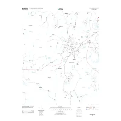
 1981 Tullahoma1982 Print · USGSSouthern Tennessee enters the 1980s with a mix of aerospace technology and deep rural roots. Researchers can trace the L & N RR through Shelbyville and Fayetteville or locate family sites like Old Salem Cem and Blanton Chapel near the Cumberland Plateau.
 - 1988 Map of Chattanooga, 1991 Print
 1988 Chattanooga1991 Print · USGSSoutheast Tennessee at the end of the 1980s reveals a complex landscape of deep river valleys and high coal-rich plateaus. Researchers can trace the legacy of the L & N RR through Tracy City or locate the sprawling Strip Mines near Whitwell.
 - 2010 Map of Sewanee, 2010 Print
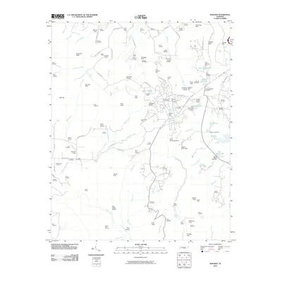 2010 Sewanee2010 Print · USGSCovers Cowan, including Sewanee, Monteagle, and other nearby areas
 - 2010 Map of Winchester, 2010 Print
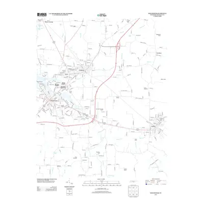
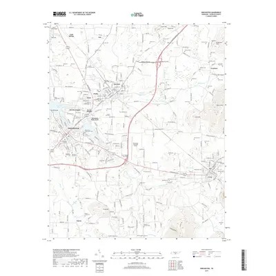
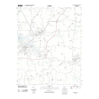 2010 Winchester2010 Print · USGSCovers Cowan, including Winchester, Estill Springs, and other nearby areas
 - 2013 Map of Sewanee, 2013 Print
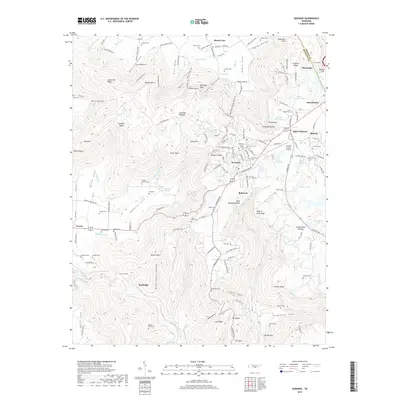
 2013 Sewanee2013 Print · USGSCovers Cowan, including Sewanee, Monteagle, and other nearby areas
 - 2013 Map of Winchester, 2013 Print
 2013 Winchester2013 Print · USGSCovers Cowan, including Winchester, Estill Springs, and other nearby areas
 - 2016 Map of Sewanee, 2016 Print
 2016 Sewanee2016 Print · USGSCovers Cowan, including Sewanee, Monteagle, and other nearby areas
 - 2016 Map of Winchester, 2016 Print
 2016 Winchester2016 Print · USGSCovers Cowan, including Winchester, Estill Springs, and other nearby areas
 - 2019 Map of Winchester, 2019 Print
 2019 Winchester2019 Print · USGSCovers Cowan, including Winchester, Estill Springs, and other nearby areas
 - 2019 Map of Sewanee, 2019 Print
 2019 Sewanee2019 Print · USGSCovers Cowan, including Sewanee, Monteagle, and other nearby areas
Showing maps 1-25 of 27
Top cities near Cowan
- Tullahoma historical maps
- Winchester historical maps
- Sewanee historical maps
- Estill Springs historical maps
- Decherd historical maps
- Monteagle historical maps
See more
Frequently asked questions
- What are the different types of historical maps available for Cowan?
- What is the oldest map of Cowan?
- Where can I purchase historical maps of Cowan for my home or office?
- Where can I download high-res historical maps of Cowan?
- Are there historical topographic maps available for Cowan?
- Is there historical aerial imagery available for Cowan?
- Where are historical maps of Cowan sourced from?