2000s (21st Century) Maps of Gibson County, Tennessee
Explore 90 historic maps of Gibson County from the 2000s (21st Century). These maps offer a rare glimpse into what life looked like during the 2000s — showing old roads, neighborhoods, homes, and landmarks that have changed or disappeared over time.
Whether you're researching your family's past, planning a metal detecting trip, or studying how Gibson County's landscape evolved across the 2000s, these high-resolution maps are a powerful tool for exploring the history of this region.
- Focus on a specific era: All maps on this page are from the 2000s, giving you a focused view of this time period.
- See what’s changed: Compare century-old streets, trails, and buildings to today's modern landscape using overlays and satellite layers.
- Research with precision: Use these maps for genealogy, historical research, land use analysis, or educational projects.
- View, download, or print: Maps are fully viewable online in high resolution, and can be downloaded or printed for your own records.
Start exploring Gibson County's history through authentic maps from the 2000s. This is your window into the past.
Gibson County, TN maps
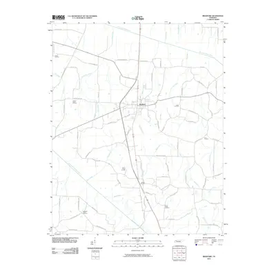
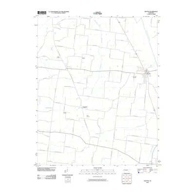
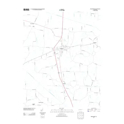
(90)- 2010 Map of Humboldt, 2010 Print
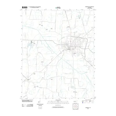 2010 Humboldt2010 Print · USGSCovers Gibson County, including Humboldt, Three Way, and other nearby areas
 - 2010 Map of Dyer, 2010 Print
 2010 Dyer2010 Print · USGSCovers Gibson County, including Trenton, Dyer, and other nearby areas
 - 2010 Map of Atwood, 2010 Print
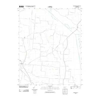
 2010 Atwood2010 Print · USGSCovers Gibson County, including Atwood, Hopewell, and other nearby areas
 - 2010 Map of Spring Creek, 2010 Print
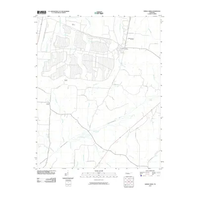 2010 Spring Creek2010 Print · USGSCovers Gibson County, including Spring Creek, Lavinia, and other nearby areas
 - 2010 Map of Bradford, 2010 Print
 2010 Bradford2010 Print · USGSCovers Gibson County, including Bradford, Vaughns Grove, and other nearby areas
 - 2010 Map of Greenfield, 2010 Print
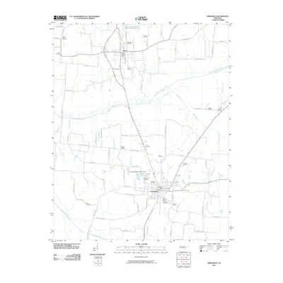 2010 Greenfield2010 Print · USGSCovers Gibson County, including Greenfield, Sharon, and other nearby areas
 - 2010 Map of Alamo, 2010 Print
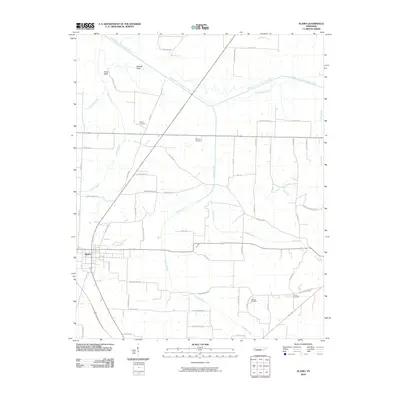 2010 Alamo2010 Print · USGSCovers Gibson County, including Alamo, Liberty Hall, and other nearby areas
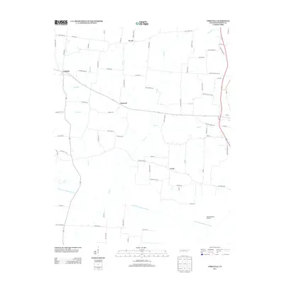
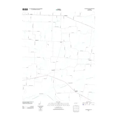
 - 2010 Map of Friendship, 2010 Print
 2010 Friendship2010 Print · USGSCovers Gibson County, including Friendship, Hodson, and other nearby areas
 - 2010 Map of Trezevant West, 2010 Print
 2010 Trezevant West2010 Print · USGSCovers Gibson County, including Trezevant, Gann, and other nearby areas
 - 2010 Map of Trimble, 2010 Print
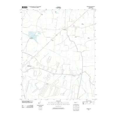
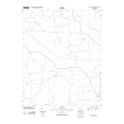
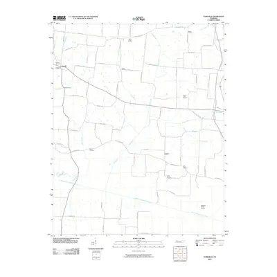
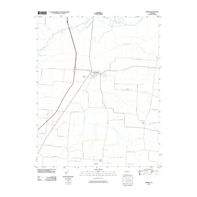 2010 Trimble2010 Print · USGSCovers Gibson County, including Newbern, Obion, and other nearby areas
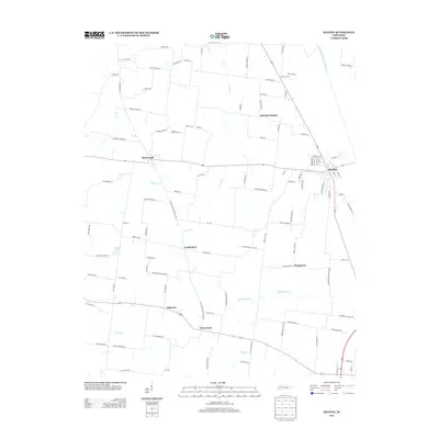
 - 2010 Map of Rutherford, 2010 Print
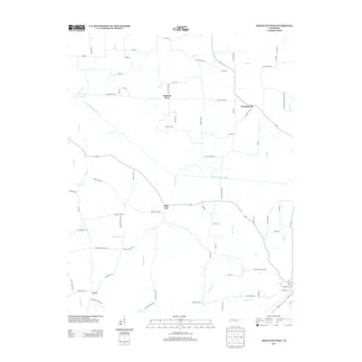
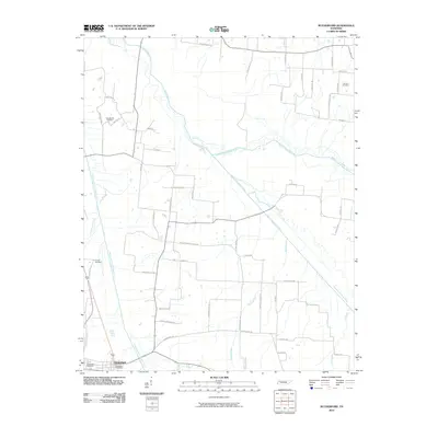 2010 Rutherford2010 Print · USGSCovers Gibson County, including Rutherford, Macedonia, and other nearby areas
 - 2010 Map of Brazil, 2010 Print
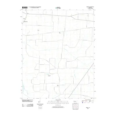 2010 Brazil2010 Print · USGSCovers Gibson County, including Frog Jump, Mount Orange, and other nearby areas
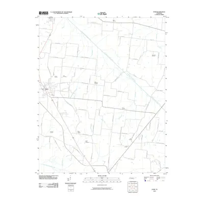
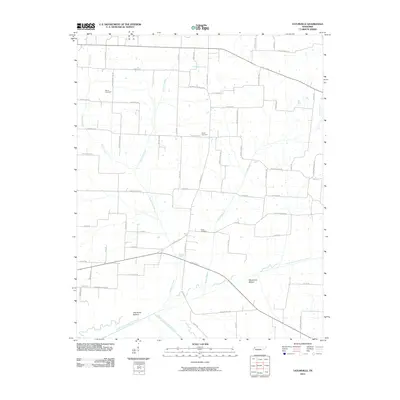
 - 2010 Map of Yorkville, 2010 Print
 2010 Yorkville2010 Print · USGSCovers Gibson County, including Dyer, Rutherford, and other nearby areas
 - 2010 Map of Kenton, 2010 Print
 2010 Kenton2010 Print · USGSCovers Gibson County, including Rutherford, Christian Chapel, and other nearby areas
 - 2010 Map of Trenton, 2010 Print
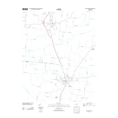
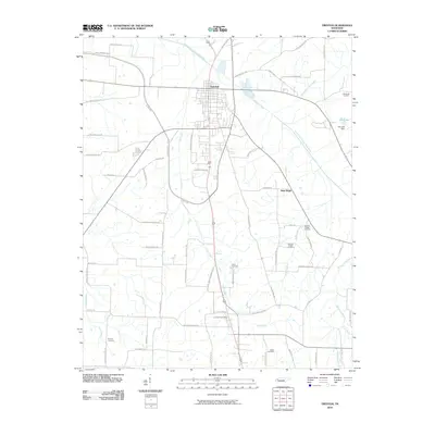 2010 Trenton2010 Print · USGSCovers Gibson County, including Trenton, Edison, and other nearby areas
 - 2010 Map of Medina, 2010 Print
 2010 Medina2010 Print · USGSCovers Gibson County, including Jackson, Humboldt, and other nearby areas
 - 2010 Map of Tatumville, 2010 Print
 2010 Tatumville2010 Print · USGSCovers Gibson County, including Newbern, Yorkville, and other nearby areas
 - 2010 Map of Milan, 2010 Print
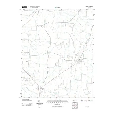
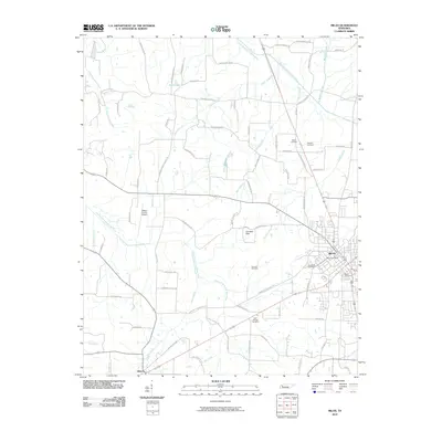 2010 Milan2010 Print · USGSCovers Gibson County, including Gibson, Concord, and other nearby areas
 - 2013 Map of Greenfield, 2013 Print
 2013 Greenfield2013 Print · USGSCovers Gibson County, including Greenfield, Sharon, and other nearby areas
 - 2013 Map of Trezevant West, 2013 Print
 2013 Trezevant West2013 Print · USGSCovers Gibson County, including Trezevant, Gann, and other nearby areas
 - 2013 Map of Bradford, 2013 Print
 2013 Bradford2013 Print · USGSCovers Gibson County, including Bradford, Vaughns Grove, and other nearby areas
 - 2013 Map of Yorkville, 2013 Print
 2013 Yorkville2013 Print · USGSCovers Gibson County, including Dyer, Rutherford, and other nearby areas
 - 2013 Map of Kenton, 2013 Print
 2013 Kenton2013 Print · USGSCovers Gibson County, including Rutherford, Christian Chapel, and other nearby areas
 - 2013 Map of Tatumville, 2013 Print
 2013 Tatumville2013 Print · USGSCovers Gibson County, including Newbern, Yorkville, and other nearby areas
 - 2013 Map of Trimble, 2013 Print
 2013 Trimble2013 Print · USGSCovers Gibson County, including Newbern, Obion, and other nearby areas
Showing maps 1-25 of 90
Top cities of Gibson County
- Humboldt historical maps
- Trenton historical maps
- Dyer historical maps
- Medina historical maps
- Rutherford historical maps
- Bradford historical maps
See more
Frequently asked questions
- What are the different types of historical maps available for Gibson County?
- What is the oldest map of Gibson County?
- Where can I purchase historical maps of Gibson County for my home or office?
- Where can I download high-res historical maps of Gibson County?
- Are there historical topographic maps available for Gibson County?
- Is there historical aerial imagery available for Gibson County?
- Where are historical maps of Gibson County sourced from?