2020s Maps of Gibson County, Tennessee
Explore 18 historic maps of Gibson County from the 2020s. These maps offer a rare glimpse into what life looked like during the 2020s — showing old roads, neighborhoods, homes, and landmarks that have changed or disappeared over time.
Whether you're researching your family's past, planning a metal detecting trip, or studying how Gibson County's landscape evolved across the 2020s, these high-resolution maps are a powerful tool for exploring the history of this region.
- Focus on a specific era: All maps on this page are from the 2020s, giving you a focused view of this time period.
- See what’s changed: Compare century-old streets, trails, and buildings to today's modern landscape using overlays and satellite layers.
- Research with precision: Use these maps for genealogy, historical research, land use analysis, or educational projects.
- View, download, or print: Maps are fully viewable online in high resolution, and can be downloaded or printed for your own records.
Start exploring Gibson County's history through authentic maps from the 2020s. This is your window into the past.
Gibson County, TN maps
(18)- 2022 Map of Brazil, 2022 Print
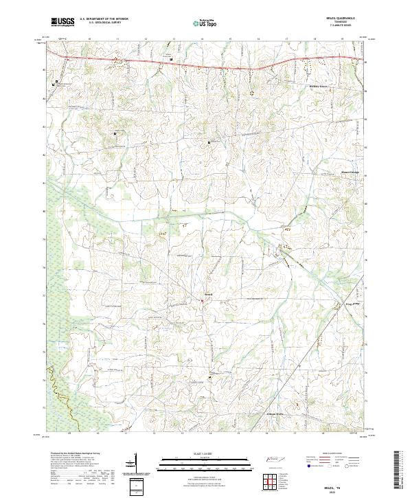 2022 Brazil2022 Print · USGSWestern Tennessee's rural landscape comes alive in this survey of the Gibson and Crockett county borderlands. Researchers can trace family history through local landmarks like Springhill Missionary Baptist Cem, Hickory Grove, and the uniquely named Frog Jump.
 - 2022 Map of Alamo, 2022 Print
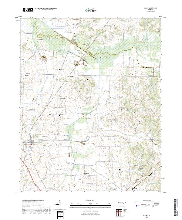 2022 Alamo2022 Print · USGSCrockett County's rural heartland and the county seat of Alamo are documented here in the early twenty-first century. Genealogists and local historians can trace family land and landmarks through numerous sites like Quincy Cem, Mound Field, and the Crockett County Courthouse.
 - 2022 Map of Dyer, 2022 Print
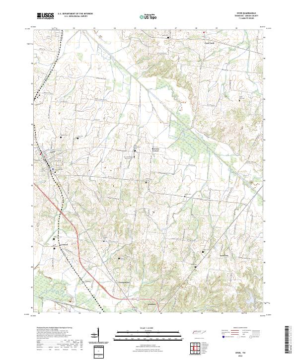 2022 Dyer2022 Print · USGSGibson County at the start of the 2020s shows a landscape of enduring rural communities and family landholdings. Genealogists can trace local roots through numerous sites like Oakwood Cem, Grizzard, and New Bethlehem Memorial Cem.
 - 2022 Map of Greenfield, 2022 Print
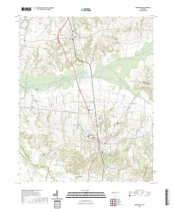 2022 Greenfield2022 Print · USGSWeakley County settlement and the intricate drainage of the Obion River basin are captured here in the early twenty-first century. Genealogists can trace family locations near numerous local burial sites like Highland Cem, Rose Hill Cem, and Old Hall Cem.
 - 2022 Map of Bradford, 2022 Print
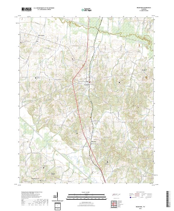 2022 Bradford2022 Print · USGSThe West Tennessee countryside around Bradford is documented here in the early 2020s, showing a landscape defined by the South Fork Obion River. Genealogists can trace family roots through numerous local burial sites including Shiloh Cem, Bruff Cem, and Mount Pisgah Baptist Church Cem.
 - 2022 Map of Rutherford, 2022 Print
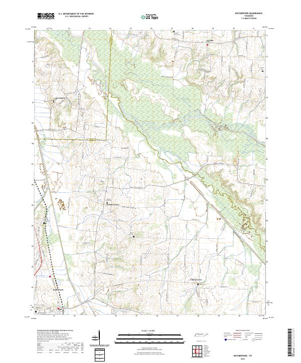 2022 Rutherford2022 Print · USGSWest Tennessee’s river bottomlands and rural communities are captured here in the 2020s. Researchers can locate family landmarks like the Keathley and Peel Family Cem, Beech Grove Cem, and the small settlement of Sidonia.
 - 2022 Map of Trezevant West, 2022 Print
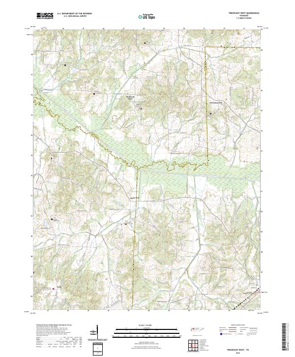 2022 Trezevant West2022 Print · USGSWest Tennessee’s rural landscapes are documented here just after the turn of the twenty-first century. Genealogists can trace family landmarks like the Bland Family Cem and the settlement at Christmasville near the South Fork Obion River.
 - 2022 Map of Tatumville, 2022 Print
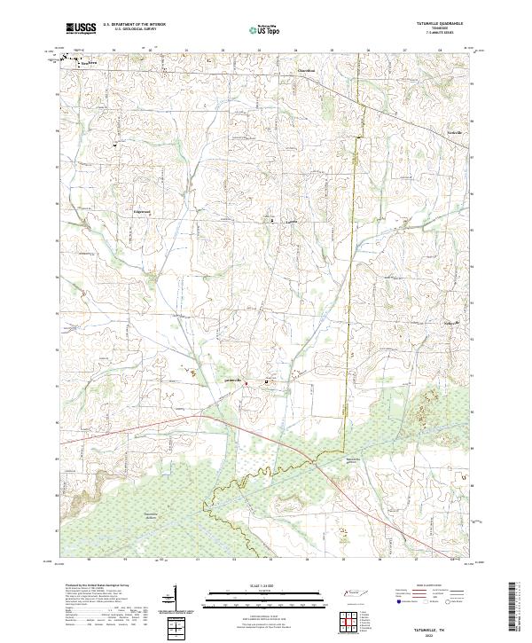 2022 Tatumville2022 Print · USGSWestern Tennessee’s agricultural heartland is captured here in the early twenty-first century, showing a landscape defined by river bottoms and rural crossroads. Local historians can trace family lines and old homesteads near Tatumville, Atkins Cem, and Macedonia Bottom.
 - 2022 Map of Yorkville, 2022 Print
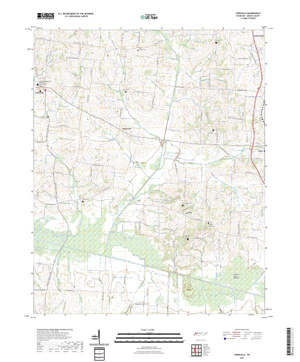 2022 Yorkville2022 Print · USGSWestern Gibson County comes into focus in the early twenty-first century, showing a landscape shaped by the N Fork Forked Deer River. Genealogists can trace local roots through numerous family-named roads and rural burial sites like Yorkville Cem and Bells Chapel Cem.
 - 2022 Map of Trimble, 2022 Print
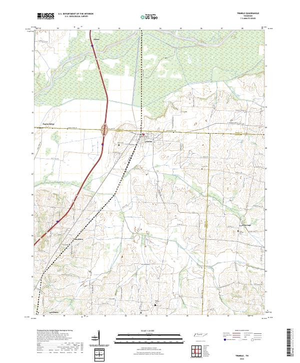 2022 Trimble2022 Print · USGSWest Tennessee’s river bottomlands and rural crossroads are meticulously documented in this recent survey. Genealogists and local historians can trace family-named landmarks and old burial grounds like Jones Cem and Cool Springs Cem near the Obion River.
 - 2022 Map of Friendship, 2022 Print
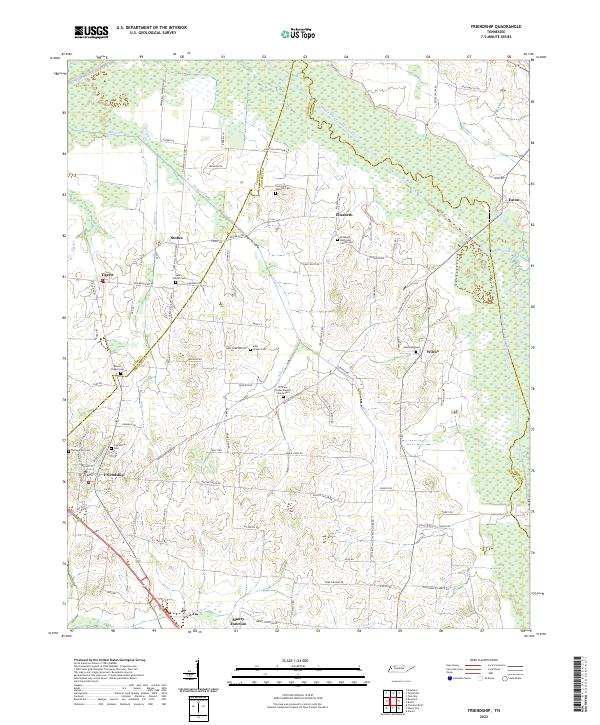 2022 Friendship2022 Print · USGSTennessee’s West Delta region is captured here as a landscape of river bottoms and scattered rural hamlets. Genealogists can trace family footprints at sites like Young and Williams Cem, Elizabeth, and Maury Junction.
 - 2022 Map of Kenton, 2022 Print
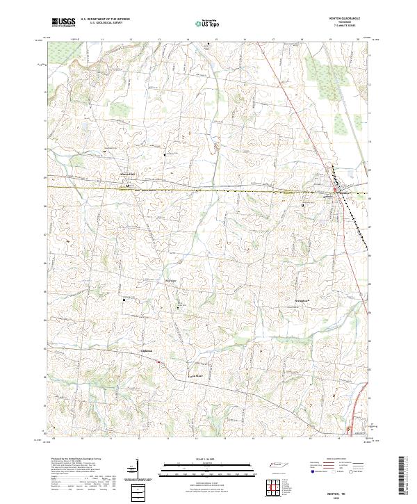 2022 Kenton2022 Print · USGSThe Gibson and Obion county line divides this agricultural landscape as it appeared in recent years. Researchers can trace the layout of rural communities like Mason Hall and Stringtown or locate family burial sites at Bethphage Cem and Sunnyside Cem.
 - 2022 Map of Trenton, 2022 Print
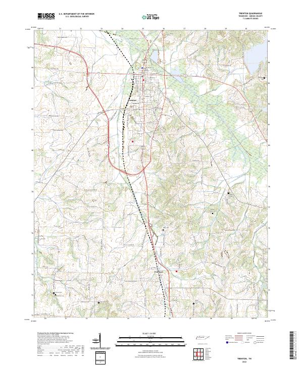 2022 Trenton2022 Print · USGSGibson County, Tennessee, is captured here in the early 2020s, centered on the county seat of Trenton. Genealogists can locate several local burial sites such as Harpers Chapel Cem and Smyrna Cem, or trace rural family roads like Esquire Hunt Rd.
 - 2022 Map of Spring Creek, 2022 Print
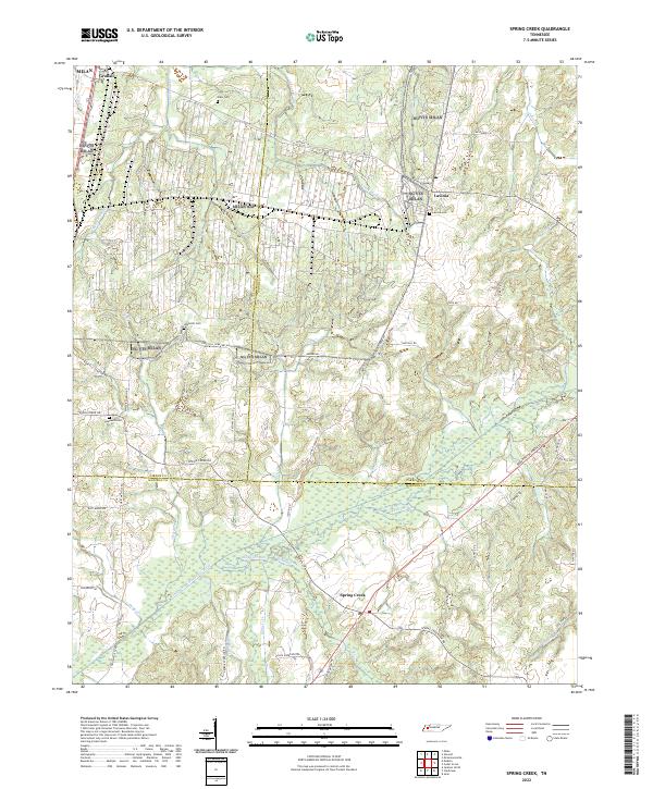 2022 Spring Creek2022 Print · USGSThe West Tennessee countryside at the meeting of Gibson, Carroll, and Madison Counties is shown here in the 2020s. Genealogists can trace family landmarks like Elam Cem and rural hubs such as Graball and Lavinia.
 - 2022 Map of Atwood, 2022 Print
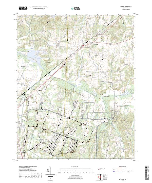 2022 Atwood2022 Print · USGSWest Tennessee’s rural landscape comes into focus at the junction of Gibson and Carroll counties in this modern era survey. Genealogists and local historians can trace family roots through numerous cemeteries like Poplar Springs Cem and Shiloh Cem, or locate landmarks in Atwood and Whitthorne.
 - 2022 Map of Humboldt, 2022 Print
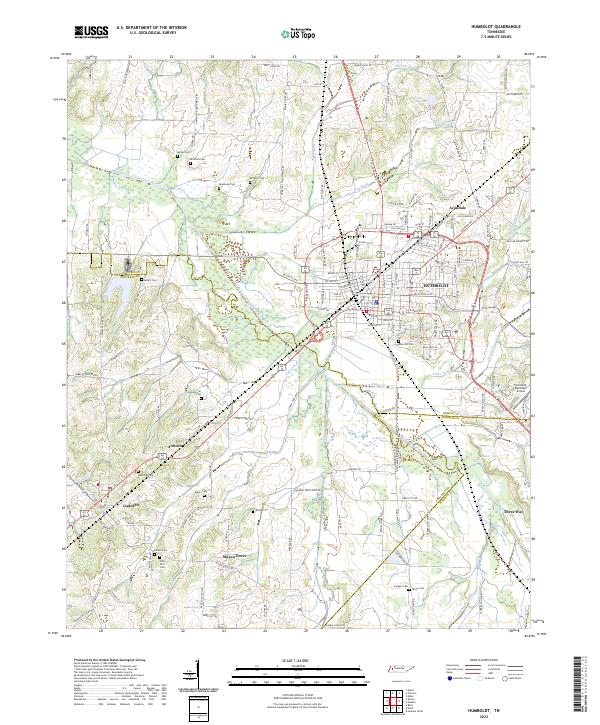 2022 Humboldt2022 Print · USGSHumboldt and its surrounding Gibson County townships are captured here during the early 2020s, showing the intersection of local industry and rural life. Genealogists can locate family landmarks like Rose Hill Cem and Nesbitt Cem or trace the Middle Fork Forked Deer River to its smaller branches.
 - 2022 Map of Medina, 2022 Print
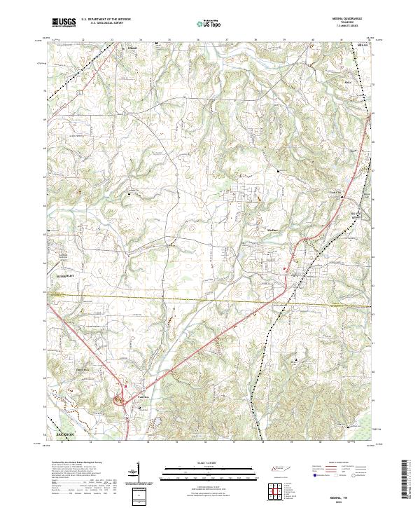 2022 Medina2022 Print · USGSMedina and the Gibson-Madison county line are shown here in the early 2020s amidst a landscape of winding creeks and rural crossroads. Researchers can locate several burial sites including White Rose Cem and Woods Cem, or trace the corridors between Goat City and Three Way.
 - 2022 Map of Milan, 2022 Print
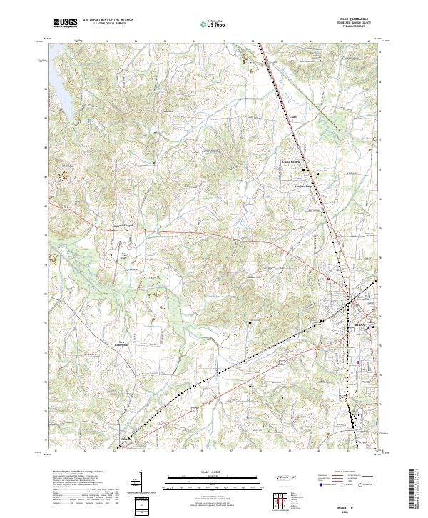 2022 Milan2022 Print · USGSGibson County's agricultural heartland is documented here in the early twenty-first century, centered on the growing hubs of Milan and Gibson. Researchers can trace family history through several rural burial sites, including Martin Cem, Hughes Cem, and Bluff Springs Cem.
End of results
Showing maps 1-18 of 18
Top cities of Gibson County
- Humboldt historical maps
- Trenton historical maps
- Dyer historical maps
- Medina historical maps
- Rutherford historical maps
- Bradford historical maps
See more
Frequently asked questions
- What are the different types of historical maps available for Gibson County?
- What is the oldest map of Gibson County?
- Where can I purchase historical maps of Gibson County for my home or office?
- Where can I download high-res historical maps of Gibson County?
- Are there historical topographic maps available for Gibson County?
- Is there historical aerial imagery available for Gibson County?
- Where are historical maps of Gibson County sourced from?