Old Maps of Gibson County, Tennessee for Metal Detecting
Plan your next treasure hunt with 117 historic maps of Gibson County. Find old homesites, ghost towns, trails, and gathering spots that may be lost to time — perfect for identifying promising metal detecting locations.
- Locate forgotten sites: Uncover places like long-lost settlements, abandoned rail lines, or gathering spots.
- Plan better hunts: Use map overlays combined with LiDAR or satellite views to narrow in on historically rich areas.
- Made for detectorists: Thousands of hobbyists use these maps to discover relics, coins, and hidden history.
Use these historic maps to boost your research and find new opportunities beneath the surface of Gibson County.
Gibson County, TN maps
(117)- 1951 Map of Trenton, 1952 Print
 1951 Trenton1952 Print · USGSGibson County in the early fifties shows a bustling agricultural landscape centered on the rail hub of Trenton. Researchers can trace rural life through landmarks like Willis School, the County Farm, and numerous church sites including Follis Chapel.2 unique versions available
 - 1952 Map of Milan, 1953 Print
 1952 Milan1953 Print · USGSMid-century Gibson County centers on the thriving rail junction at Milan and its surrounding farmsteads. Genealogists can trace the rural communities of Cades and Concord, locating old family-named landmarks like Martin Cem and the County Training Sch.3 unique versions available
 - 1953 Map of Dyer, 1955 Print
 1953 Dyer1955 Print · USGSGibson County life in the early fifties is centered on the rail line and river forks of West Tennessee. Genealogists and local historians can trace family roots through numerous country landmarks like Bucksnort Cem, Mt Zion Sch, and Barrons Corner.3 unique versions available
 - 1954 Map of Rutherford, 1955 Print
 1954 Rutherford1955 Print · USGSGibson County in the mid-1950s is a landscape of river forks and rural rail lines. Trace family history through local landmarks like China Grove Sch, Walnut Grove Ch, and the Gulf Mobile and Ohio railroad through Rutherford.3 unique versions available
 - 1954 Map of Greenfield, 1955 Print
 1954 Greenfield1955 Print · USGSMid-century West Tennessee comes to life along the rail-and-river corridor of Weakley County. Genealogists and local historians can trace family roots through numerous rural landmarks like Brocks Chapel, Highland Cem, and the small settlement of Kimery.3 unique versions available
 - 1954 Map of Bradford, 1955 Print
 1954 Bradford1955 Print · USGSGibson County is captured in the mid-fifties as a landscape of rural crossroads and rail-connected towns. Researchers can trace family history through numerous landmarks like Skullbone, Locust Grove Cem, and the Illinois Central line.3 unique versions available
 - 1956 Map of Dyersburg, 1960 Print
 1956 Dyersburg1960 Print · USGSThe Four Rivers region comes alive in the mid-fifties, capturing the intricate borderlands of Tennessee, Kentucky, and Missouri. Genealogists and historians can trace the rail-and-river networks connecting Dyersburg, Caruthersville, and the shoreline of Reelfoot Lake.4 unique versions available
 - 1956 Map of Blytheville, 1964 Print
 1956 Blytheville1964 Print · USGSWest Tennessee and the Arkansas Delta come alive in this mid-century survey of the river-and-rail corridor connecting Memphis to Jackson. Genealogists and historians can trace the rail lines of the Louisville and Nashville RR and locate landmarks like Western State Hospital or Fort Pillow State Prison Farm.2 unique versions available
 - 1959 Map of Medina
 1959 Medina1959 Print · USGSWest Tennessee’s rail-and-river landscape comes alive in the late fifties as three major railroads cross the Gibson and Madison county lines. Researchers can trace the vanished footprints of Fly Sch, explore the community around Bakers Chapel, and locate family plots at White Rose Cem.4 unique versions available
 - 1959 Map of Blytheville
 1959 Blytheville1959 Print · USGSWest Tennessee and Northeast Arkansas meet along the river in the late fifties, during a period of steady industrial and agricultural growth. Genealogists can trace the rail corridors of the Illinois Central through Jackson or explore landmarks like Shiloh National Military Park and Fort Pillow State Prison.
 - 1959 Map of Humboldt, 1960 Print
 1959 Humboldt1960 Print · USGSHumboldt and the surrounding West Tennessee countryside are captured here in the late fifties, during a period of steady growth and rail-side industry. Genealogists can locate family landmarks like Mason Grove or trace ancestors at Rose Hill Cemetery and New Shiloh Ch.2 unique versions available
 - 1964 Map of Alamo, 1966 Print
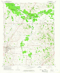 1964 Alamo1966 Print · USGSCrockett County in the mid-1960s was a landscape defined by its rail-connected town centers and fertile river bottoms. Local historians can trace the legacy of small communities like Coxville or find family roots at Quincy Cem and Mt Olive Ch.2 unique versions available
 - 1964 Map of Brazil, 1966 Print
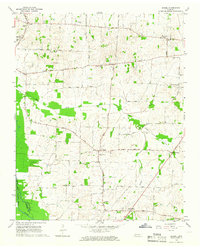 1964 Brazil1966 Print · USGSWest Tennessee rural life in the mid-sixties centered on crossroads communities and small parish churches across the Gibson and Crockett county lines. Genealogists can locate family landmarks like Walnut Grove Cem, the community of Frog Jump, and Doris Chapel.
 - 1964 Map of Yorkville, 1967 Print
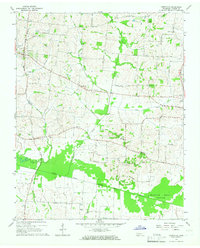 1964 Yorkville1967 Print · USGSMid-century West Tennessee comes to life here as agricultural communities like Yorkville and Hopewell thrive along the winding North Fork Forked Deer River. Genealogists can trace family footprints across several burial sites and rural steeples, including Flowers Cem, Bethel Cem, and Mt Olive Ch.2 unique versions available
 - 1965 Map of Kenton, 1966 Print
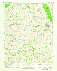 1965 Kenton1966 Print · USGSThe West Tennessee borderlands of Obion and Gibson counties are captured here in the mid-sixties, centered on the railroad town of Kenton. Local historians can trace old community hubs like Mason Hall, Tyson Store, and family landmarks including Sunny Side Cem.2 unique versions available
 - 1965 Map of Trimble, 1967 Print
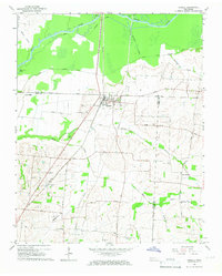 1965 Trimble1967 Print · USGSThe Dyer and Obion County line in the mid-1960s shows a landscape of river-bottom drainage and rail-side commerce. Genealogists can trace family names at Pierce Cem and McCorkle Cem or locate rural centers like Harmony Ch and Templeton.2 unique versions available
 - 1965 Map of Friendship, 1967 Print
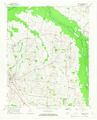 1965 Friendship1967 Print · USGSCrockett County farm life and river-bottom landscapes are captured here in the mid-1960s. Genealogists can trace family connections through rural landmarks like Bethesda Ch, the rail siding at Tigrett, and the settlement of Elizabeth.2 unique versions available
 - 1965 Map of Tatumville, 1967 Print
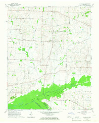 1965 Tatumville1967 Print · USGSDyer and Gibson Counties are shown here during the mid-1960s, defined by the winding course of the Forked Deer River. Researchers can trace ancestral locations near Tatumville, Churchton, and Atkins Cem, or locate rural churches such as Mt Tirzah Ch.2 unique versions available
 - 1966 Map of Spring Creek, 1967 Print
 1966 Spring Creek1967 Print · USGSWestern Tennessee at the height of the Cold War is captured here, showing the intersection of rural agriculture and military industry. Trace the massive footprint of the Milan Army Ammunition Plant alongside local landmarks like Latham Chapel and the Illinois Central RR.3 unique versions available
 - 1966 Map of Atwood, 1967 Print
 1966 Atwood1967 Print · USGSWest Tennessee’s industrial and rural landscape is captured here in the mid-sixties, centered on the town of Atwood and the Gibson-Carroll county line. Genealogists and historians can trace the extensive Milan Army Ammunition Plant, the MTA Jr High Sch, and family burial sites like Keaton Cem.4 unique versions available
 - 1966 Map of Trezevant West, 1968 Print
 1966 Trezevant West1968 Print · USGSCarroll and Weakley Counties are captured in the mid-sixties as the rural landscape remained centered on small crossroads like Christmasville and Holly Leaf. Trace the Louisville and Nashville line or locate family landmarks like Staffords Store and Republican Grove Ch.2 unique versions available
 - 1977 Map of Atwood
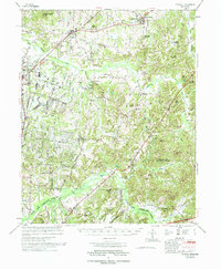 1977 Atwood1977 Print · USGSCarroll County and its neighbors are captured in the late seventies, showing a landscape defined by small-town life and military industry. Researchers can trace local roots through numerous country landmarks like Latham Chapel, Atwood, and the Full Gospel Mission.
 - 1977 Map of McKenzie
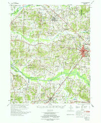 1977 McKenzie1977 Print · USGSWest Tennessee rail and river networks converge at McKenzie during the mid-seventies, showing the region's transition into the modern era. Genealogists and historians can trace family locations near Bethel College, the rural Stafford Store, or old country sites like Christmasville.
 - 1983 Map of Dyersburg
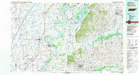 1983 Dyersburg1983 Print · USGSSpanning the Mississippi River at the start of the 1980s, this area shows the vital river-and-rail connections between Tennessee and Missouri. Researchers can trace family sites at Mount Pisgah Cemetery or study the evolving shoreline near Caruthersville and Reelfoot Lake.
 - 1986 Map of McKenzie
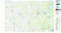 1986 McKenzie1986 Print · USGSWest Tennessee in the mid-eighties was a landscape defined by its deep river forks and the massive waters of Kentucky Lake. Researchers can trace the rail lines of the Louisville & Nashville RR and find local landmarks from Skullbone to the Paris Landing State Park.3 unique versions available
Showing maps 1-25 of 117
Top cities of Gibson County
- Humboldt historical maps
- Trenton historical maps
- Dyer historical maps
- Medina historical maps
- Rutherford historical maps
- Bradford historical maps
See more
Frequently asked questions
- What are the different types of historical maps available for Gibson County?
- What is the oldest map of Gibson County?
- Where can I purchase historical maps of Gibson County for my home or office?
- Where can I download high-res historical maps of Gibson County?
- Are there historical topographic maps available for Gibson County?
- Is there historical aerial imagery available for Gibson County?
- Where are historical maps of Gibson County sourced from?