2010s Maps of Gibson County, Tennessee
Explore 72 historic maps of Gibson County from the 2010s. These maps offer a rare glimpse into what life looked like during the 2010s — showing old roads, neighborhoods, homes, and landmarks that have changed or disappeared over time.
Whether you're researching your family's past, planning a metal detecting trip, or studying how Gibson County's landscape evolved across the 2010s, these high-resolution maps are a powerful tool for exploring the history of this region.
- Focus on a specific era: All maps on this page are from the 2010s, giving you a focused view of this time period.
- See what’s changed: Compare century-old streets, trails, and buildings to today's modern landscape using overlays and satellite layers.
- Research with precision: Use these maps for genealogy, historical research, land use analysis, or educational projects.
- View, download, or print: Maps are fully viewable online in high resolution, and can be downloaded or printed for your own records.
Start exploring Gibson County's history through authentic maps from the 2010s. This is your window into the past.
Gibson County, TN maps
(72)- 2010 Map of Humboldt, 2010 Print
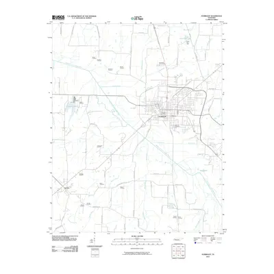 2010 Humboldt2010 Print · USGSHumboldt and the western reaches of the Forked Deer River valley are captured here at the start of the millennium. Genealogists and local historians can trace family ties through over a dozen rural burial grounds, including Rose Hill Cemetery, Oak Hill Cemetery, and the McLeary Cemetery.
 - 2010 Map of Dyer, 2010 Print
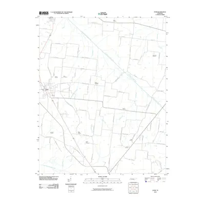 2010 Dyer2010 Print · USGSGibson County life centers on the town of Dyer and its rural outskirts during the early twenty-first century. Genealogists can trace family connections through numerous local burial sites including Mount Sinai Cemetery, New Bethlehem Cemetery, and the curiously named Bucksnort Cemetery.
 - 2010 Map of Atwood, 2010 Print
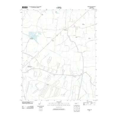 2010 Atwood2010 Print · USGSAtwood and the surrounding Carroll County countryside are captured here in 2010, showing the intersection of rural agriculture and local community life. Researchers can trace family history through many local landmarks, such as Pisgah Cemetery, Keaton Cemetery, and the University of Tennessee Agricultural Experimental Farm.
 - 2010 Map of Spring Creek, 2010 Print
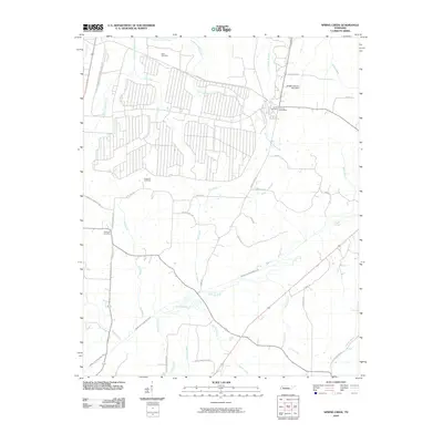 2010 Spring Creek2010 Print · USGSThe rural Tennessee landscape around Spring Creek and Lavinia is captured here in the early twenty-first century. Family researchers can pinpoint exact locations of Elam Cemetery, Hopewell Cemetery, and the Lavinia Post Office near the Middle Fork Forked Deer River.
 - 2010 Map of Bradford, 2010 Print
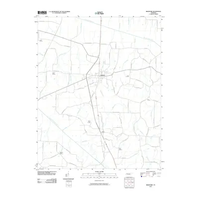 2010 Bradford2010 Print · USGSNorthwestern Tennessee at the start of the 21st century reveals a deep-rooted agricultural landscape centered on the town of Bradford. Genealogists and local historians can trace family ties through numerous rural sites like the Idlewild Post Office and Shiloh Cemetery.
 - 2010 Map of Greenfield, 2010 Print
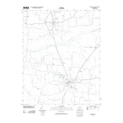 2010 Greenfield2010 Print · USGSWeakley County at the start of the 2010s reveals a landscape defined by the branching waters of the Obion River and deep-rooted rural communities. Researchers can locate numerous family burial grounds like Hornbeak Cemetery and Old Hall Cemetery, or trace local ties to Sharon and Brocks Chapel.
 - 2010 Map of Alamo, 2010 Print
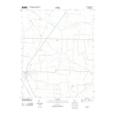 2010 Alamo2010 Print · USGSCrockett County is captured in this early twenty-first-century survey centered on the town of Alamo. Local historians can trace the rural road network and identify family-linked landmarks like Quincy Cemetery, Mound Field, and the Middle Fork Forked Deer River.
 - 2010 Map of Friendship, 2010 Print
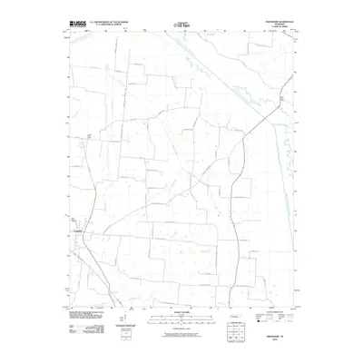 2010 Friendship2010 Print · USGSFriendship and its surrounding Tennessee farmsteads are mapped here at the turn of the twenty-first century as they border the Forked Deer River forks. Genealogists can trace family lands near Belle Vernon Cemetery, Tigrett Post Office, and the winding Odell Creek.
 - 2010 Map of Trezevant West, 2010 Print
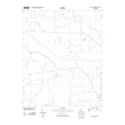 2010 Trezevant West2010 Print · USGSCarroll County's rural landscape is captured here during the early twenty-first century, showing the town of Trezevant and its surrounding farms. Genealogists can trace family roots through numerous burial sites including Brock Cemetery and Pleasant Green Cemetery.
 - 2010 Map of Trimble, 2010 Print
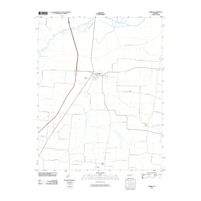 2010 Trimble2010 Print · USGSThe Northwest Tennessee landscape near the start of the new millennium is defined here by the town of Trimble and the managed waters of the Obion River. Genealogists can locate several local landmarks, including Pierce Cemetery, Cool Springs Cemetery, and McCorkle Cemetery.
 - 2010 Map of Rutherford, 2010 Print
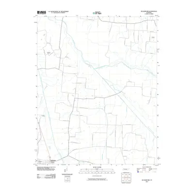 2010 Rutherford2010 Print · USGSRutherford and the surrounding Gibson County bottomlands are shown here in the early twenty-first century as the Obion River system dominates the landscape. Local historians can trace family-named sites like Connell Cemetery and Macedonia Cemetery along the winding Middle Fork Obion River.
 - 2010 Map of Brazil, 2010 Print
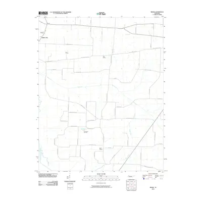 2010 Brazil2010 Print · USGSGibson County, Tennessee, is captured here in the early 2000s, showing a landscape defined by small communities and family-named roads. Genealogists can locate several local burial grounds like Spring Hill Cemetery and Olive Branch Cemetery, or trace roots near W H Bowers Lake.
 - 2010 Map of Yorkville, 2010 Print
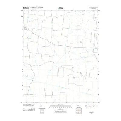 2010 Yorkville2010 Print · USGSYorkville and its surrounding farmstead reaches are documented here in the early twenty-first century. Genealogists and local researchers can trace a significant number of rural burial sites, including Yorkville Cemetery, Good Hope Cemetery, and Mount Olive Cemetery.
 - 2010 Map of Kenton, 2010 Print
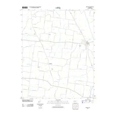 2010 Kenton2010 Print · USGSWest Tennessee’s agricultural heartland is documented here as it appeared in 2010, centering on the town of Kenton. Genealogists can trace family-named routes and locate historic burial sites like Salem Cemetery, Bethpage Cemetery, and the North Union Cemetery near Fairview.
 - 2010 Map of Trenton, 2010 Print
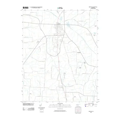 2010 Trenton2010 Print · USGSGibson County in the early twenty-first century is defined by its small-town hubs and persistent rural networks. Genealogists and local historians can trace family locations through numerous sites like Harpers Chapel Cemetery, the Fruitland Post Office, and the streets of Trenton.
 - 2010 Map of Medina, 2010 Print
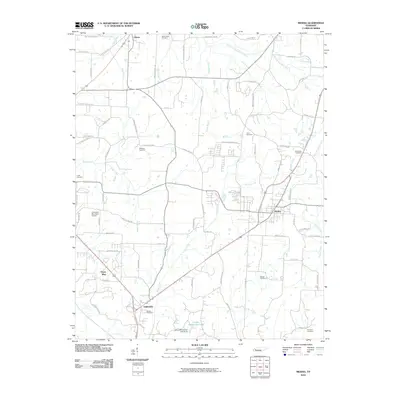 2010 Medina2010 Print · USGSThe West Tennessee countryside around Medina and Gibson is captured here during a period of steady rural development. Genealogists and local historians can trace family roots through numerous sites like White Rose Cemetery and Rush Cemetery near the banks of Turkey Creek.
 - 2010 Map of Tatumville, 2010 Print
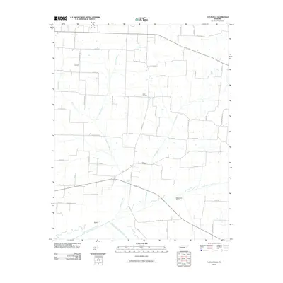 2010 Tatumville2010 Print · USGSDyer County in the early twenty-first century reveals a landscape of family-named roads and river bottoms. Genealogists can locate family landmarks such as Atkins Cemetery or Shaw Cemetery and trace the drainage of Doakville Creek toward the river forks.
 - 2010 Map of Milan, 2010 Print
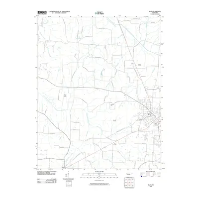 2010 Milan2010 Print · USGSMilan and the surrounding Gibson County countryside are shown here at the start of the decade, capturing the area's mix of municipal growth and rural heritage. Researchers can locate family landmarks like Hughes Cemetery, the Gibson County Airport, and the Milan Post Office.
 - 2013 Map of Greenfield, 2013 Print
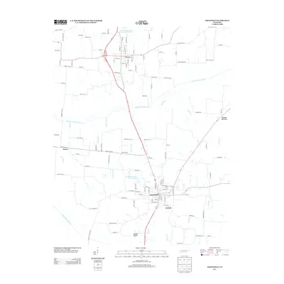 2013 Greenfield2013 Print · USGSWeakley County at the start of the 2010s shows a landscape of established farming towns and managed river bottoms. Researchers can trace family history through community landmarks like Brocks Chapel, the crossroads at Kimery, and rural corridors like Hillis Cemetery Rd.
 - 2013 Map of Trezevant West, 2013 Print
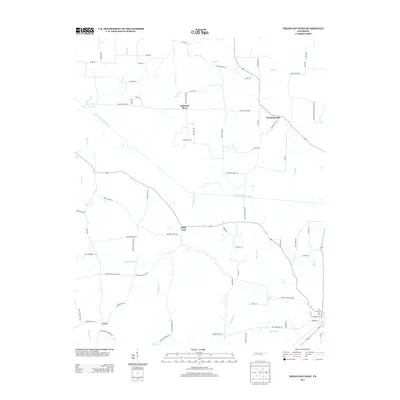 2013 Trezevant West2013 Print · USGSCarroll County’s rural crossroads and river bottoms are documented in this 2012 survey, showing the landscape just north of Trezevant. Genealogists and researchers can trace the paths of long-established communities like Holly Leaf, Christmasville, and Staffords Store.
 - 2013 Map of Bradford, 2013 Print
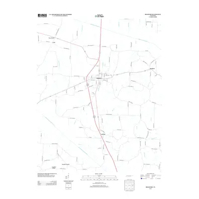 2013 Bradford2013 Print · USGSGibson County settlement patterns are preserved here in the early twenty-first century, centered on the community of Bradford. Researchers can trace the rural road networks connecting historic locales like Skullbone, Idlewild, and Tuckers Corner.
 - 2013 Map of Yorkville, 2013 Print
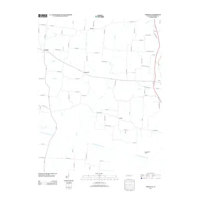 2013 Yorkville2013 Print · USGSThe rural Gibson County countryside in the early twenty-first century is defined by its winding waterways and historic crossroads. Genealogists and local historians can trace family land via named routes like Ira Halford Rd and locate the community centers of Yorkville and Hopewell.
 - 2013 Map of Kenton, 2013 Print
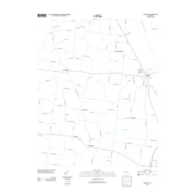 2013 Kenton2013 Print · USGSThe West Tennessee countryside near the Obion River comes into focus in this early 21st-century survey. Genealogists and local historians can trace family roots and old community boundaries through settlements like Mason Hall, Stringtown, and Tyson Store.
 - 2013 Map of Tatumville, 2013 Print
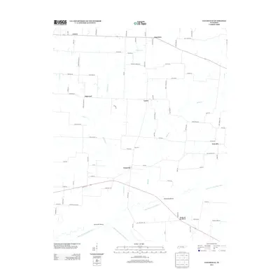 2013 Tatumville2013 Print · USGSDyer County's river-bottom lands are captured here in the early 21st century as the agricultural landscape remains tied to the Forked Deer River system. Genealogists and local historians can trace family-named routes like Adkins Cemetery Rd and locate rural hubs such as Tatumville and Neboville.
 - 2013 Map of Trimble, 2013 Print
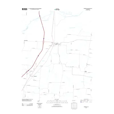 2013 Trimble2013 Print · USGSThe Dyer County countryside near the Obion River comes into focus in this early 21st-century record of rural West Tennessee. Researchers can trace land patterns and local roads connecting Trimble, Templeton, and the waters of the Old Obion River Drainage Canal.
Showing maps 1-25 of 72
Top cities of Gibson County
- Humboldt historical maps
- Trenton historical maps
- Dyer historical maps
- Medina historical maps
- Rutherford historical maps
- Bradford historical maps
See more
Frequently asked questions
- What are the different types of historical maps available for Gibson County?
- What is the oldest map of Gibson County?
- Where can I purchase historical maps of Gibson County for my home or office?
- Where can I download high-res historical maps of Gibson County?
- Are there historical topographic maps available for Gibson County?
- Is there historical aerial imagery available for Gibson County?
- Where are historical maps of Gibson County sourced from?