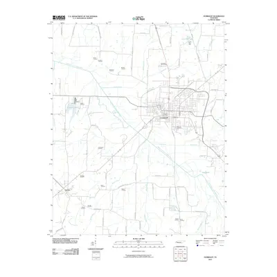
2010 Map of Humboldt
USGS Topo · Published 2010About this map
The Middle Fork Forked Deer River winds through this West Tennessee landscape, anchoring the city of Humboldt as it appeared in the early 21st century. The map reveals a dense network of family-named cemeteries that speak to the deep genealogical roots of Gibson and Madison counties, including Motley Cemetery, Bradford Cemetery, and Newhouse Cemetery. To the west, the settlement of Gadsden marks the edge of the survey, while various water features like Humboldt Lake and Jones Farm Lake dot the rural areas surrounding the urban center.
Find a feature on this map
72 named features on this map. Tap any name to fly to it.
Don’t see what you’re looking for? This feature index may not catch every label — zoom into the map to look around manually.
Map Details
Editions of this 2010 Humboldt Map
This is the sole edition of this map. No revisions or reprints were ever made.
Other maps of this area

1950 · Jackson North
USGS Topo · 1:24,000

1951 · Jackson North
USGS Topo · 1:24,000

1951 · Trenton
USGS Topo · 1:24,000

1952 · Milan
USGS Topo · 1:24,000

1956 · Blytheville
USGS Topo · 1:250,000

1959 · Medina
USGS Topo · 1:24,000

1959 · Blytheville
USGS Topo · 1:250,000

1959 · Bells
USGS Topo · 1:24,000

1959 · Adair
USGS Topo · 1:24,000

1959 · Humboldt
USGS Topo · 1:24,000