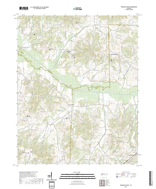
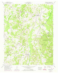
2022 Map of Trezevant West
USGS Topo · Published 2022This historical map portrays the area of Trezevant West in 2022, primarily covering Carroll County as well as portions of Weakley County and Gibson County. Featuring a scale of 1:24000, this map provides a highly detailed snapshot of the terrain, roads, buildings, counties, and historical landmarks in the Trezevant West region at the time. Published in 2022, it is the sole known edition of this map.
Find a feature on this map
81 named features on this map. Tap any name to fly to it.
Don’t see what you’re looking for? This feature index may not catch every label — zoom into the map to look around manually.
Map Details
Editions of this 2022 Trezevant West Map
This is the sole edition of this map. No revisions or reprints were ever made.
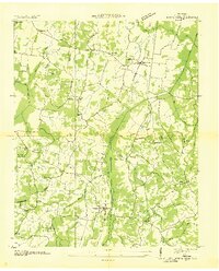
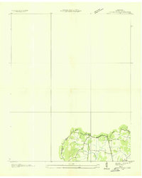
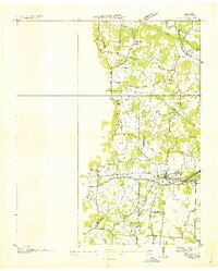
Historical Maps of Gibson County Through Time
16 maps found
1936 Buena Vista
Carroll County, TN
1936 Center Ridge
Carroll County, TN
1936 Vale
Carroll County, TN
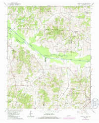
1950 Buena Vista
Carroll County, TN
1950 Palmer Shelter
Carroll County, TN
1950 Vale
Carroll County, TN
1966 Mc Lemoresville
Carroll County, TN
1966 Spring Creek
Carroll County, TN
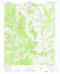
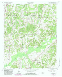
1966 Trezevant West
Carroll County, TN
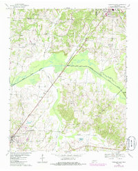
1967 Trezevant East
Carroll County, TN
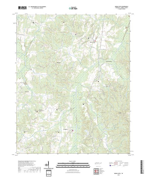
2022 Buena Vista
Carroll County, TN
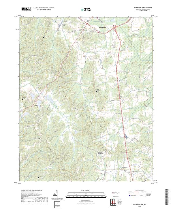
2022 Palmer Shelter
Carroll County, TN
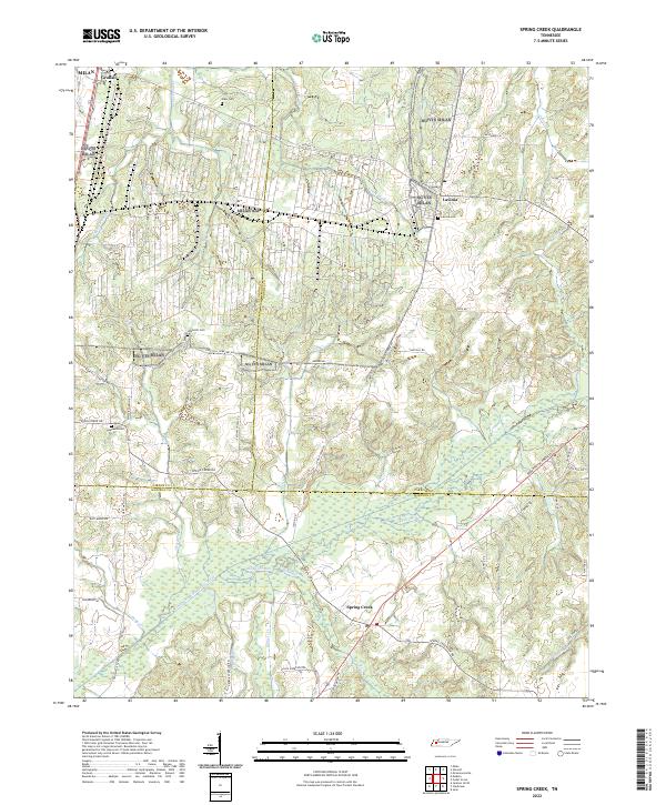
2022 Spring Creek
Carroll County, TN
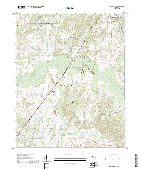
2022 Trezevant East
Carroll County, TN
2022 Trezevant West
Carroll County, TN
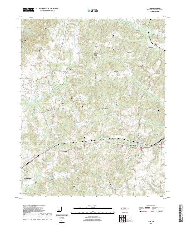
2022 Vale
Carroll County, TN