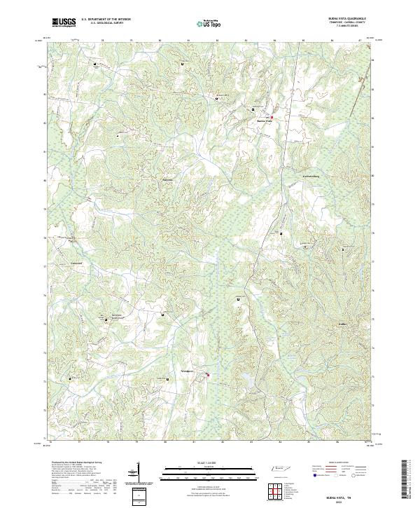
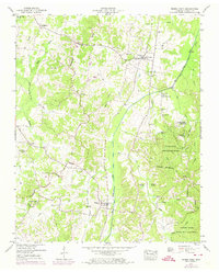
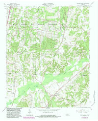
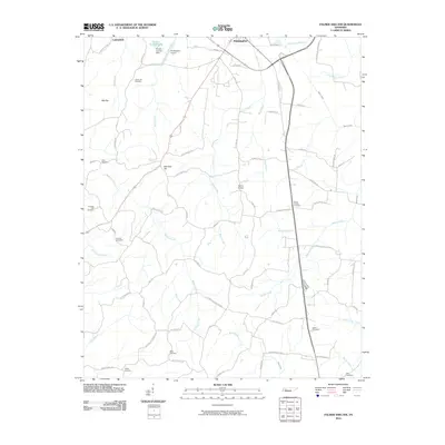
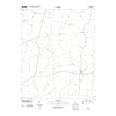
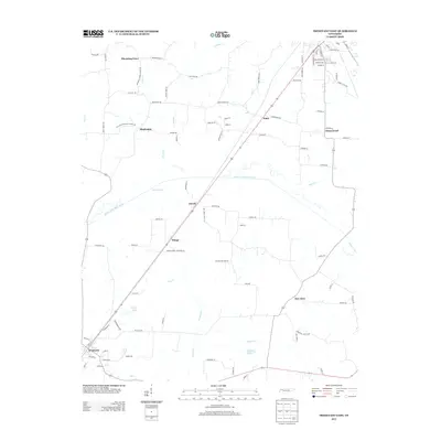
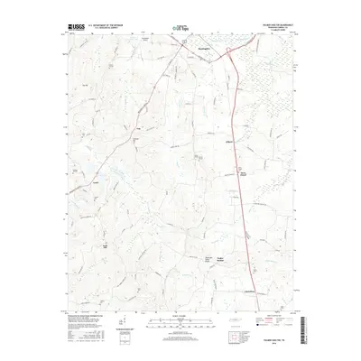
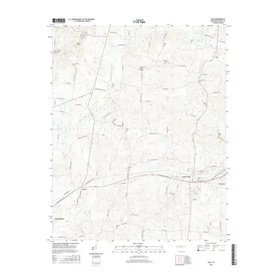
2022 Map of Buena Vista
USGS Topo · Published 2022About this map
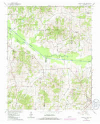
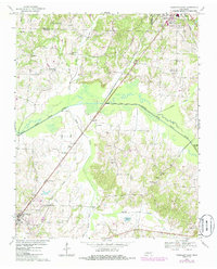
Big Sandy River defines the central axis of this West Tennessee landscape, winding northward past the communities of Westport and Buena Vista. The terrain is characterized by a dense network of watercourses, including Bell Cr, Haines Br, and Indian Cr, which feed into the primary river valley. Notable concentrations of wetlands, such as Goose Pond Swamp and Bradford Swamp, occupy the lowlands east of the river near Dollar.
Find a feature on this map
87 named features on this map. Tap any name to fly to it.
Don’t see what you’re looking for? This feature index may not catch every label — zoom into the map to look around manually.
Map Details
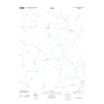
Editions of this 2022 Buena Vista Map
This is the sole edition of this map. No revisions or reprints were ever made.
Historical Maps of Huntingdon Through Time
40 maps found
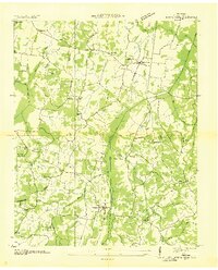
1936 Buena Vista
Carroll County, TN
1936 Center Ridge
Carroll County, TN
1936 Vale
Carroll County, TN
1950 Buena Vista
Carroll County, TN
1950 Palmer Shelter
Carroll County, TN
1950 Vale
Carroll County, TN
1966 Mc Lemoresville
Carroll County, TN
1966 Spring Creek
Carroll County, TN
1966 Trezevant West
Carroll County, TN
1967 Trezevant East
Carroll County, TN
2010 Buena Vista
Carroll County, TN
2010 Palmer Shelter
Carroll County, TN
2010 Spring Creek
Carroll County, TN
2010 Trezevant East
Carroll County, TN
2010 Trezevant West
Carroll County, TN
2010 Vale
Carroll County, TN
2013 Buena Vista
Carroll County, TN
2013 Palmer Shelter
Carroll County, TN
2013 Spring Creek
Carroll County, TN
2013 Trezevant East
Carroll County, TN
2013 Trezevant West
Carroll County, TN
2013 Vale
Carroll County, TN
2016 Buena Vista
Carroll County, TN
2016 Palmer Shelter
Carroll County, TN
2016 Spring Creek
Carroll County, TN
2016 Trezevant East
Carroll County, TN
2016 Trezevant West
Carroll County, TN
2016 Vale
Carroll County, TN
2019 Buena Vista
Carroll County, TN
2019 Palmer Shelter
Carroll County, TN
2019 Spring Creek
Carroll County, TN
2019 Trezevant East
Carroll County, TN
2019 Trezevant West
Carroll County, TN
2019 Vale
Carroll County, TN
2022 Buena Vista
Carroll County, TN
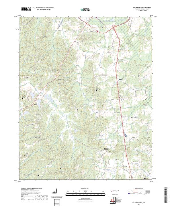
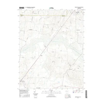
2022 Palmer Shelter
Carroll County, TN
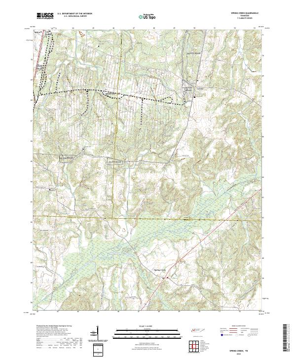
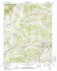
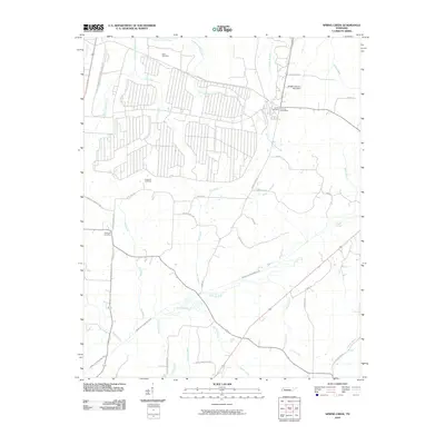
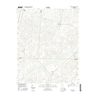
2022 Spring Creek
Carroll County, TN
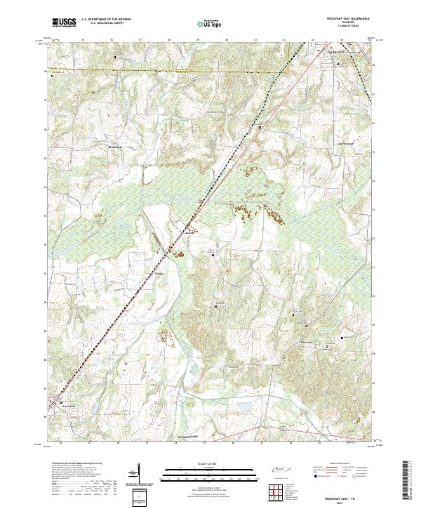
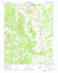
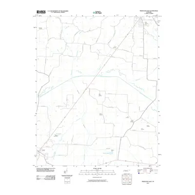
2022 Trezevant East
Carroll County, TN
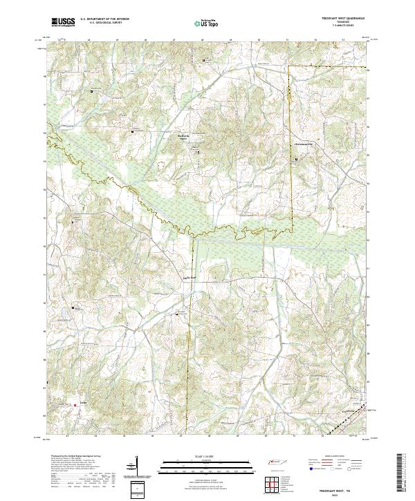
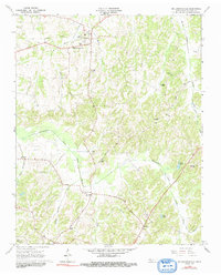
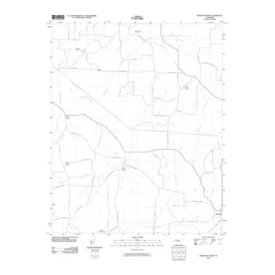
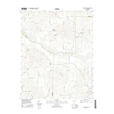
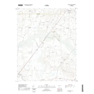
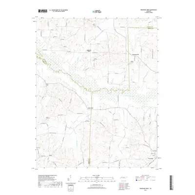
2022 Trezevant West
Carroll County, TN
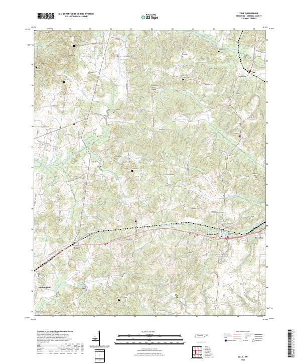
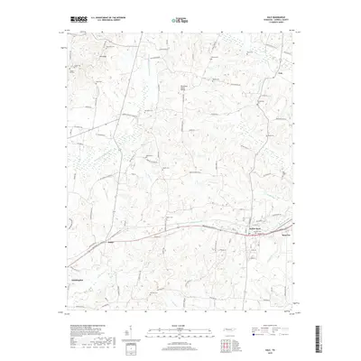
2022 Vale
Carroll County, TN