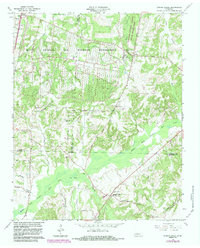
1966 Map of Spring Creek
USGS Topo · Published 1983About this map
The Milan Arsenal and Wildlife Management Area dominates the northern landscape of this West Tennessee quadrangle, where the borders of Gibson, Carroll, and Madison counties meet. Large tracts of land are dedicated to the Tennessee National Guard Milan Reservation, illustrating the Cold War era's integration of military installations with rural terrain. Significant water systems like the Middle Fork Deer River and its various tributaries, including Wolf Creek and Latham Creek, carve through the region's lowlands. Scattered settlements and rural hubs define the local geography, from the community of Spring Creek in the south to the intersection at Graball and the railroad siding at Lavinia along the Icg RR. This map preserves the locations of numerous historic country congregations, including Latham Chapel, West Plains Ch, and New Carmel Ch, providing essential reference points for genealogists and local historians.
Find a feature on this map
45 named features on this map. Tap any name to fly to it.
Don’t see what you’re looking for? This feature index may not catch every label — zoom into the map to look around manually.
Map Details
Editions of this 1966 Spring Creek Map
3 editions found
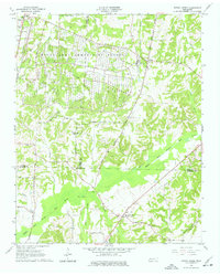
Other maps of this area

1950 · Jackson North
USGS Topo · 1:24,000

1951 · Jackson North
USGS Topo · 1:24,000

1952 · Milan
USGS Topo · 1:24,000

1953 · Claybrook
USGS Topo · 1:24,000

1955 · Juno
USGS Topo · 1:24,000

1956 · Blytheville
USGS Topo · 1:250,000

1959 · Medina
USGS Topo · 1:24,000

1959 · Blytheville
USGS Topo · 1:250,000

1966 · Spring Creek
USGS Topo · 1:24,000

1966 · Mc Lemoresville
USGS Topo · 1:24,000