2000s (21st Century) Maps of Chattanooga, Tennessee
Explore 45 historic maps of Chattanooga from the 2000s (21st Century). These maps offer a rare glimpse into what life looked like during the 2000s — showing old roads, neighborhoods, homes, and landmarks that have changed or disappeared over time.
Whether you're researching your family's past, planning a metal detecting trip, or studying how Chattanooga's landscape evolved across the 2000s, these high-resolution maps are a powerful tool for exploring the history of this region.
- Focus on a specific era: All maps on this page are from the 2000s, giving you a focused view of this time period.
- See what’s changed: Compare century-old streets, trails, and buildings to today's modern landscape using overlays and satellite layers.
- Research with precision: Use these maps for genealogy, historical research, land use analysis, or educational projects.
- View, download, or print: Maps are fully viewable online in high resolution, and can be downloaded or printed for your own records.
Start exploring Chattanooga's history through authentic maps from the 2000s. This is your window into the past.
Chattanooga, TN maps
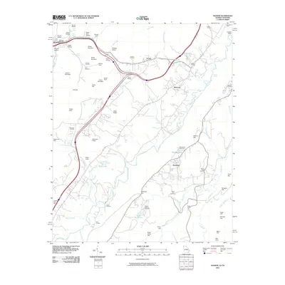
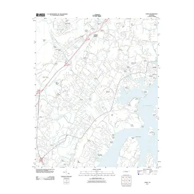
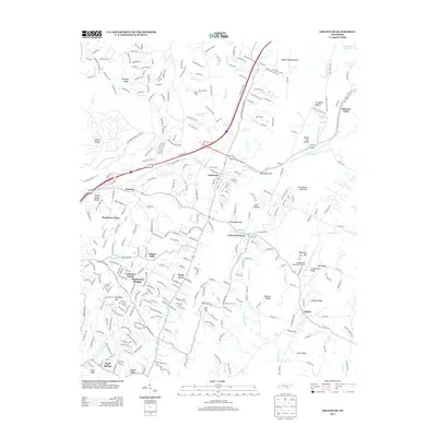
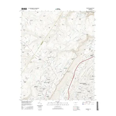
(45)- 2010 Map of Fairmount, 2010 Print
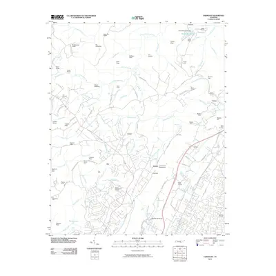 2010 Fairmount2010 Print · USGSCovers Chattanooga, including Soddy-Daisy, Signal Mountain, and other nearby areas
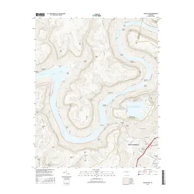
 - 2010 Map of Ooltewah, 2010 Print
 2010 Ooltewah2010 Print · USGSCovers Chattanooga, including Collegedale, Williamsburg Estates, and other nearby areas
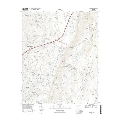
 - 2010 Map of East Chattanooga, 2010 Print
 2010 East Chattanooga2010 Print · USGSCovers Chattanooga, including East Ridge, Theresa Heights, and other nearby areas
 - 2010 Map of Wauhatchie, 2010 Print
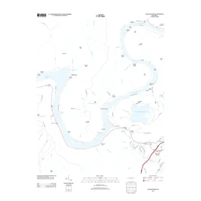
 2010 Wauhatchie2010 Print · USGSCovers Chattanooga, including Stanley, Shake Rag, and other nearby areas
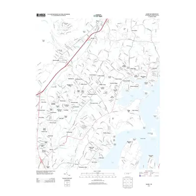
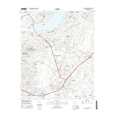
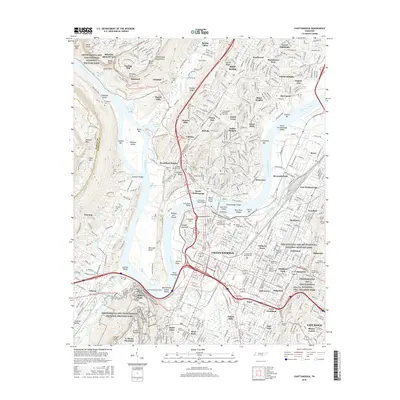
 - 2010 Map of Chattanooga, 2010 Print
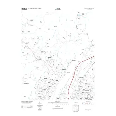
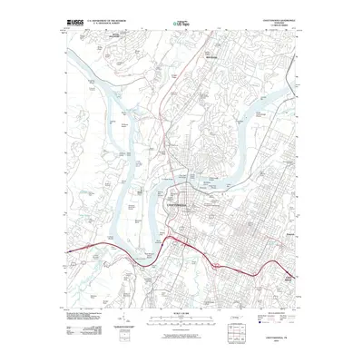 2010 Chattanooga2010 Print · USGSCovers Chattanooga, including East Ridge, East Ridge, and other nearby areas
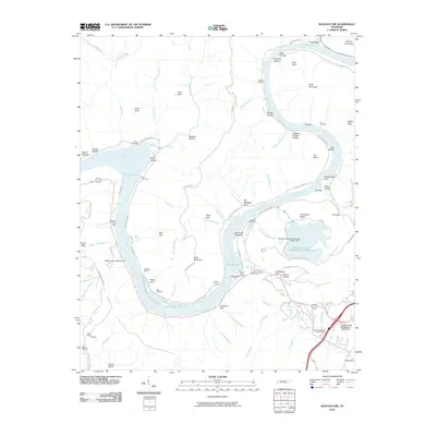
 - 2010 Map of Hooker, 2010 Print
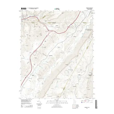
 2010 Hooker2010 Print · USGSCovers Chattanooga, including Trenton, Lookout Mountain, and other nearby areas
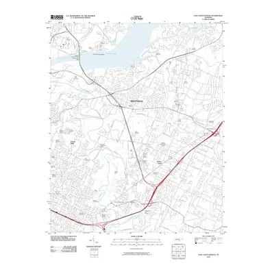
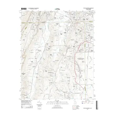
 - 2010 Map of Fort Oglethorpe, 2010 Print
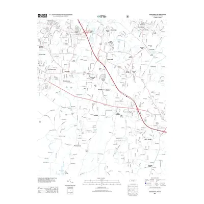
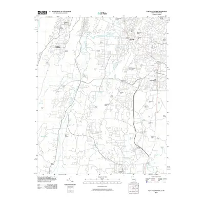 2010 Fort Oglethorpe2010 Print · USGSCovers Chattanooga, including East Ridge, Fort Oglethorpe, and other nearby areas
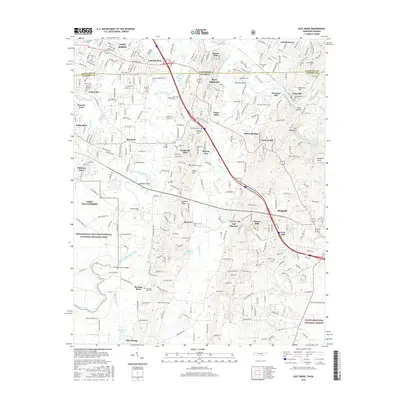
 - 2011 Map of East Ridge, 2011 Print
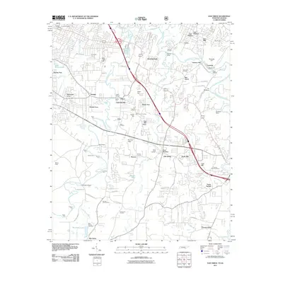 2011 East Ridge2011 Print · USGSCovers Chattanooga, including East Ridge, Fort Oglethorpe, and other nearby areas
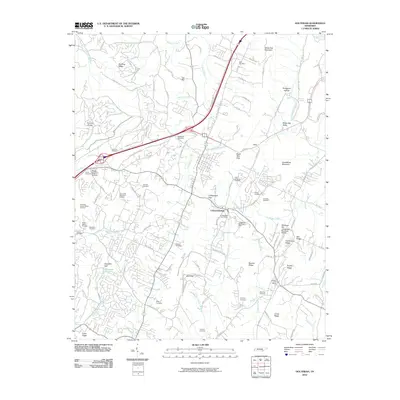
 - 2011 Map of Daisy, 2011 Print
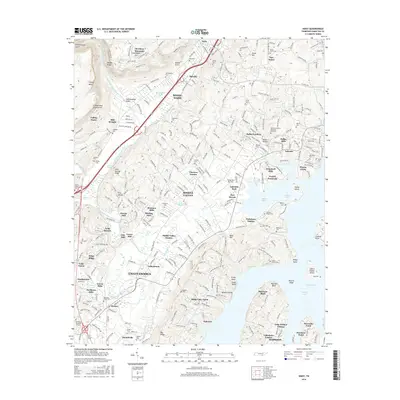
 2011 Daisy2011 Print · USGSCovers Chattanooga, including Soddy-Daisy, Lakesite, and other nearby areas
 - 2013 Map of Wauhatchie, 2013 Print
 2013 Wauhatchie2013 Print · USGSCovers Chattanooga, including Stanley, Shake Rag, and other nearby areas
 - 2013 Map of Fairmount, 2013 Print
 2013 Fairmount2013 Print · USGSCovers Chattanooga, including Soddy-Daisy, Signal Mountain, and other nearby areas
 - 2013 Map of East Ridge, 2013 Print
 2013 East Ridge2013 Print · USGSCovers Chattanooga, including East Ridge, Fort Oglethorpe, and other nearby areas
 - 2013 Map of Ooltewah, 2013 Print
 2013 Ooltewah2013 Print · USGSCovers Chattanooga, including Collegedale, Williamsburg Estates, and other nearby areas
 - 2013 Map of Daisy, 2013 Print
 2013 Daisy2013 Print · USGSCovers Chattanooga, including Soddy-Daisy, Lakesite, and other nearby areas
 - 2013 Map of East Chattanooga, 2013 Print
 2013 East Chattanooga2013 Print · USGSCovers Chattanooga, including East Ridge, Theresa Heights, and other nearby areas
 - 2013 Map of Chattanooga, 2013 Print
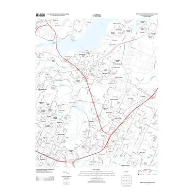
 2013 Chattanooga2013 Print · USGSCovers Chattanooga, including East Ridge, East Ridge, and other nearby areas
 - 2014 Map of Fort Oglethorpe, 2014 Print
 2014 Fort Oglethorpe2014 Print · USGSCovers Chattanooga, including East Ridge, Fort Oglethorpe, and other nearby areas
 - 2014 Map of Hooker, 2014 Print
 2014 Hooker2014 Print · USGSCovers Chattanooga, including Trenton, Lookout Mountain, and other nearby areas
 - 2016 Map of East Ridge, 2016 Print
 2016 East Ridge2016 Print · USGSCovers Chattanooga, including East Ridge, Fort Oglethorpe, and other nearby areas
 - 2016 Map of Daisy, 2016 Print
 2016 Daisy2016 Print · USGSCovers Chattanooga, including Soddy-Daisy, Lakesite, and other nearby areas
 - 2016 Map of East Chattanooga, 2016 Print
 2016 East Chattanooga2016 Print · USGSCovers Chattanooga, including East Ridge, Theresa Heights, and other nearby areas
 - 2016 Map of Fairmount, 2016 Print
 2016 Fairmount2016 Print · USGSCovers Chattanooga, including Soddy-Daisy, Signal Mountain, and other nearby areas
 - 2016 Map of Ooltewah, 2016 Print
 2016 Ooltewah2016 Print · USGSCovers Chattanooga, including Collegedale, Williamsburg Estates, and other nearby areas
 - 2016 Map of Wauhatchie, 2016 Print
 2016 Wauhatchie2016 Print · USGSCovers Chattanooga, including Stanley, Shake Rag, and other nearby areas
 - 2016 Map of Chattanooga, 2016 Print
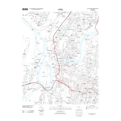
 2016 Chattanooga2016 Print · USGSCovers Chattanooga, including East Ridge, East Ridge, and other nearby areas
Showing maps 1-25 of 45
Top cities near Chattanooga
- East Ridge historical maps
- East Ridge historical maps
- Soddy-Daisy historical maps
- Fort Oglethorpe historical maps
- Collegedale historical maps
- Signal Mountain historical maps
See more
Top neighborhoods of Chattanooga
- Alton Park historical maps
- Glenwood historical maps
- Andrea Heights historical maps
- Avondale historical maps
- Colonial Village historical maps
- Hampton Heights historical maps
See more
Frequently asked questions
- What are the different types of historical maps available for Chattanooga?
- What is the oldest map of Chattanooga?
- Where can I purchase historical maps of Chattanooga for my home or office?
- Where can I download high-res historical maps of Chattanooga?
- Are there historical topographic maps available for Chattanooga?
- Is there historical aerial imagery available for Chattanooga?
- Where are historical maps of Chattanooga sourced from?