1900s (20th Century) Maps of Hancock County, Tennessee
Explore 41 historic maps of Hancock County from the 1900s (20th Century). These maps offer a rare glimpse into what life looked like during the 1900s — showing old roads, neighborhoods, homes, and landmarks that have changed or disappeared over time.
Whether you're researching your family's past, planning a metal detecting trip, or studying how Hancock County's landscape evolved across the 1900s, these high-resolution maps are a powerful tool for exploring the history of this region.
- Focus on a specific era: All maps on this page are from the 1900s, giving you a focused view of this time period.
- See what’s changed: Compare century-old streets, trails, and buildings to today's modern landscape using overlays and satellite layers.
- Research with precision: Use these maps for genealogy, historical research, land use analysis, or educational projects.
- View, download, or print: Maps are fully viewable online in high resolution, and can be downloaded or printed for your own records.
Start exploring Hancock County's history through authentic maps from the 1900s. This is your window into the past.
Hancock County, TN maps
(41)- 1932 Map of Hagan
 1932 Hagan1932 Print · USGSThe rugged borderlands of Kentucky and Virginia come to life in this early 1930s survey of the high gaps and hollows. Researchers can locate remote mountain landmarks like Hensley Sch, Feepee Store, and the scattered cabins at Alva.3 unique versions available
 - 1935 Map of Rogersville
 1935 Rogersville1935 Print · USGSHawkins and Greene Counties come alive in the mid-1930s, showing a landscape of ridge-top schools and river-bottom farms. Genealogists can trace family footprints near Pressmans Home, Bulls Gap, and local centers like Macedonia Ch.
 - 1935 Map of Tate Springs
 1935 Tate Springs1935 Print · USGSThe river valleys of Grainger County are captured here in the mid-1930s as the Tennessee Valley Authority began planning the reservoir. Trace family history through local landmarks like Lawson Mill, Swan Island Ferry, and the community at Tate Springs.
 - 1935 Map of Kyles Ford
 1935 Kyles Ford1935 Print · USGSHancock County and the Clinch River are captured in the mid-1930s, documenting a time when river fords and mountain gaps defined travel. Researchers can locate remote schools and cemeteries like Wallens Bend Sch, BLEDSOE CEM, and the settlement at Eidson.
 - 1935 Map of Looneys Gap
 1935 Looneys Gap1935 Print · USGSNortheast Tennessee and Southwest Virginia are captured here in the mid-1930s, showing a landscape of river-bottom farms and ridge-top gaps. Researchers can locate vanished landmarks like Donald Mill, Tignors Ford, and the old Snow Flake settlement.
 - 1935 Map of Lee Valley
 1935 Lee Valley1935 Print · USGSThe Clinch Mountain ridges of Hancock and Hawkins counties come into focus during the mid-thirties, showing a landscape defined by mountain gaps and valley farming. Genealogists can locate family landmarks like Murrell Town, Trents, and Gills Chapel tucked among the steep slopes.
 - 1935 Map of Colman
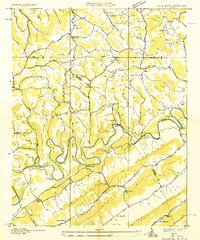 1935 Colman1935 Print · USGSThe Tennessee-Virginia borderlands in the mid-1930s show a landscape defined by the winding Powell River and the steep slopes of Wallen Ridge. Genealogists and historians can trace family locations near Brooks Cem, follow old river crossings like Brooks Ferry, or locate rural landmarks like Yeary Mill.2 unique versions available
 - 1935 Map of Howard Quarter
 1935 Howard Quarter1935 Print · USGSClaiborne and Hancock counties are captured here in the mid-1930s as the Tennessee Valley Authority began its work on the Clinch River. Genealogists can trace family landmarks like Turner Cem, St Elmo Ch, and the site of CCC Camp No 27.
 - 1935 Map of Swan Island
 1935 Swan Island1935 Print · USGSHancock County life in the mid-1930s was defined by the ridges and the river, showing a landscape of small farms and vital ferry crossings. Researchers can trace ancestral footprints at Leffew Store, Ida Chapel, and the river landings at Swan Island Ferry.
 - 1935 Map of Back Valley
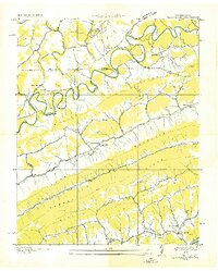 1935 Back Valley1935 Print · USGSThe Tennessee-Virginia borderlands in the mid-1930s reveal a landscape of river-bend settlements and mountain gaps. Genealogists can trace early homesteads and community centers like Wolfenbarger Ch, Mulberry Gap, and Sand Springs Sch along the river valleys.
 - 1935 Map of Plum Grove
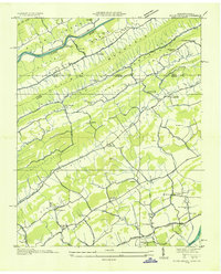 1935 Plum Grove1935 Print · USGSCrossing the Tennessee and Virginia border in the mid-1930s, this survey documents the ridge-and-valley settlements of Hawkins and Scott counties. Genealogists can locate family-named sites like Fansler and Wildcat or trace roots at Amos Chapel and Oak Lawn School.
 - 1935 Map of Sneedville
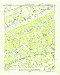 1935 Sneedville1935 Print · USGSThe Sneedville area in the mid-1930s reveals a ridge-and-valley landscape of small farms, local schools, and river power. Genealogists and historians can trace family locations through Vardy Community Sch, CCC Camp No 26, and river crossings like Brooks Ford.
 - 1939 Map of Plum Grove
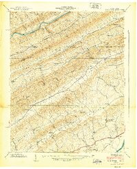 1939 Plum Grove1939 Print · USGSThe Tennessee-Virginia borderlands in the late thirties reveal a landscape of mountain ridges and narrow farm valleys. Genealogists and local historians can trace family locations through numerous rural landmarks like Amis Chapel, Chalybeate Springs, and the New Canton Sch.5 unique versions available
 - 1939 Map of Lee Valley, 1956 Print
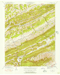 1939 Lee Valley1956 Print · USGSHawkins and Hancock Counties are shown here just before the mid-century, where ridges and valleys shaped a landscape of small farmsteads and rural schoolhouses. Researchers can trace family sites like Murrell Cem or find local centers like Lee Valley, Treadway, and Spruce Pine Sch.3 unique versions available
 - 1940 Map of Lee Valley
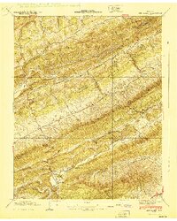 1940 Lee Valley1940 Print · USGSHawkins and Hancock Counties appear here at the start of the 1940s, showing a landscape defined by the ridgelines of Clinch Mountain. Local historians can trace old homesteads and community hubs like Lee Valley, Fairmont Sch, and the Morrell Cem.
 - 1941 Map of Swan Island, 1965 Print
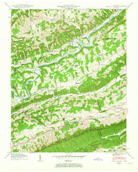 1941 Swan Island1965 Print · USGSHancock County in the early 1940s is captured in this survey of the river-carved ridges along the Clinch River. Researchers can locate dozens of family landmarks, from Lawson Mill and Manning Ferry to the Barnard Cem and Williams Cem.2 unique versions available
 - 1942 Map of Swan Island
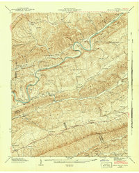 1942 Swan Island1942 Print · USGSThe ridges of East Tennessee meet the winding Clinch River during the early 1940s, a time when ferries and mills still served rural Hancock and Grainger counties. Genealogists can trace family roots through numerous sites like Barnard Cem, Lawson Mill, and Manning Ferry.
 - 1942 Map of Howard Quarter, 1957 Print
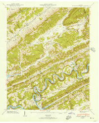 1942 Howard Quarter1957 Print · USGSThe borderlands of Claiborne and Hancock counties are shown here in the early 1940s as the Norris Reservoir transformed the winding Clinch River. Genealogists can trace family landmarks and rural life at Howard Quarter, Seal Chapel, and Mallicoat Cem.2 unique versions available
 - 1943 Map of Howard Quarter, 1946 Print
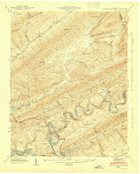 1943 Howard Quarter1946 Print · USGSMid-century Claiborne and Grainger Counties are defined here by the winding Clinch River and the early influence of the Norris Reservoir. Researchers can trace ancestral sites like Pearson Cem and old community hubs including Howard Quarter Sch and Seal Chapel.2 unique versions available
 - 1946 Map of Sneedville, 1958 Print
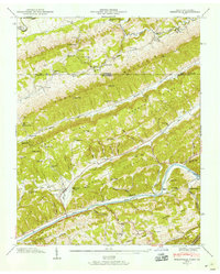 1946 Sneedville1958 Print · USGSHancock County and the Clinch River valley are shown here in the mid-1940s, a time when mountain gaps and river fords still shaped local life. Genealogists can trace family heritage through dozens of named sites like Vanderventer Cem, Thompson Mill, and Vardy Community Sch.3 unique versions available
 - 1946 Map of Back Valley, 1965 Print
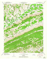 1946 Back Valley1965 Print · USGSHancock County and Lee County residents lived along the ridges and river bends of the Clinch and Powell rivers just after the war. Researchers can trace family sites at the Wolfenbarger Cem, locate the Thompson Mill site, or find old schoolhouses like Sunnyside Sch.2 unique versions available
 - 1946 Map of Colemen Gap, 1970 Print
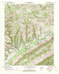 1946 Colemen Gap1970 Print · USGSThe Tennessee-Virginia border near Coleman Gap is defined by the winding Powell River and rural valley life in the mid-1940s. Genealogists can trace family footprints at Yeary Mill, Brooks Ferry, and the many cemeteries like Buchanan Cem or Ritchie Cem.
 - 1947 Map of Sneedville, 1949 Print
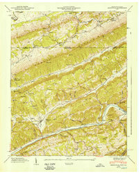 1947 Sneedville1949 Print · USGSHancock County is mapped here in the late 1940s as a landscape of tight-knit river communities and high mountain ridges. Genealogists can trace family names at Vanderventer Cem and Goins Cem or locate rural landmarks like Thompson Mill.
 - 1947 Map of Looneys Gap, 1970 Print
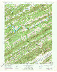 1947 Looneys Gap1970 Print · USGSThe Clinch River valley in the late 1940s and late 1960s reveals a landscape of isolated ridge-and-valley settlements straddling the Virginia and Tennessee border. Researchers can trace ancestral locations at the County Farm, the Wake Forest School, and family plots like Sizemore Cem.
 - 1948 Map of Back Valley, 1949 Print
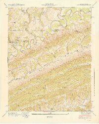 1948 Back Valley1949 Print · USGSThe Tennessee-Virginia borderlands in the late 1940s reveal a community tied to the Powell River and its numerous crossings. Researchers can trace rural life through sites like Thompson Mill, the Wolfenbarger Cem, and the river-crossing at Baldwin Ford.2 unique versions available
Showing maps 1-25 of 41
Top cities of Hancock County
Frequently asked questions
- What are the different types of historical maps available for Hancock County?
- What is the oldest map of Hancock County?
- Where can I purchase historical maps of Hancock County for my home or office?
- Where can I download high-res historical maps of Hancock County?
- Are there historical topographic maps available for Hancock County?
- Is there historical aerial imagery available for Hancock County?
- Where are historical maps of Hancock County sourced from?