2000s (21st Century) Maps of Hancock County, Tennessee
Explore 45 historic maps of Hancock County from the 2000s (21st Century). These maps offer a rare glimpse into what life looked like during the 2000s — showing old roads, neighborhoods, homes, and landmarks that have changed or disappeared over time.
Whether you're researching your family's past, planning a metal detecting trip, or studying how Hancock County's landscape evolved across the 2000s, these high-resolution maps are a powerful tool for exploring the history of this region.
- Focus on a specific era: All maps on this page are from the 2000s, giving you a focused view of this time period.
- See what’s changed: Compare century-old streets, trails, and buildings to today's modern landscape using overlays and satellite layers.
- Research with precision: Use these maps for genealogy, historical research, land use analysis, or educational projects.
- View, download, or print: Maps are fully viewable online in high resolution, and can be downloaded or printed for your own records.
Start exploring Hancock County's history through authentic maps from the 2000s. This is your window into the past.
Hancock County, TN maps
(45)- 2010 Map of Howard Quarter, 2010 Print
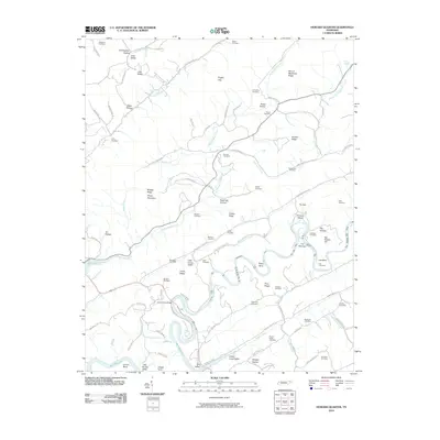 2010 Howard Quarter2010 Print · USGSClaiborne County at the start of the 2010s reveals a landscape of deep river bends and numerous family burial grounds. Local historians can trace generations of residents through sites like Howardton Cemetery, Bundren Cemetery, and the historic crossing at Evans Ferry Bridge.
 - 2010 Map of Swan Island, 2010 Print
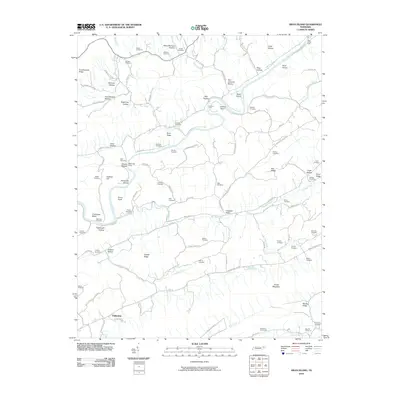 2010 Swan Island2010 Print · USGSHancock County's river valleys and ridgelines are captured here in the early 21st century, showing a landscape defined by the Clinch River. Genealogists can locate dozens of family burial grounds such as Bray Cemetery, Hensley Cemetery, and the river crossing at Manning Ferry.
 - 2010 Map of Lee Valley, 2010 Print
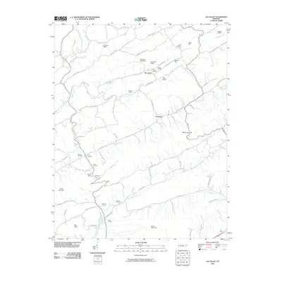 2010 Lee Valley2010 Print · USGSHancock County's rural landscape is captured here in the early twenty-first century, showing the enduring settlement patterns of the Clinch River valley. Genealogists and local historians can locate family landmarks like Murrell Cemetery and the Treadway Post Office.
 - 2010 Map of Looneys Gap, 2010 Print
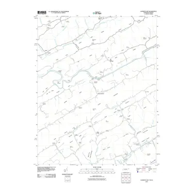 2010 Looneys Gap2010 Print · USGSThe Tennessee-Virginia borderlands are captured here at the turn of the 21st century, showing a landscape defined by the winding Clinch River and ridge-and-valley terrain. Genealogists can trace deep local roots at Moneyhun Cemetery, Jennings Store, and river crossings like Tigners Ford.
 - 2010 Map of Plum Grove, 2010 Print
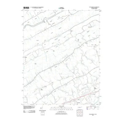 2010 Plum Grove2010 Print · USGSNortheastern Tennessee at the dawn of the 2010s reveals a landscape defined by the parallel ridges of Clinch Mountain. Genealogists and local historians can trace the rural road networks connecting New Canton, Greenland, and the historic crossing at Hord Ford.
 - 2010 Map of Coleman Gap, 2010 Print
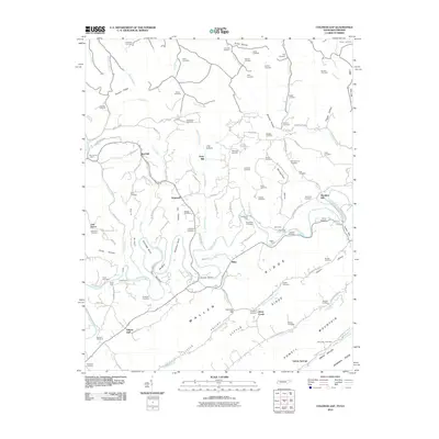 2010 Coleman Gap2010 Print · USGSThe Tennessee and Virginia borderlands come alive in this study of the Powell River valley during the early twenty-first century. Genealogists can trace family legacies across dozens of sites including Rosenbalm Cemetery, Yeary Mill, and the crossings at Brooks Ferry.
 - 2010 Map of Sneedville, 2010 Print
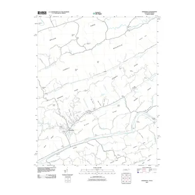 2010 Sneedville2010 Print · USGSHancock County is mapped here during a period of modern stability, showing the traditional mountain settlements and river crossings of East Tennessee. Genealogists can locate family landmarks like Thompson Mill, Snodgrass Ford, and the Vanderventer Cemetery.
 - 2010 Map of Kyles Ford, 2010 Print
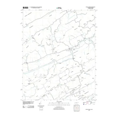 2010 Kyles Ford2010 Print · USGSThe Clinch River valley in the early twenty-first century remains a landscape of deep family roots and small river settlements. Genealogists can locate dozens of ancestral burial sites like Bledsoe Cemetery and Testerman Cemetery or trace the old roads connecting Kyles Ford and Eidson.
 - 2011 Map of Back Valley, 2011 Print
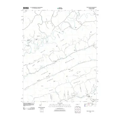 2011 Back Valley2011 Print · USGSHancock County and Lee County are captured in the early twenty-first century, showing the complex ridges and river bends of the Tennessee-Virginia border. Genealogists and hikers can trace family sites like Wolfenbarger Cemetery and land features like Bales Gap or Fletcher Cliff.
 - 2013 Map of Lee Valley, 2013 Print
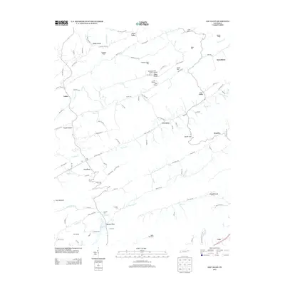 2013 Lee Valley2013 Print · USGSHancock County and the Clinch Mountain foothills are captured here in the early twenty-first century, showcasing a landscape of isolated valleys and ridge-top gaps. Trace local family roots and rural hamlets at Spruce Pine, Treadway, and Murrell Cem.
 - 2013 Map of Kyles Ford, 2013 Print
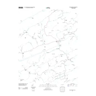 2013 Kyles Ford2013 Print · USGSThe Clinch River valley and its surrounding ridges come into focus in this early twenty-first-century survey of the Tennessee-Virginia border. Genealogists can locate dozens of family burial sites like Testerman Cem and Sizemore Cem near settlements such as Eidson and Kyles Ford.
 - 2013 Map of Plum Grove, 2013 Print
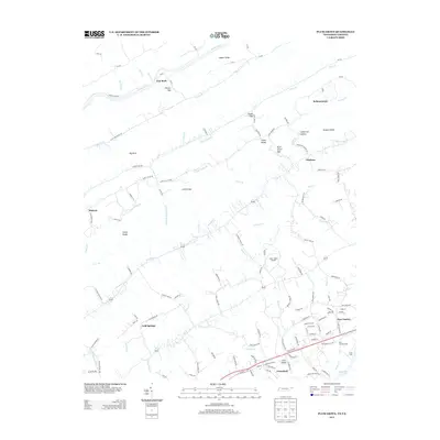 2013 Plum Grove2013 Print · USGSIn the early twenty-first century, the Tennessee-Virginia borderlands remain a landscape of ridge-and-valley farming and small crossroads. Researchers can trace family-named landmarks like Bellamytown and Okolona or locate the historic Hord Ford near New Canton.
 - 2013 Map of Looneys Gap, 2013 Print
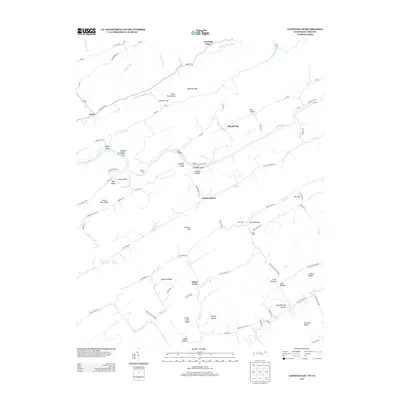 2013 Looneys Gap2013 Print · USGSThe Tennessee and Virginia borderlands come into focus in this recent study of the Clinch River valley. Genealogists and local historians can trace family-named river crossings and settlements like Tigners Ford, Hortons Island, and Snow Flake.
 - 2013 Map of Howard Quarter, 2013 Print
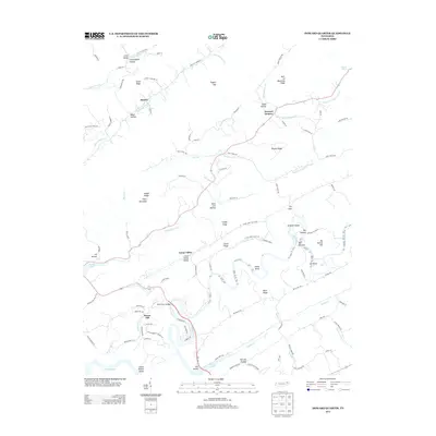 2013 Howard Quarter2013 Print · USGSClaiborne County in the early twenty-first century reveals a landscape shaped by the Clinch River and its deep limestone valleys. Genealogists and local historians can trace family locations near Howard Quarter, find the path of Liberty Cemetery Ln, or locate river landmarks like The Narrows.
 - 2013 Map of Sneedville, 2013 Print
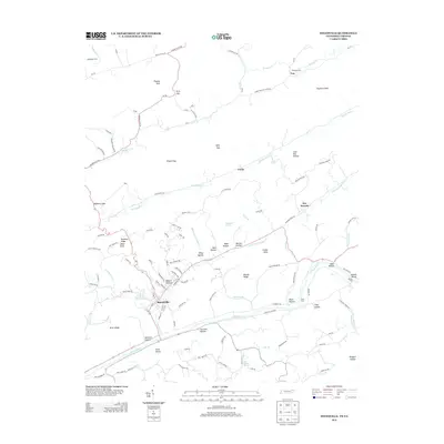 2013 Sneedville2013 Print · USGSHancock County enters the twenty-first century with its traditional river-bound topography and ridge-top landmarks intact. Local researchers can trace family lands near Sneedville, old river crossings like Frost Ford, and rural hubs such as Vardy and Thompson Mill.
 - 2013 Map of Swan Island, 2013 Print
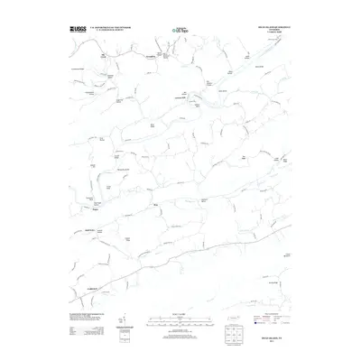 2013 Swan Island2013 Print · USGSHancock County in the early 21st century remains defined by the winding Clinch River and its steep Tennessee ridges. Trace the legacy of river crossings and mountain life through Manning Ferry, Lawson Mill, and the small community of Xenophon.
 - 2013 Map of Coleman Gap, 2013 Print
 2013 Coleman Gap2013 Print · USGSThe Powell River valley on the Tennessee-Virginia border is shown here during the early twenty-first century. Genealogists and local historians can trace family-named sites and river crossings like Brooks Ferry, Yeary Mill, and Fugate Ford.
 - 2013 Map of Back Valley, 2013 Print
 2013 Back Valley2013 Print · USGSCrossing the Tennessee-Virginia border in the early 2000s, this area reveals a landscape of river fords and mountain gaps. Genealogists can trace family-named hollows and historic river crossings like Thompson Mill, Snodgrass Ford, and Seal Mathis.
 - 2016 Map of Swan Island, 2016 Print
 2016 Swan Island2016 Print · USGSThe Clinch River Valley in the mid-2010s reveals a landscape deeply etched by its ridges and family histories. Researchers can trace numerous family-named landmarks and burial sites, from Lawson Mill to the Hensley and Bray cemeteries.
 - 2016 Map of Sneedville, 2016 Print
 2016 Sneedville2016 Print · USGSSneedville and the Clinch River valley are shown here in the mid-2010s, nestled between the high peaks of Wallen Ridge and Newman Ridge. Local historians can trace dozens of family burial sites like Gollithon Cem and the remote Vardy settlement.
 - 2016 Map of Coleman Gap, 2016 Print
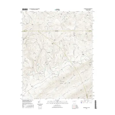 2016 Coleman Gap2016 Print · USGSThe Tennessee and Virginia borderlands come alive in this survey, showing a landscape defined by the winding Powell River. Local historians can trace family roots at numerous rural sites like Rosenbalm Cem, Yeary Mill, and Hopewell.
 - 2016 Map of Back Valley, 2016 Print
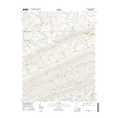 2016 Back Valley2016 Print · USGSThe Tennessee-Virginia borderlands near the Powell River are shown in detail as they appeared in 2016. Local history researchers can trace family landmarks and rural life through Wolfenbarger Cem, the site of Thompson Mill, and gaps like Bales Gap.
 - 2016 Map of Lee Valley, 2016 Print
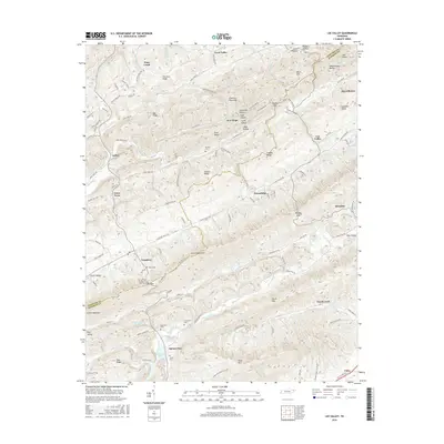 2016 Lee Valley2016 Print · USGSHancock and Hawkins counties appear here in the mid-2010s, showing a landscape shaped by the ridges and hollows of eastern Tennessee. Local historians can trace old family burial sites like McGinnis Cem and Lovett Cem or explore the rural layout of Treadway, Klondike, and Spruce Pine.
 - 2016 Map of Howard Quarter, 2016 Print
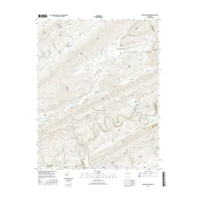 2016 Howard Quarter2016 Print · USGSEast Tennessee ridge-and-valley life is captured here in the mid-2010s, centered on the Clinch River and the settlement of Howard Quarter. Genealogists can trace decades of family history through numerous rural burial sites like Spradling Cem and Lynch Cem.
 - 2016 Map of Kyles Ford, 2016 Print
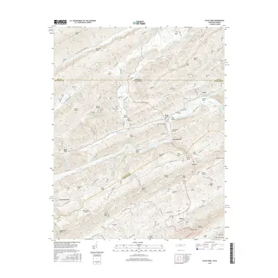 2016 Kyles Ford2016 Print · USGSThe Tennessee-Virginia borderlands near Kyles Ford are captured here in the mid-2010s, showing a landscape shaped by the Clinch River. Genealogists can trace deep local roots through family-named sites like Livesay Mill, Wallen Cem, and Jaynes Cem.
Showing maps 1-25 of 45
Top cities of Hancock County
Frequently asked questions
- What are the different types of historical maps available for Hancock County?
- What is the oldest map of Hancock County?
- Where can I purchase historical maps of Hancock County for my home or office?
- Where can I download high-res historical maps of Hancock County?
- Are there historical topographic maps available for Hancock County?
- Is there historical aerial imagery available for Hancock County?
- Where are historical maps of Hancock County sourced from?