2000s (21st Century) Maps of McEwen, Tennessee
Explore 20 historic maps of McEwen from the 2000s (21st Century). These maps offer a rare glimpse into what life looked like during the 2000s — showing old roads, neighborhoods, homes, and landmarks that have changed or disappeared over time.
Whether you're researching your family's past, planning a metal detecting trip, or studying how McEwen's landscape evolved across the 2000s, these high-resolution maps are a powerful tool for exploring the history of this region.
- Focus on a specific era: All maps on this page are from the 2000s, giving you a focused view of this time period.
- See what’s changed: Compare century-old streets, trails, and buildings to today's modern landscape using overlays and satellite layers.
- Research with precision: Use these maps for genealogy, historical research, land use analysis, or educational projects.
- View, download, or print: Maps are fully viewable online in high resolution, and can be downloaded or printed for your own records.
Start exploring McEwen's history through authentic maps from the 2000s. This is your window into the past.
McEwen, TN maps
(20)- 2010 Map of McEwen, 2010 Print
 2010 McEwen2010 Print · USGSCovers McEwen, including Waverly, Bethpage, and other nearby areas
 - 2010 Map of Ruskin, 2010 Print
 2010 Ruskin2010 Print · USGSCovers McEwen, including Spring Valley, Thompsons Crossroads, and other nearby areas
 - 2010 Map of Woolworth, 2010 Print
 2010 Woolworth2010 Print · USGSCovers McEwen, including Silvertop, Woolworth, and other nearby areas
 - 2010 Map of Tennessee City, 2010 Print
 2010 Tennessee City2010 Print · USGSCovers McEwen, including Jason Chapel, Few Chapel, and other nearby areas
 - 2013 Map of Tennessee City, 2013 Print
 2013 Tennessee City2013 Print · USGSCovers McEwen, including Jason Chapel, Few Chapel, and other nearby areas
 - 2013 Map of McEwen, 2013 Print
 2013 McEwen2013 Print · USGSCovers McEwen, including Waverly, Bethpage, and other nearby areas
 - 2013 Map of Ruskin, 2013 Print
 2013 Ruskin2013 Print · USGSCovers McEwen, including Spring Valley, Thompsons Crossroads, and other nearby areas
 - 2013 Map of Woolworth, 2013 Print
 2013 Woolworth2013 Print · USGSCovers McEwen, including Silvertop, Woolworth, and other nearby areas
 - 2016 Map of Woolworth, 2016 Print
 2016 Woolworth2016 Print · USGSCovers McEwen, including Silvertop, Woolworth, and other nearby areas
 - 2016 Map of McEwen, 2016 Print
 2016 McEwen2016 Print · USGSCovers McEwen, including Waverly, Bethpage, and other nearby areas
 - 2016 Map of Tennessee City, 2016 Print
 2016 Tennessee City2016 Print · USGSCovers McEwen, including Jason Chapel, Few Chapel, and other nearby areas
 - 2016 Map of Ruskin, 2016 Print
 2016 Ruskin2016 Print · USGSCovers McEwen, including Spring Valley, Thompsons Crossroads, and other nearby areas
 - 2019 Map of Ruskin, 2019 Print
 2019 Ruskin2019 Print · USGSCovers McEwen, including Spring Valley, Thompsons Crossroads, and other nearby areas
 - 2019 Map of McEwen, 2019 Print
 2019 McEwen2019 Print · USGSCovers McEwen, including Waverly, Bethpage, and other nearby areas
 - 2019 Map of Woolworth, 2019 Print
 2019 Woolworth2019 Print · USGSCovers McEwen, including Silvertop, Woolworth, and other nearby areas
 - 2019 Map of Tennessee City, 2019 Print
 2019 Tennessee City2019 Print · USGSCovers McEwen, including Jason Chapel, Few Chapel, and other nearby areas
 - 2022 Map of Tennessee City, 2022 Print
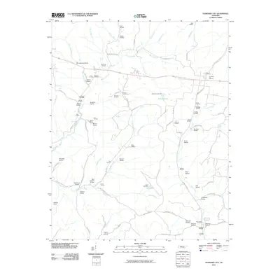
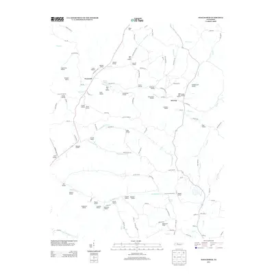
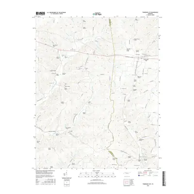
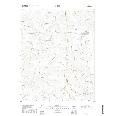
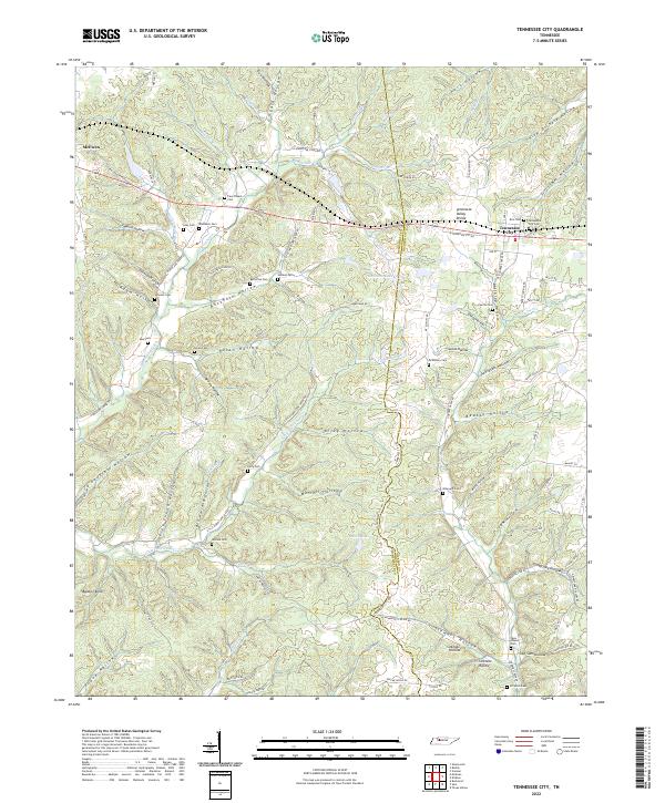 2022 Tennessee City2022 Print · USGSTennessee City and the eastern edge of McEwen are captured here in the early twenty-first century, showing the rural settlement patterns along the Tennessee Valley Divide. Researchers can trace local family history through numerous small burial sites, including Washburn Cem, McElhiney Cem, and Few Chapel Cem.
 - 2022 Map of Ruskin, 2022 Print
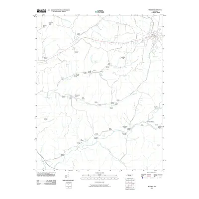
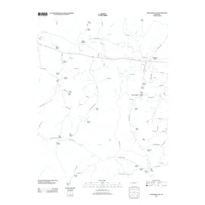
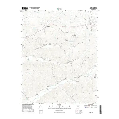
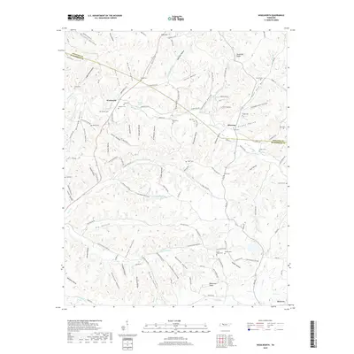
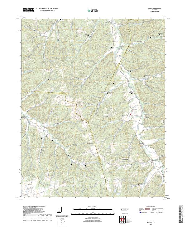 2022 Ruskin2022 Print · USGSThe tri-county border of Houston, Humphreys, and Dickson counties comes to life in this detailed topographic study of Tennessee's hollows. Genealogists can trace family roots through numerous burial sites like Coleman Brown Cem and Adams - Nesbitt Cem or locate old community hubs at Ruskin and Edgewood.
 - 2022 Map of McEwen, 2022 Print
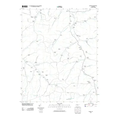
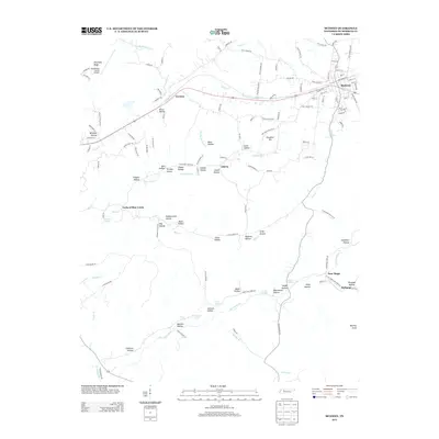
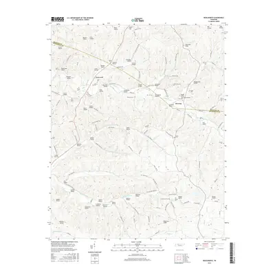
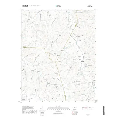
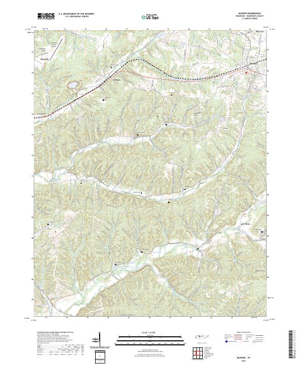 2022 McEwen2022 Print · USGSEastern Humphreys County comes alive in this modern survey, capturing the rail corridor between McEwen and Gorman. Researchers can trace generational family footprints through numerous cemeteries like Bethpage Cem or navigate the winding roads of Hedge Hollow and Butts Hollow.
 - 2022 Map of Woolworth, 2022 Print
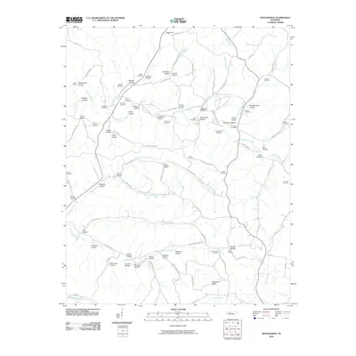
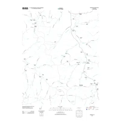
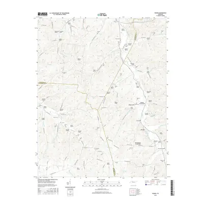
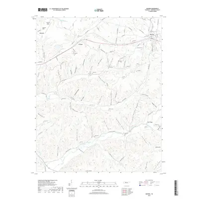
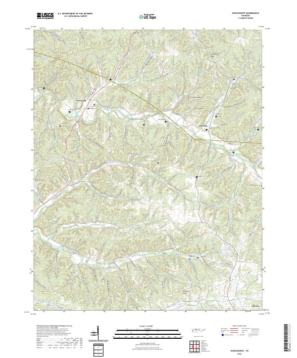 2022 Woolworth2022 Print · USGSThe Tennessee hill country near the Houston and Humphreys county line is revealed here through its intricate system of hollows and family homesteads. Researchers can locate numerous family burial grounds like Sinks Cem and Batson Cem or trace the early paths of Woolworth Road and the high ground of Tennessee Ridge.
End of results
Showing maps 1-20 of 20
Top cities near McEwen
- Dickson historical maps
- Waverly historical maps
- Erin historical maps
- Vanleer historical maps
- Slayden historical maps
Frequently asked questions
- What are the different types of historical maps available for McEwen?
- What is the oldest map of McEwen?
- Where can I purchase historical maps of McEwen for my home or office?
- Where can I download high-res historical maps of McEwen?
- Are there historical topographic maps available for McEwen?
- Is there historical aerial imagery available for McEwen?
- Where are historical maps of McEwen sourced from?