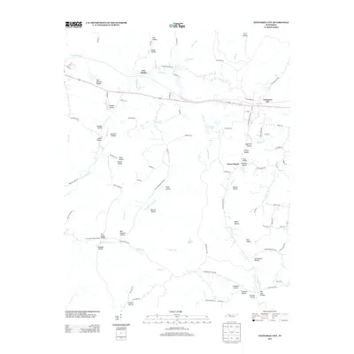
2013 Map of Tennessee City
USGS Topo · Published 2013About this map
Tennessee City sits along the northern rail corridor, serving as a primary settlement in this part of Dickson County. The landscape is defined by a dense network of hollows, many bearing the names of local families such as Ples Euqua Hollow, Ben Holland Hollow, and Balthrop Hollow. These drainage systems feed into prominent water bodies like Hurricane Cr and Garner Cr, which carve through the terrain between small community centers like Jason Chapel and Few Chapel. The presence of Burch Lake and Simmons Lake indicates local water management within the wooded hills. Historically-minded researchers can trace the development of rural infrastructure through the various numbered routes and local lanes, including Little Hurricane Creek Rd and Grindstone Hollow Rd, which connect these dispersed family homesteads and valley settlements.
Find a feature on this map
102 named features on this map. Tap any name to fly to it.
Don’t see what you’re looking for? This feature index may not catch every label — zoom into the map to look around manually.
Map Details
Editions of this 2013 Tennessee City Map
This is the sole edition of this map. No revisions or reprints were ever made.
Other maps of this area

1901 · Colombia
USGS Topo · 1:125,000

1936 · Gorman
USGS Topo · 1:24,000

1936 · Woolworth
USGS Topo · 1:24,000

1936 · Ruskin
USGS Topo · 1:24,000

1936 · Bucksnort
USGS Topo · 1:24,000

1936 · Texas Hollow
USGS Topo · 1:24,000

1936 · Spot
USGS Topo · 1:24,000

1936 · Tennessee City
USGS Topo · 1:24,000

1936 · Dickson
USGS Topo · 1:24,000
1952 · Bucksnort
USGS Topo · 1:24,000