Old Maps of New Market, Tennessee for Academic Research
Study the evolution of New Market with 26 high-resolution historic maps. Whether you're teaching, researching, or modeling changes in land use, these maps provide essential visual documentation of urban, environmental, and geographic change.
- Analyze long-term change: Track patterns in development, transportation, and natural features.
- Ideal for environmental or urban studies: Support academic projects with primary historical map data.
- Use in the classroom or lab: Educators and researchers rely on these maps to bring historical context to life.
These maps are a powerful tool for teaching, research, and visualizing how New Market has changed over the decades.
New Market, TN maps
(26)- 1897 Map of Maynardville
 1897 Maynardville1897 Print · USGSEast Tennessee in the late nineteenth century was a landscape of high ridges and vital river fords. Genealogists and historians can trace old homesteads and transit hubs like Nances Ferry, the Lead Mine at New Prospect, and Massongills Mill.
 - 1900 Map of Maynardville
 1900 Maynardville1900 Print · USGSEast Tennessee was a world of river fords and mountain gaps at the turn of the century, dominated by the winding Clinch and Powell rivers. Genealogists can trace family roots through specific landmarks like Massongills Mill, Church Grove, and Sharps Chapel.4 unique versions available
 - 1935 Map of Straw Plains
 1935 Straw Plains1935 Print · USGSEast Tennessee life in the mid-1930s is centered on the winding Holston River and the bustling Southern railroad corridor. Researchers can trace family roots at Hickle Cem, find the site of Massengale Mill, or locate Indian Cave.
 - 1935 Map of Joppa
 1935 Joppa1935 Print · USGSThe rural Holston River valley comes to life in the mid-1930s, showing a landscape defined by family-named stores and river crossings. Genealogists and historians can trace local life through sites like Indian Cave Ferry, Haworth Cem, and CCC Camp No 8.
 - 1935 Map of New Market
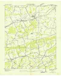 1935 New Market1935 Print · USGSJefferson County was undergoing significant modernization in the mid-1930s as the Tennessee Valley Authority mapped its growing infrastructure. Researchers can trace old family sites and industrial history through Dinwoody Mill, the SOUTHERN rail stops at Friends Station, and the Shrader Chapel Sch.
 - 1938 Map of Joppa, 1954 Print
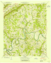 1938 Joppa1954 Print · USGSGrainger and Jefferson counties are captured here in the late 1930s, as the winding HOLSTON RIVER dictates the rhythm of rural life. Researchers can locate family roots at HAWORTH CEM, visit New Corinth Ch, or trace the legacy of CCC Camp No 8.
 - 1939 Map of Joppa
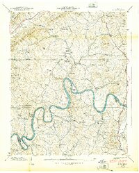 1939 Joppa1939 Print · USGSGrainger and Jefferson counties come alive in the late 1930s as the river economy and conservation projects shape the landscape. Researchers can trace family homesteads near Massengill Mill, visit the grounds of CCC Camp No 8, or locate the site of Indian Cave.
 - 1939 Map of New Market, 1956 Print
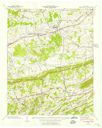 1939 New Market1956 Print · USGSJefferson County was an active landscape of zinc mining and valley farming just before the mid-century. Researchers can trace ancestral locations like Nances Grove, family-run landmarks like French Mill, and local burial sites including Westview Cem.
 - 1940 Map of New Market
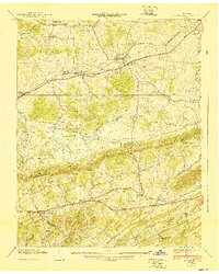 1940 New Market1940 Print · USGSJefferson County's rural and industrial landscape is captured here in the years before the war, centered on the New Market rail corridor. Genealogists and historians can locate family landmarks like Dinwoody Mill, trace the SOUTHERN railroad line, and find old burial grounds such as Caldwell Cem.2 unique versions available
 - 1955 Map of Johnson City
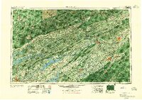 1955 Johnson City1955 Print · USGSEast Tennessee and the bordering highlands of Virginia and Kentucky appear here during the post-war industrial boom. You can trace the complex network of mountain ridges and new TVA lakes, from Johnson City to the coalfields near Middlesboro and Lynch.
 - 1957 Map of Johnson City, 1966 Print
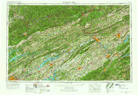 1957 Johnson City1966 Print · USGSUpper East Tennessee and Southwest Virginia are shown here during the mid-sixties transition of the Appalachians. Researchers can trace the industrial rail hubs of Kingsport, the sprawling waters of Cherokee Lake, and the historic Cumberland Gap.
 - 1960 Map of Johnson City
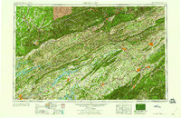 1960 Johnson City1960 Print · USGSUpper East Tennessee and the surrounding tri-state area are shown in the mid-fifties during the height of the TVA reservoir era. Trace the industrial rail lines of the Southern and Louisville and Nashville between Kingsport and Johnson City.
 - 1961 Map of Joppa, 1962 Print
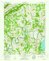 1961 Joppa1962 Print · USGSGrainger and Jefferson counties in the early sixties reveal a landscape of deep river bends and established family homesteads. Researchers can trace ancestral sites like the Massengill Mill, Fielden Store, and numerous burial sites including Sulphur Spring Cem.3 unique versions available
 - 1961 Map of New Market, 1963 Print
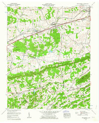 1961 New Market1963 Print · USGSJefferson County in the early sixties was a landscape of deep-rooted settlements and active industry. Genealogists can locate family landmarks such as French Mill, Wooten Chapel, and numerous cemeteries including Loy Memorial Cem and Piedmont Cem.3 unique versions available
 - 1963 Map of Johnson City
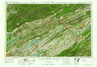 1963 Johnson City1963 Print · USGSThe Tri-Cities and the surrounding Appalachian ridges are shown in detail during the early sixties, highlighting the era's vital rail and river networks. Genealogists and historians can trace the routes of the Clinchfield RR and locate settlements from Rogersville to Elizabethton.
 - 1981 Map of Morristown
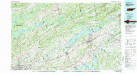 1981 Morristown1981 Print · USGSEast Tennessee's ridge-and-valley corridor is captured here in the early eighties, showing the region's transformation by TVA reservoirs. Genealogists and historians can trace family locations near Alpha Ch, follow the Southern Railway, or locate the Young Mine.
 - 2010 Map of Joppa, 2010 Print
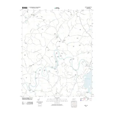 2010 Joppa2010 Print · USGSThe banks of the Holston River and the reaches of Cherokee Lake provide a detailed look at Jefferson County in the early twenty-first century. Genealogists can trace family names through sites like Joppa Cemetery, Trogdons Ford, and Mill Spring Mill.
 - 2010 Map of New Market, 2010 Print
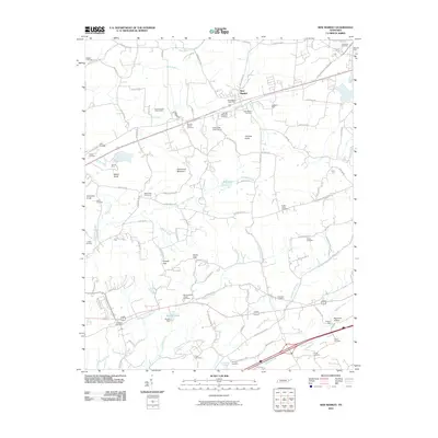 2010 New Market2010 Print · USGSThe community of New Market and the surrounding Tennessee hills are captured here just after the turn of the millennium. Researchers can trace the region's industrial and family ties through the North Friends Station Mine, French Mill, and McBee Cemetery.
 - 2013 Map of New Market, 2013 Print
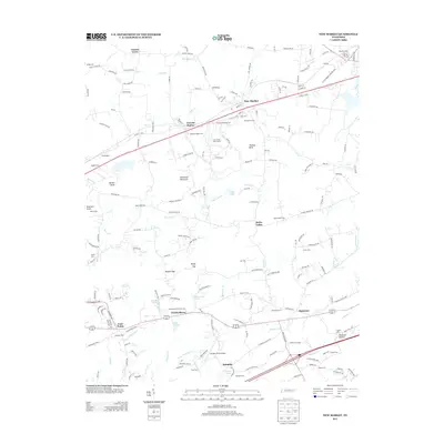 2013 New Market2013 Print · USGSNew Market and the surrounding Tennessee valleys are captured here in the early twenty-first century, showing a landscape of deep-rooted settlements and family farms. Local historians can trace family names and historic sites from Friends Station to the French Mill and Wooten Chapel Cem.
 - 2013 Map of Joppa, 2013 Print
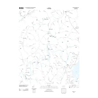 2013 Joppa2013 Print · USGSThe rural valleys and river bends of East Tennessee are captured here just over a decade ago. Genealogists and local historians can trace family landmarks and historical industry at Massengill Mill, Buffalo Springs, and Trogdons Ford.
 - 2016 Map of Joppa, 2016 Print
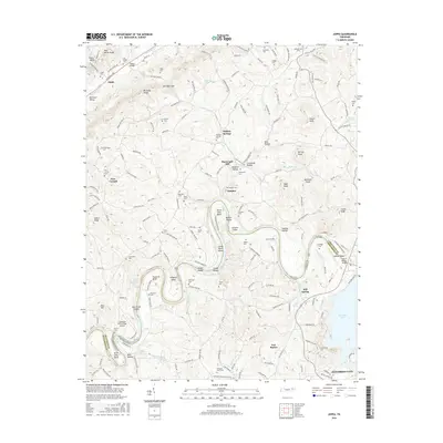 2016 Joppa2016 Print · USGSThe Holston River winding through the Tennessee countryside defines this era of rural settlement and river-bound geography. Genealogists can trace family connections through numerous sites like Buffalo Springs Cem, Massengill Mill, and the quiet community of Joppa.
 - 2016 Map of New Market, 2016 Print
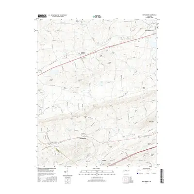 2016 New Market2016 Print · USGSEast Tennessee's rolling gaps and ridges are captured here in the mid-2010s, showing the enduring rural character of the Jefferson and Sevier County line. Genealogists can trace family roots through numerous sites like McCampbells Chapel Cem, Oakes Cem, and the community at Friends Station.
 - 2019 Map of Joppa, 2019 Print
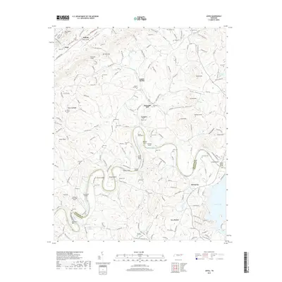 2019 Joppa2019 Print · USGSThe river-and-ridge country of East Tennessee is captured here in the late twenty-tens, showing the complex terrain between the Holston River and Richland Valley. Genealogists can trace family landmarks like Massengill Mill, Jim Walker Cem, and the old crossroads at Buffalo Springs.
 - 2019 Map of New Market, 2019 Print
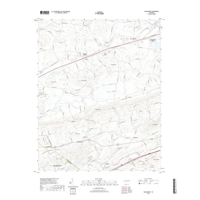 2019 New Market2019 Print · USGSJefferson and Sevier counties appear in this detailed 2019 survey as the historic valley communities maintain their rural character. Genealogists can trace local roots through numerous sites like McCampbells Chapel Cem, Woolardtown, and Friends Station.
 - 2022 Map of New Market, 2022 Print
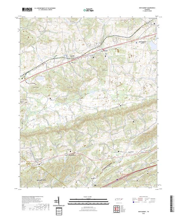 2022 New Market2022 Print · USGSJefferson and Sevier counties are shown here in modern detail, where ridge-and-valley terrain shapes the historic settlements of New Market and Friends Station. Researchers can trace family roots through numerous local sites like McCampbells Chapel Cem and Piedmont.
Showing maps 1-25 of 26
Top cities near New Market
- Knoxville historical maps
- Morristown historical maps
- Sevierville historical maps
- Jefferson City historical maps
- Maynardville historical maps
- Bean Station historical maps
See more
Frequently asked questions
- What are the different types of historical maps available for New Market?
- What is the oldest map of New Market?
- Where can I purchase historical maps of New Market for my home or office?
- Where can I download high-res historical maps of New Market?
- Are there historical topographic maps available for New Market?
- Is there historical aerial imagery available for New Market?
- Where are historical maps of New Market sourced from?