2000s (21st Century) Maps of Johnson County, Tennessee
Explore 62 historic maps of Johnson County from the 2000s (21st Century). These maps offer a rare glimpse into what life looked like during the 2000s — showing old roads, neighborhoods, homes, and landmarks that have changed or disappeared over time.
Whether you're researching your family's past, planning a metal detecting trip, or studying how Johnson County's landscape evolved across the 2000s, these high-resolution maps are a powerful tool for exploring the history of this region.
- Focus on a specific era: All maps on this page are from the 2000s, giving you a focused view of this time period.
- See what’s changed: Compare century-old streets, trails, and buildings to today's modern landscape using overlays and satellite layers.
- Research with precision: Use these maps for genealogy, historical research, land use analysis, or educational projects.
- View, download, or print: Maps are fully viewable online in high resolution, and can be downloaded or printed for your own records.
Start exploring Johnson County's history through authentic maps from the 2000s. This is your window into the past.
Johnson County, TN maps
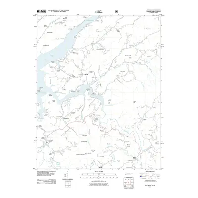
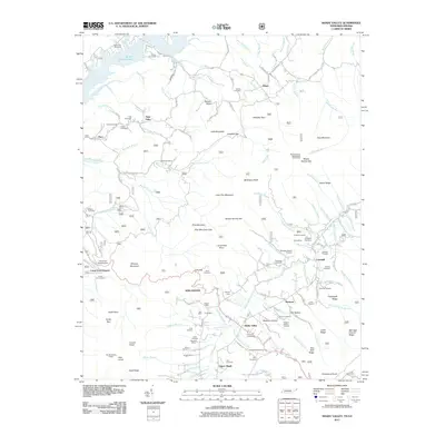
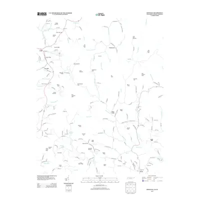
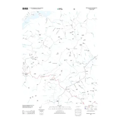
(62)- 2003 Map of Baldwin Gap, 2004 Print
 2003 Baldwin Gap2004 Print · USGSThe high ridges of the North Carolina and Tennessee border come alive in this early 2000s survey of the Appalachian highlands. Genealogists can trace family landmarks like the Winebarger Cemetery, Forge School, and the Rock Creek Baptist Church.
 - 2003 Map of Grayson, 2004 Print
 2003 Grayson2004 Print · USGSThe tri-state borderlands of Tennessee, Virginia, and North Carolina are mapped here during the early 2000s. Researchers can locate remote family landmarks and rural institutions, from Burnt School Cem to Farmers Store and Big Laurel Ch.
 - 2003 Map of Shady Valley, 2004 Print
 2003 Shady Valley2004 Print · USGSSullivan and Johnson counties in the early 2000s show a mountain landscape defined by national forests and the South Holston Lake shoreline. Genealogists can locate family burial grounds like Potter Cem and Wyatt Cem alongside the historic Appalachian Trail.
 - 2003 Map of Elk Mills, 2004 Print
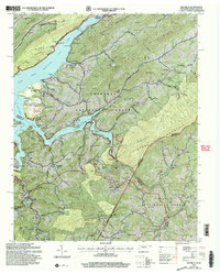 2003 Elk Mills2004 Print · USGSWatauga Lake and the Cherokee National Forest dominate the Tennessee and North Carolina border in the early 2000s. Genealogists can locate family landmarks like Wagner Cem and Dry Hill Cem or trace the early community at Elk Mills.
 - 2003 Map of Watauga Dam, 2004 Print
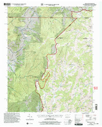
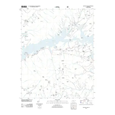
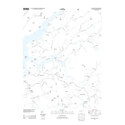
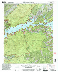 2003 Watauga Dam2004 Print · USGSThe Iron Mountains and the waters of Watauga Lake define this part of Carter County in the early 2000s. Genealogists can locate family landmarks like Whitehead Cem and Nidiffer Cem or trace the Appalachian Trail through the wilderness.
 - 2003 Map of Carter, 2004 Print
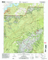
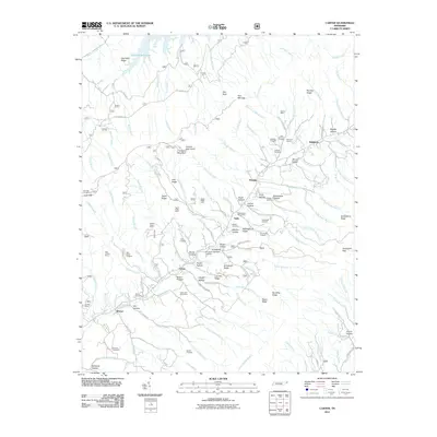
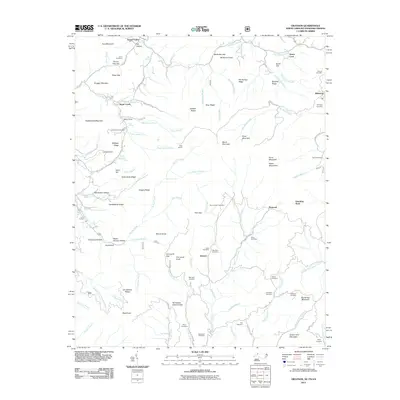
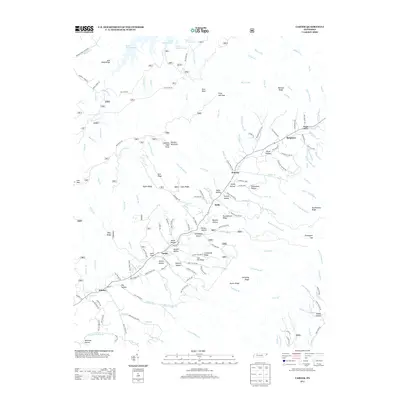
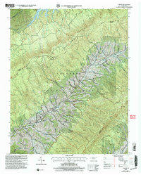 2003 Carter2004 Print · USGSNortheast Tennessee’s mountain communities appear at the start of the new millennium as the Cherokee National Forest and local valleys maintain their traditional structure. Trace family history through Stoutson Cem, Unaka Sch, and the settlements of Buladeen and Sadie.
 - 2003 Map of Mountain City, 2004 Print
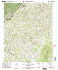
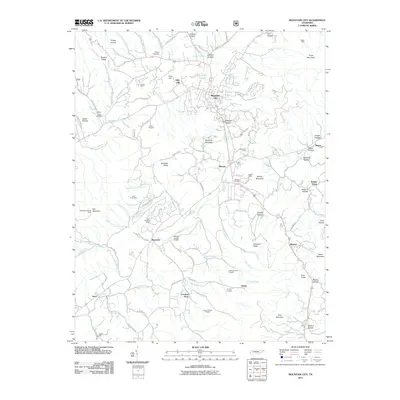
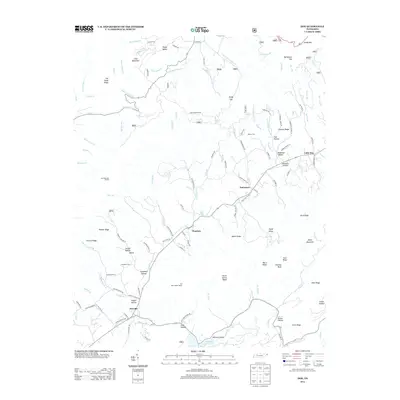
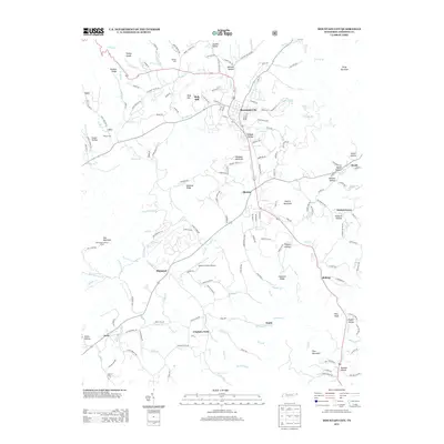
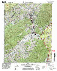 2003 Mountain City2004 Print · USGSThe Johnson County seat and the surrounding Cherokee National Forest are captured in this turn-of-the-millennium survey. Genealogists and historians can trace local family landmarks like Donley Cem, Brownlow Sch, and Shouns Chapel Sch.
 - 2010 Map of Zionville, 2010 Print
 2010 Zionville2010 Print · USGSCovers Johnson County, including Trade, Sands, and other nearby areas
 - 2011 Map of Watauga Dam, 2011 Print
 2011 Watauga Dam2011 Print · USGSCovers Johnson County, including Bear Stand, Little Milligan, and other nearby areas
 - 2011 Map of Doe, 2011 Print
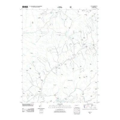 2011 Doe2011 Print · USGSCovers Johnson County, including Damascus, Pandora, and other nearby areas
 - 2011 Map of Carter, 2011 Print
 2011 Carter2011 Print · USGSCovers Johnson County, including Buladeen, Winner, and other nearby areas
 - 2011 Map of Mountain City, 2011 Print
 2011 Mountain City2011 Print · USGSCovers Johnson County, including Mountain City, Walnut Grove, and other nearby areas
 - 2011 Map of Elk Mills, 2011 Print
 2011 Elk Mills2011 Print · USGSCovers Johnson County, including Dry Hill, Beech Creek, and other nearby areas
 - 2011 Map of Sherwood, 2011 Print
 2011 Sherwood2011 Print · USGSCovers Johnson County, including Sweetwater, Reese, and other nearby areas
 - 2011 Map of Baldwin Gap, 2011 Print
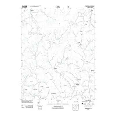
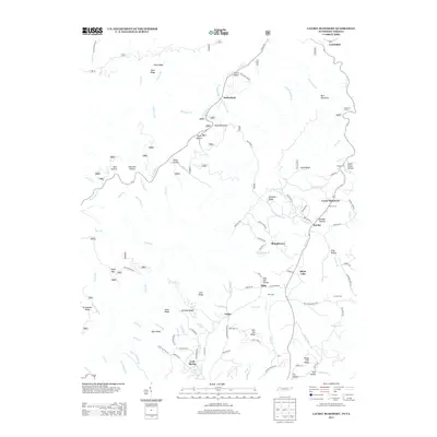
 2011 Baldwin Gap2011 Print · USGSCovers Johnson County, including Ashland, Osborn, and other nearby areas
 - 2011 Map of Laurel Bloomery, 2011 Print
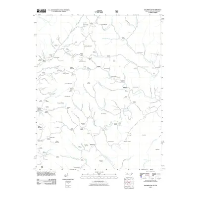
 2011 Laurel Bloomery2011 Print · USGSCovers Johnson County, including Damascus, Wills, and other nearby areas
 - 2011 Map of Shady Valley, 2011 Print
 2011 Shady Valley2011 Print · USGSCovers Johnson County, including Offset, Camp Tom Howard, and other nearby areas
 - 2011 Map of Grayson, 2011 Print
 2011 Grayson2011 Print · USGSCovers Johnson County, including Flatwood, Taylors Valley, and other nearby areas
 - 2013 Map of Doe, 2013 Print
 2013 Doe2013 Print · USGSCovers Johnson County, including Damascus, Pandora, and other nearby areas
 - 2013 Map of Elk Mills, 2013 Print
 2013 Elk Mills2013 Print · USGSCovers Johnson County, including Dry Hill, Beech Creek, and other nearby areas
 - 2013 Map of Zionville, 2013 Print
 2013 Zionville2013 Print · USGSCovers Johnson County, including Trade, Sands, and other nearby areas
 - 2013 Map of Laurel Bloomery, 2013 Print
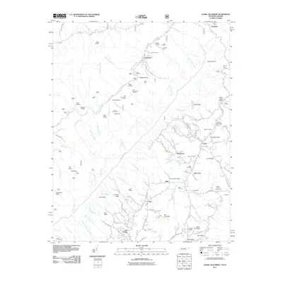
 2013 Laurel Bloomery2013 Print · USGSCovers Johnson County, including Damascus, Wills, and other nearby areas
 - 2013 Map of Mountain City, 2013 Print
 2013 Mountain City2013 Print · USGSCovers Johnson County, including Mountain City, Walnut Grove, and other nearby areas
 - 2013 Map of Carter, 2013 Print
 2013 Carter2013 Print · USGSCovers Johnson County, including Buladeen, Winner, and other nearby areas
 - 2013 Map of Shady Valley, 2013 Print
 2013 Shady Valley2013 Print · USGSCovers Johnson County, including Offset, Camp Tom Howard, and other nearby areas
Showing maps 1-25 of 62
Top cities of Johnson County
Frequently asked questions
- What are the different types of historical maps available for Johnson County?
- What is the oldest map of Johnson County?
- Where can I purchase historical maps of Johnson County for my home or office?
- Where can I download high-res historical maps of Johnson County?
- Are there historical topographic maps available for Johnson County?
- Is there historical aerial imagery available for Johnson County?
- Where are historical maps of Johnson County sourced from?