Old Maps of Oak Grove, Tennessee for Hiking & Exploration
Hike through history with 18 historic maps of Oak Grove. Explore old trails, ghost towns, and forgotten backroads — perfect for outdoor adventurers and local explorers.
- Rediscover forgotten places: Map out old mining camps, roads, and footpaths that no longer exist on modern maps.
- Layer with modern tools: Combine with LiDAR or satellite views to plan hikes through historical terrain.
- Made for exploration: Popular among hikers, overlanders, and local history lovers.
Use these maps to find adventure and explore the hidden past of Oak Grove.
Oak Grove, TN maps
(18)- 1897 Map of Maynardville
 1897 Maynardville1897 Print · USGSEast Tennessee in the late nineteenth century was a landscape of high ridges and vital river fords. Genealogists and historians can trace old homesteads and transit hubs like Nances Ferry, the Lead Mine at New Prospect, and Massongills Mill.
 - 1900 Map of Maynardville
 1900 Maynardville1900 Print · USGSEast Tennessee was a world of river fords and mountain gaps at the turn of the century, dominated by the winding Clinch and Powell rivers. Genealogists can trace family roots through specific landmarks like Massongills Mill, Church Grove, and Sharps Chapel.4 unique versions available
 - 1935 Map of Fountain City
 1935 Fountain City1935 Print · USGSKnox County north of Knoxville in the mid-1930s reveals a transition from traditional ridge-and-valley farming to suburban clusters. Genealogists can trace family names at Mynatt Cem, visit Halls Crossroads, or locate the Beverly Hills Sanitarium.
 - 1936 Map of Gorryton
 1936 Gorryton1936 Print · USGSNortheast of Knoxville in the mid-1930s, the landscape was being reshaped by the newly flooded Norris Reservoir. Genealogists and historians can trace numerous rural landmarks, including Welch Mill, Big Ridge Park Cemetery, and the Southern Railway corridor.
 - 1941 Map of Fountain City
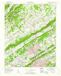
 1941 Fountain City1941 Print · USGSKnox County is captured here just before the mid-century, showing the suburban expansion of Fountain City against the backdrop of the ridge-and-valley landscape. Researchers can locate family landmarks like Lynnhurst Cem, Fort Sumter Sch, and the Beverly Hills Sanitarium.
 - 1953 Map of Fountain City, 1954 Print
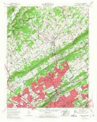
 1953 Fountain City1954 Print · USGSNorth of Knoxville in the early fifties, the landscape was a mix of ridgeline farms and growing suburbs like Fountain City. Genealogists can locate family burial plots at Mayes Chapel Cemetery and landmarks like the Dante School or Beverly Hills Sanatorium.2 unique versions available
 - 1955 Map of Johnson City
 1955 Johnson City1955 Print · USGSEast Tennessee and the bordering highlands of Virginia and Kentucky appear here during the post-war industrial boom. You can trace the complex network of mountain ridges and new TVA lakes, from Johnson City to the coalfields near Middlesboro and Lynch.
 - 1957 Map of Johnson City, 1966 Print
 1957 Johnson City1966 Print · USGSUpper East Tennessee and Southwest Virginia are shown here during the mid-sixties transition of the Appalachians. Researchers can trace the industrial rail hubs of Kingsport, the sprawling waters of Cherokee Lake, and the historic Cumberland Gap.
 - 1960 Map of Johnson City
 1960 Johnson City1960 Print · USGSUpper East Tennessee and the surrounding tri-state area are shown in the mid-fifties during the height of the TVA reservoir era. Trace the industrial rail lines of the Southern and Louisville and Nashville between Kingsport and Johnson City.
 - 1963 Map of Johnson City
 1963 Johnson City1963 Print · USGSThe Tri-Cities and the surrounding Appalachian ridges are shown in detail during the early sixties, highlighting the era's vital rail and river networks. Genealogists and historians can trace the routes of the Clinchfield RR and locate settlements from Rogersville to Elizabethton.
 - 1966 Map of Fountain City, 1968 Print
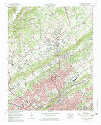
 1966 Fountain City1968 Print · USGSKnoxville's northern suburbs were rapidly transforming in the 1960s as residential growth pushed past Blackoak Ridge. Researchers can find established family cemeteries like Holbert Cem alongside landmarks such as the Beverly Hills Sanatorium.
 - 1978 Map of Fountain City, 1979 Print
 1978 Fountain City1979 Print · USGSNorthern Knox County in the late seventies reveals the steady growth of Fountain City and Inskip along the parallel ridges north of Knoxville. Genealogists can trace family connections through numerous local sites like Lynnhurst Cem, Sterchi Sch, and New Beverly Church.2 unique versions available
 - 1981 Map of Morristown
 1981 Morristown1981 Print · USGSEast Tennessee's ridge-and-valley corridor is captured here in the early eighties, showing the region's transformation by TVA reservoirs. Genealogists and historians can trace family locations near Alpha Ch, follow the Southern Railway, or locate the Young Mine.
 - 2010 Map of Fountain City, 2010 Print
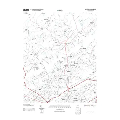
 2010 Fountain City2010 Print · USGSCovers Oak Grove, including Knoxville, Powell, and other nearby areas
 - 2013 Map of Fountain City, 2013 Print
 2013 Fountain City2013 Print · USGSCovers Oak Grove, including Knoxville, Powell, and other nearby areas
 - 2016 Map of Fountain City, 2016 Print
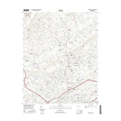 2016 Fountain City2016 Print · USGSCovers Oak Grove, including Knoxville, Powell, and other nearby areas
 - 2019 Map of Fountain City, 2019 Print
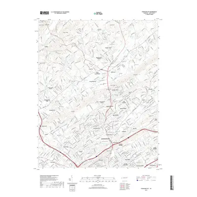 2019 Fountain City2019 Print · USGSCovers Oak Grove, including Knoxville, Powell, and other nearby areas
 - 2022 Map of Fountain City, 2022 Print
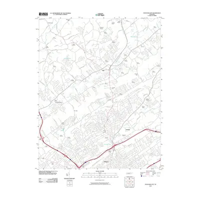
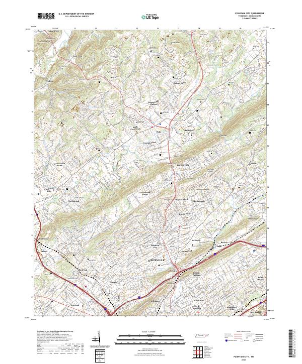 2022 Fountain City2022 Print · USGSKnox County settlement patterns are on full display here during the early twenty-first century as Knoxville expands northward. Researchers can trace numerous local landmarks and burial sites, from Halls Crossroads to Lynnhurst Cem and Granny Bright Spring.
End of results
Showing maps 1-18 of 18
Top cities near Oak Grove
- Knoxville historical maps
- Powell historical maps
- Halls Crossroads historical maps
- Clinton historical maps
- Alcoa historical maps
- Maynardville historical maps
See more
Frequently asked questions
- What are the different types of historical maps available for Oak Grove?
- What is the oldest map of Oak Grove?
- Where can I purchase historical maps of Oak Grove for my home or office?
- Where can I download high-res historical maps of Oak Grove?
- Are there historical topographic maps available for Oak Grove?
- Is there historical aerial imagery available for Oak Grove?
- Where are historical maps of Oak Grove sourced from?