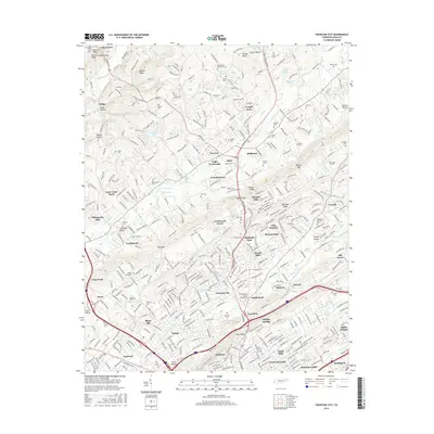
2016 Map of Fountain City
USGS Topo · Published 2016About this map
Sharp Ridge and Beaver Ridge dominate the landscape north of Knoxville, framing a corridor of suburban growth and established communities. This 2016 survey captures the density of north Knox County, anchored by Fountain City and the crossroads at Inskip. The map reveals a high concentration of historical family and community burial grounds, such as Anderson-Gouffon Cem and Bradley Cem, which serve as vital markers for local genealogists. The transportation network is defined by the intersection of Norris Fwy and Maynardville Pike, facilitating the expansion of neighborhoods like Halls Crossroads and Shannondale. Notable educational and recreational landmarks include the Fountainhead Coll of Technology and Lynnhurst Lake, illustrating the post-war development of this region into a bustling residential and commercial hub north of the city center.
Find a feature on this map
109 named features on this map. Tap any name to fly to it.
Don’t see what you’re looking for? This feature index may not catch every label — zoom into the map to look around manually.
Map Details
Editions of this 2016 Fountain City Map
This is the sole edition of this map. No revisions or reprints were ever made.
Other maps of this area

1886 · Knoxville
USGS Topo · 1:125,000

1892 · Knoxville
USGS Topo · 1:125,000

1893 · Briceville
USGS Topo · 1:125,000

1894 · Knoxville
USGS Topo · 1:125,000

1895 · Loudon
USGS Topo · 1:125,000

1895 · Briceville
USGS Topo · 1:125,000

1895 · Knoxville
USGS Topo · 1:125,000

1896 · Briceville
USGS Topo · 1:125,000

1897 · Maynardville
USGS Topo · 1:125,000

1900 · Maynardville
USGS Topo · 1:125,000