2000s (21st Century) Maps of Lincoln County, Tennessee
Explore 100 historic maps of Lincoln County from the 2000s (21st Century). These maps offer a rare glimpse into what life looked like during the 2000s — showing old roads, neighborhoods, homes, and landmarks that have changed or disappeared over time.
Whether you're researching your family's past, planning a metal detecting trip, or studying how Lincoln County's landscape evolved across the 2000s, these high-resolution maps are a powerful tool for exploring the history of this region.
- Focus on a specific era: All maps on this page are from the 2000s, giving you a focused view of this time period.
- See what’s changed: Compare century-old streets, trails, and buildings to today's modern landscape using overlays and satellite layers.
- Research with precision: Use these maps for genealogy, historical research, land use analysis, or educational projects.
- View, download, or print: Maps are fully viewable online in high resolution, and can be downloaded or printed for your own records.
Start exploring Lincoln County's history through authentic maps from the 2000s. This is your window into the past.
Lincoln County, TN maps
(100)- 2010 Map of King Cove, 2010 Print
 2010 King Cove2010 Print · USGSCrossing the Alabama and Tennessee line, this 2010 survey shows a landscape of deep coves and family-named hollows. Genealogists can locate several remote burial grounds, including Bethel Cemetery, Crowell Cemetery, and King Cove Cemetery.
 - 2010 Map of Toney, 2010 Print
 2010 Toney2010 Print · USGSMadison County on the Alabama-Tennessee border is shown here in the early twenty-first century, just as suburban growth began to meet its rural roots. Genealogists can locate dozens of family burial sites like Golightly Cemetery and landmarks such as the Toney Post Office or Scott's Orchard.
 - 2010 Map of Fisk, 2010 Print
 2010 Fisk2010 Print · USGSThe Alabama-Tennessee borderlands north of Huntsville come into focus during this early 21st-century survey. Genealogists can trace hundreds of family ties through a remarkable density of burial sites such as Saint Rebecca Cemetery and McGehee Cemetery.
 - 2010 Map of New Market, 2010 Print
 2010 New Market2010 Print · USGSMadison County, Alabama, near the Tennessee border, maintains its rural character in the early twenty-first century. Genealogists and historians can trace family locations through numerous sites like Britton Cemetery, the community of Walnut Grove, and the historic Bloucher Ford.
 - 2010 Map of Ardmore, 2010 Print
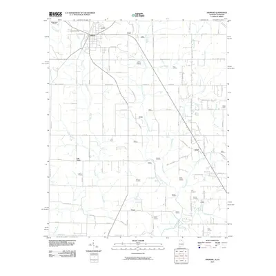 2010 Ardmore2010 Print · USGSArdmore sat at the crossroads of the Alabama-Tennessee border during this era of rural transition. Genealogists can locate dozens of family burial sites like the German Cemetery and Moore Chapel Cemetery, or trace roots near Wooley Spring.
 - 2010 Map of Flintville, 2010 Print
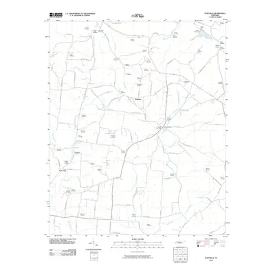 2010 Flintville2010 Print · USGSLincoln County’s rural character is on full display in the early twenty-first century as the Flint River meanders through established communities. Genealogists and historians can trace dozens of family burial grounds, including the Snoddy Cemetery, Bostick Cemetery, and the rail point at Milners Switch.
 - 2010 Map of Belleville, 2010 Print
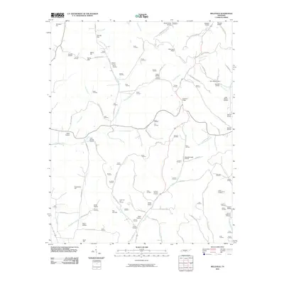 2010 Belleville2010 Print · USGSLincoln County in the early twenty-first century remains a landscape of family-named ridges and hollows. Genealogists can trace deep local roots through over a dozen mapped burial sites, including McAdam Cemetery, Nichols Cemetery, and Warren Cemetery.
 - 2010 Map of Boonshill, 2010 Print
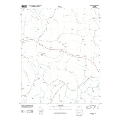 2010 Boonshill2010 Print · USGSLincoln County’s landscape of hollows and river bends is documented here during the early twenty-first century. Genealogists can trace family landmarks and numerous burial sites, from Boonshill Cemetery to the Cathey Cemetery and Hamilton Cemetery.
 - 2010 Map of Fayetteville, 2010 Print
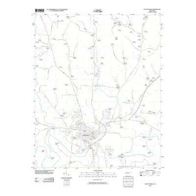 2010 Fayetteville2010 Print · USGSLincoln County at the start of the twenty-first century reveals a landscape where the Fayetteville community meets the winding Elk River. Researchers can trace dozens of family burial sites including the Buntley Cemeteries and landmarks like the Lincoln County Fairgrounds.
 - 2010 Map of Huntland, 2010 Print
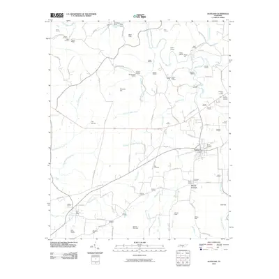 2010 Huntland2010 Print · USGSHuntland and the southern Franklin County countryside are captured here in a period of rural stability. Researchers can trace ancestral locations through dozens of named burial sites like Old Beans Creek Cemetery and Hunt-Larkin Cemetery or find old homesites near Rich Crossing.
 - 2010 Map of Lincoln, 2010 Print
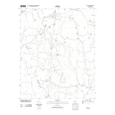 2010 Lincoln2010 Print · USGSLincoln County at the start of the 2010s reveals a deeply personal landscape of family cemeteries and rural ridges. Genealogists can trace hundreds of family ties through landmarks like Lincoln Cemetery, McGee-McCartney Cemetery, and Pea Ridge.
 - 2010 Map of Mulberry, 2010 Print
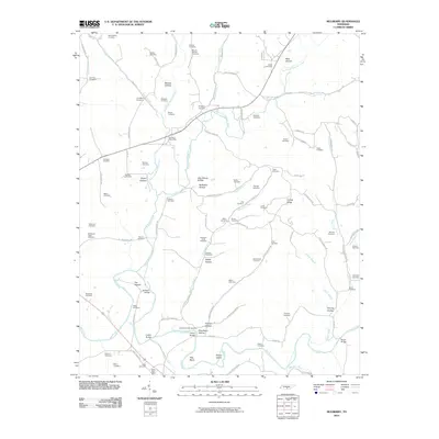 2010 Mulberry2010 Print · USGSThe Elk River valley south of Mulberry shows a deeply carved landscape of family-named hollows and river bends during the early twenty-first century. Researchers can locate dozens of ancestral sites like the Mount Moriah Cemetery or trace the early community at The Quarter.
 - 2010 Map of Lynchburg West, 2010 Print
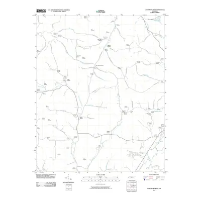 2010 Lynchburg West2010 Print · USGSThe rural landscape west of Lynchburg reveals a complex network of hollows and family cemeteries in the early twenty-first century. Genealogists can trace family roots at sites like the Motlow Cemetery, Old Mount Herman Cemetery, and Boonnville Cemetery.
 - 2010 Map of Taft, 2010 Print
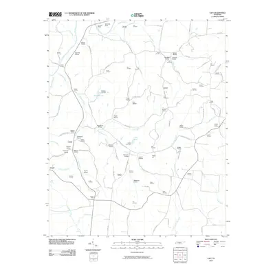 2010 Taft2010 Print · USGSSouthern Tennessee's borderlands are mapped here in the early twenty-first century, showing a landscape defined by the winding Elk River and a dense network of family-named hollows. Researchers can locate numerous historic burial sites and landmarks, including Abernathy Cemetery, Hobbs Bridge, and the Taft Post Office.
 - 2010 Map of Lois, 2010 Print
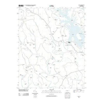 2010 Lois2010 Print · USGSThe Elk River valley is captured here in the early twenty-first century as the waters of Murray Lake fill the deep hollows around the Tims Ford Dam. Local researchers can locate dozens of ancestral burial grounds, including Lois Cemetery, Brownington Cemetery, and Marble Plains Cemetery.
 - 2010 Map of Petersburg, 2010 Print
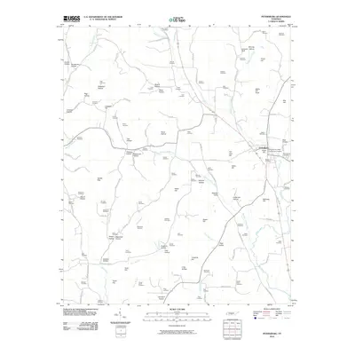 2010 Petersburg2010 Print · USGSPetersburg and its surrounding Tennessee valleys are captured here in the early twenty-first century. Genealogists and local historians can trace family land across dozens of sites like the Larwood Cemetery, Pleasant Valley, and Whorley Leonard Bluff.
 - 2010 Map of Dellrose, 2010 Print
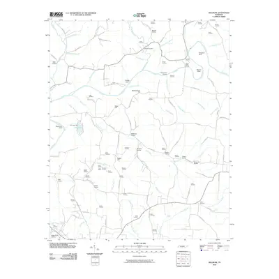 2010 Dellrose2010 Print · USGSSouthern Tennessee's river-carved valleys are captured here in the early twenty-first century, centered on the winding Elk River. Genealogists and local historians can trace family roots through numerous sites like Stone Cemetery, the Luda Tunnel, and the historic Dellrose Post Office.
 - 2010 Map of Frankewing, 2010 Print
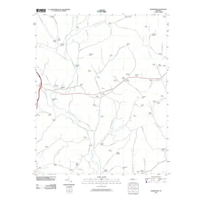 2010 Frankewing2010 Print · USGSSouthern Tennessee's rural landscape is meticulously detailed in this 2010 survey, showcasing a dense network of family-named hollows and historic burial grounds. Researchers can trace land ties and lineage through Frankewing Post Office, Bee Spring Cemetery, and Ballentine Bluff.
 - 2010 Map of Cornersville, 2010 Print
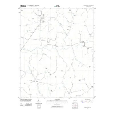 2010 Cornersville2010 Print · USGSCornersville and the surrounding Tennessee highlands are documented here during the early twenty-first century. Genealogists and local historians can trace family roots through numerous burial sites like Horton Cemetery, Beech Cliff Church, and Mount Pleasant Cemetery.
 - 2011 Map of New Market, 2011 Print
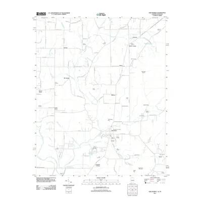 2011 New Market2011 Print · USGSMadison County at the turn of the decade remains a landscape of tightly-knit rural communities and family legacies near the Tennessee border. Genealogists and historians can locate numerous family burial sites and landmarks like Bloucher Ford, Steele Crossing, and Camp Macoba.
 - 2011 Map of King Cove, 2011 Print
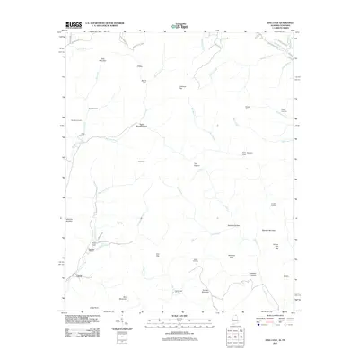 2011 King Cove2011 Print · USGSThe Alabama-Tennessee borderlands are captured here in the early twenty-first century, showing a landscape of high peaks and isolated coves. Researchers can trace family history through sites like Hudson Cemetery, Hambrick Sinks, and King Cove.
 - 2011 Map of Toney, 2011 Print
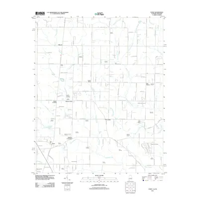 2011 Toney2011 Print · USGSMadison County at the turn of the decade remains a landscape of historic family farmsteads and rural crossroads. Genealogists and local historians can trace legacy sites like Golightly Cemetery, the Toney Post Office, and the path of the Old Railroad Bed Rd.
 - 2011 Map of Ardmore, 2011 Print
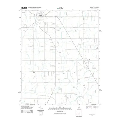 2011 Ardmore2011 Print · USGSThe Alabama-Tennessee borderlands appear here in the early twenty-first century, centered on the growing community of Ardmore. Family historians can trace deep roots through dozens of local burial grounds like Gatlin Cemetery, German Cemetery, and Adams-Crutcher Cemetery.
 - 2011 Map of Fisk, 2011 Print
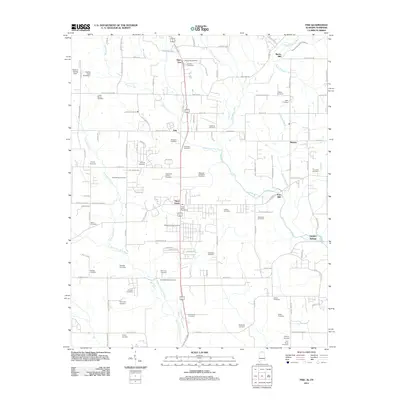 2011 Fisk2011 Print · USGSThe Alabama-Tennessee borderlands come into focus in the early 2000s, centered on the growing crossroads of Hazel Green. Genealogists and local historians can trace family roots through dozens of sites like Welbourn-King Cemetery, Bucks Mill, and the settlement of Skinem.
 - 2013 Map of Taft, 2013 Print
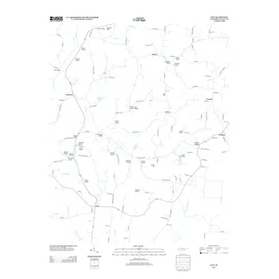 2013 Taft2013 Print · USGSLincoln County at the start of the 2010s reveals a landscape of enduring rural communities and deeply etched hollows. Researchers can trace family-named sites across Stillhouse Hollow and McDill Hollow or locate crossings like Hobbs Bridge.
Showing maps 1-25 of 100
Top cities of Lincoln County
Frequently asked questions
- What are the different types of historical maps available for Lincoln County?
- What is the oldest map of Lincoln County?
- Where can I purchase historical maps of Lincoln County for my home or office?
- Where can I download high-res historical maps of Lincoln County?
- Are there historical topographic maps available for Lincoln County?
- Is there historical aerial imagery available for Lincoln County?
- Where are historical maps of Lincoln County sourced from?