Old Maps of Millville, Tennessee for Academic Research
Study the evolution of Millville with 10 high-resolution historic maps. Whether you're teaching, researching, or modeling changes in land use, these maps provide essential visual documentation of urban, environmental, and geographic change.
- Analyze long-term change: Track patterns in development, transportation, and natural features.
- Ideal for environmental or urban studies: Support academic projects with primary historical map data.
- Use in the classroom or lab: Educators and researchers rely on these maps to bring historical context to life.
These maps are a powerful tool for teaching, research, and visualizing how Millville has changed over the decades.
Millville, TN maps
(10)- 1936 Map of Frankewing
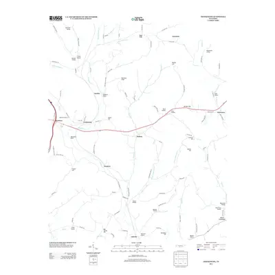
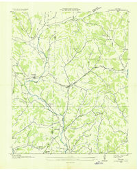 1936 Frankewing1936 Print · USGSThe Giles and Lincoln County border in the mid-1930s was a landscape of creek-side hamlets and rail-line commerce. Genealogists can trace family landmarks like Youngs Chapel Cem, Sawyer Cem, and the community at Bee Spring Hill.
 - 1948 Map of Frankewing, 1975 Print
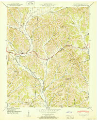
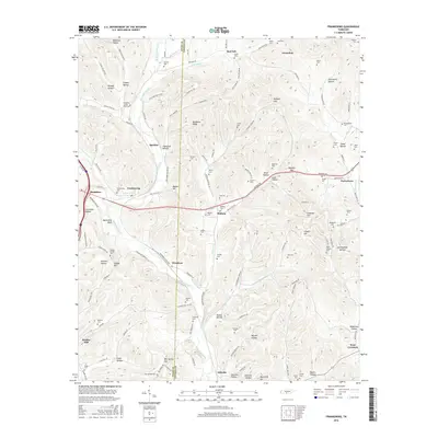
 1948 Frankewing1975 Print · USGSGiles and Lincoln counties are captured here at mid-century, just as modern road improvements began to reshape the rural landscape. Researchers can trace family history through numerous landmarks like Center Ridge School, Hedgepeth Cem, and the village of Frankewing.2 unique versions available
 - 1951 Map of Frankewing
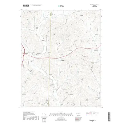
 1951 Frankewing1951 Print · USGSGiles and Lincoln counties are captured here just after the war, showing a landscape defined by ridge-top gaps and valley railroads. Researchers can trace family history through several rural cemeteries and schools, including Garrett Cem, Center Ridge School, and the settlement of McBurg.
 - 1956 Map of Columbia, 1960 Print
 1956 Columbia1960 Print · USGSMiddle Tennessee in the mid-fifties presents a landscape of established river towns and critical rail hubs before the arrival of the modern interstate system. Researchers can trace the routes of the Louisville and Nashville railroad or locate historic landmarks like Stones River National Military Park and the Tennessee National Wildlife Refuge.6 unique versions available
 - 1981 Map of Tullahoma, 1982 Print
 1981 Tullahoma1982 Print · USGSSouthern Tennessee enters the 1980s with a mix of aerospace technology and deep rural roots. Researchers can trace the L & N RR through Shelbyville and Fayetteville or locate family sites like Old Salem Cem and Blanton Chapel near the Cumberland Plateau.
 - 2010 Map of Frankewing, 2010 Print
 2010 Frankewing2010 Print · USGSCovers Millville, including Taylortown, Jerusalem, and other nearby areas
 - 2013 Map of Frankewing, 2013 Print
 2013 Frankewing2013 Print · USGSCovers Millville, including Taylortown, Jerusalem, and other nearby areas
 - 2016 Map of Frankewing, 2016 Print
 2016 Frankewing2016 Print · USGSCovers Millville, including Taylortown, Jerusalem, and other nearby areas
 - 2019 Map of Frankewing, 2019 Print
 2019 Frankewing2019 Print · USGSCovers Millville, including Taylortown, Jerusalem, and other nearby areas
 - 2022 Map of Frankewing, 2022 Print
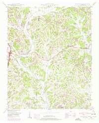
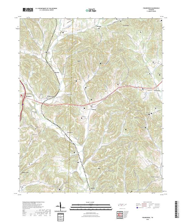 2022 Frankewing2022 Print · USGSThe hills of Giles and Lincoln Counties come alive in this survey of the Tennessee borderlands, showcasing a landscape carved by winding hollows and ridge-top settlements. Genealogists can trace family roots through numerous remote burial sites like Beasley Cem, Mcburg Cem, and the high ground of Bee Spring Hill.
End of results
Showing maps 1-10 of 10
Top cities near Millville
- Pulaski historical maps
- Fayetteville historical maps
- Ardmore historical maps
- Cornersville historical maps
- Petersburg historical maps
- Elkton historical maps
See more
Frequently asked questions
- What are the different types of historical maps available for Millville?
- What is the oldest map of Millville?
- Where can I purchase historical maps of Millville for my home or office?
- Where can I download high-res historical maps of Millville?
- Are there historical topographic maps available for Millville?
- Is there historical aerial imagery available for Millville?
- Where are historical maps of Millville sourced from?