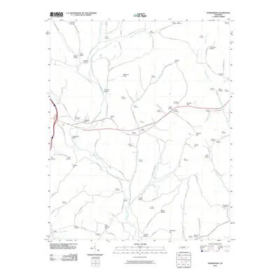
2010 Map of Frankewing
USGS Topo · Published 2010About this map
Frankewing Post Office serves as a central landmark in this corner of Giles and Lincoln Counties, where the landscape is defined by the winding course of Bradshaw Creek and its many tributaries. The area is dense with family-named burial grounds and topographical features, reflecting generations of rural settlement. Landmarks like Backbone Ridge and Ballentine Bluff overlook a network of hollows, including Tightbark Hollow and Reed Hollow, which channeled early roads and homesteads.
Find a feature on this map
119 named features on this map. Tap any name to fly to it.
Don’t see what you’re looking for? This feature index may not catch every label — zoom into the map to look around manually.
Map Details
Editions of this 2010 Frankewing Map
This is the sole edition of this map. No revisions or reprints were ever made.
Other maps of this area
1936 · Cornersville
USGS Topo · 1:24,000
1936 · Taft
USGS Topo · 1:24,000
1936 · Boonshill
USGS Topo · 1:24,000
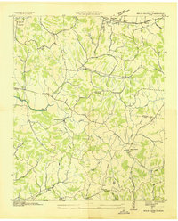
1936 · Brick Church
USGS Topo · 1:24,000
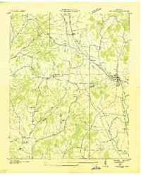
1936 · Petersburg
USGS Topo · 1:24,000
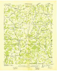
1936 · Tarpley
USGS Topo · 1:24,000
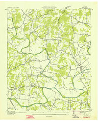
1936 · Elkton
USGS Topo · 1:24,000
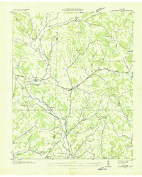
1936 · Frankewing
USGS Topo · 1:24,000
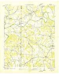
1936 · Dellrose
USGS Topo · 1:24,000
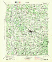
1944 · Shelbyville
USGS Topo · 1:100,000